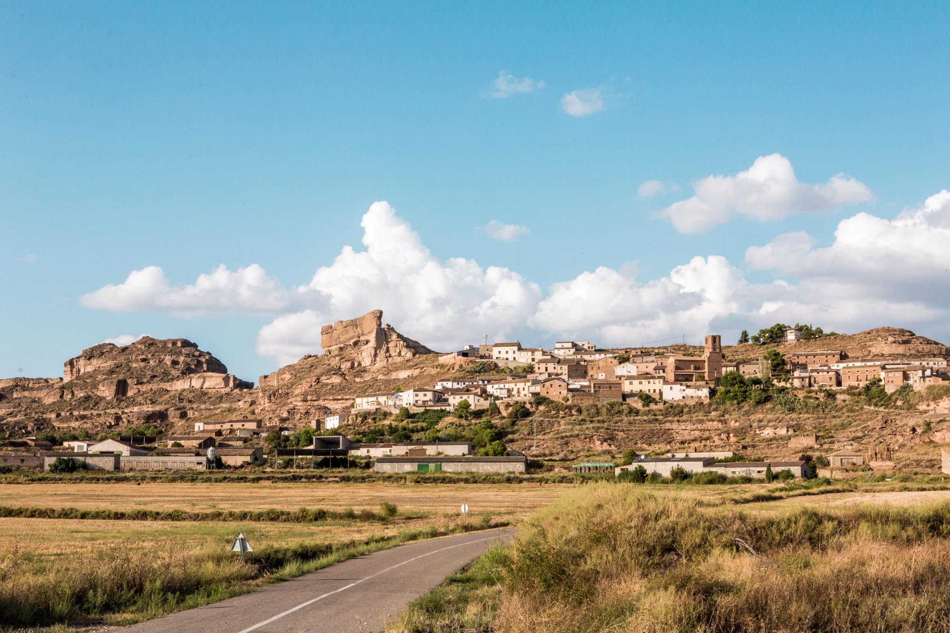

San Mateo de Gállego
local_hotelAccommodationlocal_gas_stationPetrol Station
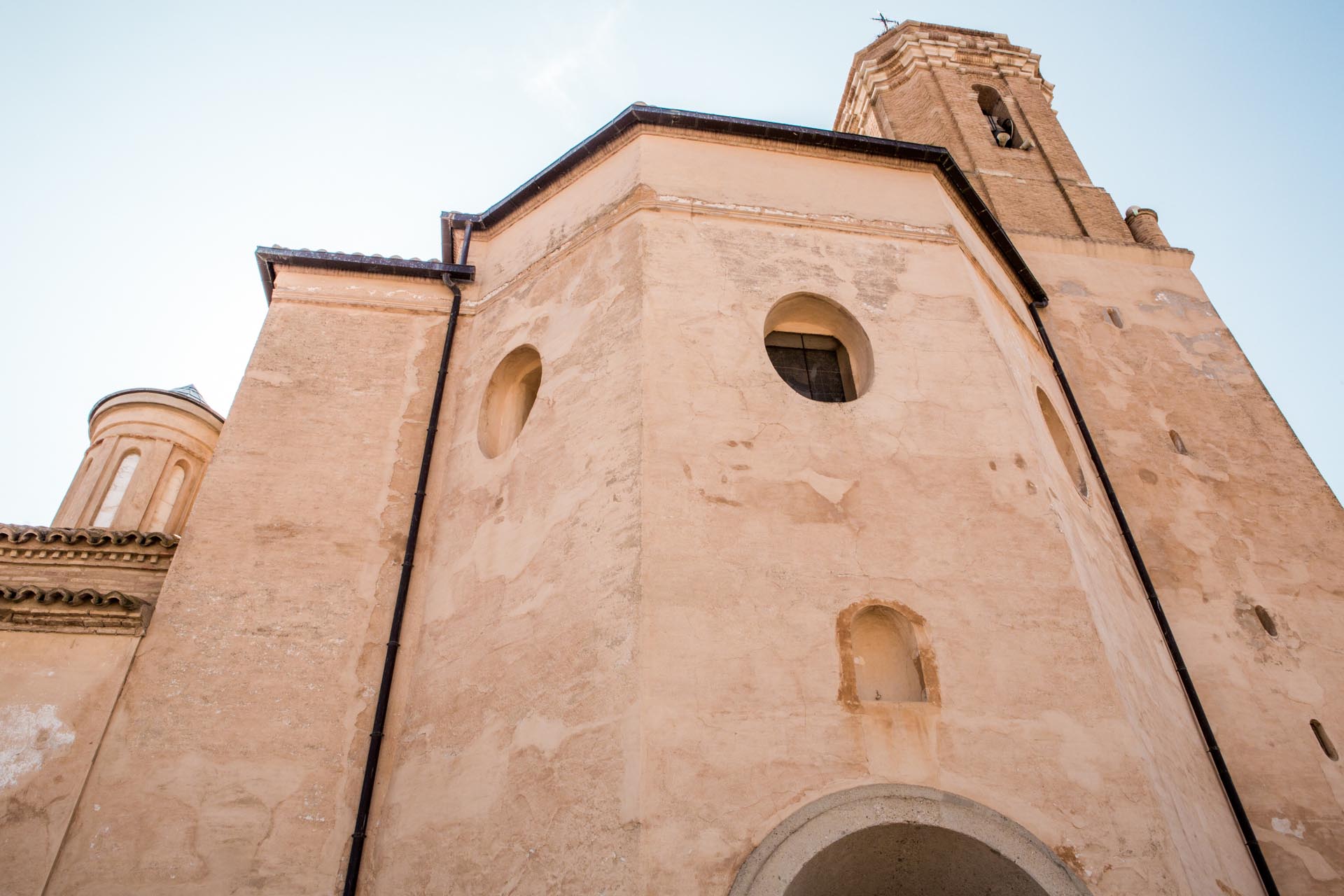
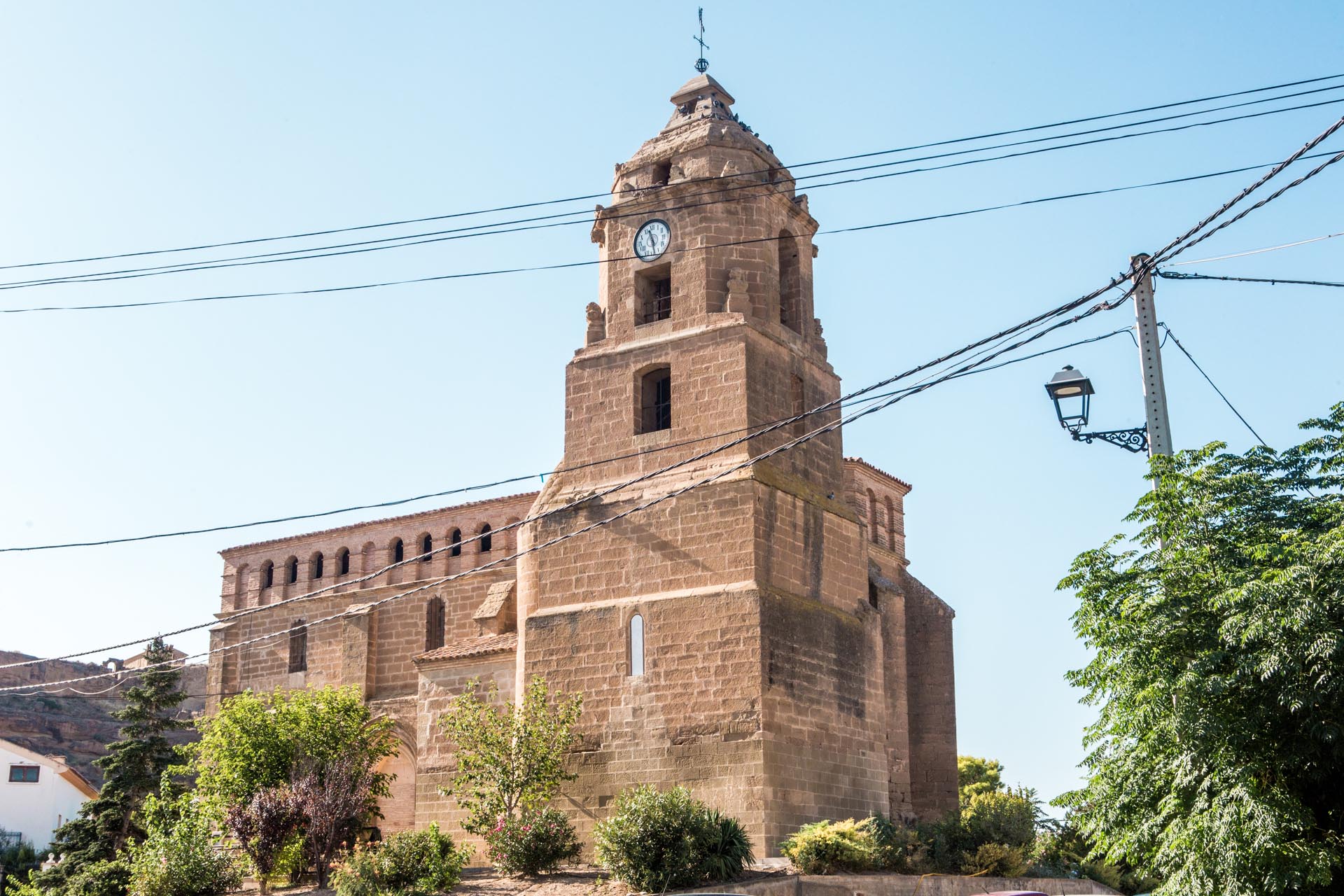
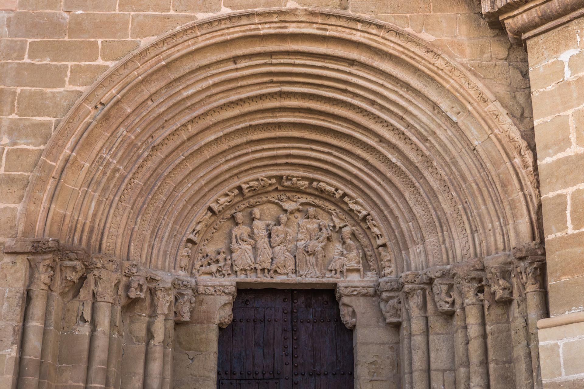
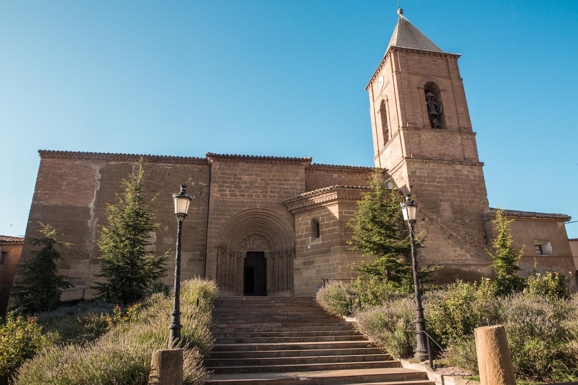
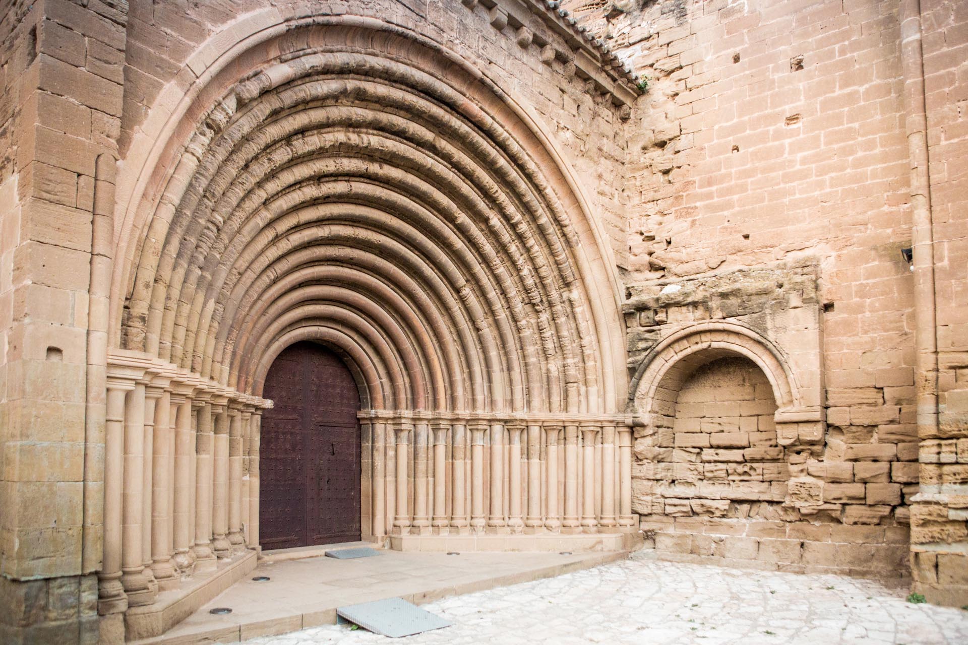
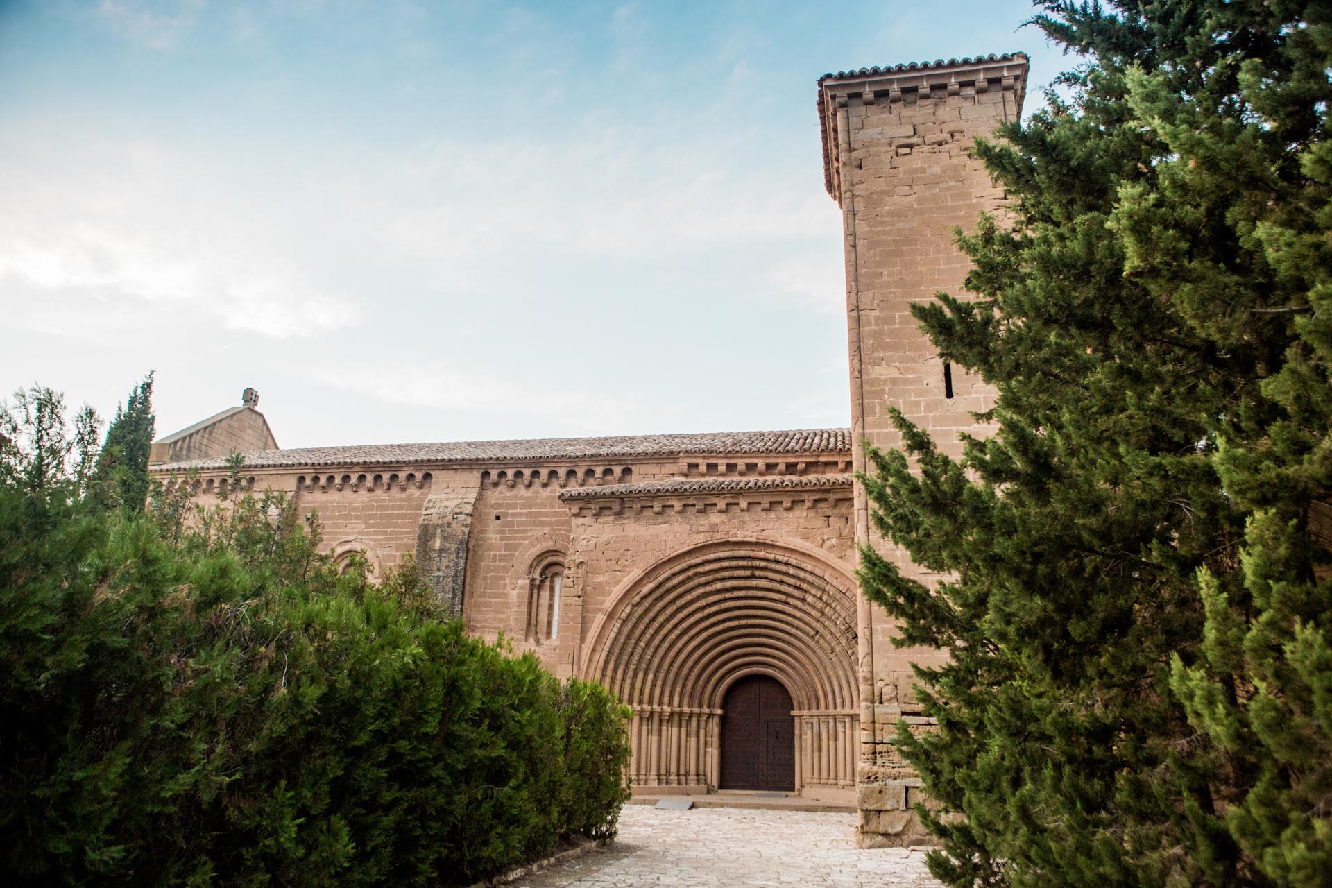
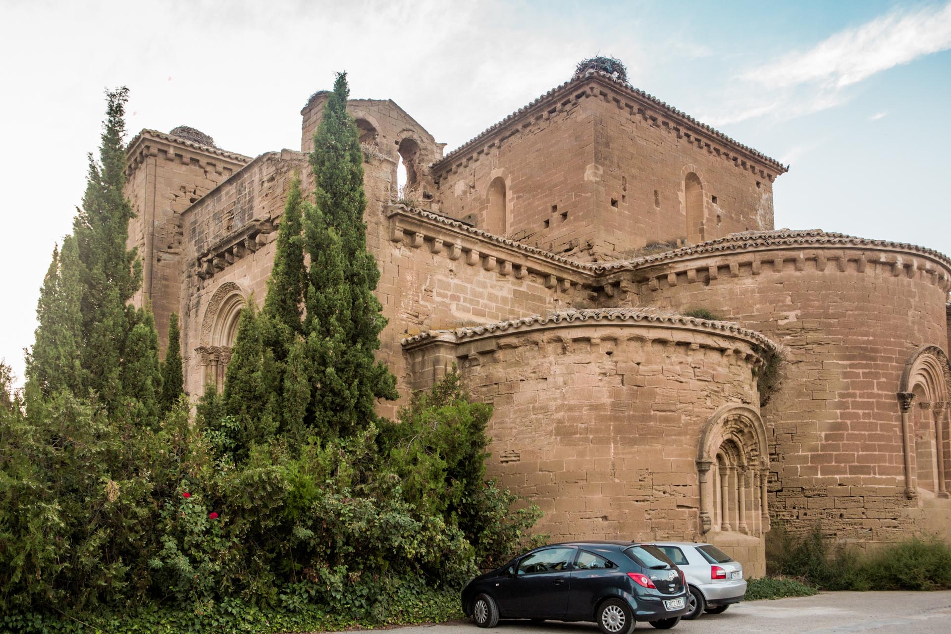
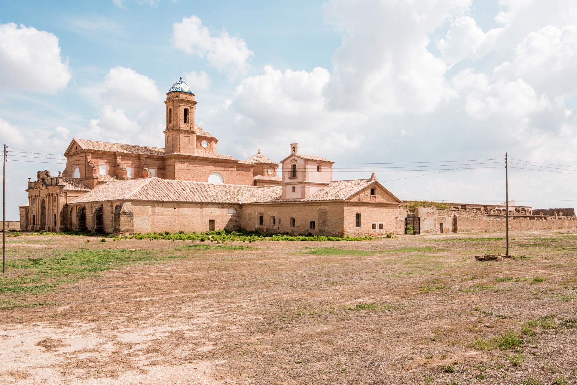
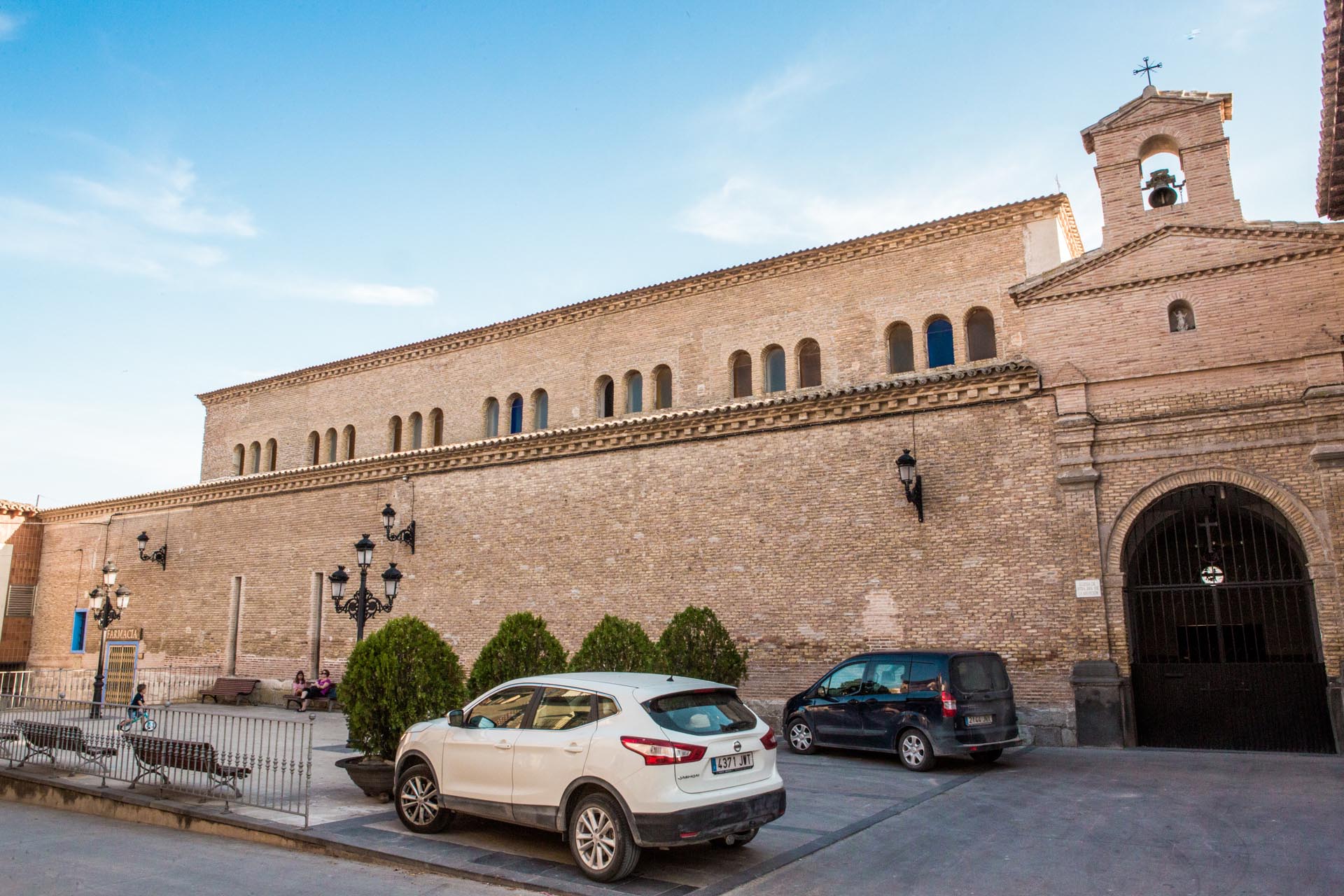
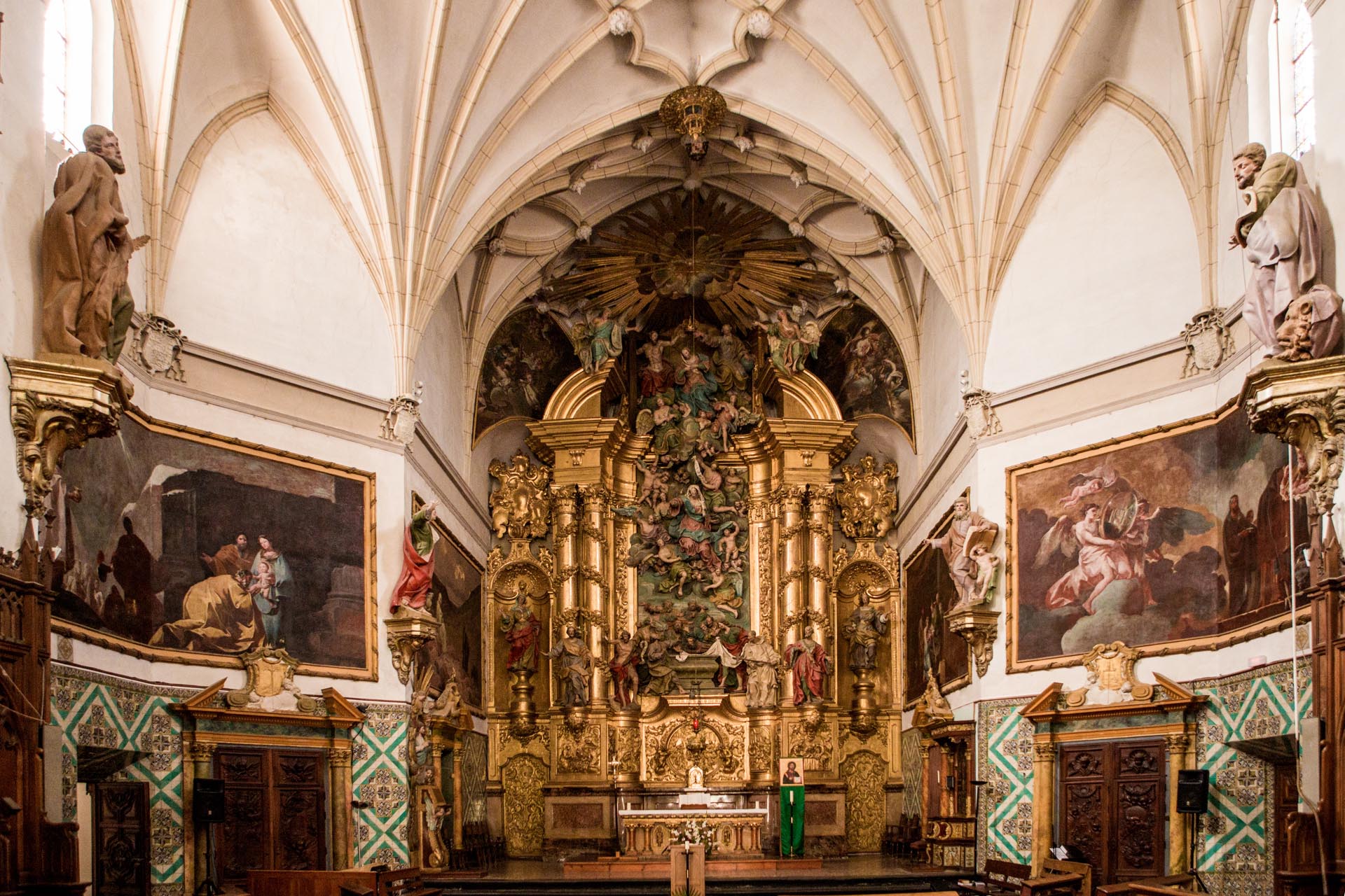
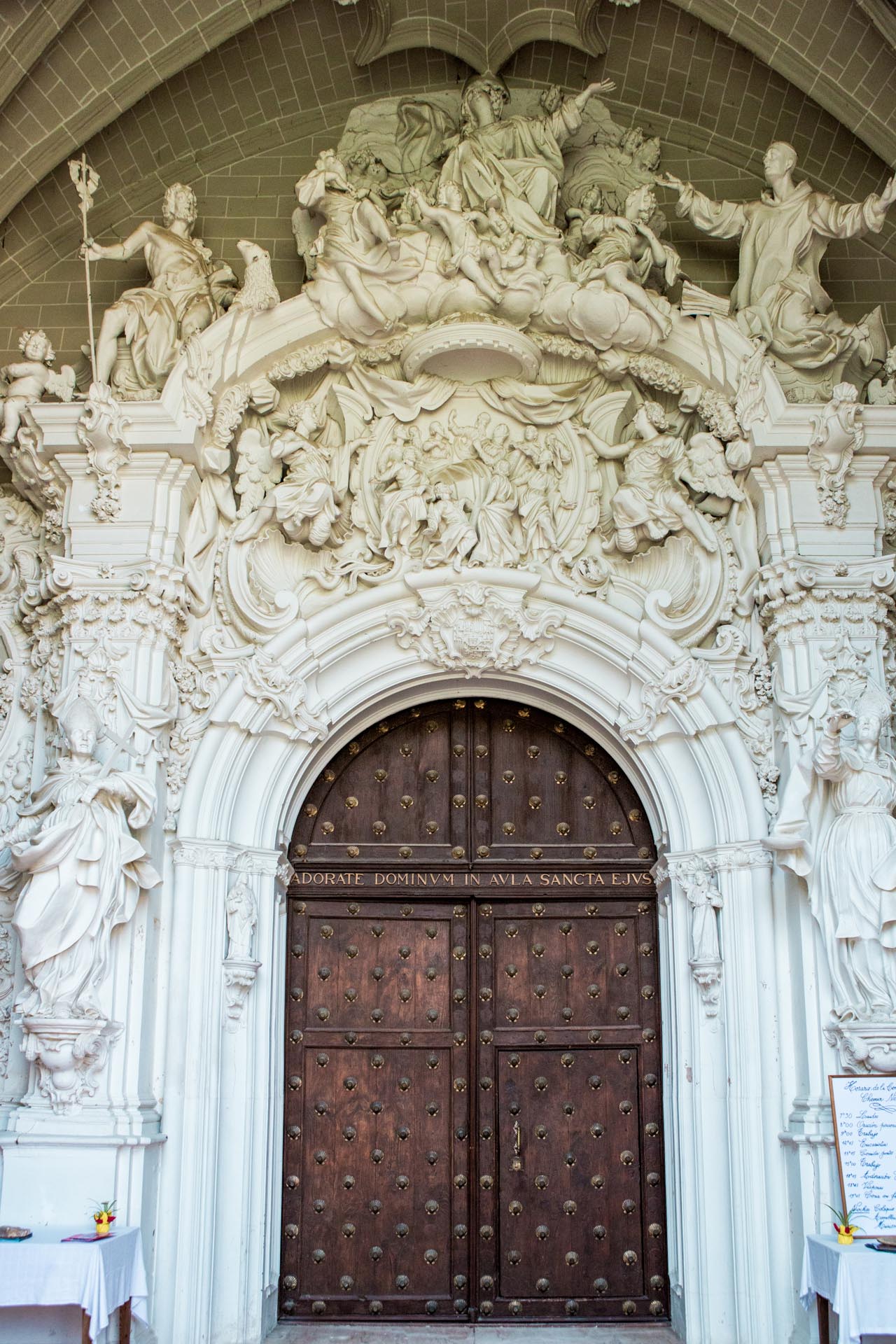
The village is located in the immediate vicinity of the Aragonese capital, on the banks of the Gállego River. The most important monument is the church, its tower being its most distinctive feature. It is located at one end of the old town, where a deep cut in the riverbed borders the hamlet and serves as a natural lookout over the wide valley. Its style is Mudéjar-Aragonese and, together with the rest of the Aragonese Mudéjar building, constitutes a UNESCO World Heritage Site. The simple decoration, without large windows, makes us think of its past as the fortified tower of the castle, which still today gives its name to the square where the church is located.
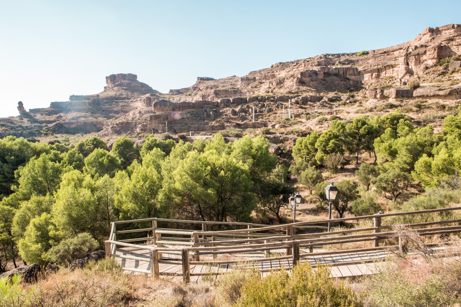
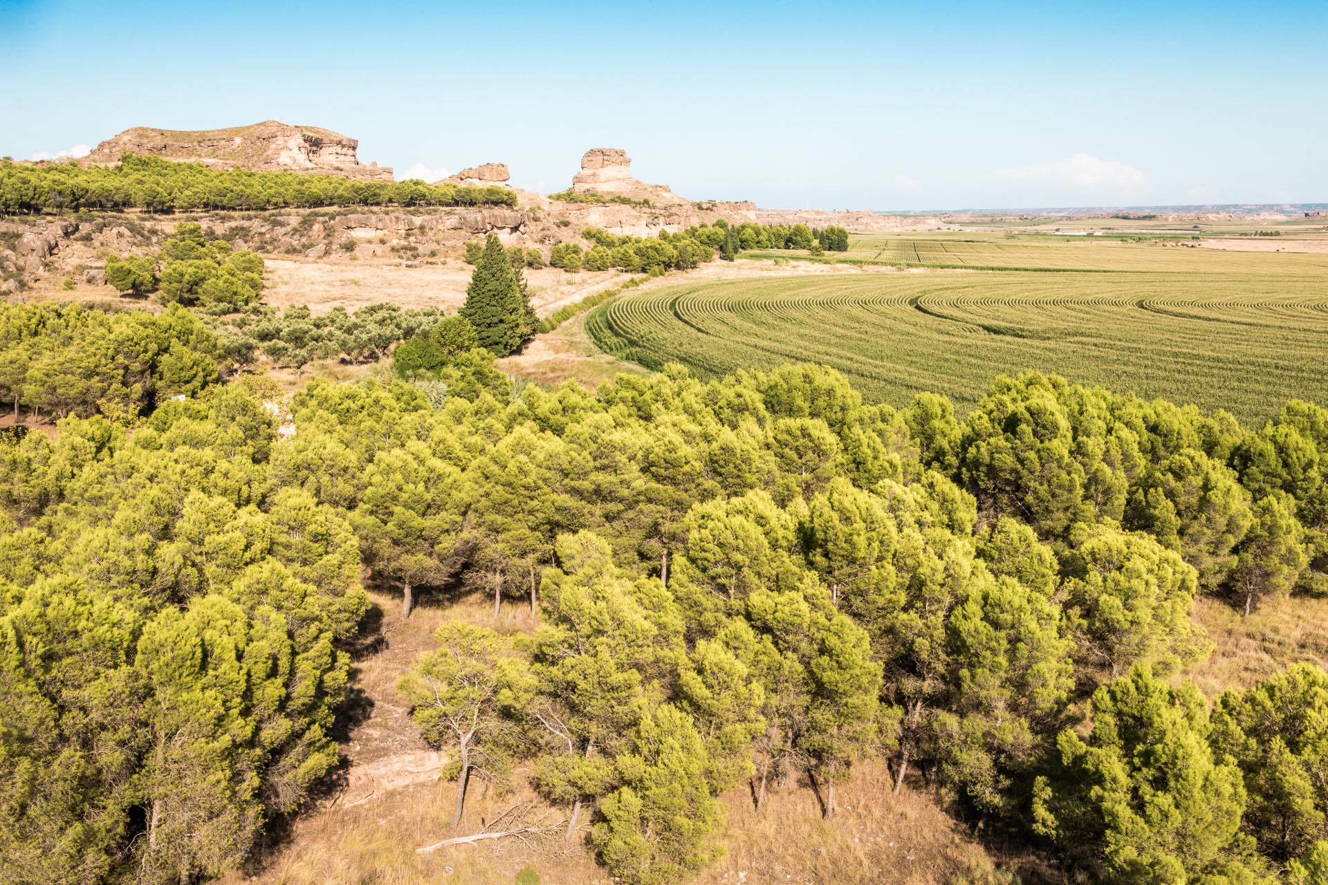
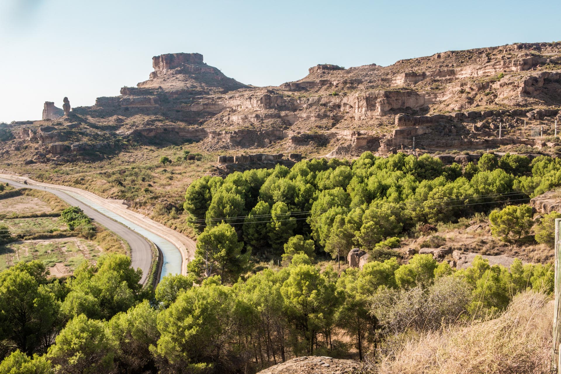
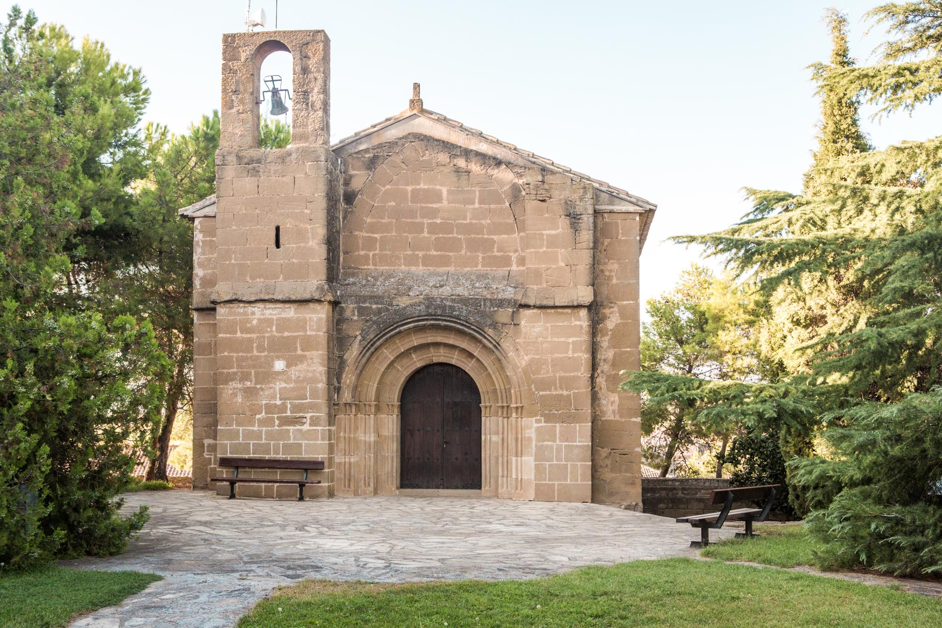
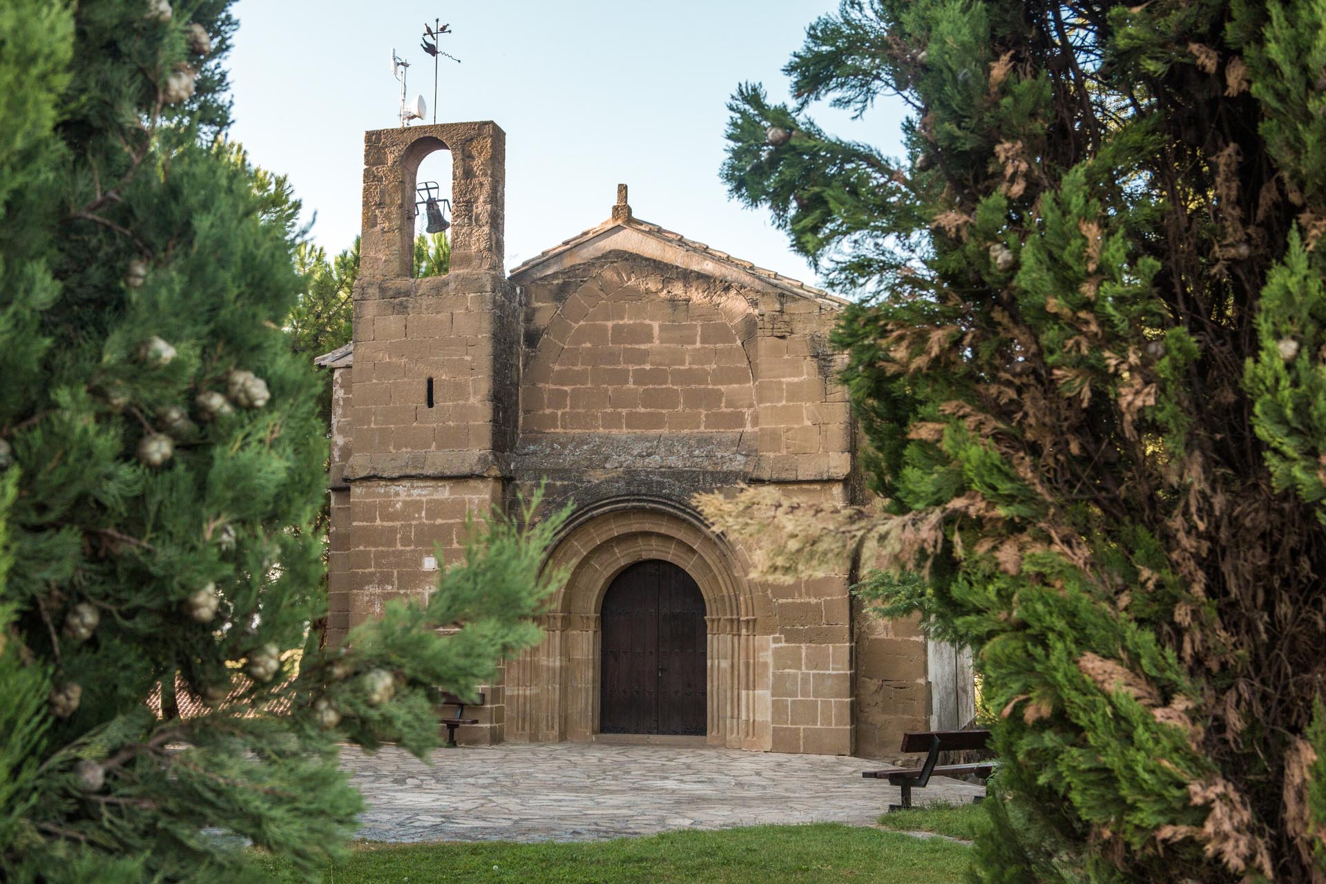
The inhabitants of San Mateo de Gállego prefer two walks: one along the Camarera irrigation channel, which decorates the whole city from one end to the other, and the other to the Santa Engracia hermitage, from where you can see the whole city.
Fernando Malo’s Workshop-Museum is an interpretation centre of 21st century Mudéjar ceramics, where you can discover the value of the craft of ceramics throughout history.