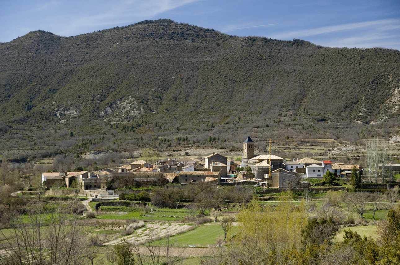
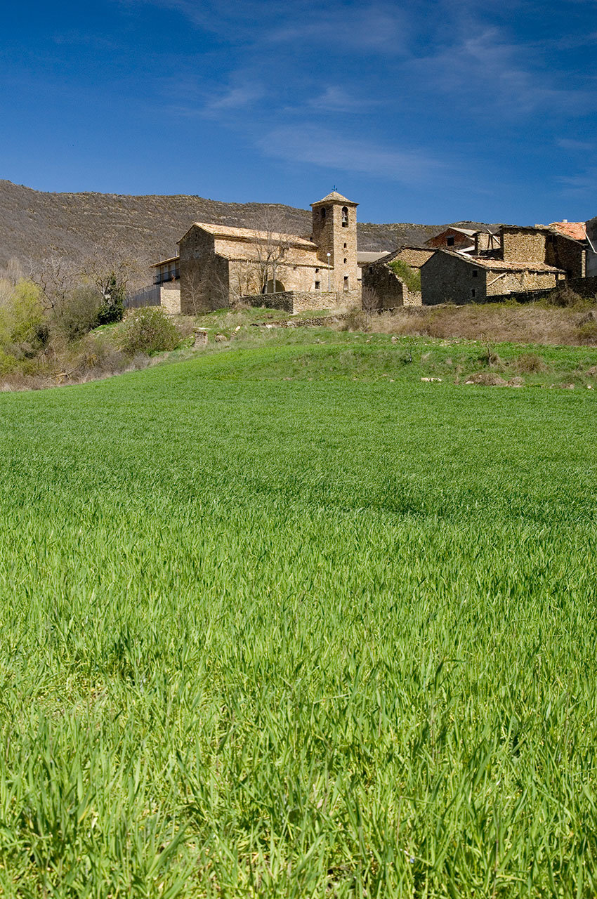
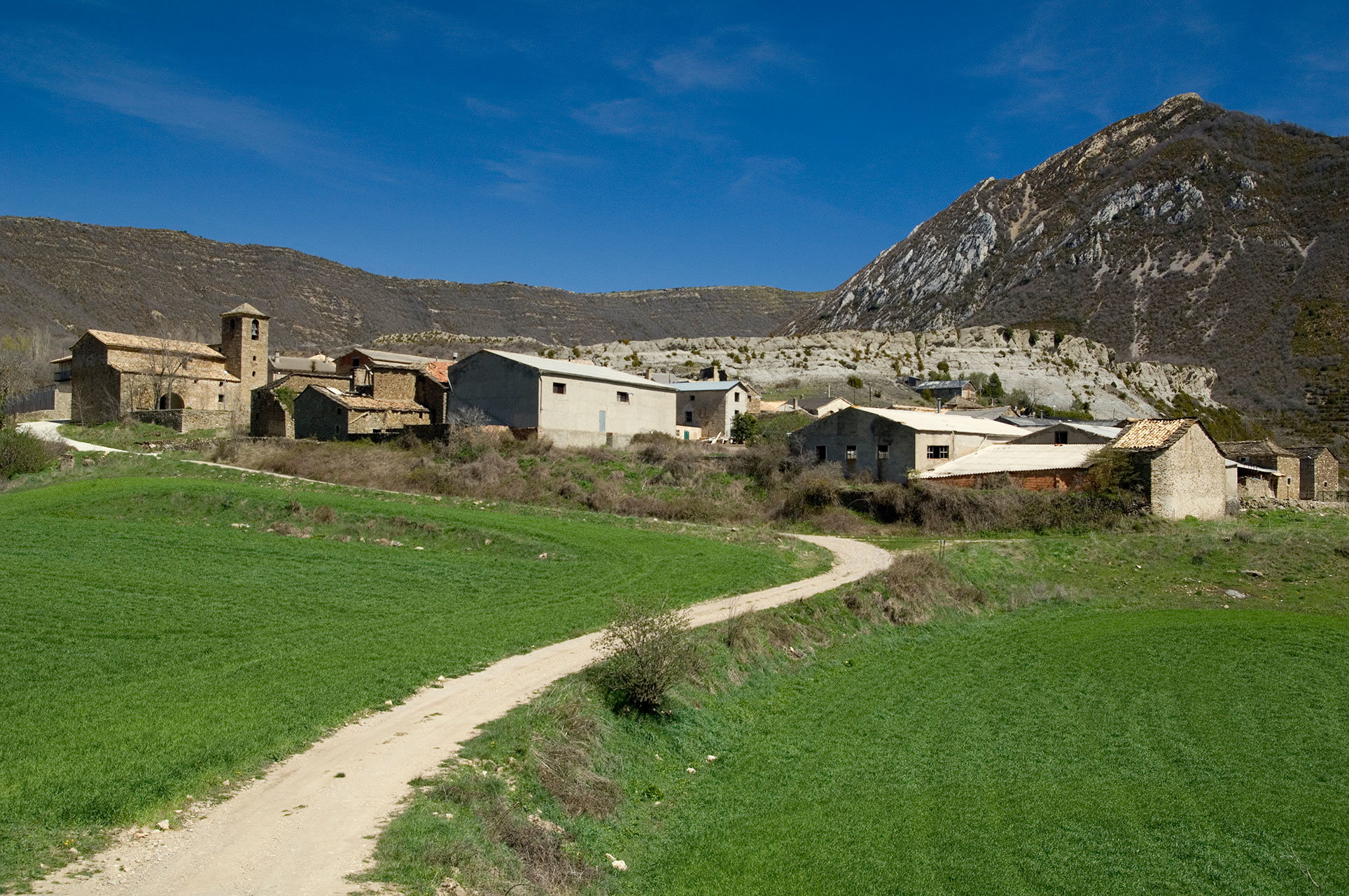
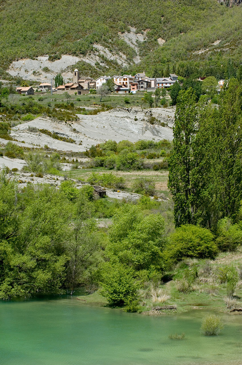
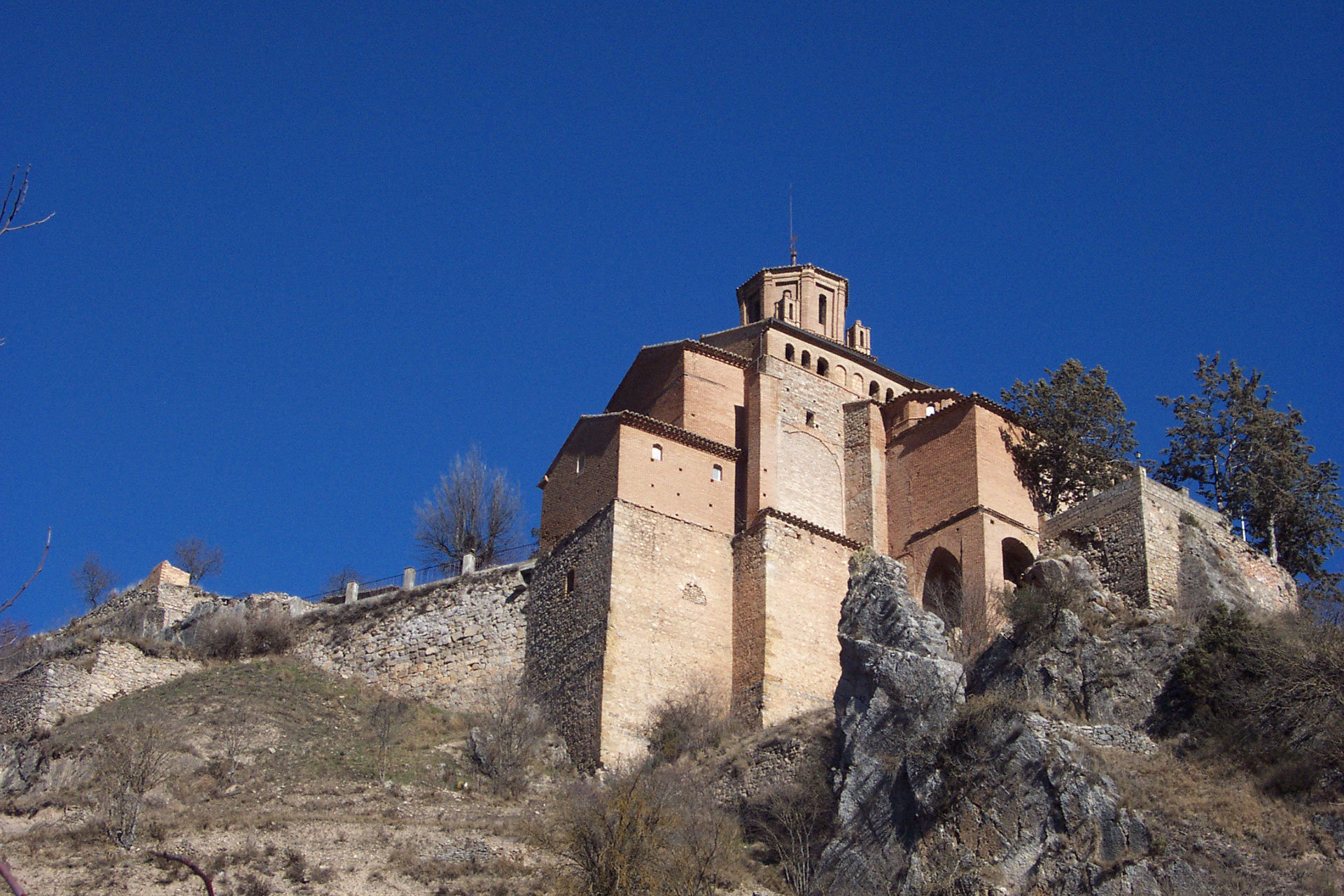
Secrets of the Pre-Pyrenees route

The Pre-Pyrenees charms everyone who visits it and on this route we will discover some of the secrets of the Aragonese Pre-Pyrenees. This mountainous strip is not only the prelude to the emblematic peaks of the Pyrenees, but an area of ​​great scenic and cultural value in itself that should not have any envy of the Pyrenees, because the beauty of its landscapes combines a great historical, cultural and artistic heritage.

Here, history has left its mark on medieval towns, Romanesque churches, walls, towers… and nature has done the rest by leaving behind canyons, gorges, rivers, creating varied landscapes for those who seek something different. In its expanse, natural areas stand out, such as the River Vero Cultural Park or the Natural Park of the Mountains and Canyons of Guara, and a small inclusion in the UNESCO World Geopark of Sobrarbe-Pirineos, which consists of natural surroundings of great beauty and variety harbouring history and art in equal measure with examples such as the rock art of the River Vero, declared a World Heritage Site by UNESCO.

Details of interest

  • Distance:
    242 km

    Estimated time without stops :5 h 46 min

    Recommended stages :3-4

Recommended stages

    1. Rasal – Ligüerre de Cinca – Abizanda
    2. Abizanda – Alquezar
    3. Alquezar – Huesca
    1. Huesca – Alquezar
    2. Alquezar – Abizanda
    3. Abizanda – Ligüerre de Cinca – Rasal

Map of route

Directions and points of interest

Congratulations, you are going to enjoy the slow driving route "Secrets of the Pre-Pyrenees route".
Follow the directions that we give you below and don't miss any of the details of these really marvellous places. Let's go!

Points of the route "Secrets of the Pre-Pyrenees route"

DEPARTURE

Rasal is a locality in the Hoya de Huesca region that belongs to the municipality of Las Peñas de Riglos in the Province of Huesca. It is 39km from the city of Huesca, and it is where the Secrets of the Pre-Pyrenees route begins. You can also access it from the Aragon Kings (Reyes de Aragón) route from Anzánigo or Triste.  

near_me DEPARTURE

Rasal is a locality in the Hoya de Huesca region that belongs to the municipality of Las Peñas de Riglos in the Province of Huesca. It is 39km from the city of Huesca, and it is where the Secrets of the Pre-Pyrenees route begins. You can also access it from the Aragon Kings (Reyes de Aragón) route from Anzánigo or Triste.  

Rasal local_hotel

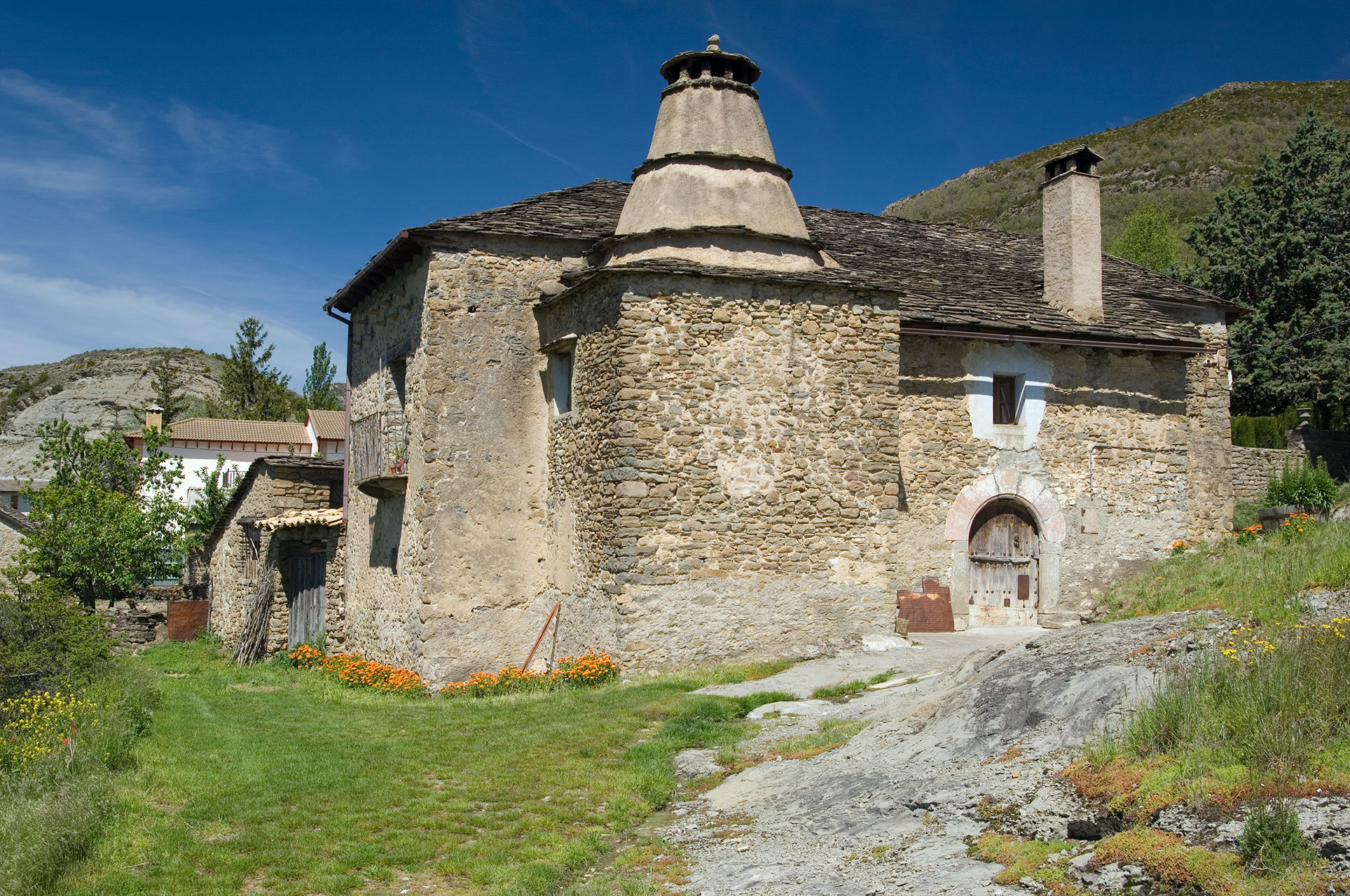
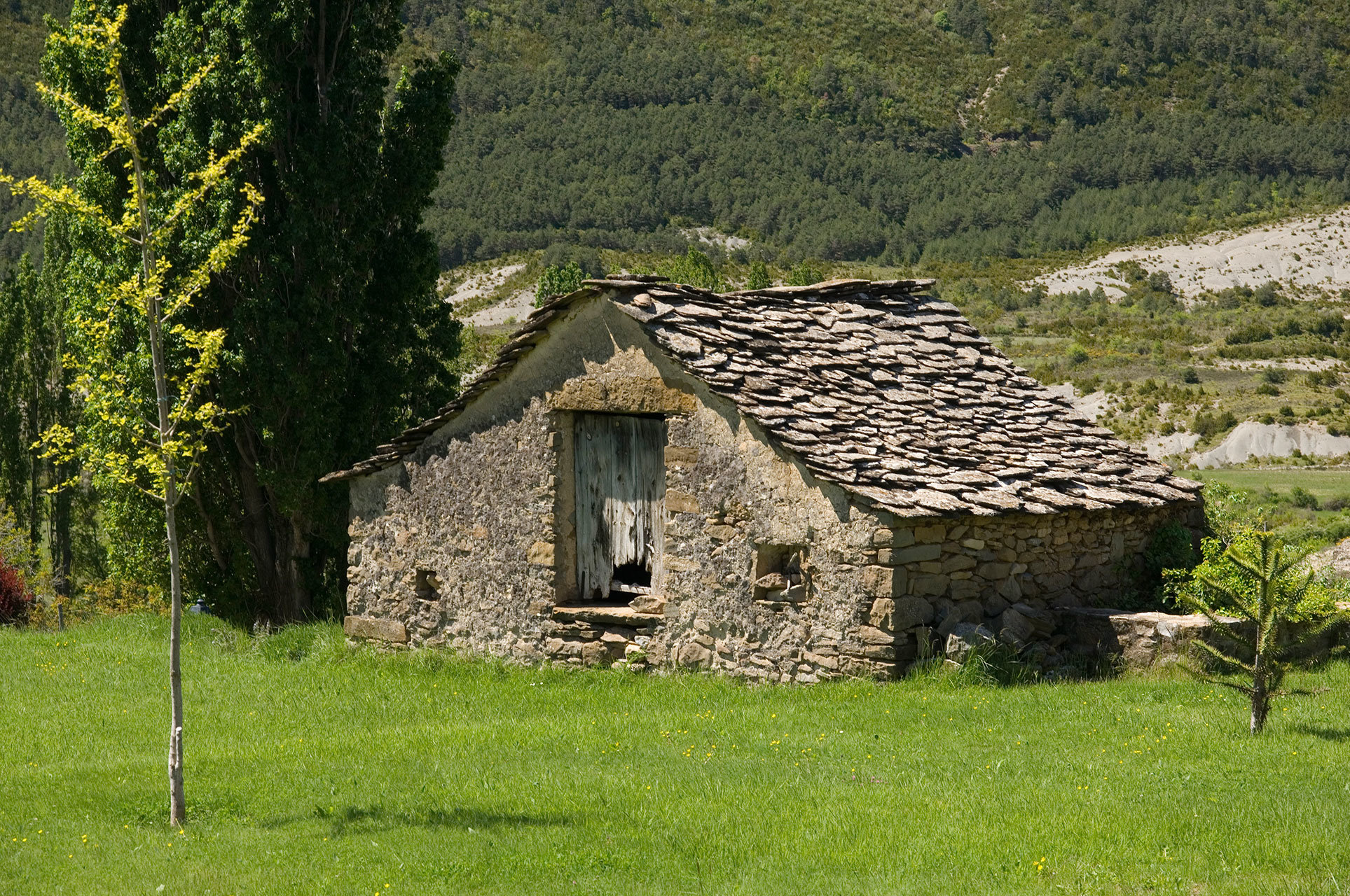
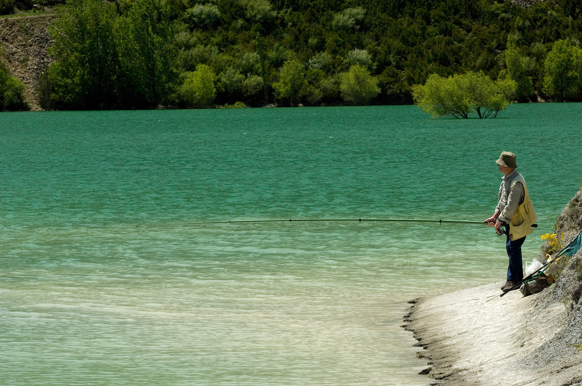
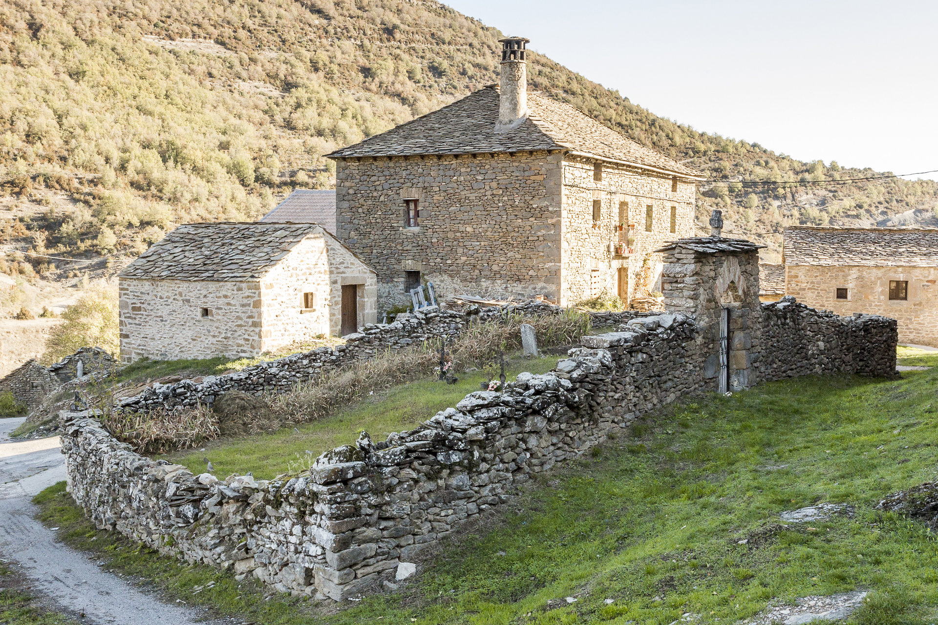
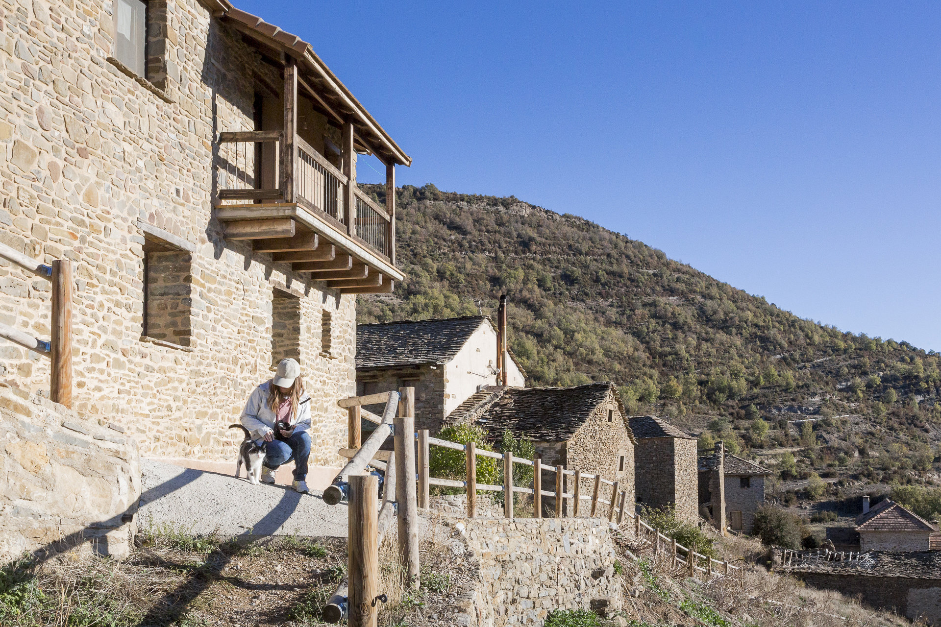
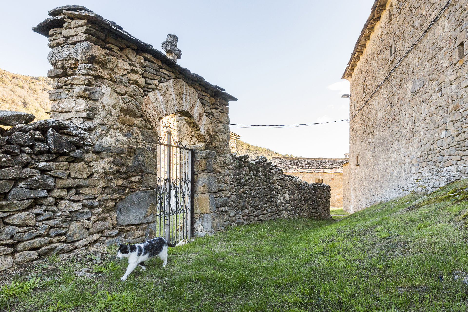
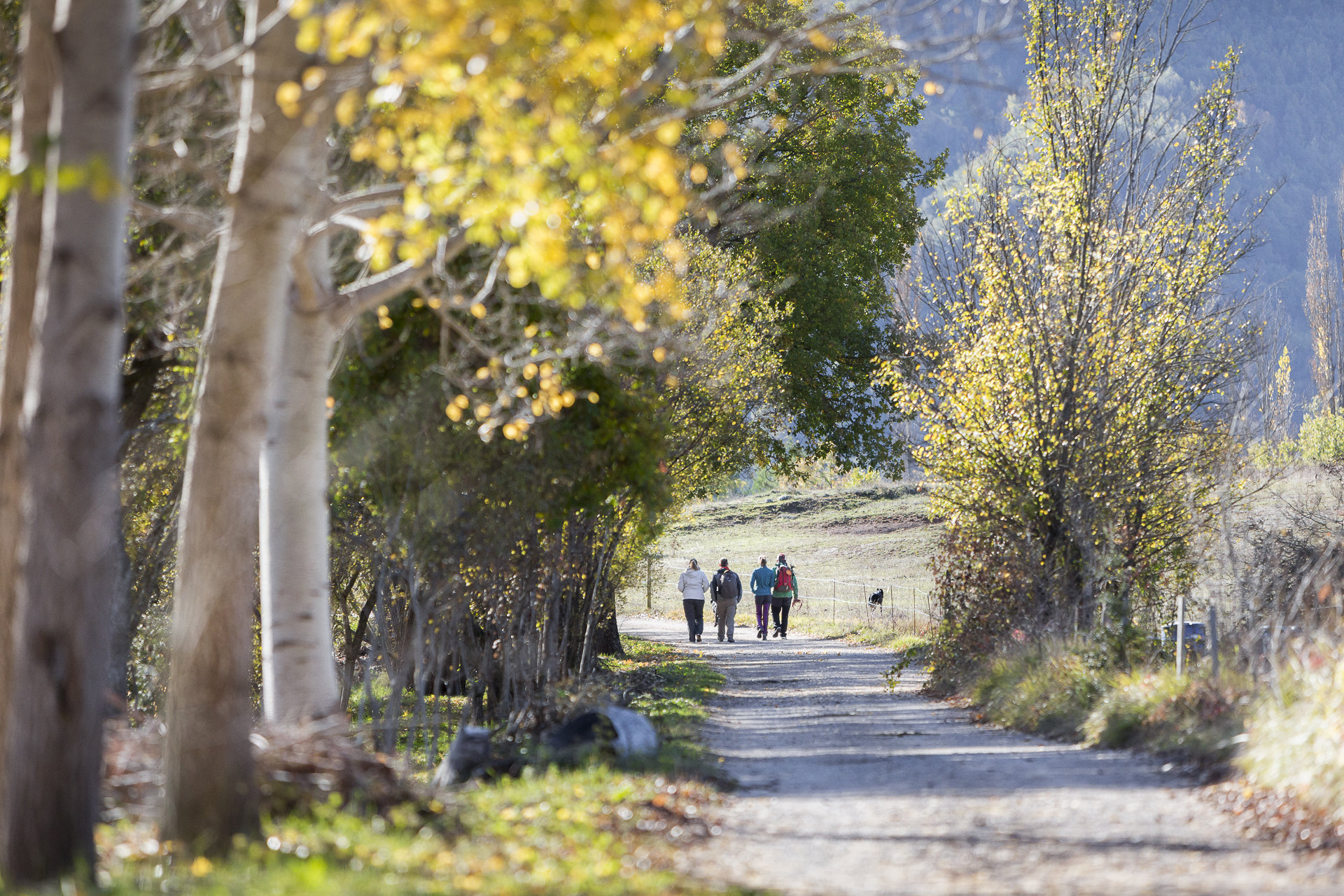
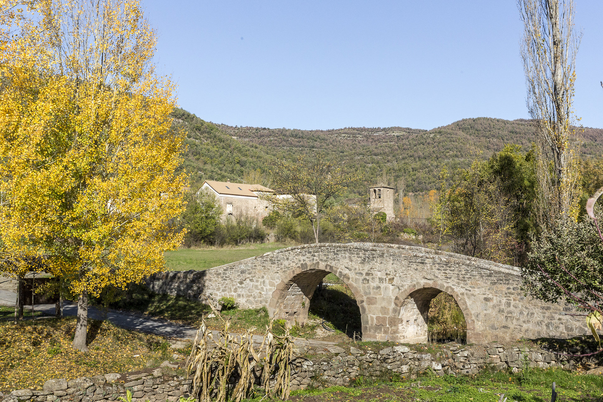
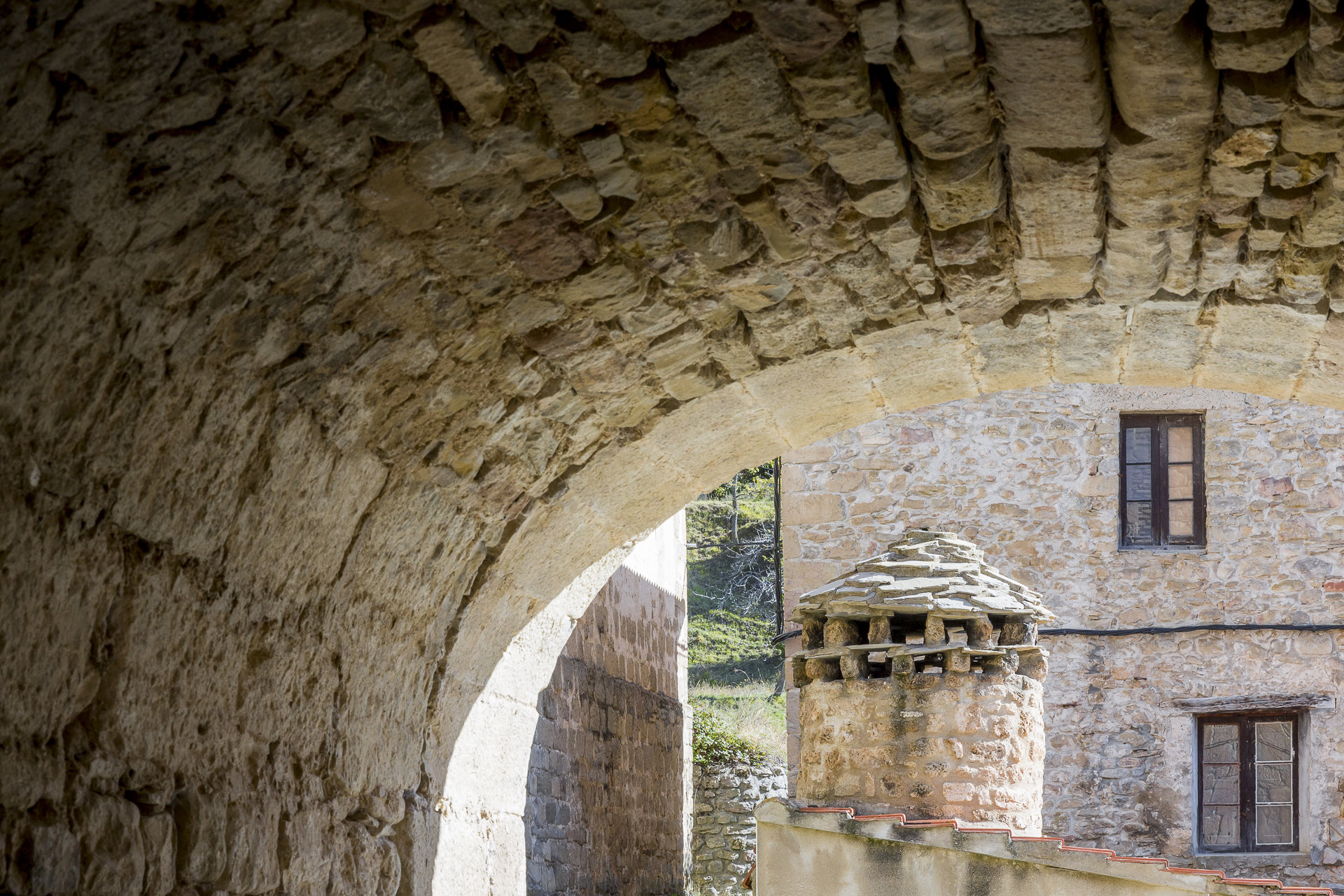
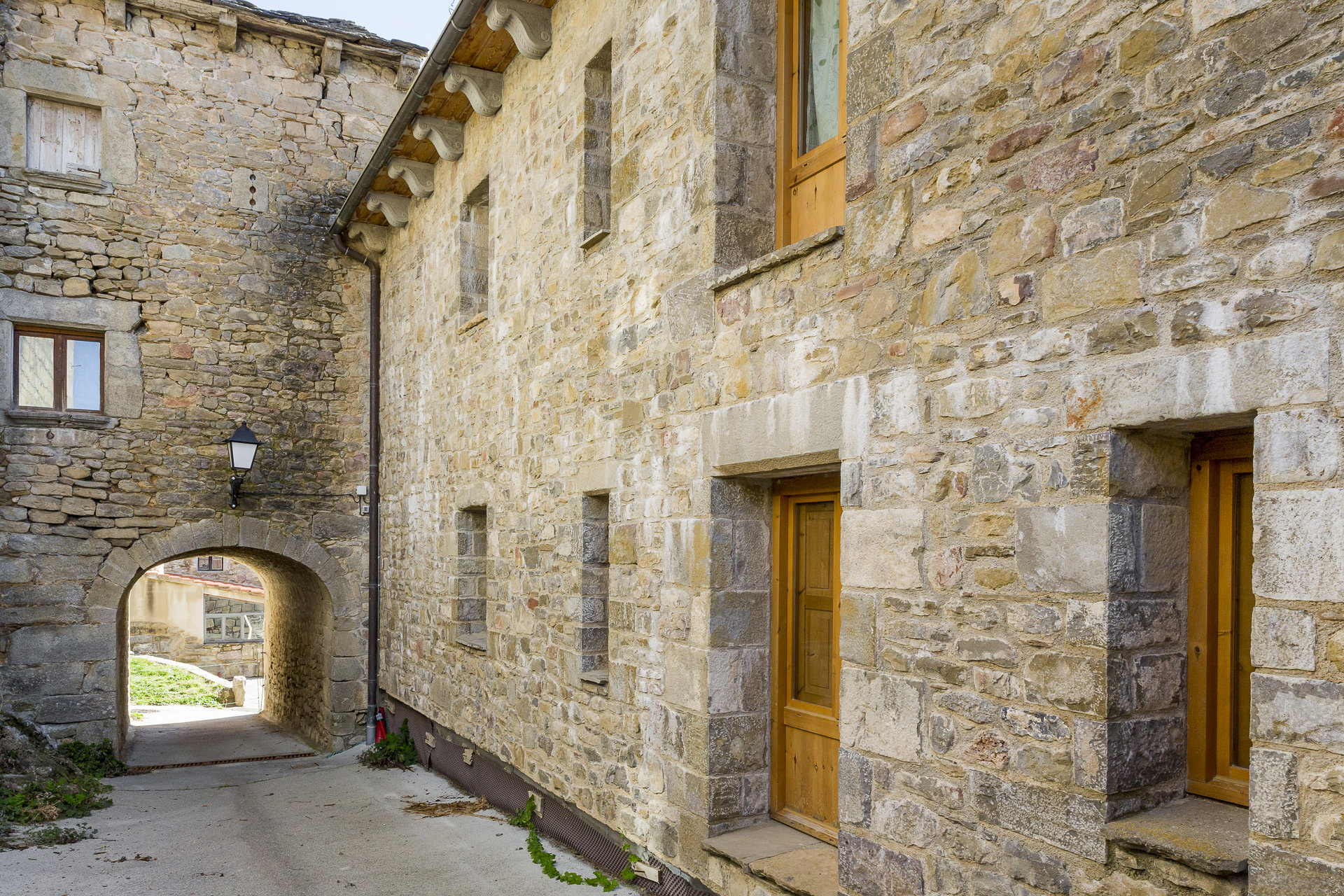
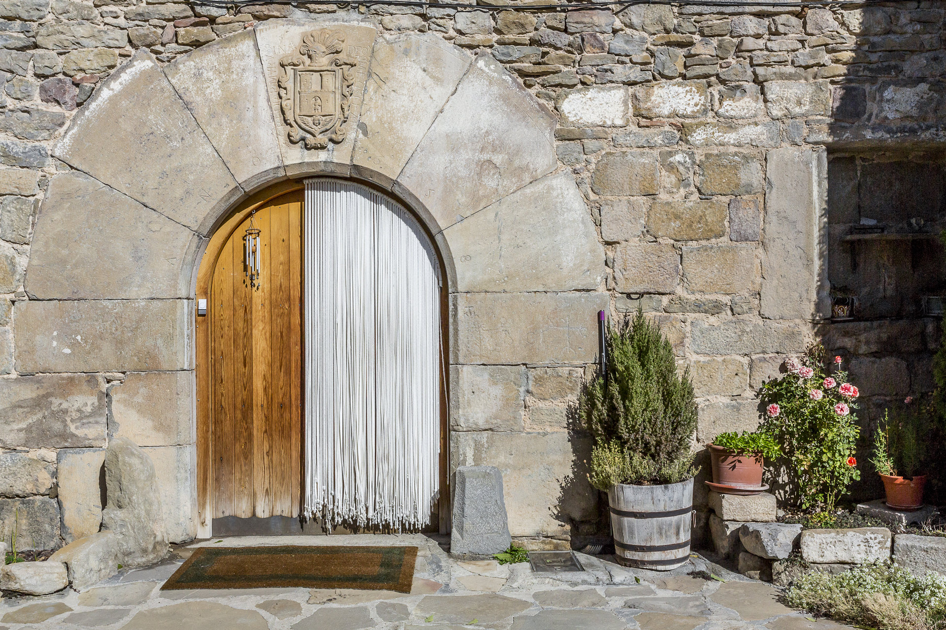
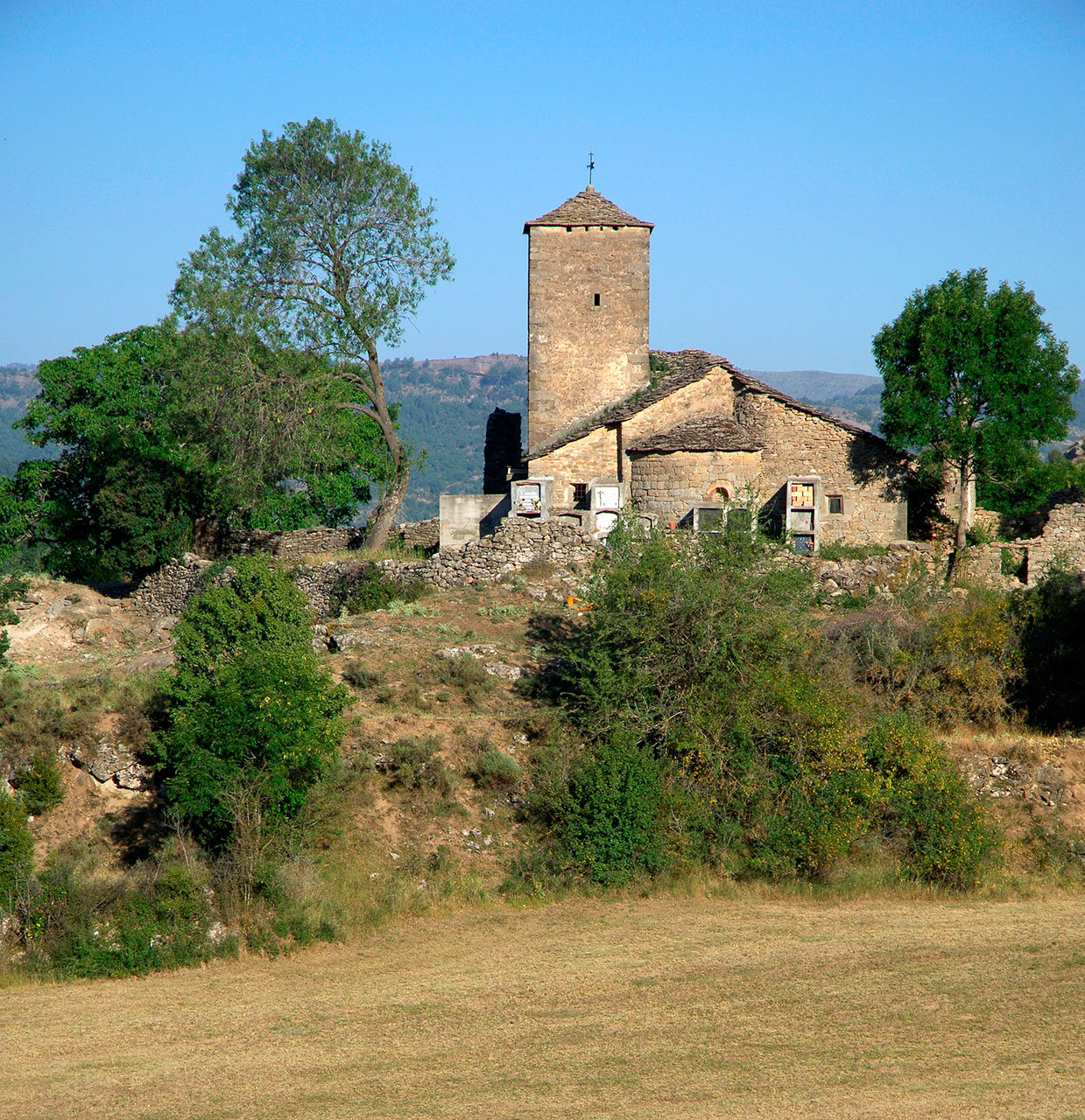
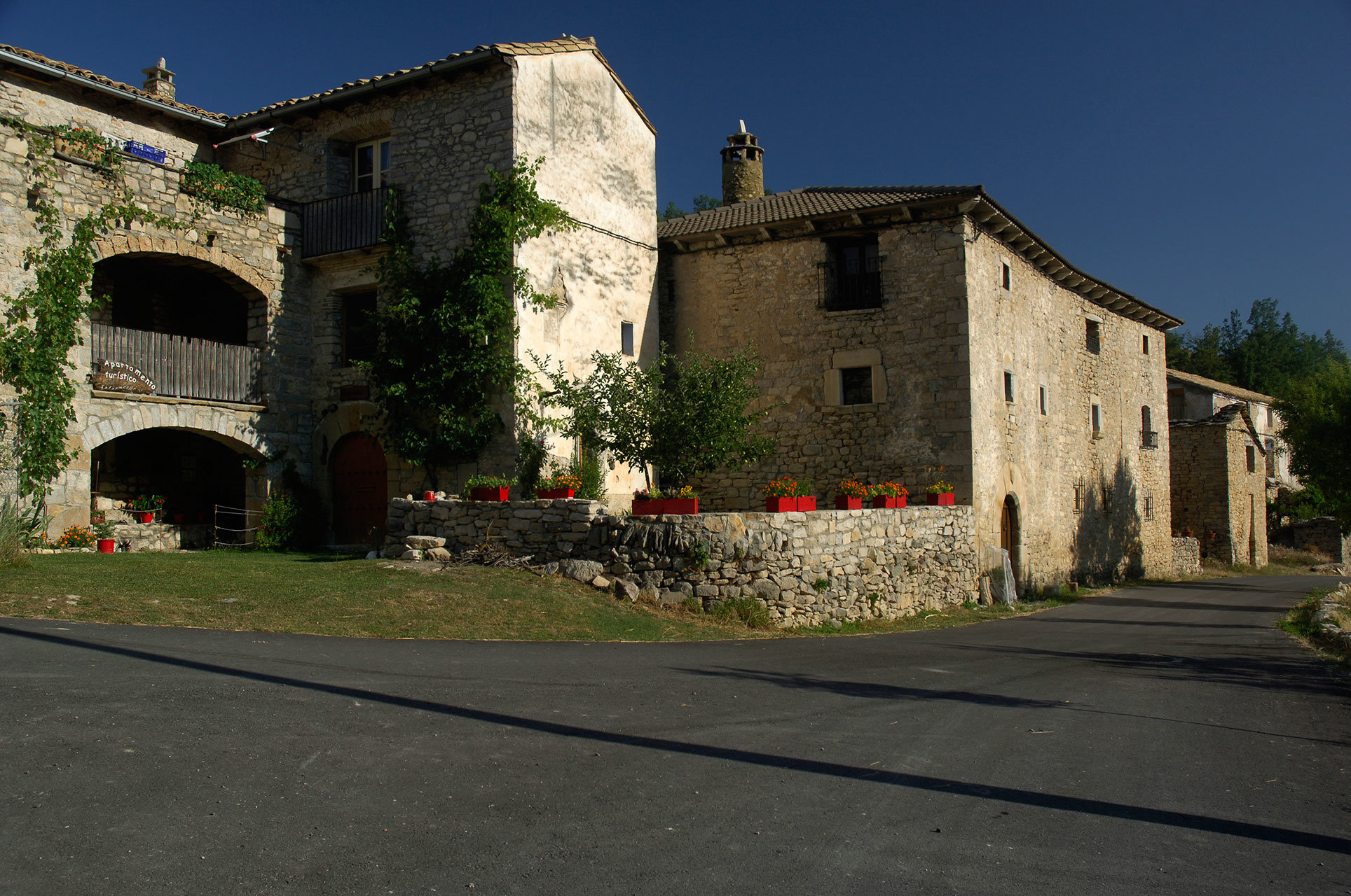
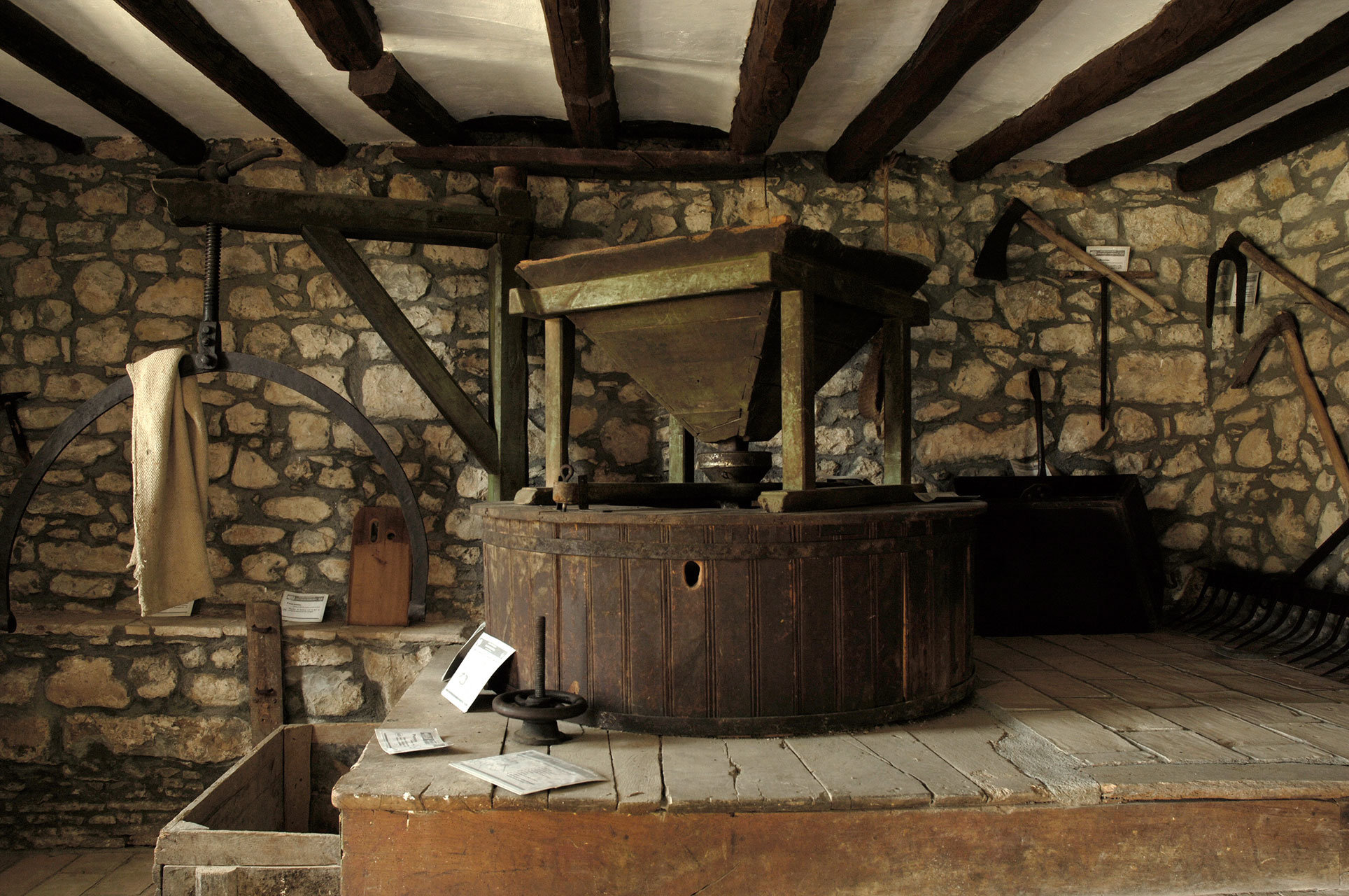
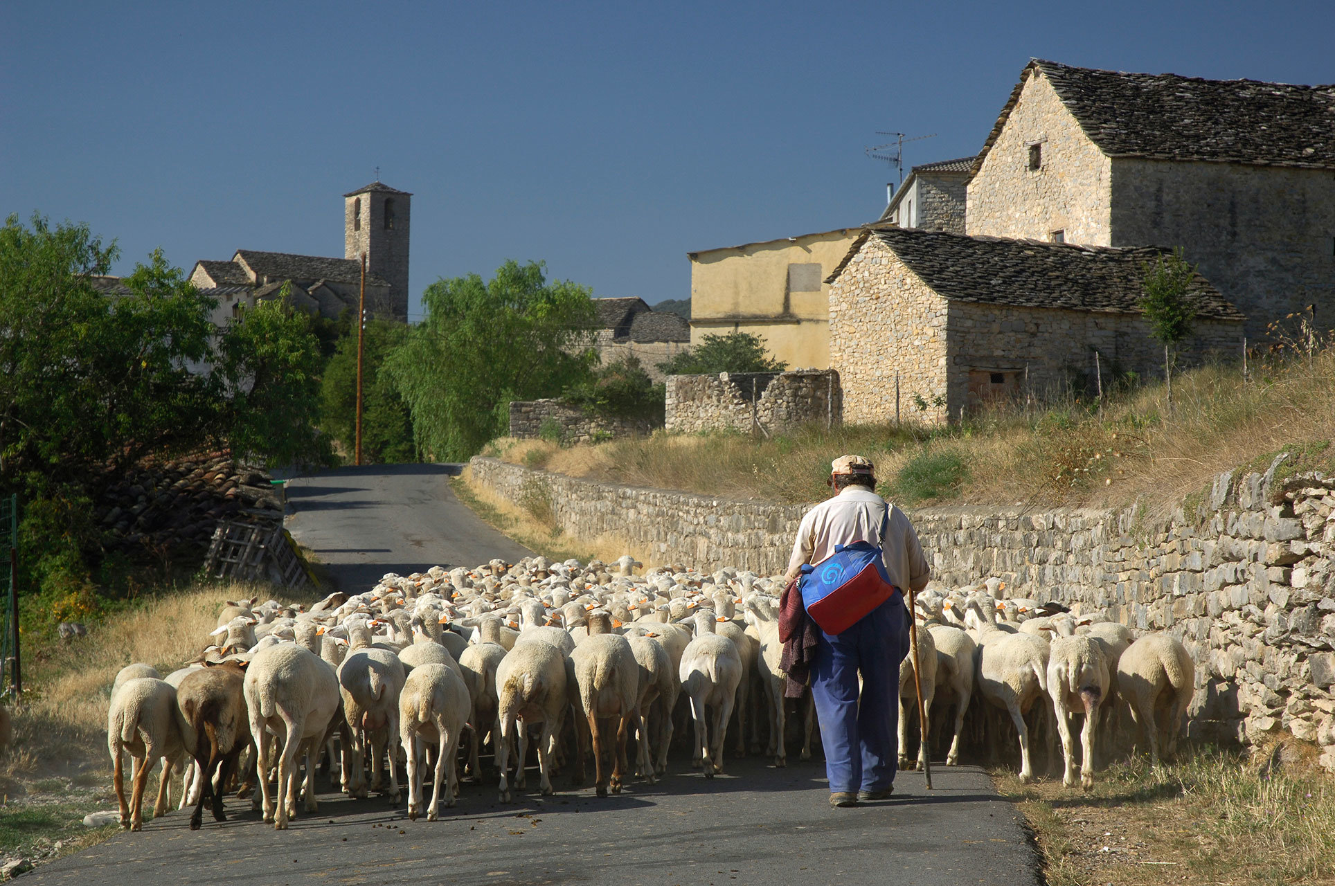
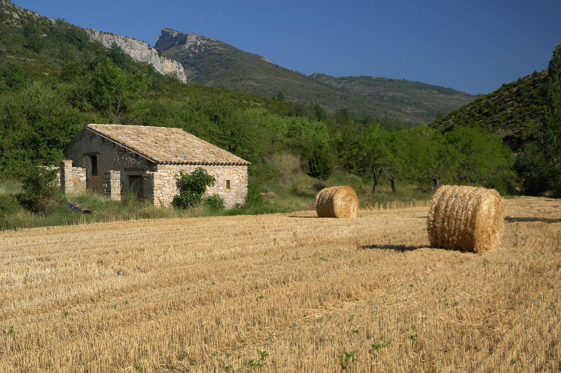
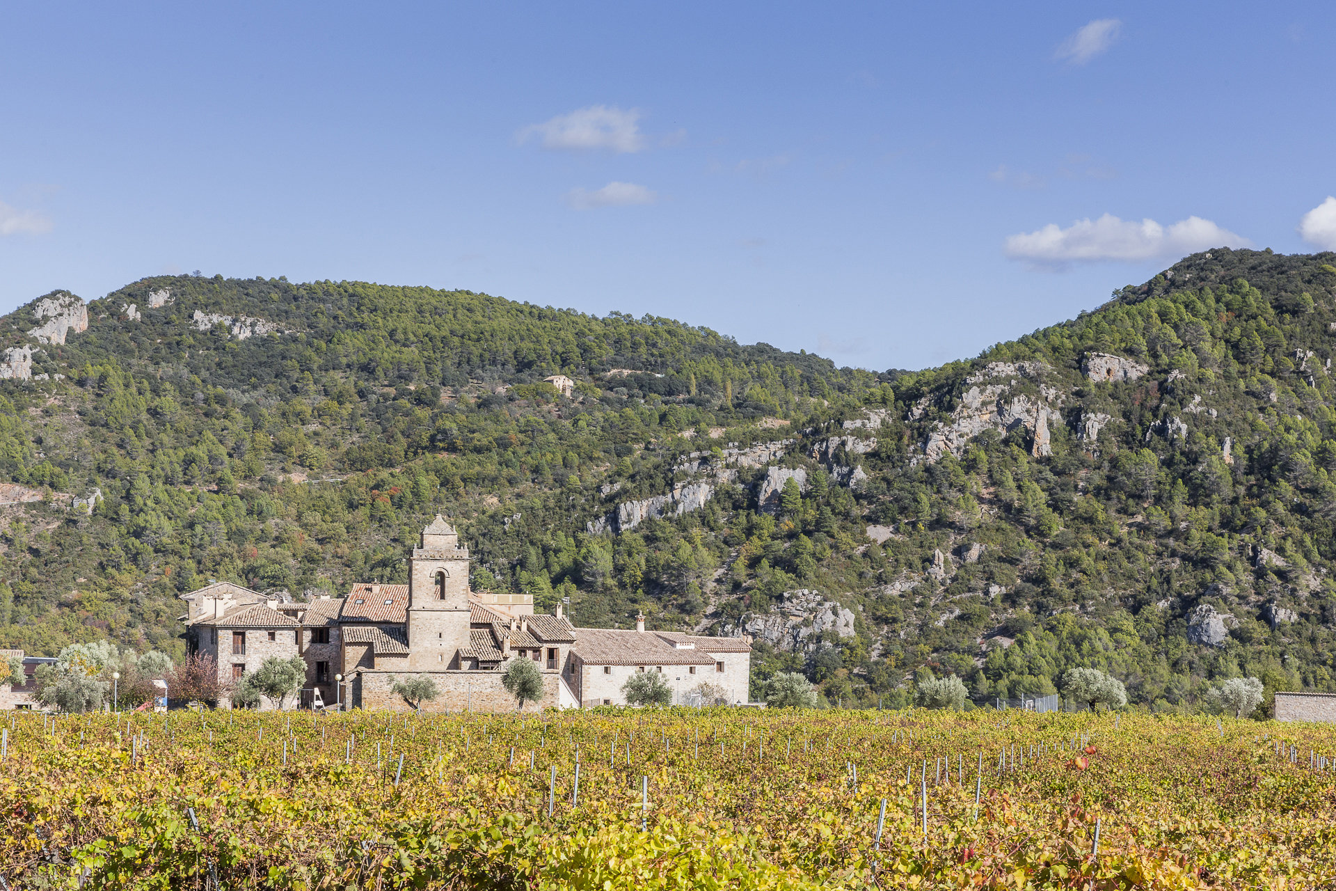
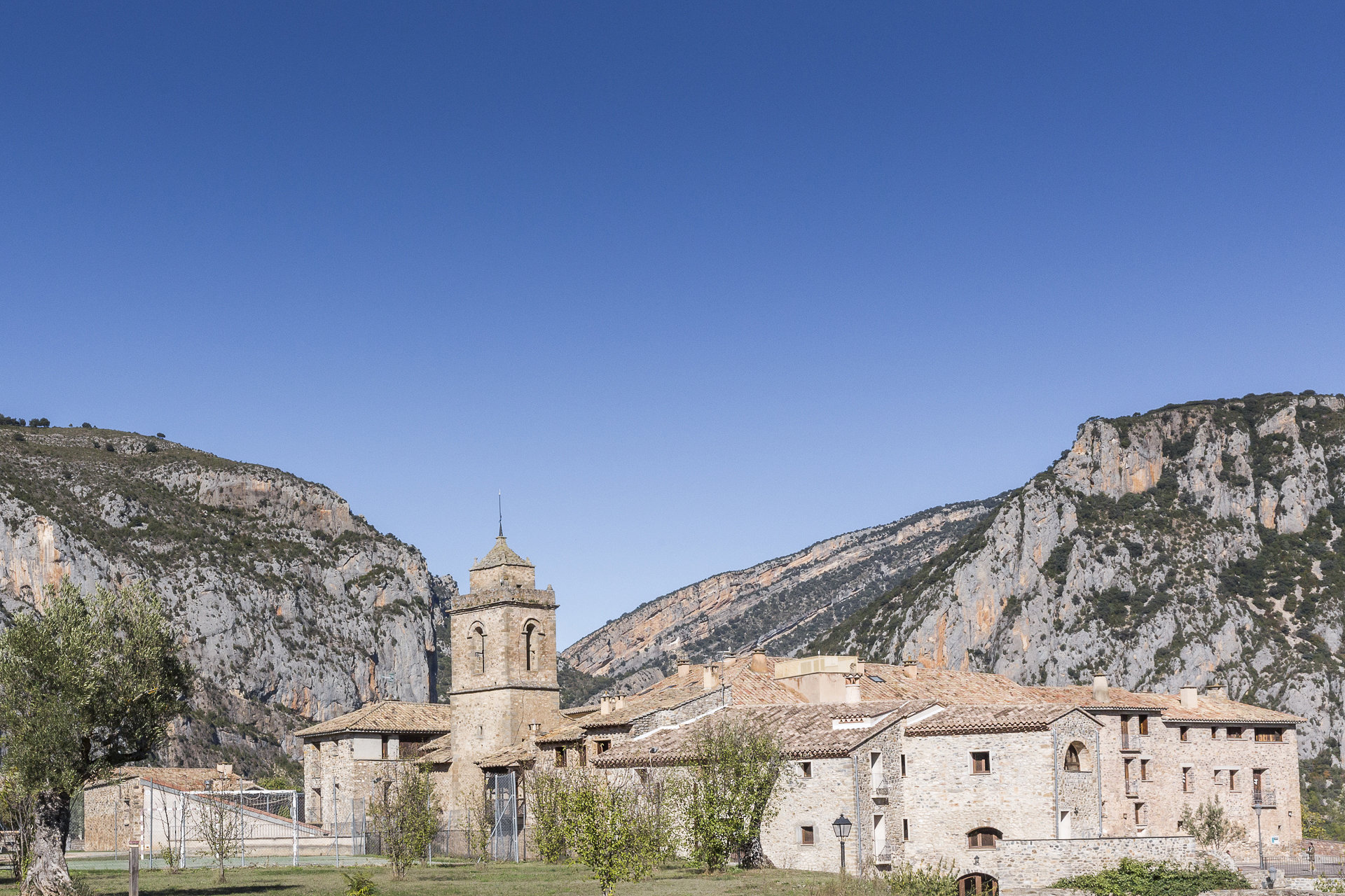
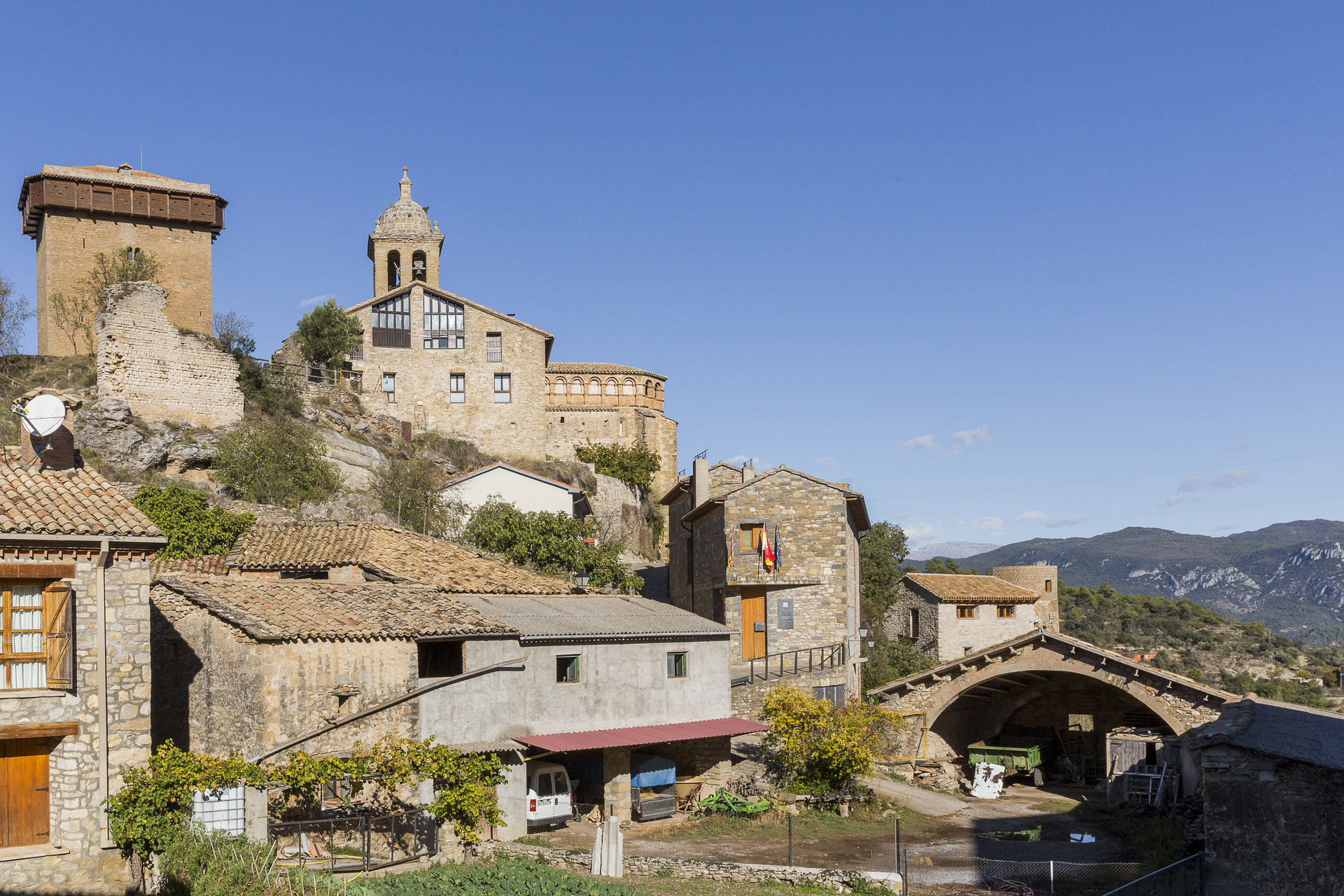
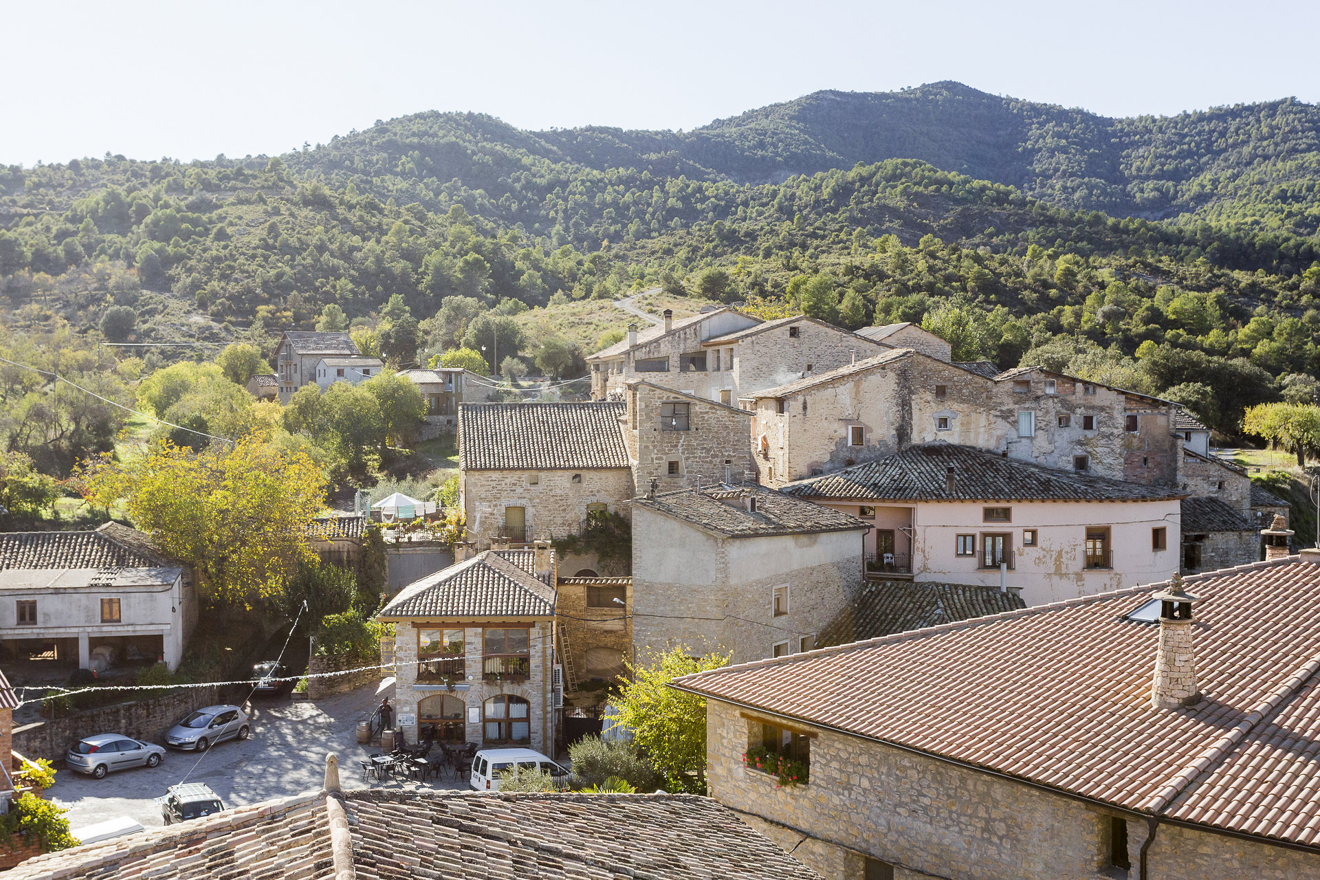
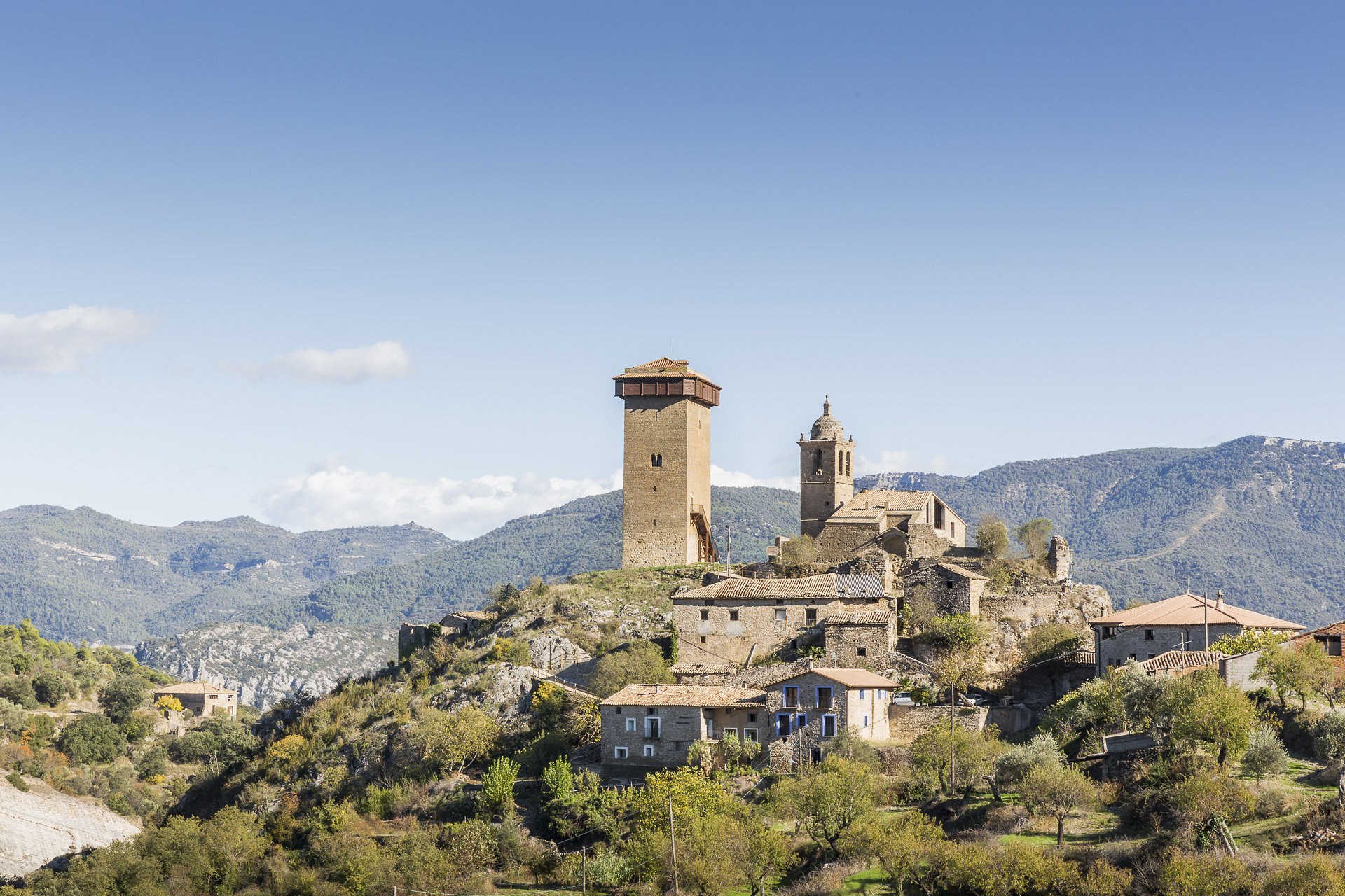
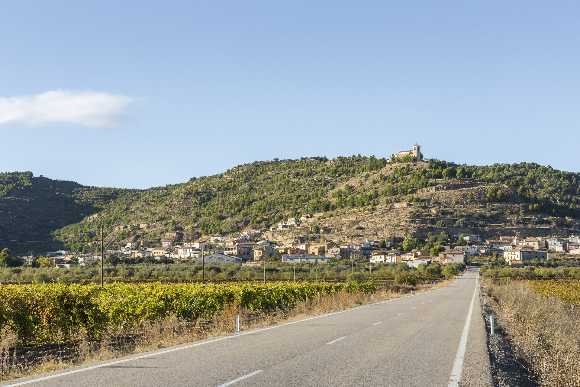
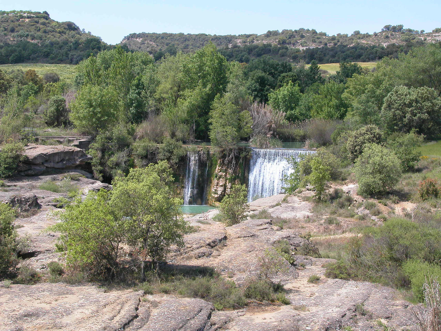
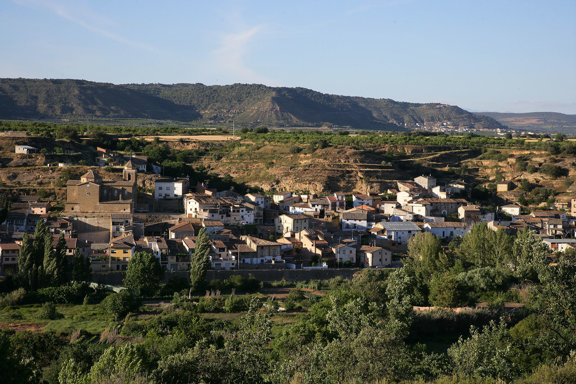
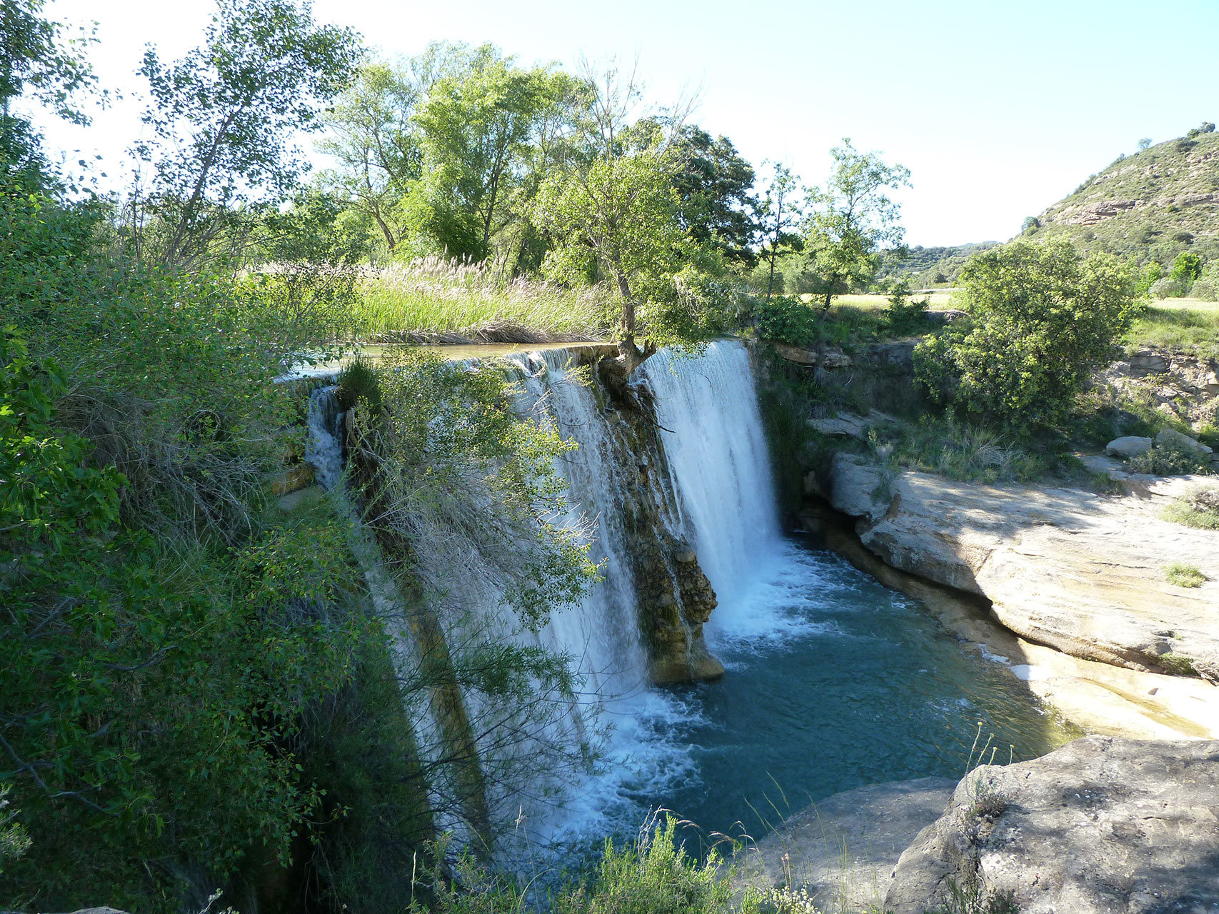
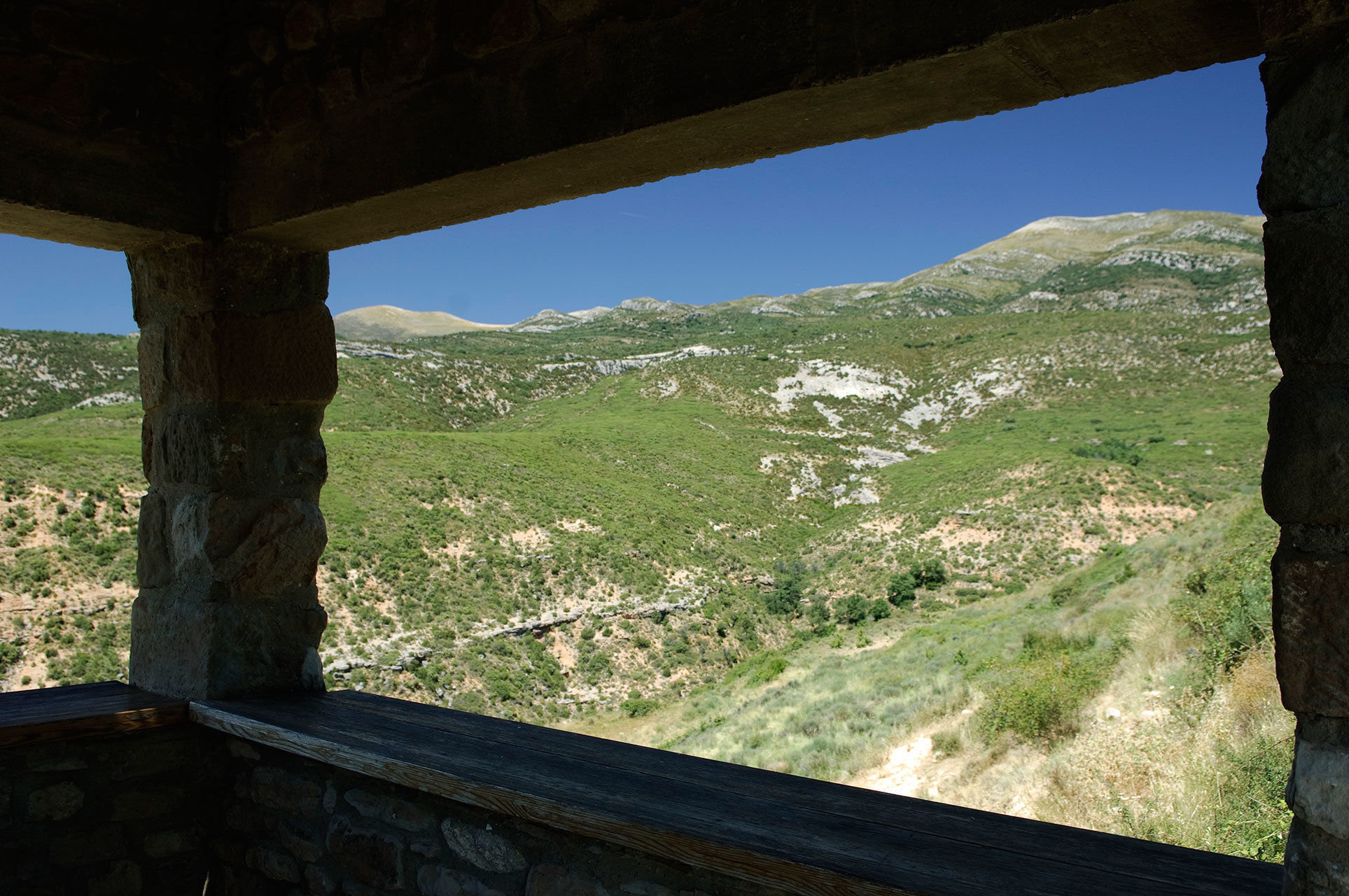
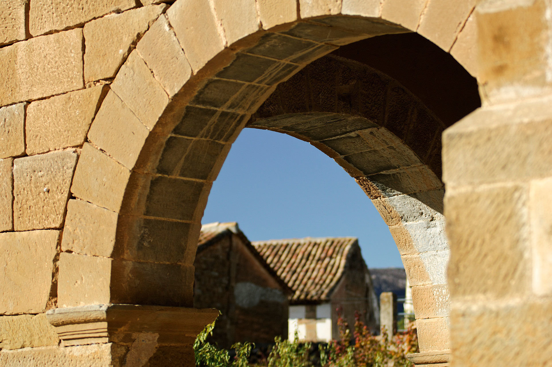
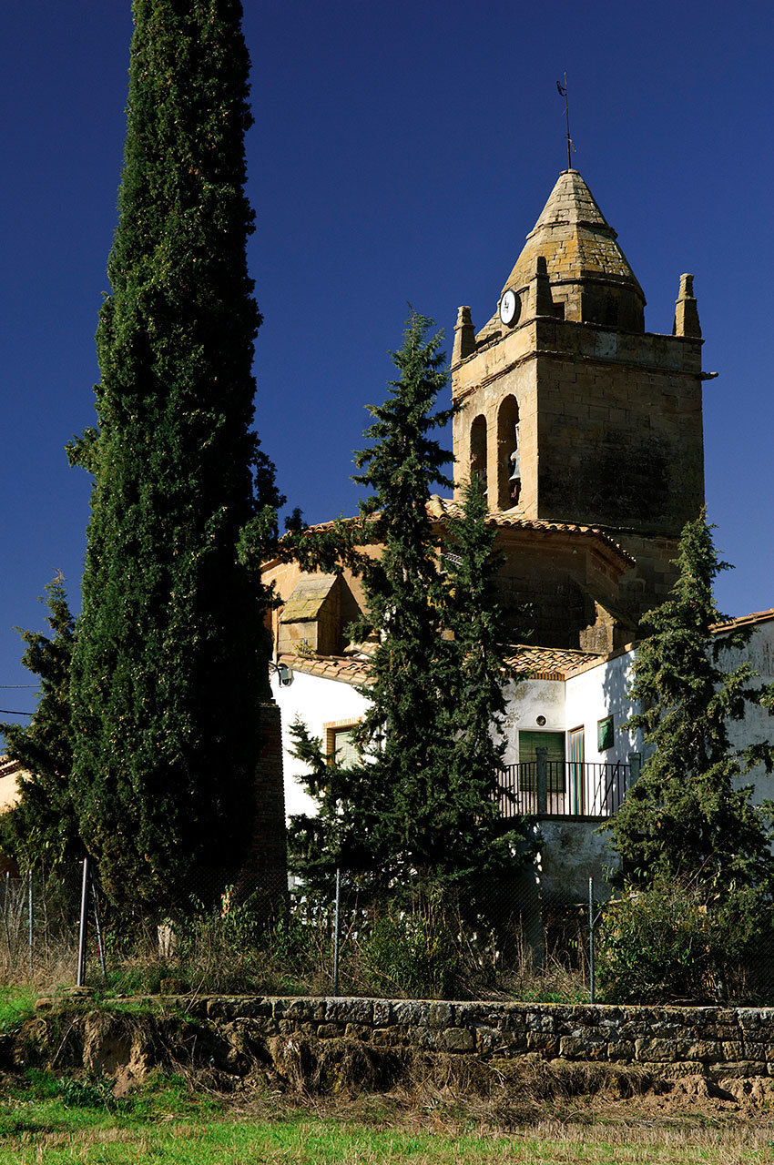
Rasal is a beautiful town located between the Sierras de Javierre, Loarre and Caballera in the beautiful Garona valley, through which the crystal clear waters of the river of the same name run. As for the buildings, there are still many typical houses with their exposed stone façades, as well as some monumental chimneys that are typical of the area, also made in stone.

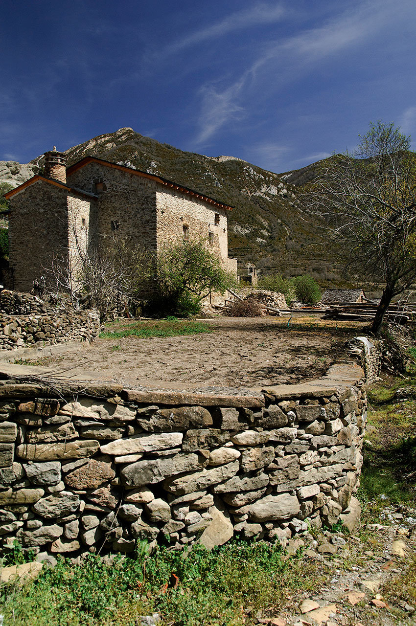
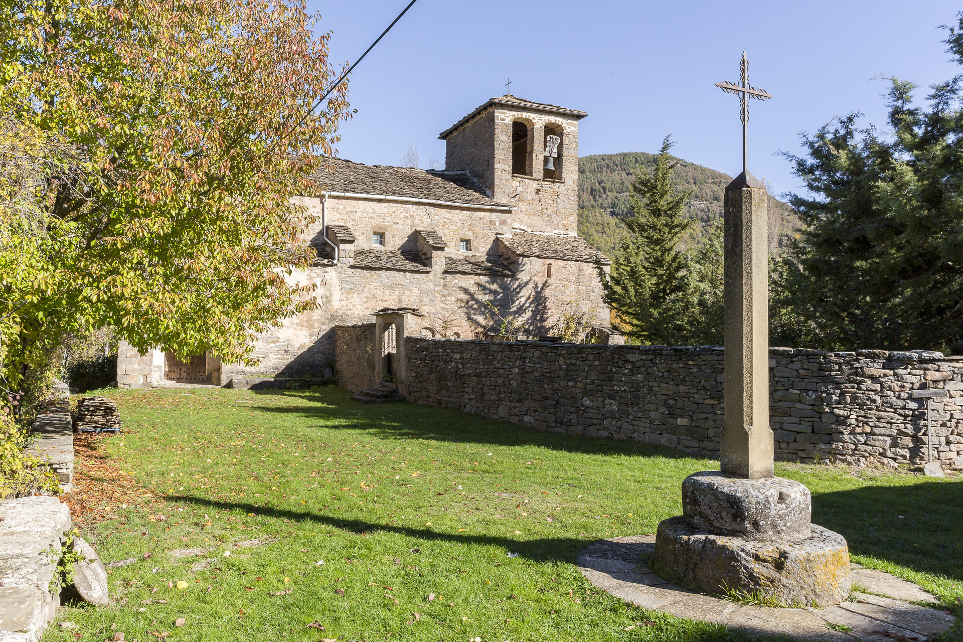
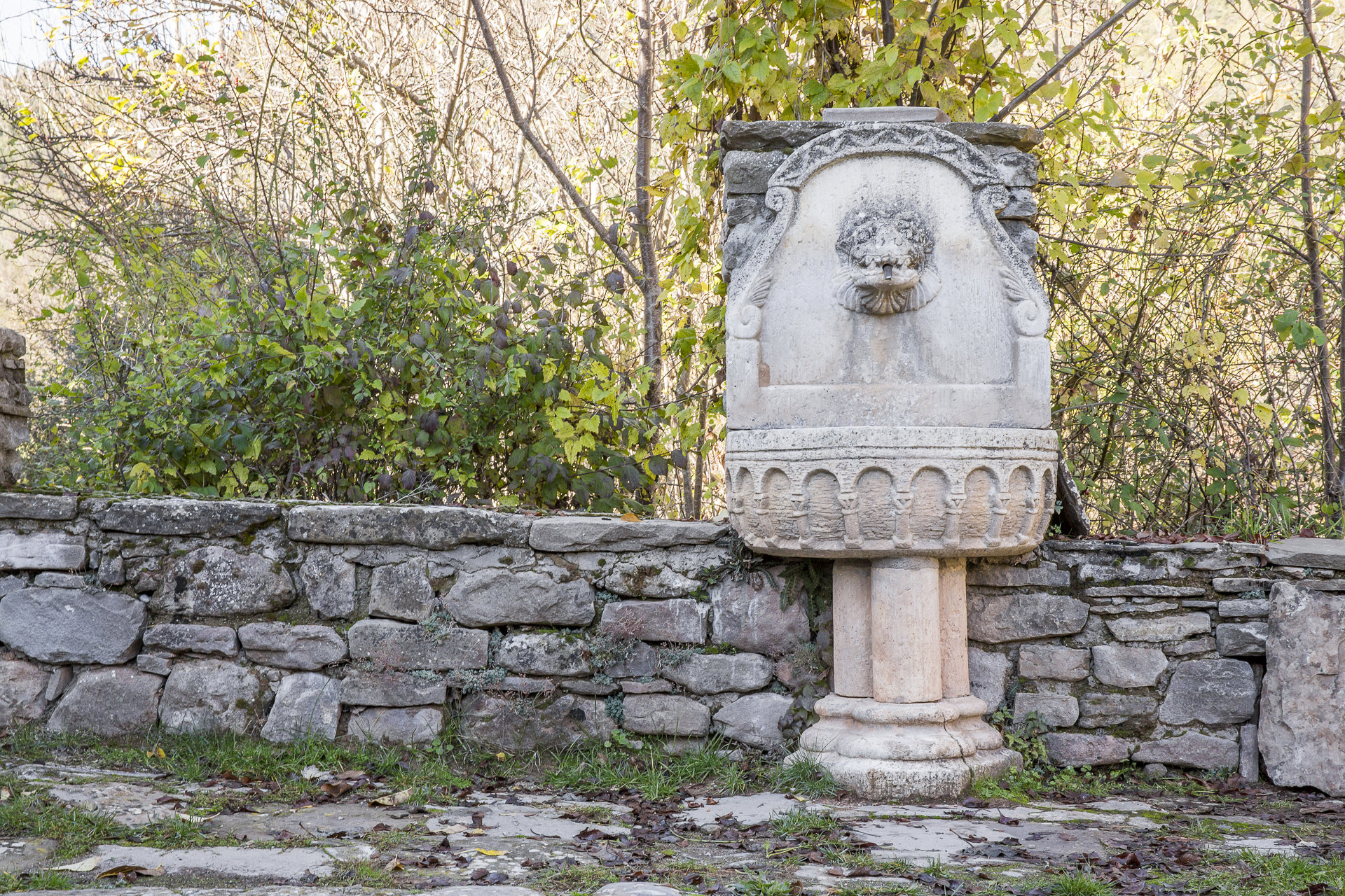
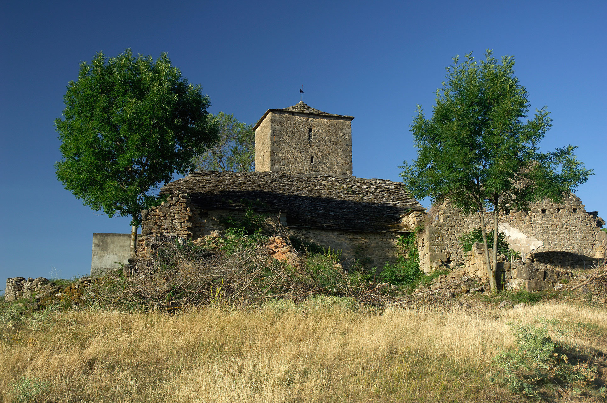
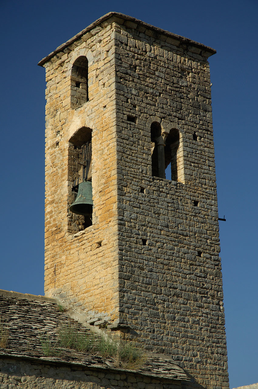
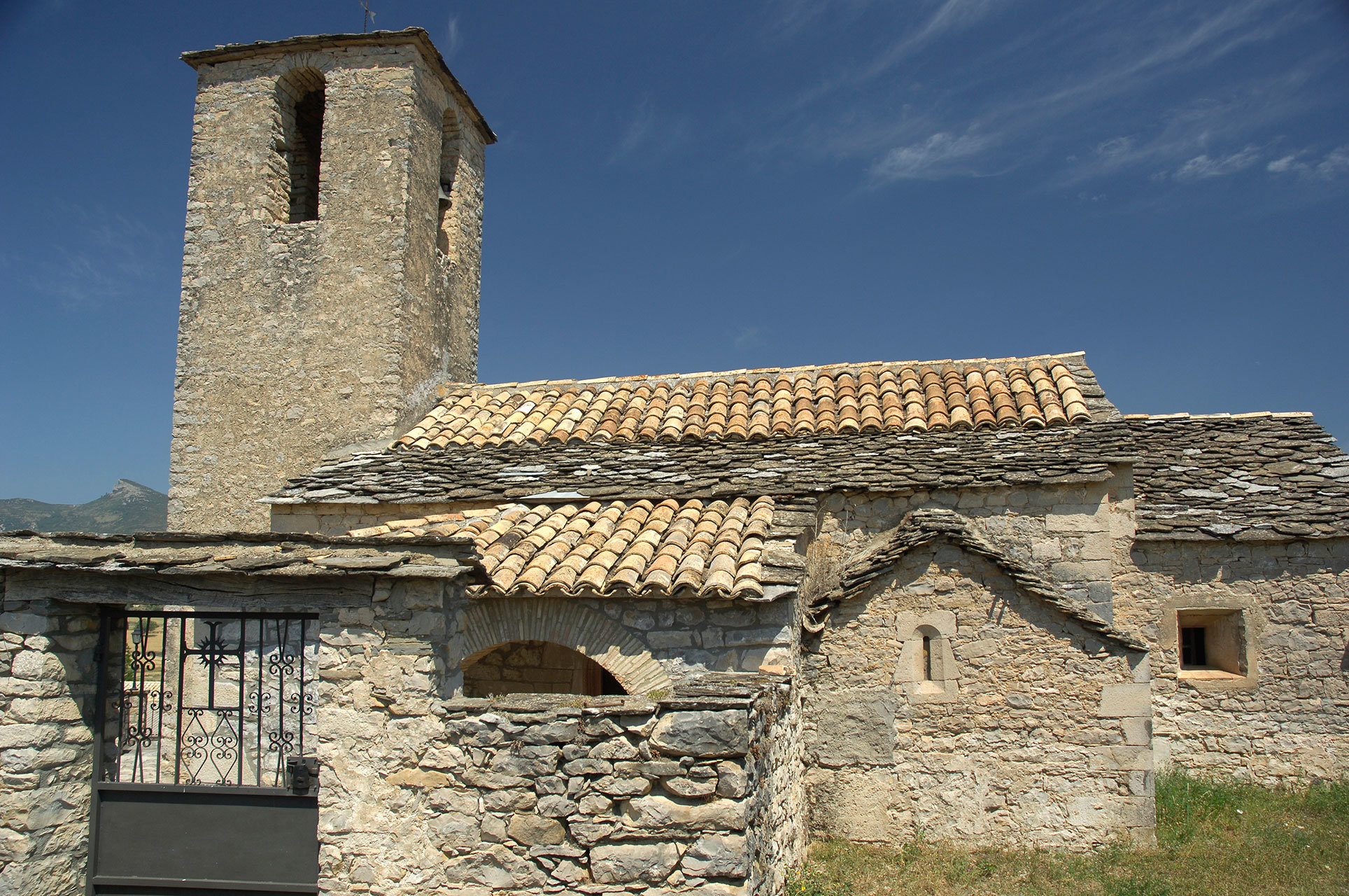
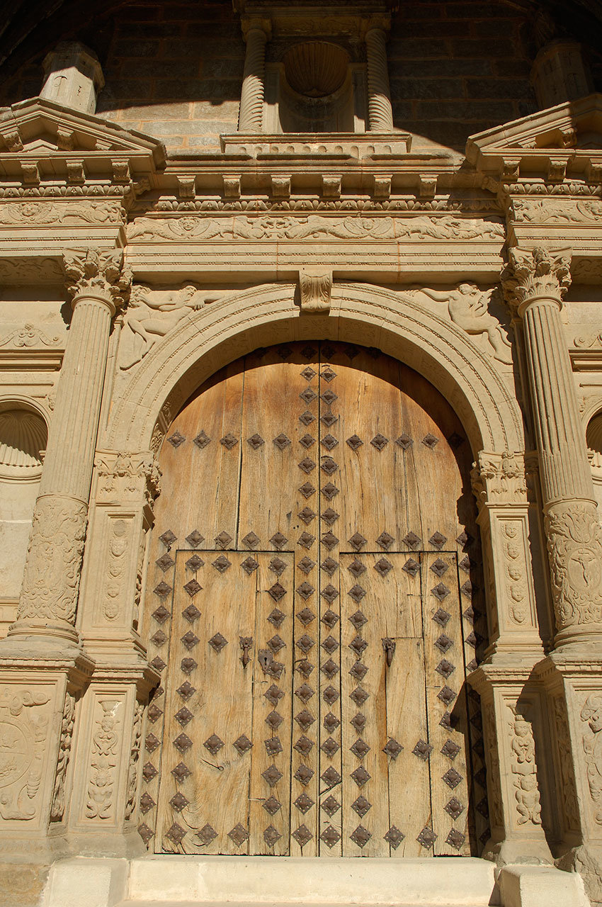
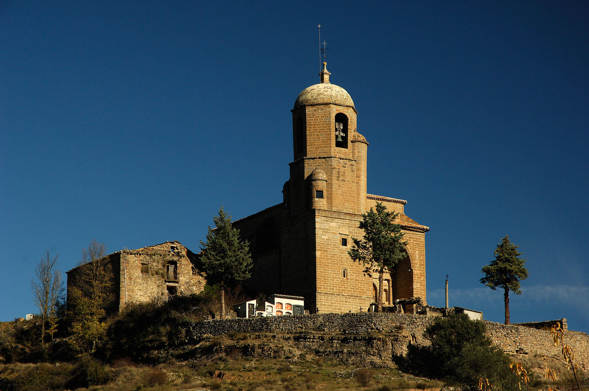
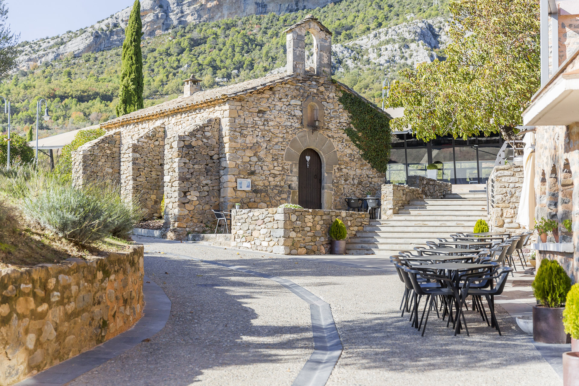
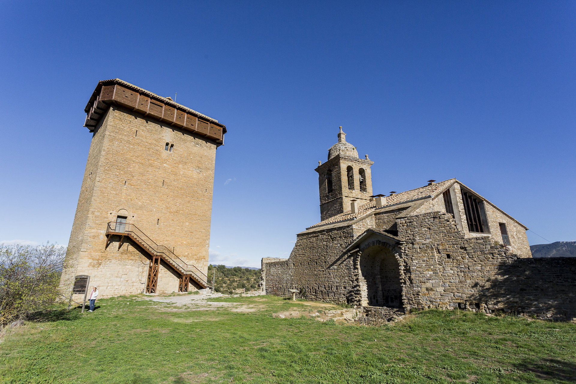
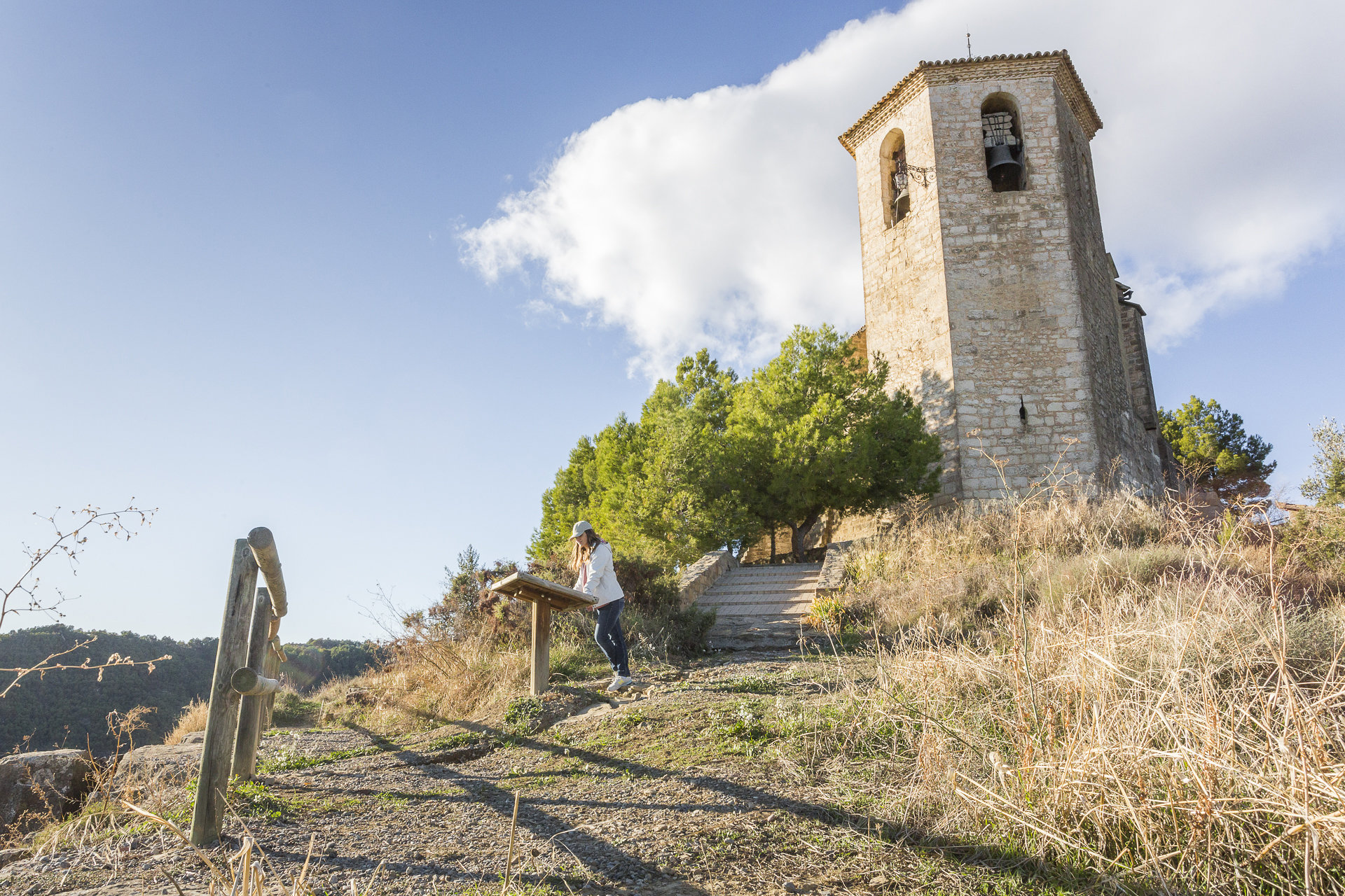
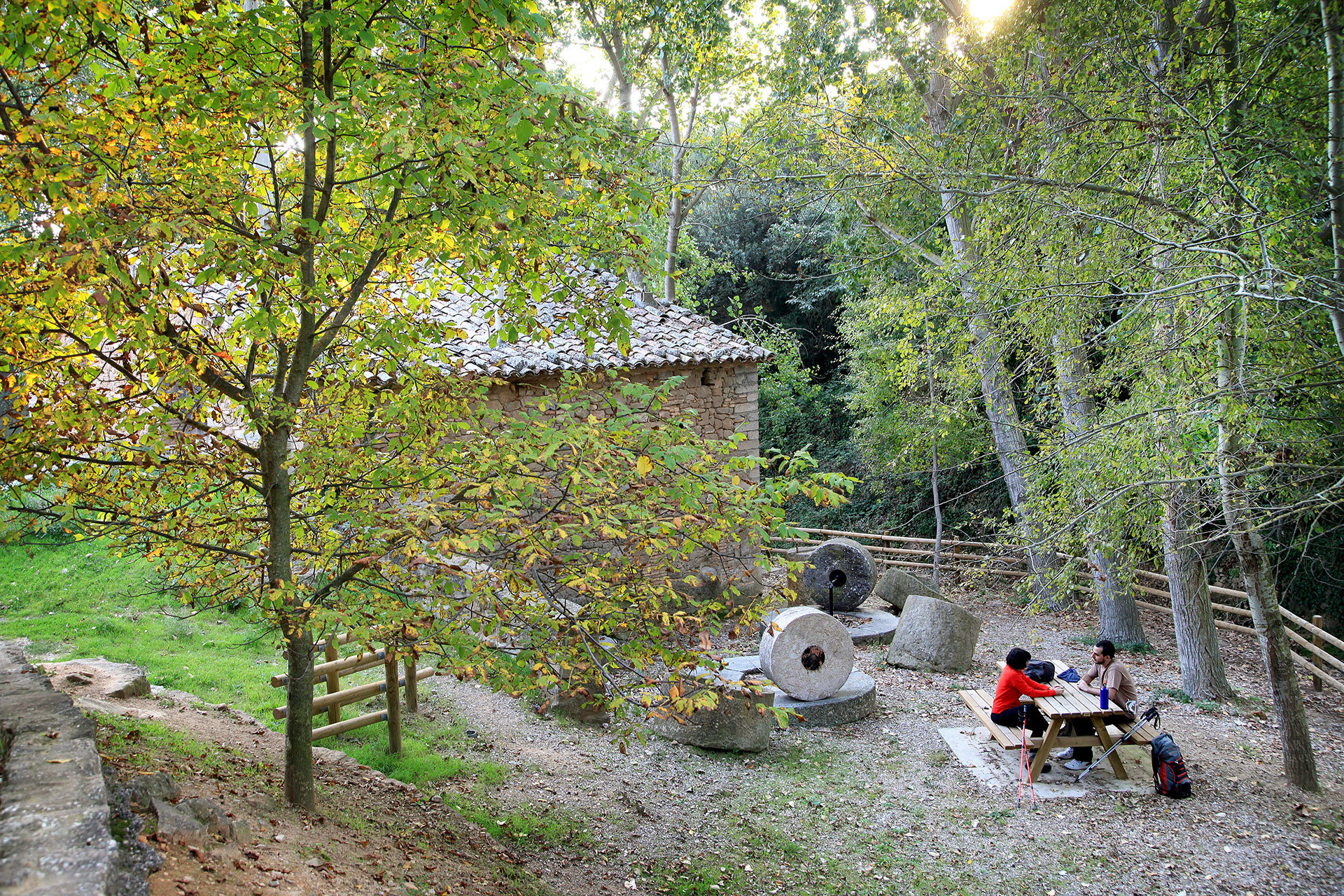
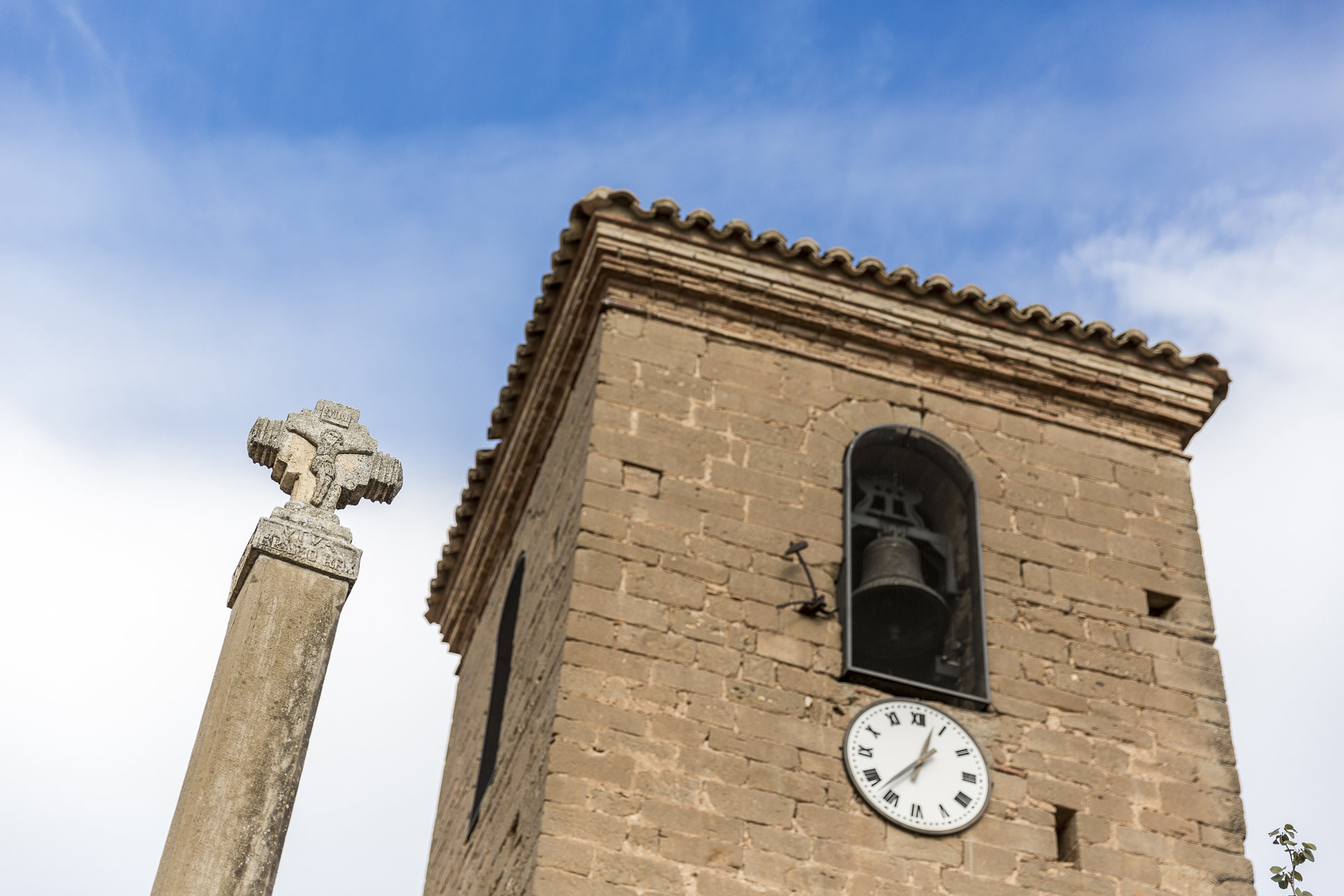
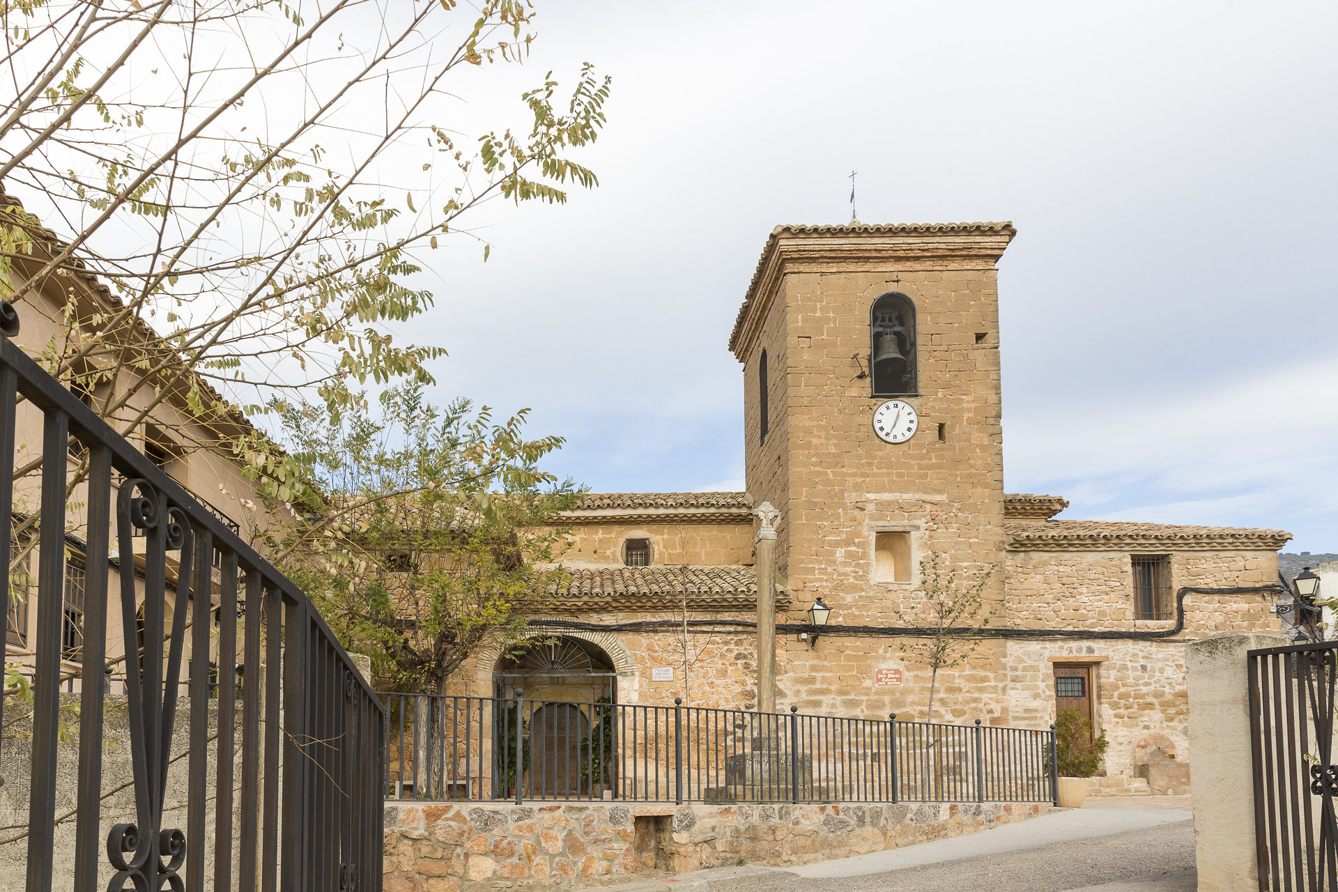
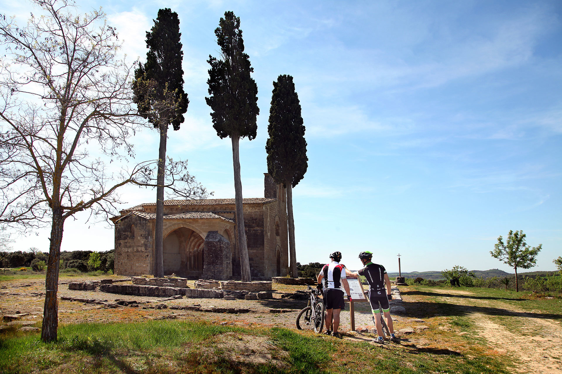
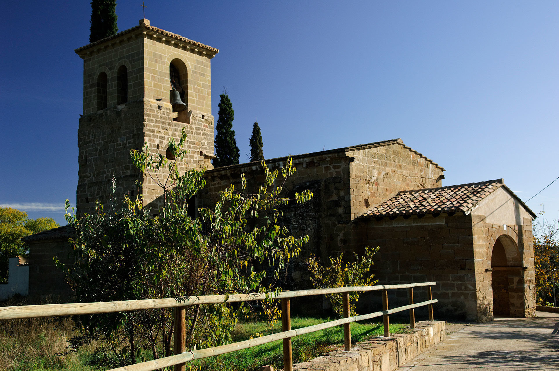
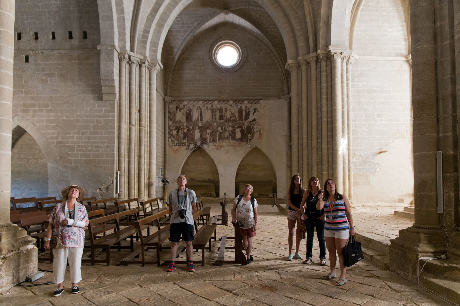
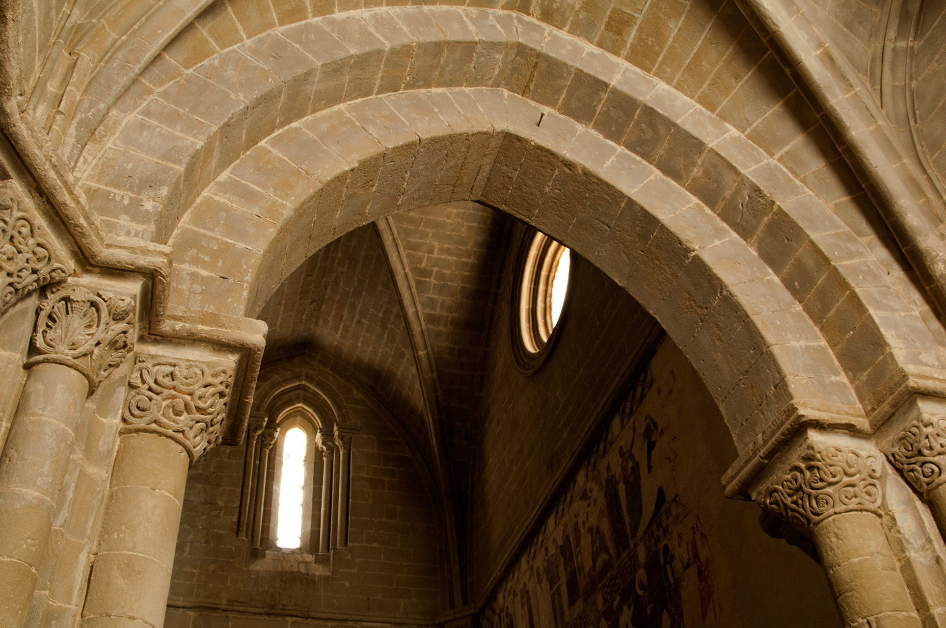
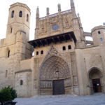
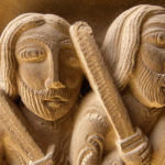
Its church of San Vicente Mártir dates back to the 18th century that houses the Romanesque carving of the Black Virgin from the 12th century. There is also another chapel, La Trinidad, located at the foot of the River Garona, with a pleasant and tranquil picnic area and a spring that supplies a beautiful fountain with four pipes with the head of a lion. The jewel of the place is the chapel of San Juan Bautista, located a few kilometres from the town. Although modern in its rectangular nave, it conserves an apse that shares the characteristics of Mozarabic Serrablés Romanesque – a set of churches located a little further north – with beaded archivolts or drums, blind arches and pilaster strips. This is the Romanesque example of the Gállego farthest from the nucleus of San Pedro de Lárrede, from where this unique artistic style emerged.

Point 1

In Rasal, you take the Calle Mayor towards the west for 90m, turn left and continue on the road until you reach Bentué de Rasal, 8.4km away.

near_me Point 1

In Rasal, you take the Calle Mayor towards the west for 90m, turn left and continue on the road until you reach Bentué de Rasal, 8.4km away.

Bentué de Rasal local_hotel

The small village of Bentué de Rasal is located in the Garona valley. The river creates a quiet and beautiful valley that starts from Arguis, at the foot of Mount Peiró and, after passing through the towns of Bentué and Rasal, flows into the River Gállego, just below Anzánigo. The valley is enclosed between Mount Peiró and Ralla Espada to the east, the southern foothills of the Sierra de Javierre to the north and the Sierras de Caballera and Loarre to the south. After these last ones the plain lands of La Sotonera extend, with the towns of the tourist route constituted by Bolea, Aniés and Loarre, famous for its extraordinary medieval castle.

Their houses of typical high mountain architecture, have large cylindrical chimneys and slab roofs. Its church, of Romanesque origin but greatly reformed in the 16th and 17th centuries, is dedicated to San Cristóbal. On the outskirts of the town, is the chapel of the Virgen de la Corona, from the 18th century. From the town you can do magnificent hiking excursions or mountain biking in complete tranquility.

Point 2

From Bentué de Rasal, continue on the HU-V-3001 until you reach the intersection with the old N240, where you continue on the right to reach Arguis. The distance is 9.1km.

near_me Point 2

From Bentué de Rasal, continue on the HU-V-3001 until you reach the intersection with the old N240, where you continue on the right to reach Arguis. The distance is 9.1km.

Arguís y Túnel de Manzanera local_hotelrestaurant

Nine kilometres from Bentué and to the east, at the beginning of the valley, is the pretty village of Arguis, at the foot of the Sierra de Gratal and with popular mountain architecture around the church of San Miguel. Near the town, the Arguis reservoir (originated in 1704, the oldest reservoir in Aragon), is a paradise for fishermen; next to it is the Interpretation Centre “Pascual Garrido”, a visit to which helps us to learn more about the forests and meadows of the Natural Park of the Sierra and Canyons of Guara that begins in the vicinity.

Returning to the village, if you take the old road to the height of Monrepós N-240, you will arrive at the south entrance of the Manzanera Tunnel, from where you can start two highly recommended routes: the ascent to the Sierra de Bonés by a long dirt track that allows you to enter a beautiful natural landscape with green meadows and striking fields, and access to the valleys of Belsué and Nocito. The first of these two places is reached by a small paved road with a steep descent and until the second, by a paved path that goes into the Guara Park on its northern slope, the most unknown and isolated park.

Point 3

To reach Belsúe and the Manzanera Tunnel, return to the old N240 going northwest and follow the signs to the Sierra de Guara (shortly after Arguis, you leave the turning to the Garonne valley on your left). You arrive at the Manzanera Tunnel, which will be on your left. From there you continue towards Belsué and you enter an asphalt track with some sections in the area between Nocito and Lasaosa in poor condition. Trekkers usually walk, go by bike or have different vehicles, but check the state of the road and, if you do not feel safe, take the alternative by the national road, crossing the Monrepós tunnel and taking the road on your right towards Boltaña (before reaching Lanave at the end of the pass). This road takes you to Laguarta, where you can continue this fantastic route. The total distance from Arguis to Belsué is 8.1km.

near_me Point 3

To reach Belsúe and the Manzanera Tunnel, return to the old N240 going northwest and follow the signs to the Sierra de Guara (shortly after Arguis, you leave the turning to the Garonne valley on your left). You arrive at the Manzanera Tunnel, which will be on your left. From there you continue towards Belsué and you enter an asphalt track with some sections in the area between Nocito and Lasaosa in poor condition. Trekkers usually walk, go by bike or have different vehicles, but check the state of the road and, if you do not feel safe, take the alternative by the national road, crossing the Monrepós tunnel and taking the road on your right towards Boltaña (before reaching Lanave at the end of the pass). This road takes you to Laguarta, where you can continue this fantastic route. The total distance from Arguis to Belsué is 8.1km.

Belsué local_hotel

The valley of Belsué is formed by a gully of little width and long longitudinal development. Its outline runs parallel to the axis of the Sierras Exteriores, a natural passage that is between the Pico del Águila to the west and Cabezo de Guara to the east. Here, the double headwaters of the River Flumen descends through tortuous channels to merge into the reservoir of Santa María de Belsué, a volume that will be increased with the powerful upwellings of Cienfuéns.

With an urban composition that creates an authentic balance between the abrupt escarpments of the mountain range, Belsué belongs to the municipality of Nueno. This town, which reaches an altitude of almost 1,000 metres, is home to a temple of Spanish-Visigothic tradition, a true link lost between that historical moment and the one that represents the Lombard art, from which it takes the decoration of blind arches decorating its top flat part.

Point 4

From Belsué, you continue down the winding asphalt track for 8.1km. You go through a wide poplar grove, which is next to the Belsué reservoir.

near_me Point 4

From Belsué, you continue down the winding asphalt track for 8.1km. You go through a wide poplar grove, which is next to the Belsué reservoir.

Santa María de Belsué reservoir

A few metres from the poplar grove, next to the River Flumen (with a sculpture of “the trees bloom in Huesca”) is the Belsué Reservoir. From here you can take a circular walk around the Reservoir, under the isolated and rugged cliffs of Cienfuens.

It is a pleasant route, with very nice views that does not require great physical effort and on which we enjoy the surroundings of the Belsué valley.

On this route you can visit the Arctic Cave, the Dolmen de Belsué (Megalithic), have formidable views of the Roldán Waterfall and Pico del Águila from its east face, tunnels in the rock, high walls of limestone rock, typical of the Sierra de Guara, where vulture nests are located and can even be observed in mid-flight, along with some bearded vultures. A constant delight for every nature lover.

It is also worth visiting the surroundings of the nearby uninhabited villages of Santa María de Belsué (Romanesque church from 11th century) and Lúsera.

Point 5

Shortly after the reservoir, there is a road to the left, which rises to the unpopulated Lúsera.

near_me Point 5

Shortly after the reservoir, there is a road to the left, which rises to the unpopulated Lúsera.

Lúsera

Taking a track from the road that joins the towns of Belsué and Bara, you reach the uninhabited town of Lúsera. Dominating a rock over the valley and the Belsué Reservoir, and at an altitude of 1,035 metres, its layout and buildings recall the defensive nature of medieval towns.

In the interior of the town there are a couple of vaulted steps and among its buildings the church of San Miguel is a highlight. A construction of Baroque style, sat on the very edge of the abyss. Here we will also find an interesting well-fountain that was used during Muslim times and that is one of the few that remain in the region.

Point 6

From Lúsera, it is 16.2km to Nocito going east on the same road you came from.

near_me Point 6

From Lúsera, it is 16.2km to Nocito going east on the same road you came from.

Nocito local_hotelrestaurant

At the top of a valley of incomparable beauty and located on the northern slope of the Sierra de Guara, at the foot of the Tozal de Guara, Nocito is a town with the pure mountain flavour. The silence, the tranquility and the peace, are the qualities that characterise this charming town that is surrounded by beautiful landscapes of trees and peaks, where you will lose yourself and time will stand still.

The urban area of ​​this place is divided into two districts. One is the district of San Juan, which has three houses and the parish temple of San Juan from the 18th century. By means of a medieval bridge over the river course of Guatizalema, you reach the district of San Pedro, or Santa Marina, which has a chapel dedicated to this saint, built of popular construction on Romanesque remains.

From the town, in a simple walk along a pleasant path, you reach the Santuario de San Úrbez. Another “star” hiking excursion from Nocito, is the one that leads us to the wild and leafy Barranco de la Pillera ravine.

Point 7

Going north, this is 10.8km away, and for part of the journey you are parallel to the Guatizalema River.

near_me Point 7

Going north, this is 10.8km away, and for part of the journey you are parallel to the Guatizalema River.

Lasaosa local_hotel

Lasaosa is located in the valley of the Guarguera. An environment of serene beauty very appropriate for lovers of trails, cycling or enjoying a peaceful sunset. The town was abandoned more than fifty years ago, but it is currently in the process of being repopulated, as houses are being rebuilt and the infrastructure is being regenerated. It has a church in ruins and an old abbey, also demolished, dating back to the sixteenth century. Some unique buildings are maintained, such as the old smithy or the bread oven. This oven, located in the heart of the town, is a unique construction that has a hollow where the grain was stored, a small wood downspout where it is poured, a mill with its corresponding sieve, as well as a magnificent wood oven built in stone and vaulted in its interior part.

Nearby is the Dolmen de Lasaosa o Ibirque, also known as the caseta d’ as bruxas (“the witches house”). It emerges crowning the port of Bail, a natural divide between the Sierra de Guara and Sierra de la Guarguera, having the north face of the Tozal de Guara as a spectacular frame. It is a sepulchre of considerable dimensions (1.57 m and 1.75 m wide) in which several bodies and some utensils were found. Discovered in 1949 and excavated in 1953, it is a clear Neolithic monument of Aragon.

Point 8

From Lasaosa continue northwards, crossing the Guarga river and join the A1604. Turn right towards Laguarta. Once on that road you will leave the river on the right for a good part of the stretch. The distance is 18.3km.

near_me Point 8

From Lasaosa continue northwards, crossing the Guarga river and join the A1604. Turn right towards Laguarta. Once on that road you will leave the river on the right for a good part of the stretch. The distance is 18.3km.

Laguarta

Laguarta is the capital of the uninhabited Guarguera Valley. It became depopulated, but it is coming back to life thanks to the efforts of the people who inhabit it today. It is divided into two districts, where you can see their points of access as decorated gates, large balconies with extensive wrought-ironwork, sloped roofs… following the constructive characteristics of the area. The parish church was built in the 17th century and is composed of a nave that ends in a flat apse covered with a vault of lunettes.

However, what makes this corner of the Pyrenees special is its sky. Its location, at 1,200 metres of altitude, and its conditions of night visibility without light or air pollution, make this a privileged location for astronomical observation. The fact of having a black sky that is clear more than 200 days a year, has led to the start of procedures to obtain international certification as a Star Light Zone. The project ‘Laguarta, City of the Stars’, plans to build a leading centre of astronomical observation on an international scale, to take advantage of the privileged conditions of these surroundings.

Point 9

The total distance is 19.1km. From Laguarta, take the A1604 and travel 12.1km. Then turn right at the signpost indicating Las Bellostas and continue on the road which passes through El Pueyo de Morcat before reaching your destination.

near_me Point 9

The total distance is 19.1km. From Laguarta, take the A1604 and travel 12.1km. Then turn right at the signpost indicating Las Bellostas and continue on the road which passes through El Pueyo de Morcat before reaching your destination.

Las Bellostas

Between the River Vero and the Balcés Ravine, in the Natural Park of the Sierra and Canyons of Guara, emerges, at 1,110 metres of altitude, the small and charming hamlet of Las Bellostas. Their houses, unevenly scattered among grain fields, show some notable architectural examples, such as the Casa Tejedor, the Abbey or Casa Molinero, a towering, free-standing building erected in the 16th century, a great example of popular architecture declared an Asset of Cultural Interest (ACI).

We can also enjoy a beautiful Romanesque example (12th century), although greatly modified in the 17th and 18th centuries, in the church of San Ramon Nonato or the church of La Asunción de Nuestra Señora. Near the village you will find the starting point for the descent of the Balcés river canyon. And as a hiking route, the Geo Route 14 “Secrets of the Sierra de Guara”, a geologically interpreted route and included in the Geo Routes Network of the UNESCO World Geopark of Sobrarbe-Pirineos, which starts from Las Bellostas and runs to the chapel of Santa Marina in Bagüeste, about five and a half hours long.

Point 10

From Las Bellostas, continue along the road (the Espluguiacha road) until a turning to the right that leads to Sarsa de Surta. The distance is 5.7km.

near_me Point 10

From Las Bellostas, continue along the road (the Espluguiacha road) until a turning to the right that leads to Sarsa de Surta. The distance is 5.7km.

Sarsa de Surta local_hotel

Sarsa de Surta is located in a wide valley on the right bank of the River Vero at an altitude of 884 m and in the southern area of ​​the UNESCO World Geopark of Sobrarbe-Pirineos. Watching over this small town, is Tozal de Surta (1,348 m). The ascent to its summit is a short excursion with exceptional views towards the summits of the Pyrenees. Its town planning is structured in four groups that surround the church and form an interesting group of popular construction. Among the buildings that make up the town, the parish church is a highlight; an example of rural Romanesque style from the 11th or 12th century with a slim tower at the foot. It features a beautiful bay window with a cylindrical mullion leaning on a capital. The collection formed by the Museum and Ethnological Area of Pedro Buil (mill, apiary and tile works), brings the visitor closer to the life of yesteryear. It is located between Sarsa de Surta and Paules de Sarsa.

Next to the road we find a quarter that separates from the urban centre and connects with a beautiful bridge with a wide arch and a double-sided road. Near the village are the remains of a defensive tower attached to a Romanesque church, where they say that King Ramiro II “El Monje” lived in 1137. In the vicinity there is the Drólica Cave for lovers of speleology.

Point 11

This is only 3km away. You return via the turn-off to Sarsa de Surta to the main road (the Espluguiacha road) and continue until you reach Paúles de Sarsa.

near_me Point 11

This is only 3km away. You return via the turn-off to Sarsa de Surta to the main road (the Espluguiacha road) and continue until you reach Paúles de Sarsa.

Paules de Sarsa local_hotel

A beautiful natural setting at the bottom of the valley of River Vero, which serves as a framework for this small town of the UNESCO World Geopark Sobrarbe-Pirineos, with a privileged location just outside the Natural Park of the Sierra and Canyons of Guara and the Cultural Park of River Vero.

The town is structured in an almost linear way around a single street, at the end of which we find the parish church of San Miguel from the 17th century. The vaulting of its tower is one of the most remarkable building elements of the monument. Among its buildings, some remarkable examples can be found, such as Casa Rufas, with its date indicated on the front as dating back to 1786. In the nearby areas, we also find the chapel of San Isidro from 1768. The landscape is marked by the amount of existing caves and hollows. In some of these caves, prehistoric remains have been discovered, such as the rock paintings of Peña Miel or the remains, already Visigothic, of Cueva Foradada.

Point 12

You leave by the Calle Mayor in Paúles de Sarsa in the east and continue straight on until you reach the A2205. Turn left at this road, then turn right after 400m. Olsón is 6.9km down this road, which also passes through Mondot. The total distance from Paúles de Sarsa is 10.3km.

near_me Point 12

You leave by the Calle Mayor in Paúles de Sarsa in the east and continue straight on until you reach the A2205. Turn left at this road, then turn right after 400m. Olsón is 6.9km down this road, which also passes through Mondot. The total distance from Paúles de Sarsa is 10.3km.

Olsón local_hotel

Between the basins of Cinca and Vero, in a very steep valley, is this small rural town. It has an ideal location to contemplate the Central Pyrenees. Olsón, like all the towns and the territory of the Sobrarbe district, is part of the Geopark of Sobrarbe-Pirineos that is included in the list of UNESCO World Geoparks.

The town is grouped around a pronounced headland that crowned the castle in the 11th century, of which there are few remains, and where the church was built in its place, along with the cemetery and the abbey. The monumental church of Santa Eulalia (Asset of Cultural Interest), is known as the Cathedral of Sobrarbe, because of its large size and as it is considered the best example of religious architecture of the 16th century in this region. In the temple, highlights are the monumental Renaissance façade-altarpiece and its slim stone tower with a beautiful spiral staircase. The chapel of San Benito, which can be reached on foot, dates back to the 17th century and contains interesting mural paintings from the 17th century. Among the civil buildings, the Abadía houses, with a door in a semicircular arch with the surname Broto engraved, Casa Alejandro, with its bread oven and coat of arms, Casa de la Peña or Casa Pardina, are worth visiting. They are magnificent examples of traditional local architecture.

Point 13

Leaving Olsón by the same road you came from, you continue along it, passing through Javierre de Olsón and Lamata (where a visit to the Sobrarbe Paleontological Museum is a must) until you reach the A138. Once there, turn left, and a short distance later turn right (Mesón de Ligüerre) in the direction of the La Fueva Valley. You follow that road until the turning that takes you to the beautiful restored village of Ligüerre de Cinca. Distance 8.7km.

near_me Point 13

Leaving Olsón by the same road you came from, you continue along it, passing through Javierre de Olsón and Lamata (where a visit to the Sobrarbe Paleontological Museum is a must) until you reach the A138. Once there, turn left, and a short distance later turn right (Mesón de Ligüerre) in the direction of the La Fueva Valley. You follow that road until the turning that takes you to the beautiful restored village of Ligüerre de Cinca. Distance 8.7km.

Ligüerre de Cinca local_hotelrestaurant

Ligüerre de Cinca stars in the history of a town that was depopulated by the construction of the El Grado/Lo Grau reservoir, and that came back to life for tourist, social and agricultural uses. Ligüerre is a quiet place surrounded by the reservoir where you can discover village life in a setting that is surrounded by olive trees and pine trees. The rustic air of stone houses and wooden windows predominates throughout the whole town. The updated Ligüerre revolves around wine, culture, well-being, gastronomy… and there are numerous activities for children and adults, such as visits to wineries or crop fields. Both the recovered village of Ligüerre and the wine produced there are collaborating entities of the UNESCO World Geopark of Sobrarbe-Pirineos.

Point 14

From Ligüerre de Cinca, return to the A138 to the Mesón de Ligüerre, then turn left and follow the road until the turning to the right taking you to Abizanda; a journey of 8km.

near_me Point 14

From Ligüerre de Cinca, return to the A138 to the Mesón de Ligüerre, then turn left and follow the road until the turning to the right taking you to Abizanda; a journey of 8km.

Abizanda local_hotelrestaurant

Abizanda is a small town at the entrance to the UNESCO World Geopark of Sobrarbe-Pirineos, a former Muslim site, moored at the foot of a medieval fortress that preserves part of the walls of the enclosure. From the road two towers can be spotted on the hill: the bell tower of the church and the superb and the spectacular tower 24 metres high, one of the most important defensive medieval remains of Aragon.

The church has a polygonal apse, is Aragonese Gothic in style and dates back to the 16th century and consists of a single nave covered with a starry vault. The medieval tower was built by Lombard masters in the 11th century, on the remains of another earlier Muslim tower. It is a gigantic building of great quality divided into five floors finished in a wooden overhang with a passage that surrounds the perimeter of the tower. The entrance is located on the first floor which is accessed by a wooden staircase. This great defensive building, together with the tower of Biel, is the most complete of the Romanesque period that has survived and is practically preserved as it was built in the 11th century. At present, the tower hosts temporary exhibitions and in the building of the old abbey the Museum of Beliefs and Popular Religiosity of the Central Pyrenees is located. In Abizanda there is also the Pyrenean House of the Puppets, which has an exhibition of puppets from around the world and a theatre where puppet shows are performed. You can also visit the Arab well, which has been recently restored.

Point 15

Leaving Abizanda from the Calle Mayor, continue until you reach the very winding A2210. Upon arrival at Naval, take the A2208 to enter the town and the Naval salt pans: the Aragonese Dead Sea! This is a distance of 12.8km.

Point 16

Continue on the A2208 from Naval going southwest for 19.1km to Salas Altas. Halfway down, you pass Salinas de Hoz on the right. Once in Salas Altas, continue south on the A2208 for another 2.4km to Salas Bajas. These two towns are located in an area of wineries and vineyards that make up a unique enclave for wine tourism, where the Somontano wine Denomination of Origin is based.

near_me Point 16

Continue on the A2208 from Naval going southwest for 19.1km to Salas Altas. Halfway down, you pass Salinas de Hoz on the right. Once in Salas Altas, continue south on the A2208 for another 2.4km to Salas Bajas. These two towns are located in an area of wineries and vineyards that make up a unique enclave for wine tourism, where the Somontano wine Denomination of Origin is based.

Salas Altas y Salas Bajas local_hotelrestaurant

The town of Salas Altas sits at the foot of the Sierra de la Candelera surrounded by an eminent wine-growing territory. The steep relief of the mountain range conditioned the urban development of the population, because the houses have adapted to the steep terrain. Its popular architecture has large manor houses with elegant façades that are interspersed with other small houses of medieval origin, sheltered by the back of the mountains. Its parish, consecrated to Santa Ana, dates from the 16th century and is late Gothic. At the top of the mountain range is the chapel of La Candelera, an authentic natural balcony to the Somontano.

Salas Bajas is located south of the Sierra de Salinas, one of the Pyrenean mountain ranges, in the interfluvium of the Rivers Vero and Cinca. On a walk through the oldest part of the town, we will find houses built between the 16th and 18th centuries. Some have popular brick and air façades; others are large manor houses with large voussoir arches and heraldic shields that tell us about the nobility of their owners. In the centre of the town the great church of San Vicente Mártir stands out, which was built in the 18th century in a late baroque style.

In this area you will see many villages, peaks and mountains, as well as the extensive vineyards and some of the most emblematic wineries of the Somontano Denomination of Origin. http://www.rutadelvinosomontano.com/

Point 17

From Salas Bajas, go south on the A2208 for 5km until you reach the junction with the A1232 and turn right on it towards Castillazuelo and Alquézar for 5.7km until you reach Pozán de Vero. In the village, you will find directions to get to the Senda de los azudes de Pozán del Vero.

near_me Point 17

From Salas Bajas, go south on the A2208 for 5km until you reach the junction with the A1232 and turn right on it towards Castillazuelo and Alquézar for 5.7km until you reach Pozán de Vero. In the village, you will find directions to get to the Senda de los azudes de Pozán del Vero.

Pozán de Vero local_hotelrestaurant

The town is located in a privileged location on the left bank of the River Vero and in the vicinity of the Cultural Park where you can see the richness of World Heritage rock paintings. A walk through its streets reveals beautiful houses built with rammed earth, stone and brick. Some retain beautiful façades; others hide in their centuries-old cellars with stone arches. The church of La Asunción, baroque in style and with monumental dimensions, was built in the 18th century.

The path of the Azudes is a path of about 2 hours that runs between riverside orchards and groves and links the so-called Salto de Pozán with the Azud de Arriba. The Pozán waterfall or weir is one of the most monumental works of its kind, of the best built and preserved. It is a consistent wall, perched well on the rock, built at a point where the river had formed a large well. A medieval bridge over the river links Pozán with the neighbouring towns of Peraltilla and Azara. Beyond the river, the mountains are occupied by extensive plantations of vineyards of the Somontano Denomination of Origin.

Point 18

Continue north on the A1232 from Pozán de Vero. For 12.6km, this section follows the course of the Vero River until reaching Alquézar, one of the most beautiful villages in Spain and one of the most charming mediaeval towns in Aragón.

near_me Point 18

Continue north on the A1232 from Pozán de Vero. For 12.6km, this section follows the course of the Vero River until reaching Alquézar, one of the most beautiful villages in Spain and one of the most charming mediaeval towns in Aragón.

Alquézar local_hotellocal_gas_stationrestaurant

The monumental medieval village of Alquézar rises between the deep ravines patiently excavated by the waters of the River Vero, in an impressive landscape environment that is part of the Natural Park of the Sierra and Canyons of Guara and the Cultural Park of the River Vero. Visiting it is almost like travelling in time. From the top of a rock, the unwavering collegiate castle of Santa María la Mayor dominates the labyrinthine medieval hamlet. In its magnificent collegiate church, the beautiful cloister of Romanesque origin and its mural paintings are highlights.

The beautiful and secluded Plaza Mayor, surrounded by arcades, is its focal point and it houses the noblest houses of the town. Rock, water, history, art and legend merge in this town declared a Historic Site and included in the list of the most beautiful villages in Spain. In addition to canyoning in the ravines, there are numerous hiking routes around its surroundings. Among them it is worth mentioning the so-called route of Las Pasarelas del Vero, an overhead path that runs along part of the river. From Alquézar you can also visit the rock paintings of Quizans and Chimiachas within the Cultural Park of the River Vero.

Don’t miss out!

Pasarelas del Vero
Point 19

When leaving Alquézar, you come to a roundabout, where you take the second exit on to the HU-352. After 1km, this joins the A1233 to Radiquero. The journey is 3.3km.

near_me Point 19

When leaving Alquézar, you come to a roundabout, where you take the second exit on to the HU-352. After 1km, this joins the A1233 to Radiquero. The journey is 3.3km.

Radiquero

Radiquero is located next to the beautiful medieval village of Alquézar at the gates of the Natural Park of the Sierra and Canyons of Guara. The town is part of the Cultural Park of the River Vero, an area of ​​great importance for its beauty and for the rock art that it houses, declared a World Heritage Site by UNESCO. The waters of the River Vero are key in the wide range of sports in the area. At the foot of the Sierra de Sevil, the hamlet stretches along a gentle slope that looks towards the Somontano.

A quiet walk through its streets shows keystoned doors, heraldic shields, eaves… But its covered steps, called porches, are the most interesting elements. In the centre, the church of Nuestra Señora de Bastarillas rises above, which dates back to the 17th century, but retains some Romanesque vestiges. Radiquero is a town well known for its goat milk artisan cheeses and, as in the whole region, for its great wines with quality certified by the Somontano Denomination of Origin.

Point 20

From Radiquero, continue south on the A1233 for another 4.3km.

near_me Point 20

From Radiquero, continue south on the A1233 for another 4.3km.

Adahuesca local_hotellocal_gas_stationrestaurant

The town of Adahuesca, strategically located between the valleys of the Rivers Alcanadre and Vero, is an ideal place to discover the Sierras de Guara and Sevil. The urban area presents a very compact structure, with good examples of popular architecture. The semicircular arch of the façades is an element constantly repeated on the façades. The parish church of San Pedro was built in the 18th century and in the classicist baroque style. It is modest, elegant and slim in proportions.

The chapel of Nuestra Señora del Treviño, declared a Historic Artistic Monument, is a late Romanesque-Gothic monument, which is a transitional example from the first third of the 13th century and is the only preserved remnant of an ancient monastery. We should not leave the town without tasting its artisan pastries: the “culebretas” or the “dineretes de Sevil”.

Adahuesca is the starting point of several hiking and cycling routes and completes its offer with a cheese factory and a winery that offer personalised visits.

Point 21

From Adahuesca, take the A1230, passing through the heights of Alberuela de Laliena, where you cross the Isuala river before reaching Bierge after 8.8km.

near_me Point 21

From Adahuesca, take the A1230, passing through the heights of Alberuela de Laliena, where you cross the Isuala river before reaching Bierge after 8.8km.

Bierge local_hotelrestaurant

The town of Bierge is located at 598 m, between the Rivers Alcanadre, Formiga and Isuala, in the Natural Park of the Sierra and Canyons of Guara. The urban complex was based on a hill known as Monte Cascallo, on which it is claimed that there was a castle. The church dedicated to Santiago, is a reconstruction from the 16th century on an older temple. The façade with Renaissance decoration and the gallery of brick half-arches are unmistakeably chronological references. Over time, the hamlet was extending to the foothill and plain. Many of the houses have heraldic shields that speak of the number of noble families that existed in the area in the 18th century. Integrated into the centre is the chapel of San Fructuoso, famous for the Gothic wall paintings that decorate the interior. The Bierge Waterfall and its surroundings are considered one of the best places to go bathing while in contact with nature. Its access is controlled to preserve its environmental values.

Bierge is the gateway to the valley of Rodellar, one of the most spectacular natural areas of the province and a privileged place for doing adventure sports and bird watching.

Point 22

Take the A1227 towards Panzano and Morrano. Halfway there, you will see the Huevo de Morrano. It is 18.2km to Panzano.

near_me Point 22

Take the A1227 towards Panzano and Morrano. Halfway there, you will see the Huevo de Morrano. It is 18.2km to Panzano.

Panzano local_hotelrestaurant

Located at the foot of the Sierra de Guara and the Rivers Formiga and Calcón, Panzano surrenders to the beauty of the mountains that surround it. A paradise for hikers and passionate mountain bikers, the town has varied environments that will charm its visitors. From the ascent to the Tozal de Guara, with 2077 metres of altitude, passing through the spectacular gorges of Fabana or the ravine of Calcón, up to the circular route between Panzano and Aguas (very interesting for mountain bikers) or visiting the chapel of Fabana (12th century), its parochial church of Romanesque origin (12th century) or the Santuario de los Santos Cosme y Damián.

Point 23

Follow the A1227 and, after passing through Aguas, take the left turn to the HU-V-3311 to Ibieca. This is 11.3km in total.

near_me Point 23

Follow the A1227 and, after passing through Aguas, take the left turn to the HU-V-3311 to Ibieca. This is 11.3km in total.

Ibieca

Located in an environment rich in cereal crops, surrounded by olive trees and wheat, is where we find the town of Ibieca. A small and charming corner of the Comarca de la Hoya de Huesca / Plana de Huesca, it has an urban arrangement that runs around the square and the parish church of San Clemente. However, one of the most outstanding elements of the town is located about two kilometres away: the church of San Miguel de Foces, the only remaining part of the Monastery founded by the Foces family, whose interest lies in the union of the Cistercian spirit with the beginnings of the Gothic, as well as in its rich set of wall paintings, nestled in linear Gothic. For hikers, Ibieca is also part of the Camino Natural de la Hoya de Huesca.

End of route

From Ibieca, take the HU-V-3311 to the N240 and continue until you reach Huesca. This is 24.5km in total. Returning to Ayerbe or to the Loarre Castle, you can continue the Aragon Kings (Reyes de Aragón) route or start the Castles route.

near_me End of route

From Ibieca, take the HU-V-3311 to the N240 and continue until you reach Huesca. This is 24.5km in total. Returning to Ayerbe or to the Loarre Castle, you can continue the Aragon Kings (Reyes de Aragón) route or start the Castles route.

Huesca / Uesca local_hotellocal_gas_stationrestaurant

In order to get acquainted with Huesca, there is nothing better than starting with the cathedral, built on the old Muslim mosque in a Gothic style and with a beautiful Renaissance altarpiece. Opposite is the town hall, located in a 16th century Renaissance Aragonese palace. A few metres away is the interesting Museum of Huesca, which extends its dependencies to the adjacent Romanesque palace of the kings of Aragon. Also in the old town, you should visit the combination of the church and cloister of San Pedro el Viejo, built mostly in the 12th century, which is one of the most important examples of Aragonese Romanesque. The chapel of San Bartolomé, in its cloister, is also a royal pantheon.

To complete the visit, it is worth taking a stroll through the central Miguel Servet park and walking along the Calle del Coso, where you can contemplate the modernist casino, reach the Muslim wall and finally recharge your batteries in its tapas areas and savour its famous confectionary. Near the city, the silhouette of the castle of Montearagón stands out to the east.