Unusual Pre-Pyrenees Route

This route takes us mostly through the Sobrarbe and Ribagorza regions. Here we can discover the highest peaks of the Pyrenees, where the last glacial foothills dominated by Aneto (the highest peak of the range) survive. It is a privileged area where impressive landscapes converge, surrounded by wild nature, narrow valleys and deep gorges. On this route we can also visit a rich and varied cultural and monumental heritage: two medieval villages, a Chinese wall, a Buddhist temple, a path carved into a rock face, a Renaissance village and a Templar castle are the wonders one can find in this exotic and exceptional route through the eastern Pyrenean foothills of Aragon.

Details of interest

  • Distance:
    192,9 km

    Estimated time without stops :4h 30min

    Recommended stages :4

Recommended stages

    1. Aínsa-Graus
    2. Graus – Montañana Medieval – Viacamp/Pasarelas de Mont-Falcó
    3. Pasarelas de Montfalcó
    4. Pasarelas Montfalcó – Muralla de Finestras – Monzón
    1. Monzón – Muralla de Finestras – Pasarelas Montfalcó
    2. Pasarelas de Mont-Falcó
    3. Viacamp/Pasarelas de Mont-Falcó – Montañana Medieval – Graus
    4. Graus – Aínsa

Map of route

Directions and points of interest

Congratulations, you are going to enjoy the slow driving route "Unusual Pre-Pyrenees Route".
Follow the directions that we give you below and don't miss any of the details of these really marvellous places. Let's go!

Points of the route "Unusual Pre-Pyrenees Route"

DEPARTURE

The village Aínsa, capital of the municipality of Aínsa-Sobrarbe, is a village in the province of Huesca, in the region of Sobrarbe, in the Autonomous Community of Aragon.

near_me DEPARTURE

The village Aínsa, capital of the municipality of Aínsa-Sobrarbe, is a village in the province of Huesca, in the region of Sobrarbe, in the Autonomous Community of Aragon.

Aínsa local_hotellocal_gas_stationrestaurant

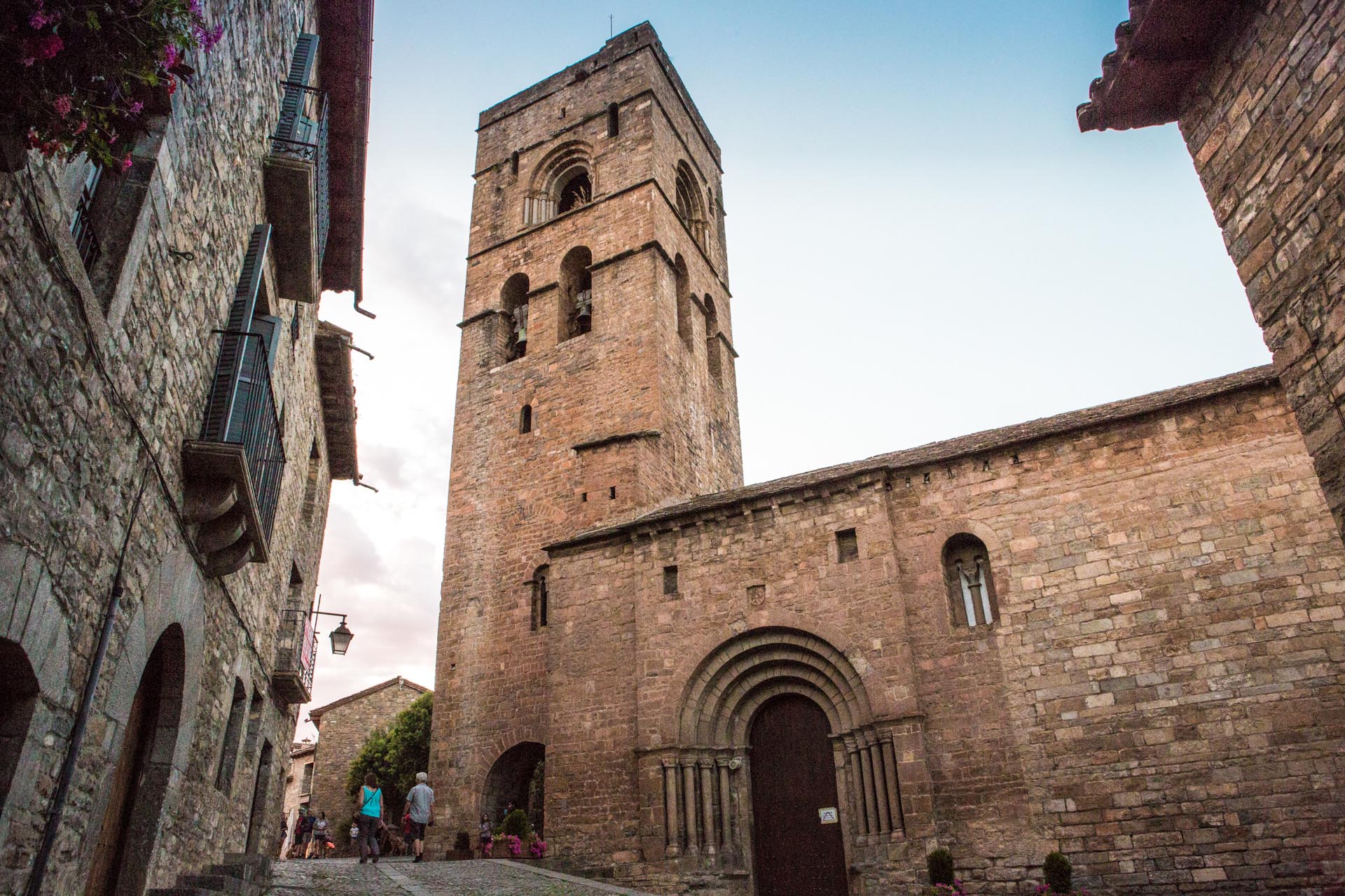
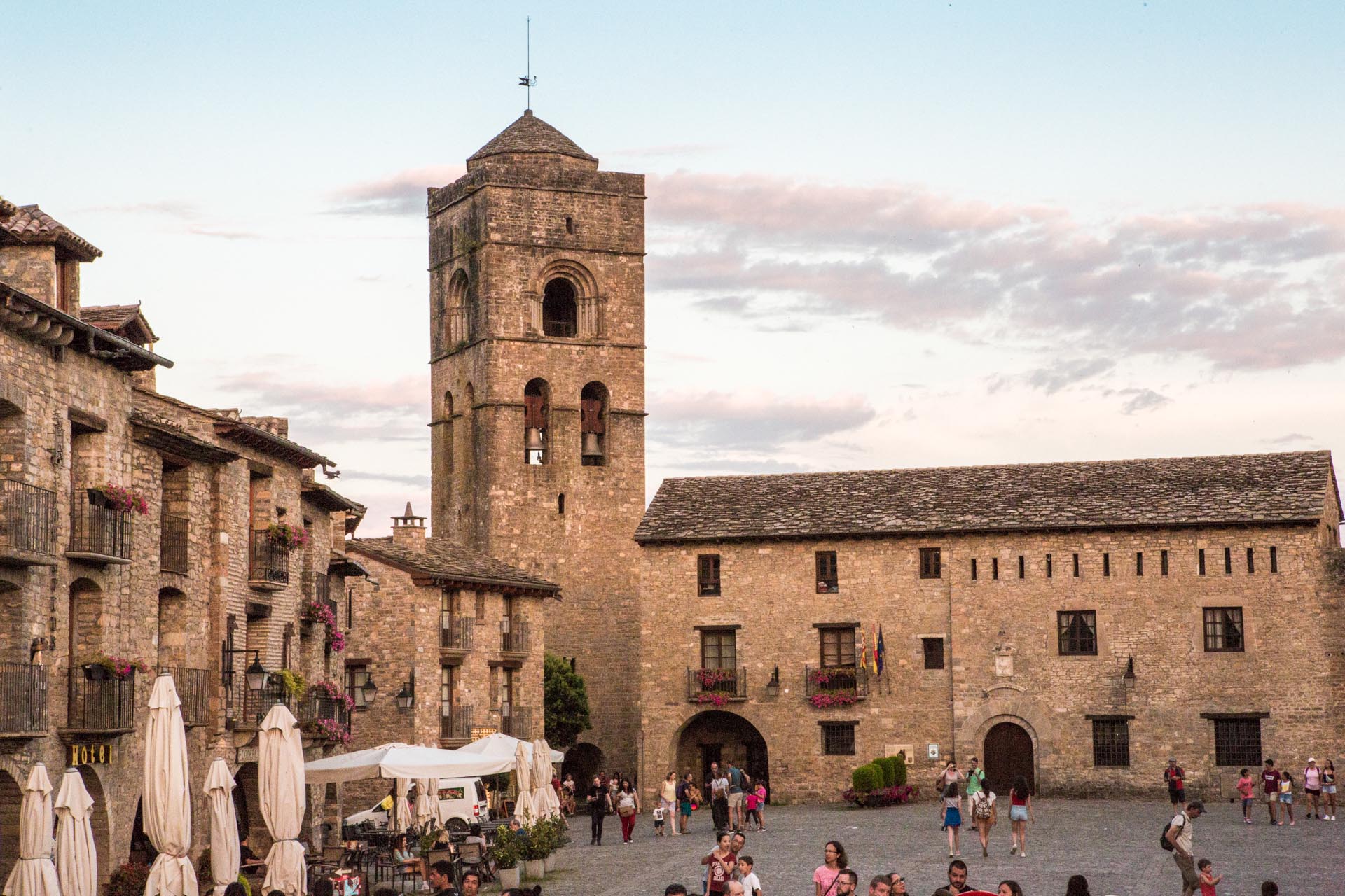
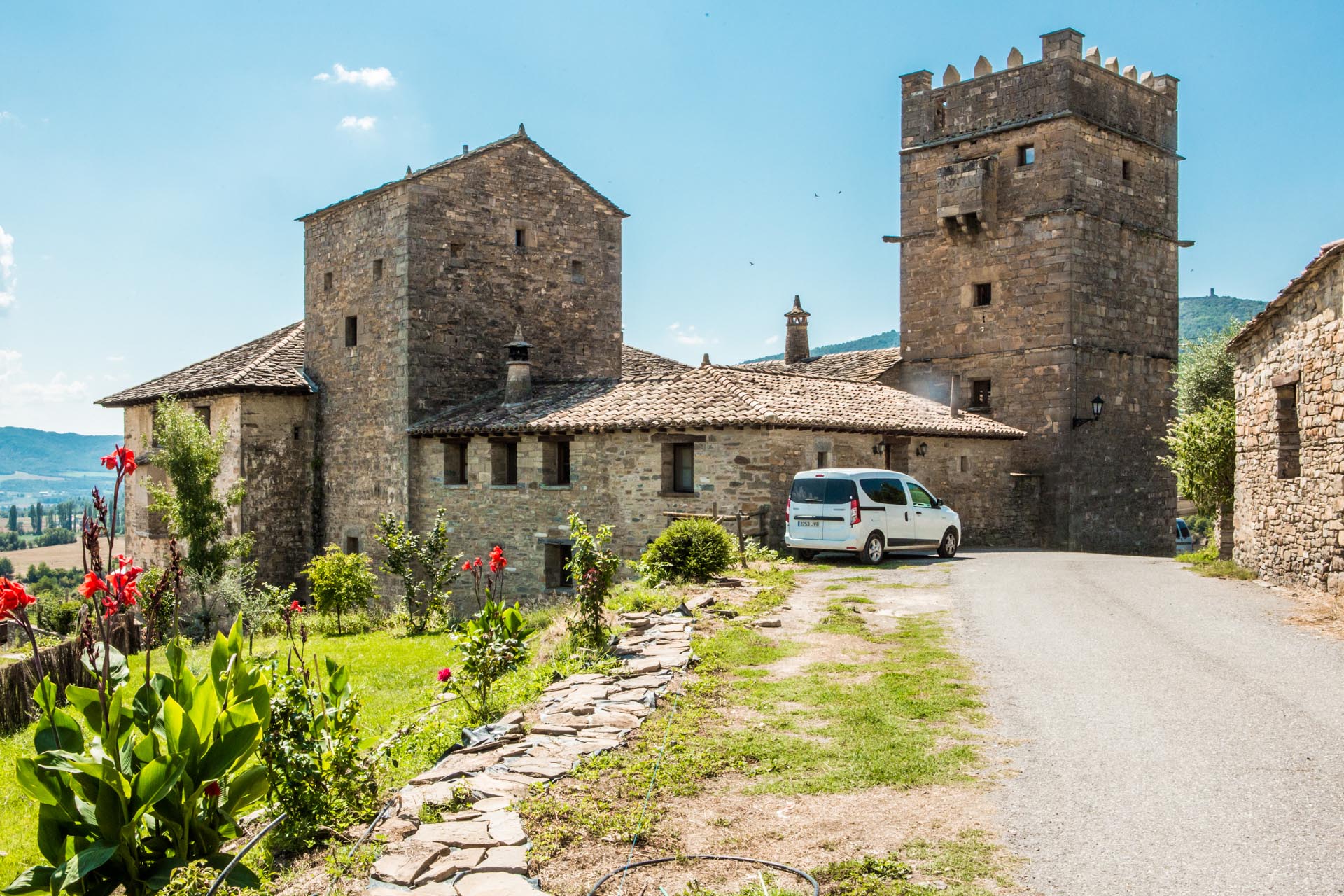
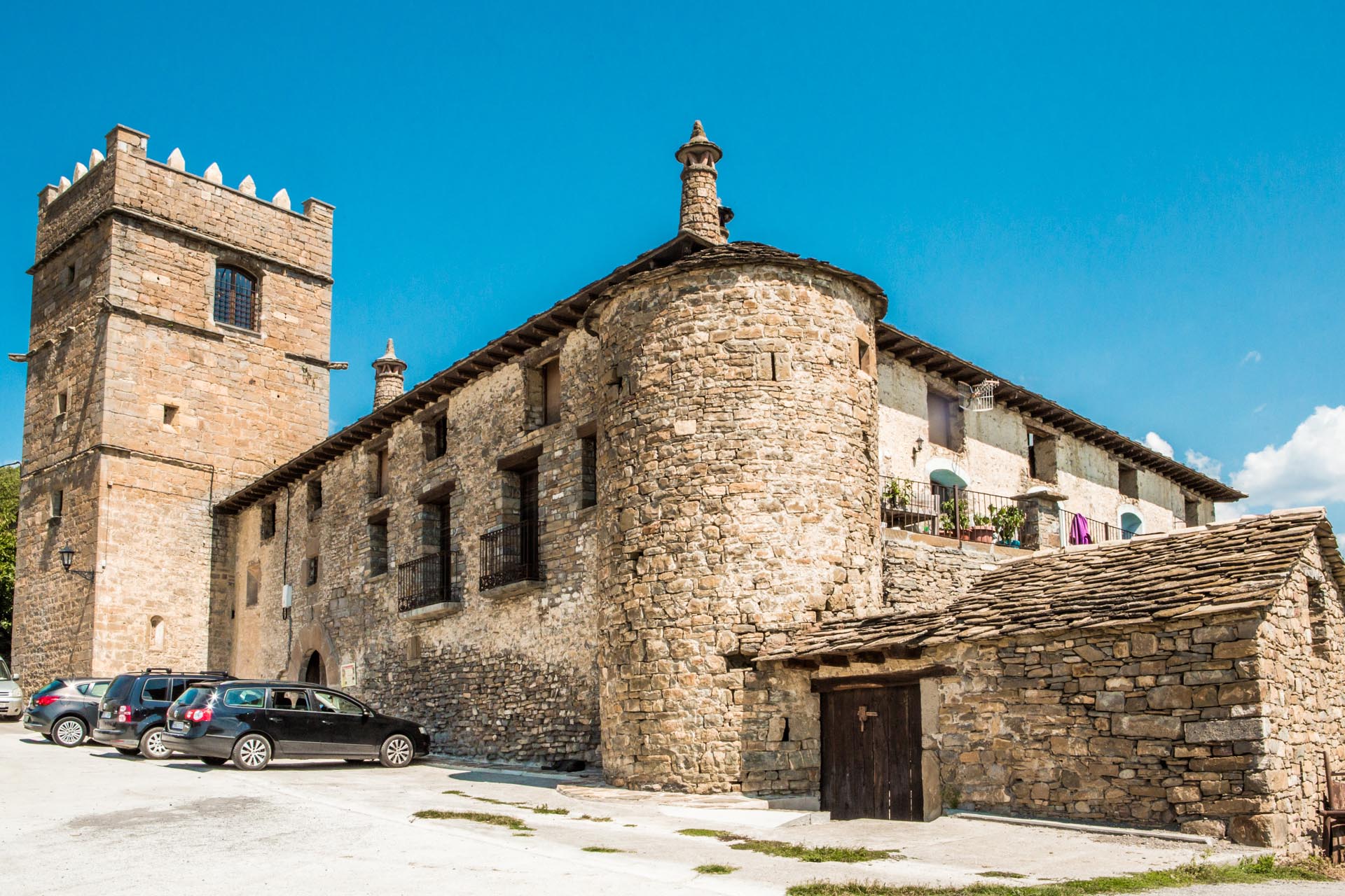
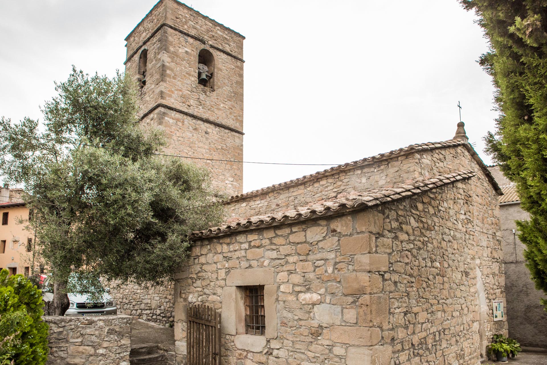
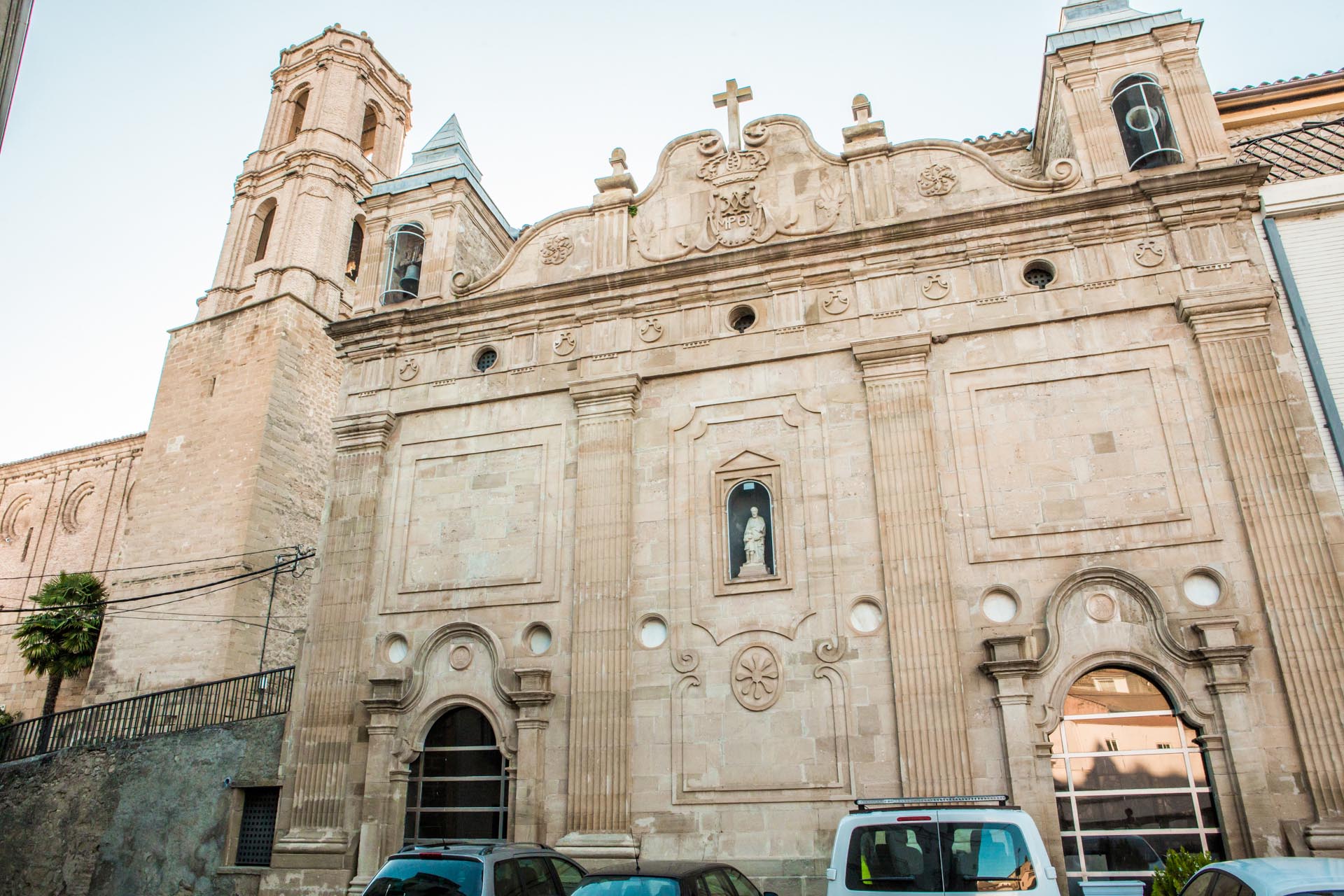
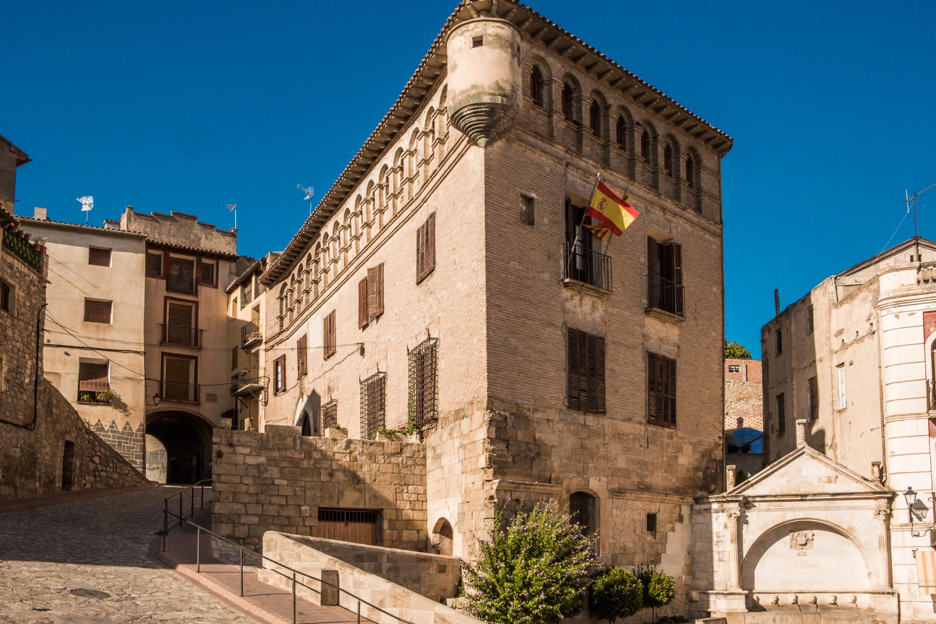
Aínsa is one of the most beautiful villages, not only in Aragon, but in the whole of Spain. An architectural complex of great value, it was declared Conjunto Histórico-Artístico (Historical-Artistic Value Complex) in 1965. Today the old town, the castle and the collegiate church bear the Bien de Interés Cultural (Cultural Heritage Site) title.

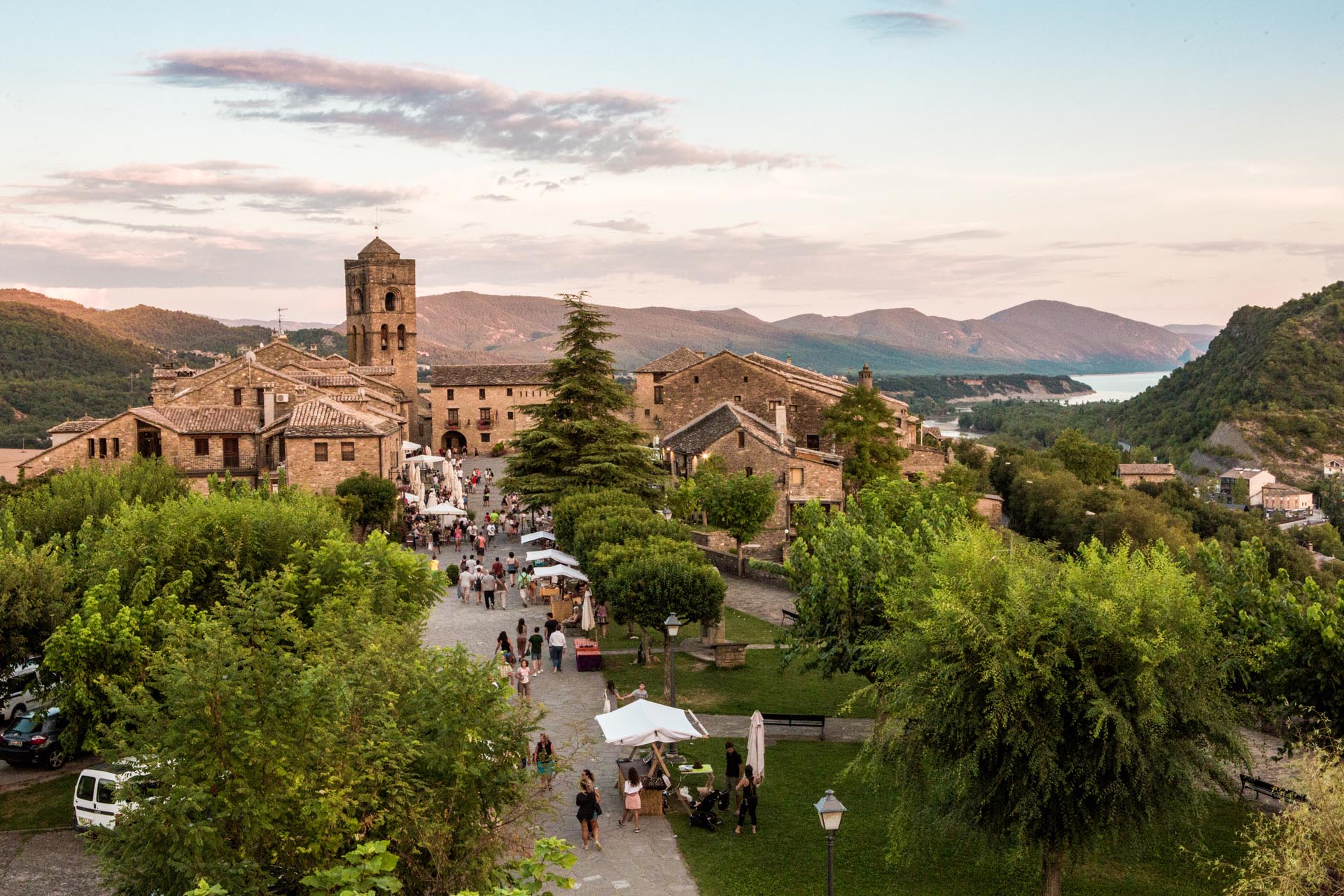
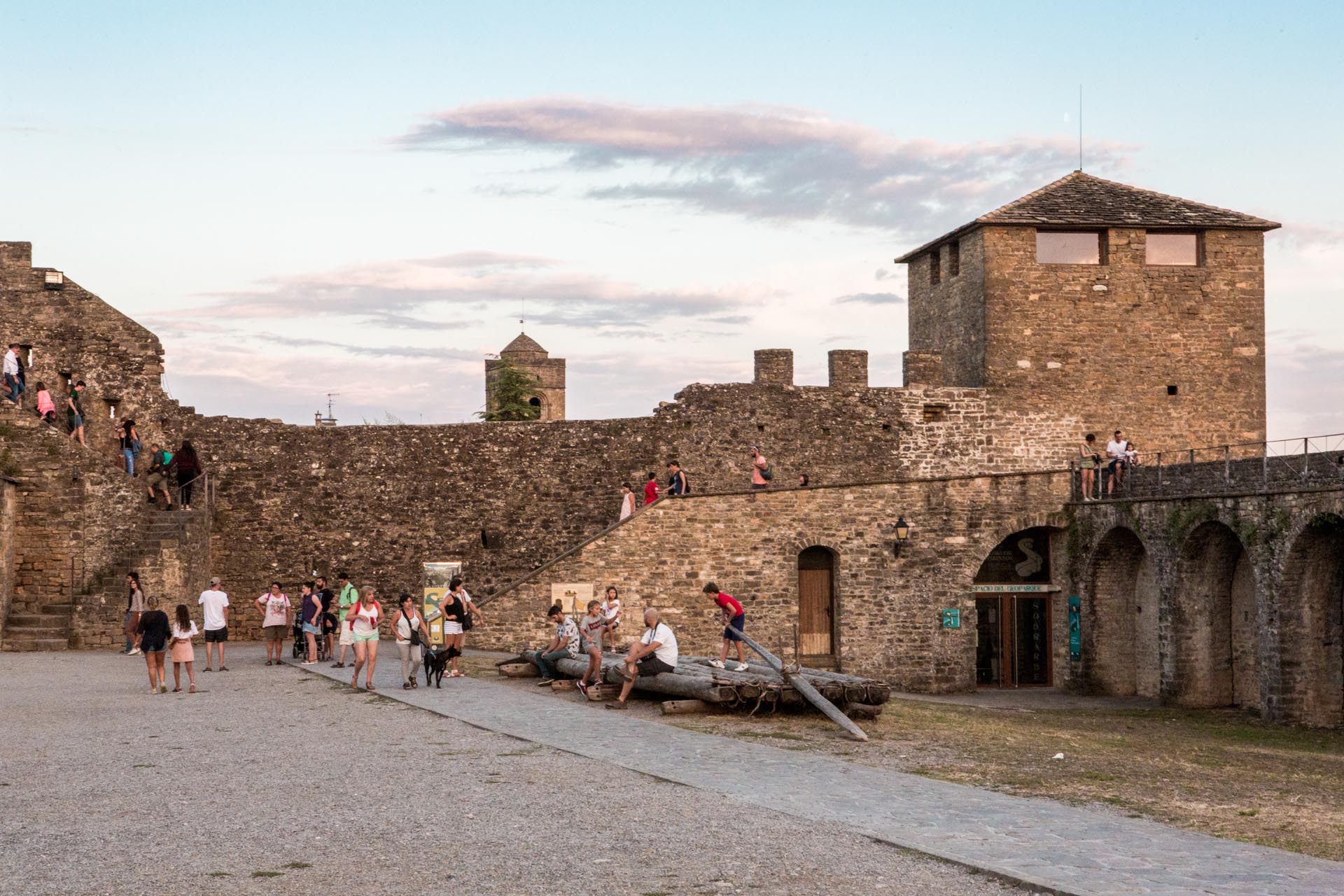
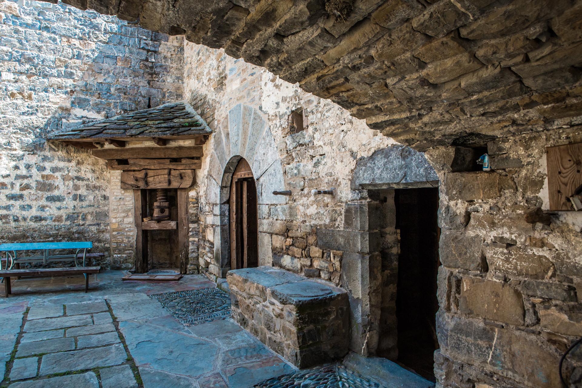
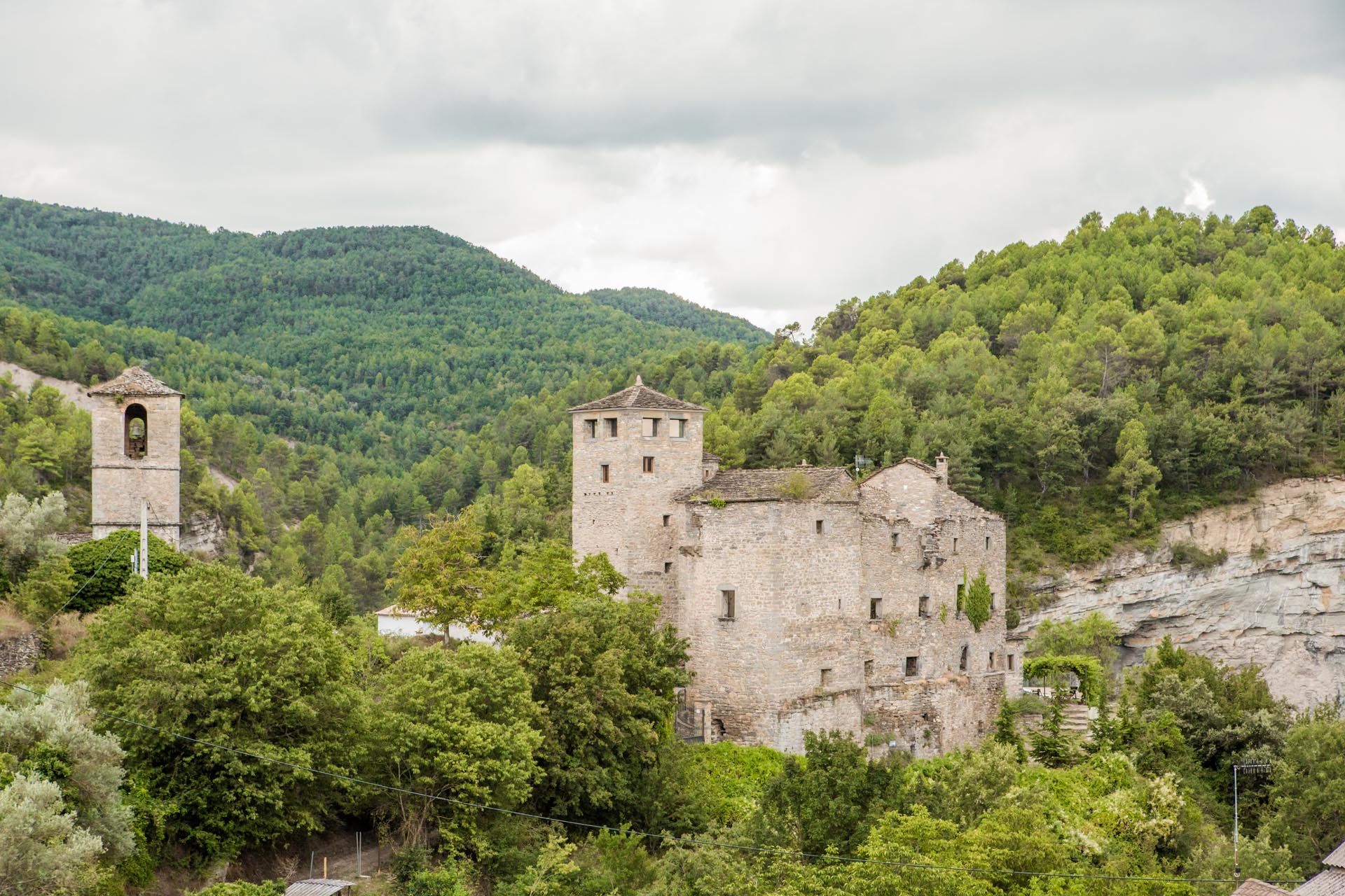
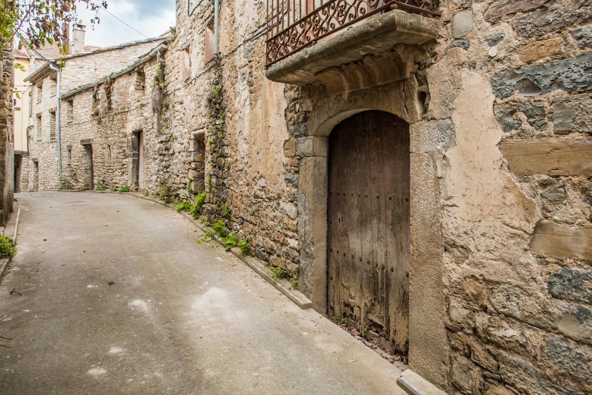
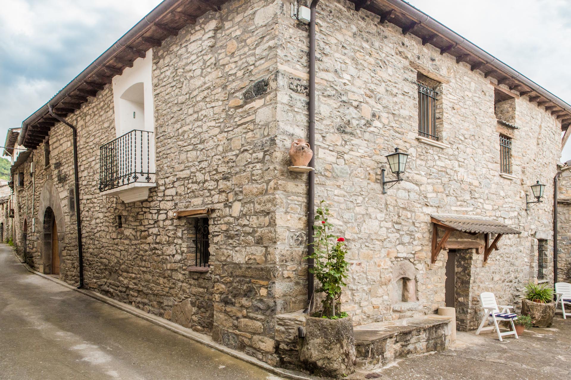
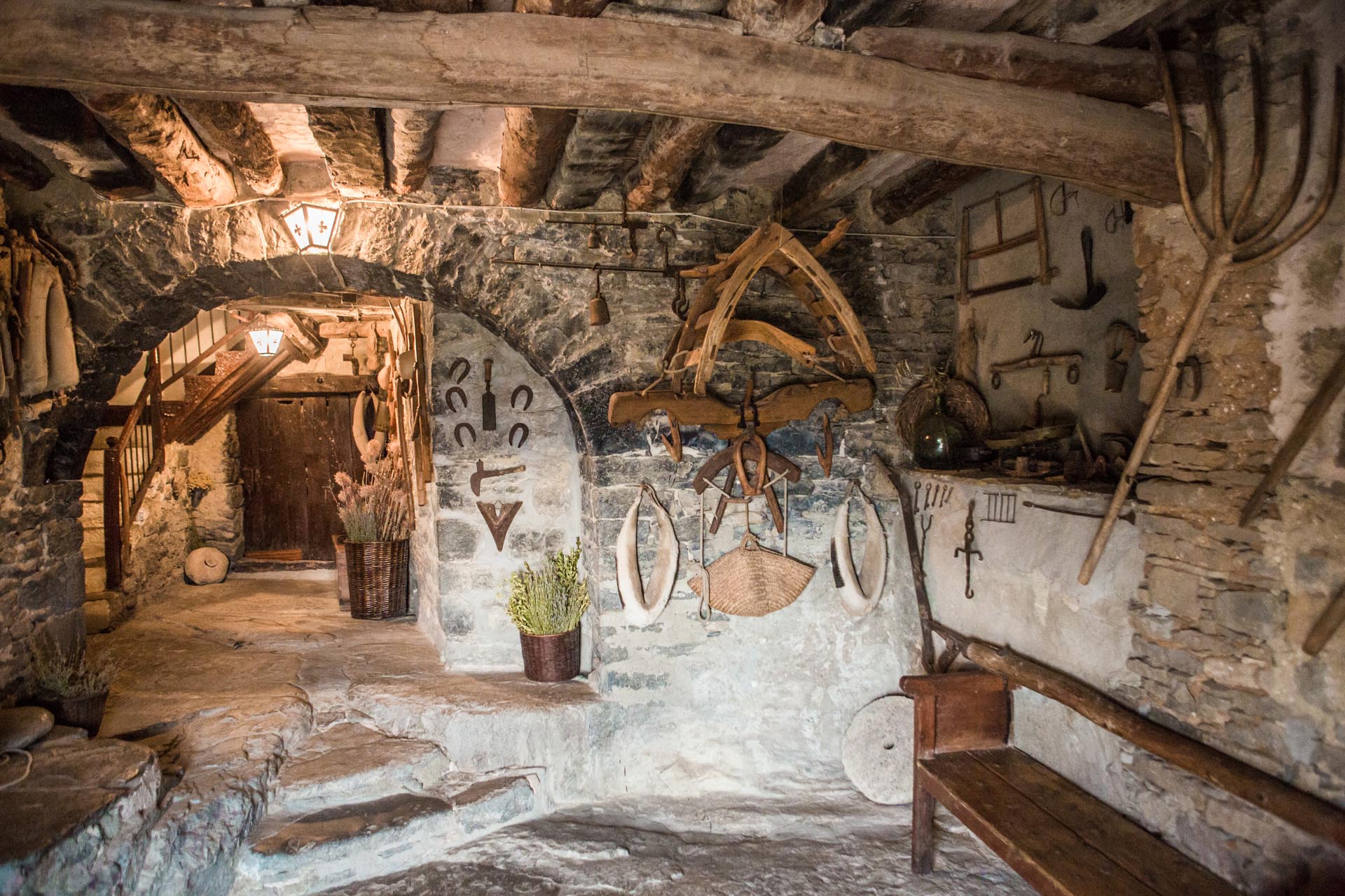
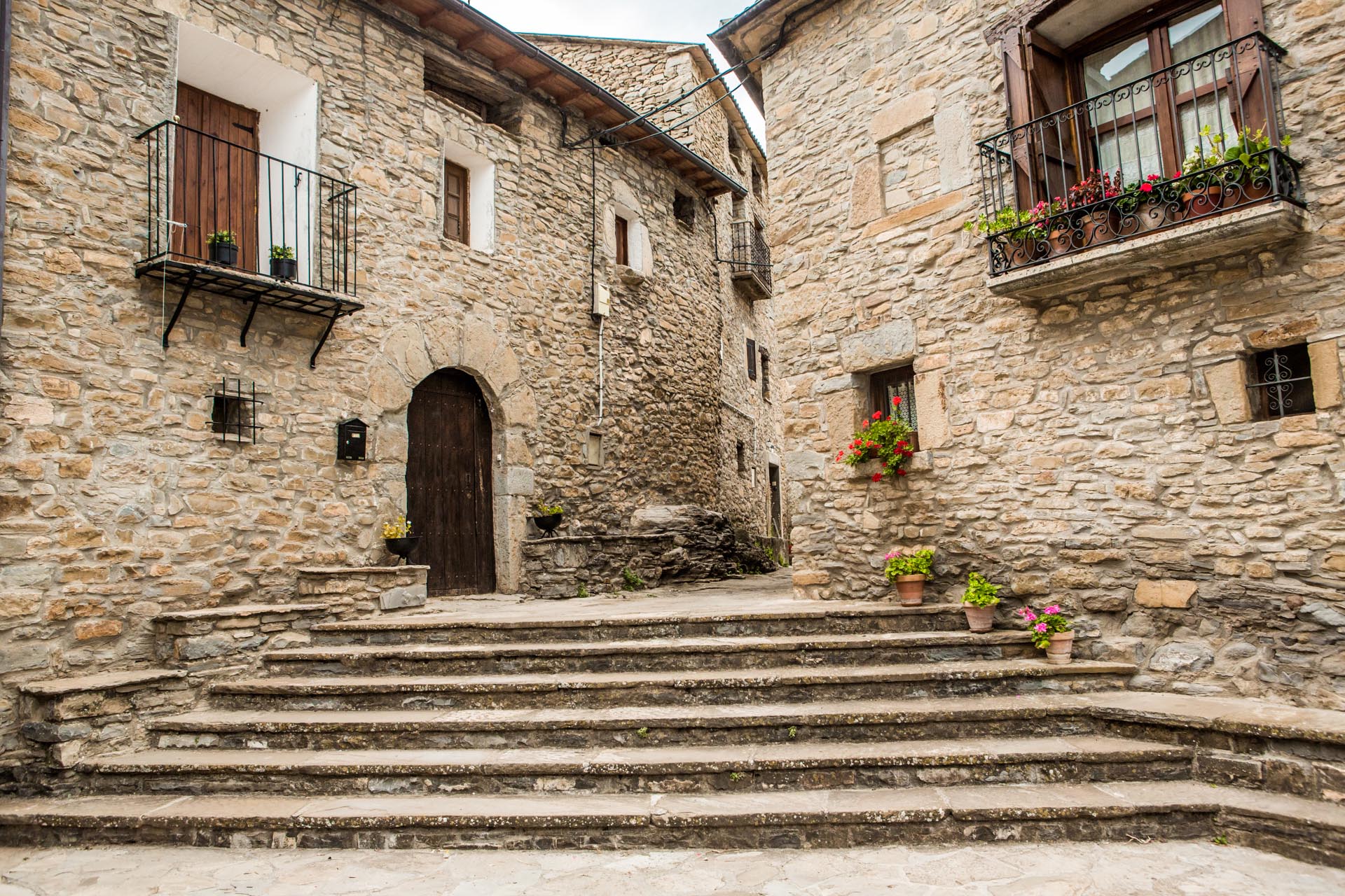
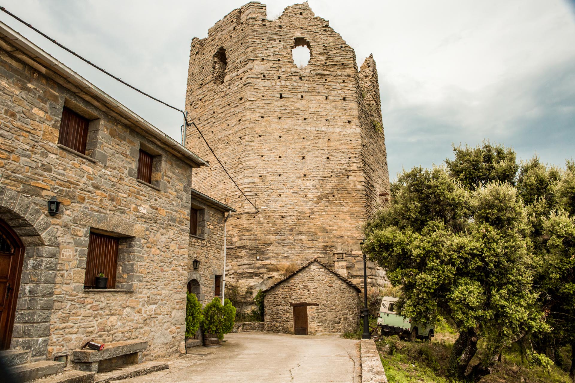
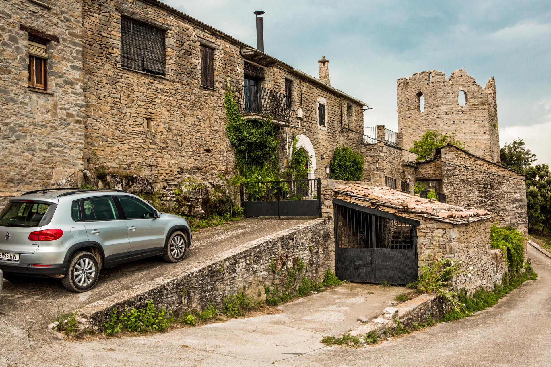
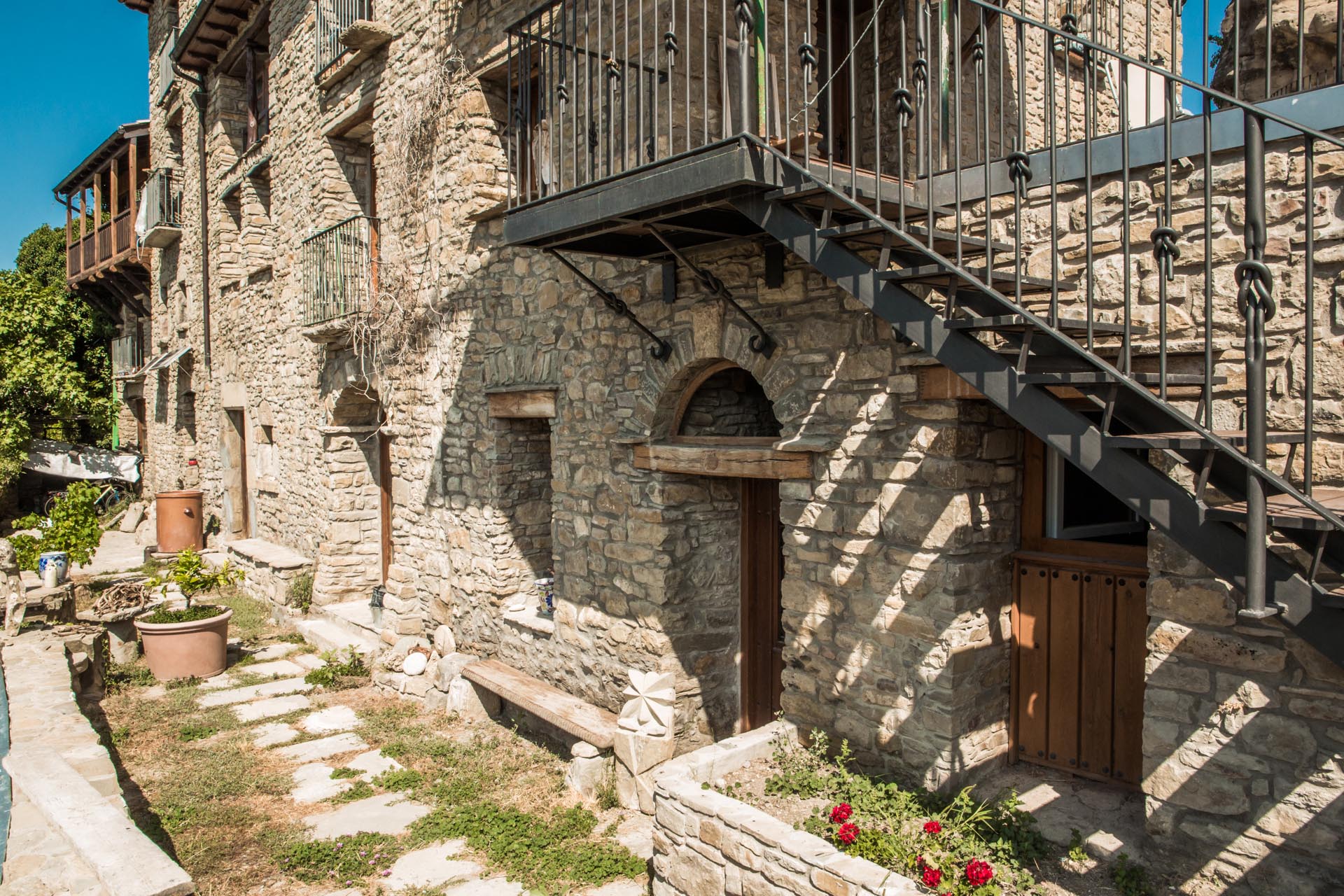
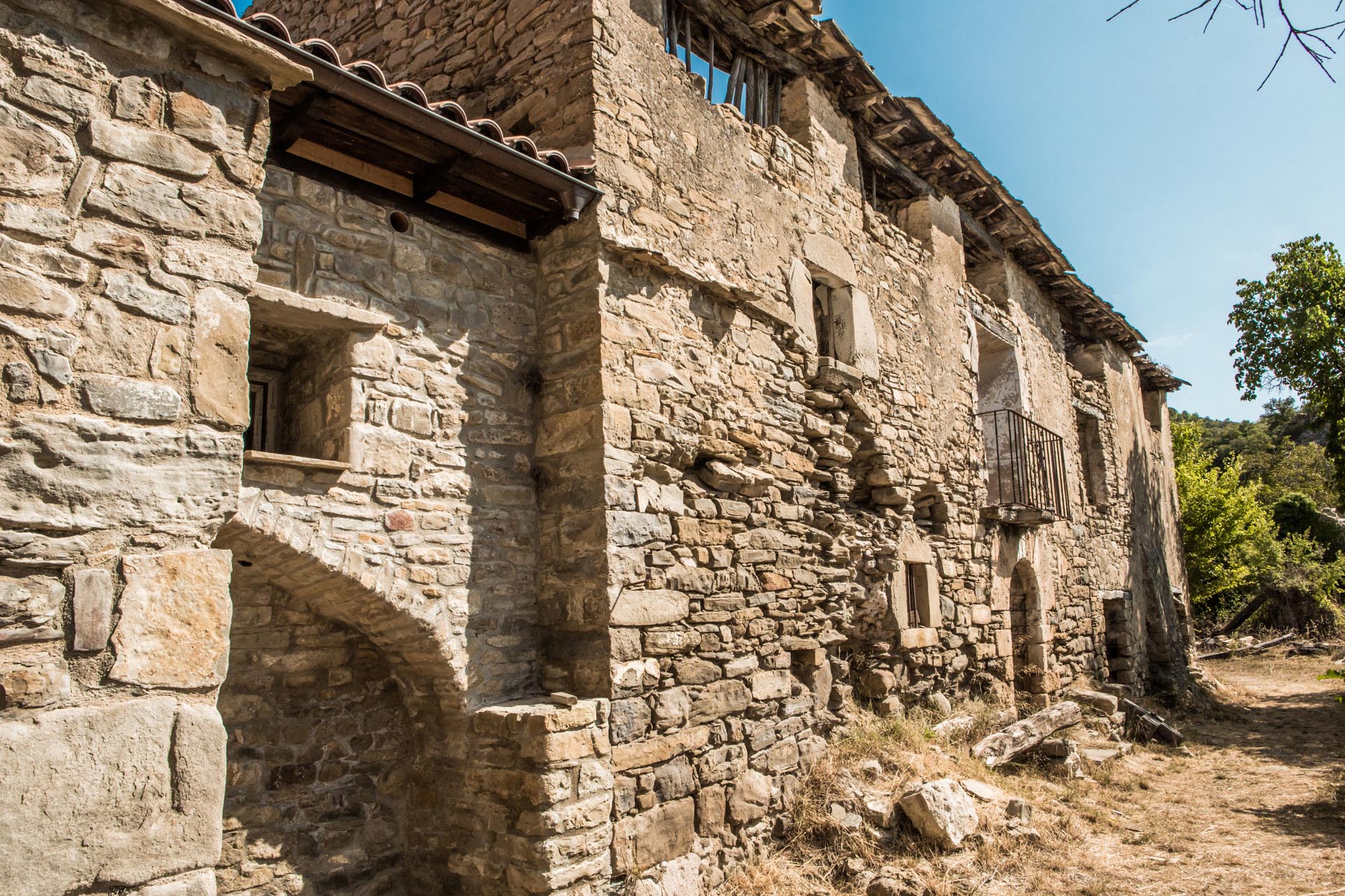
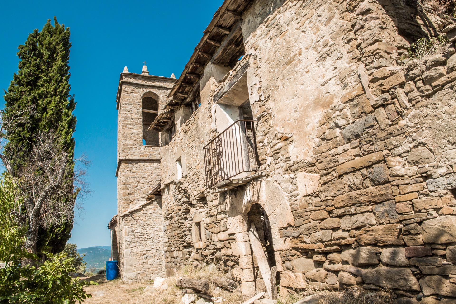
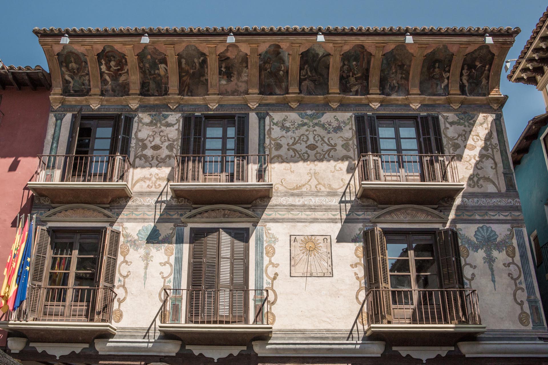
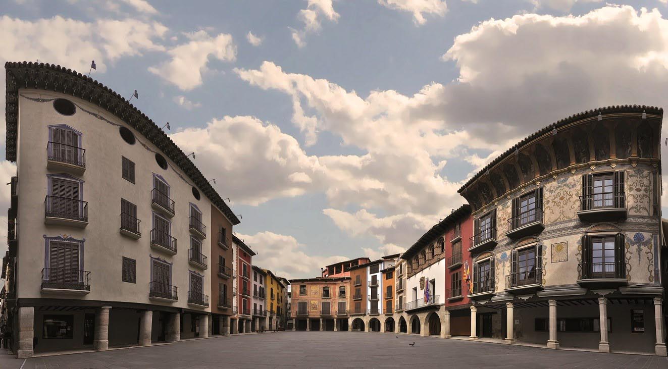
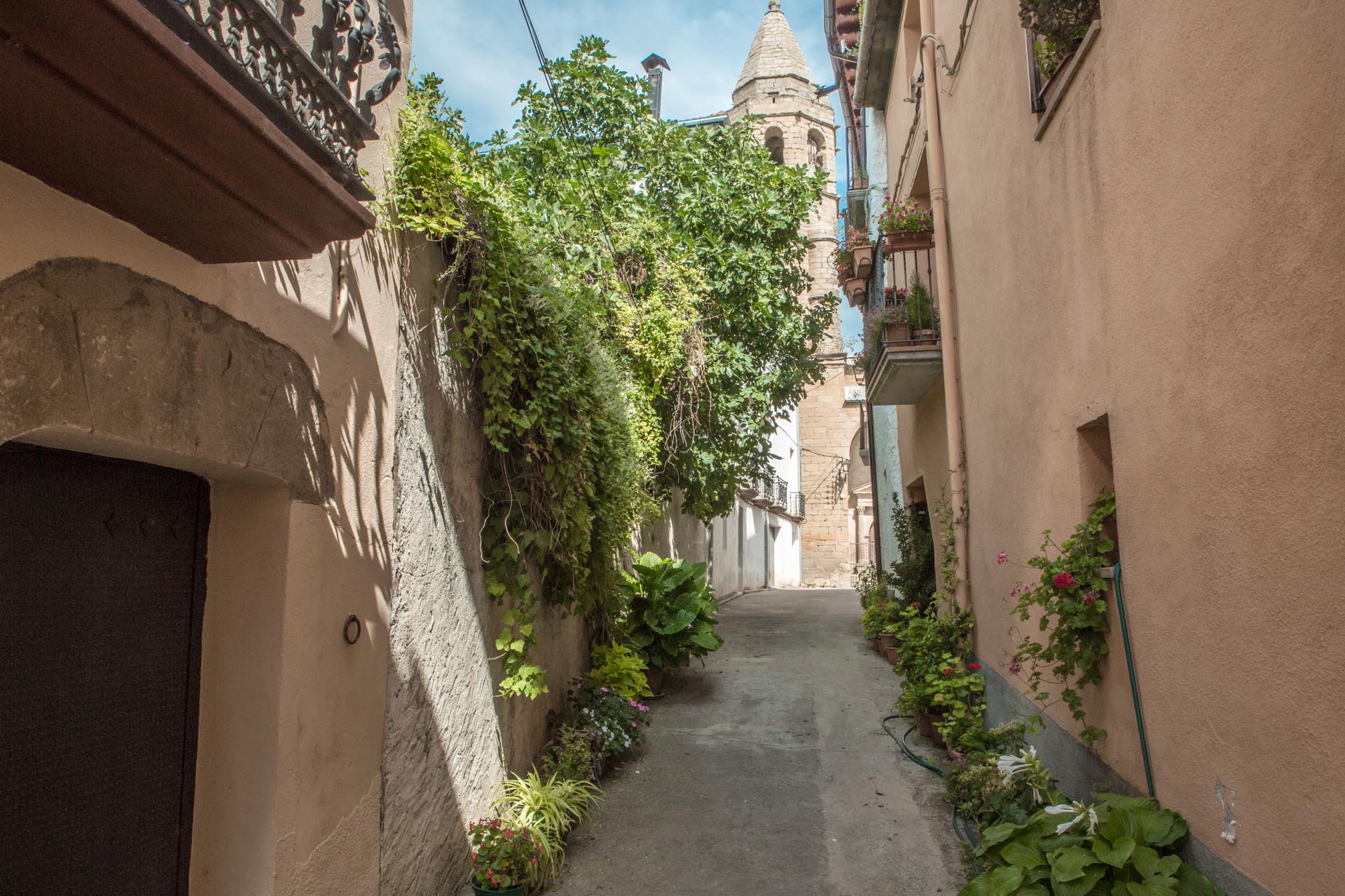
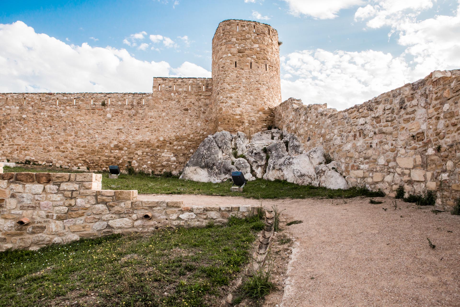
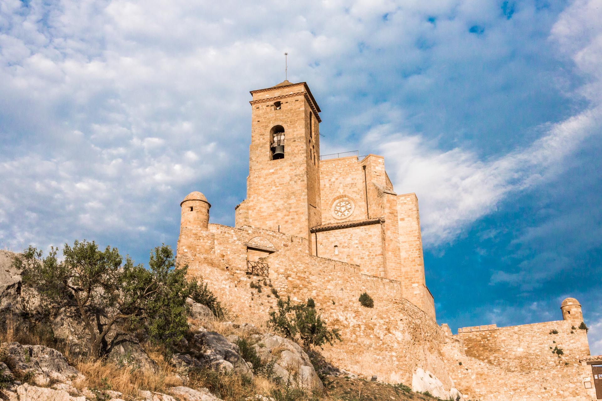
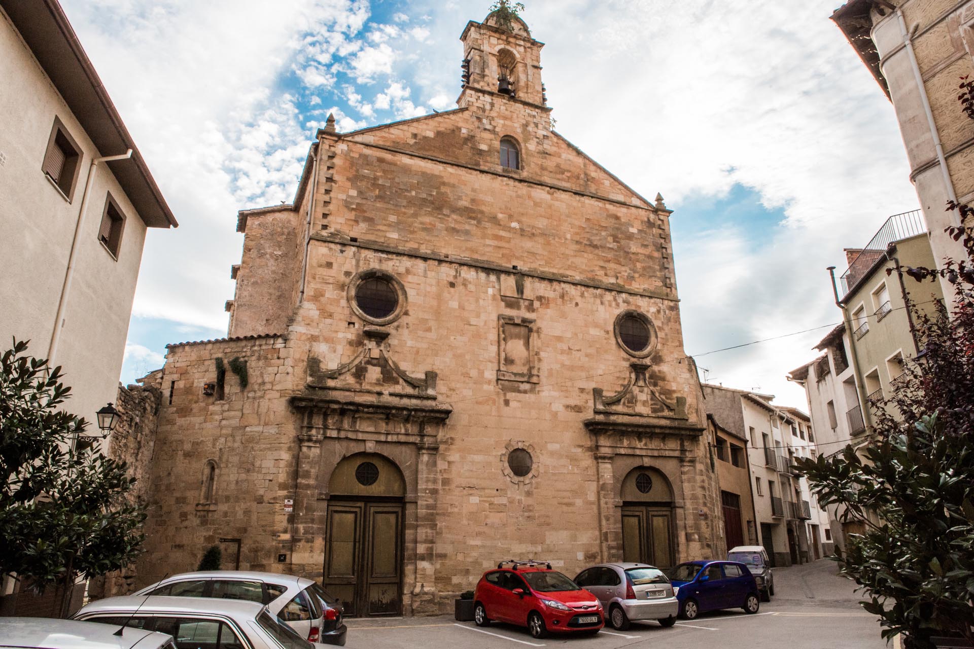
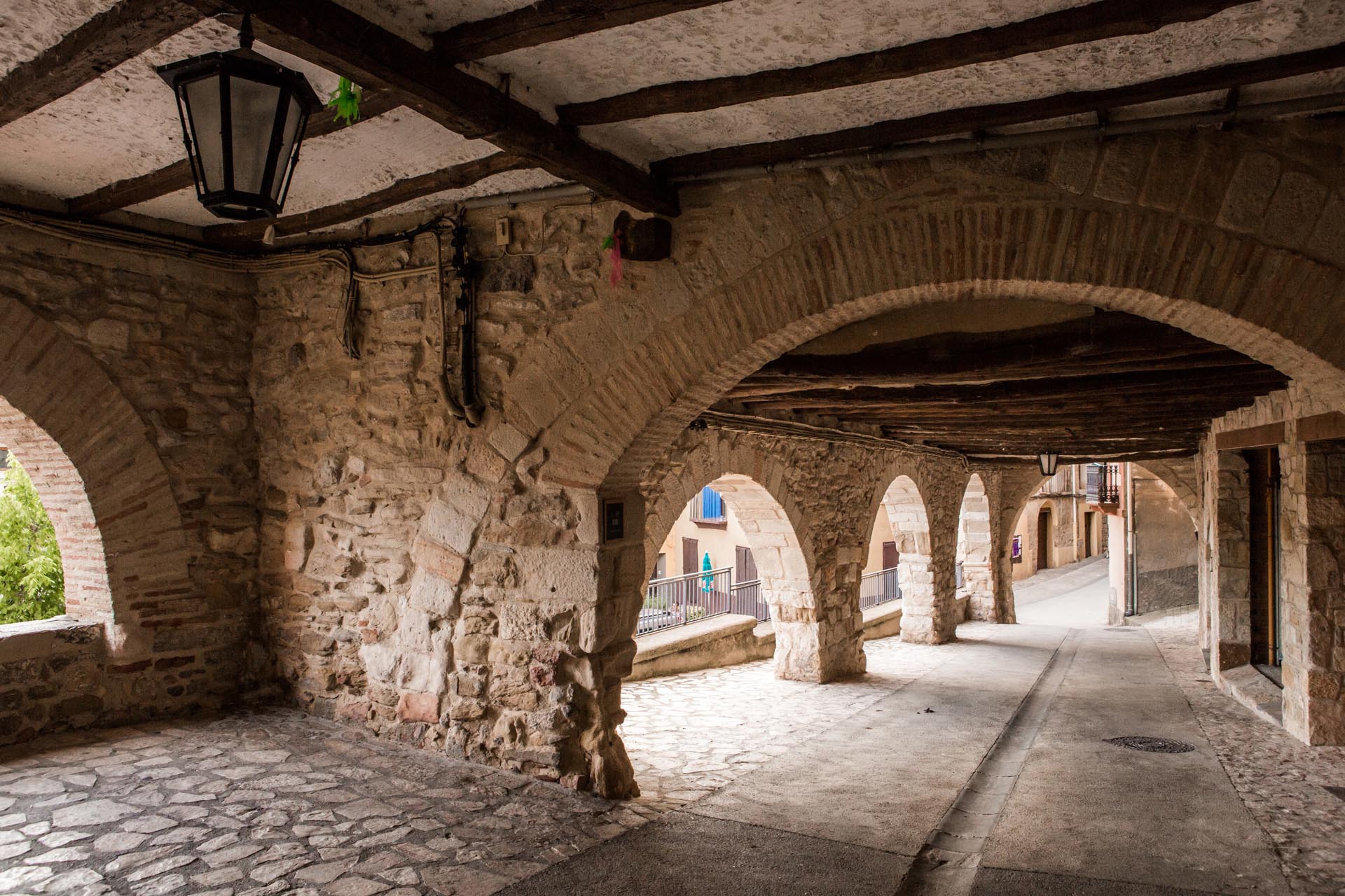
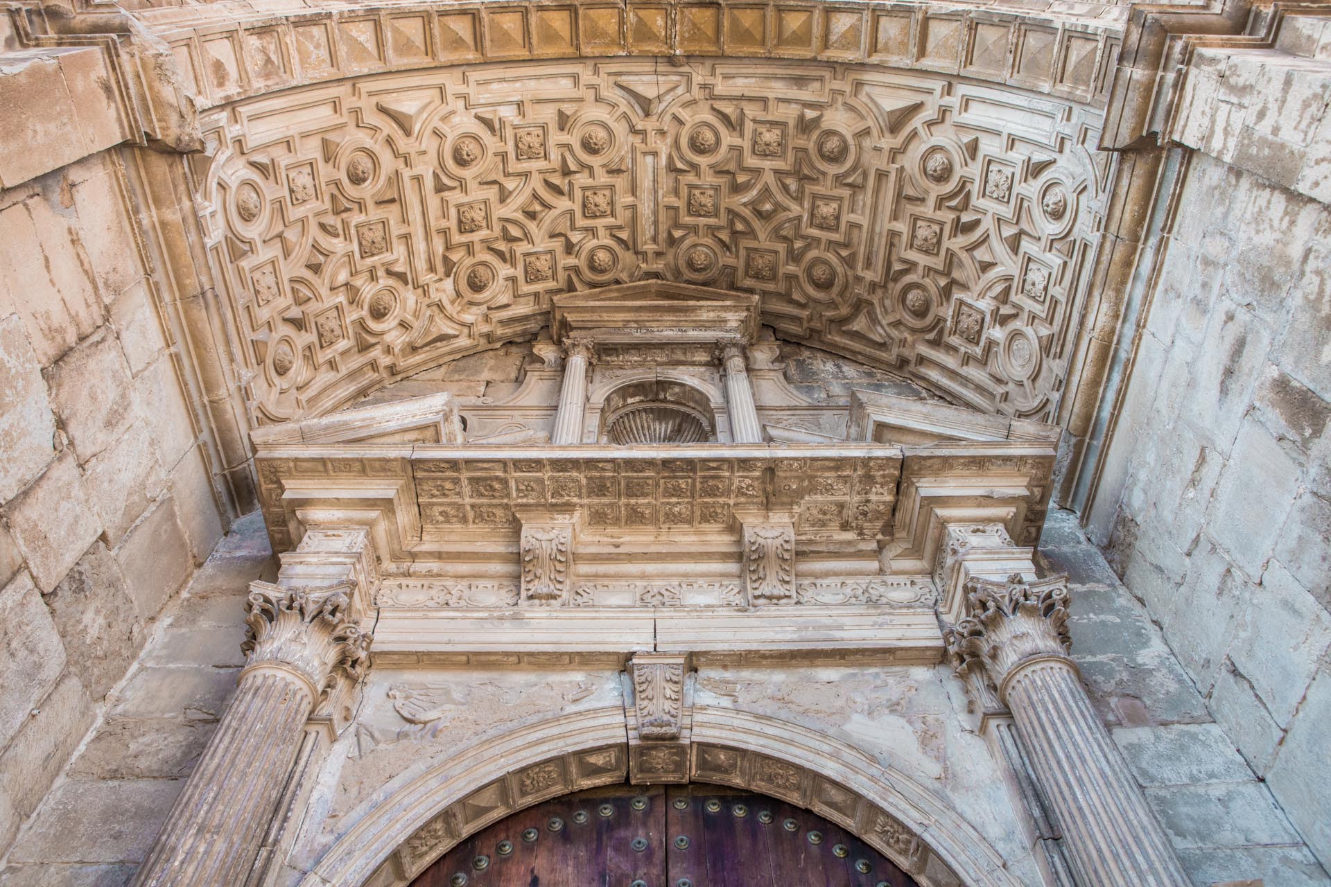
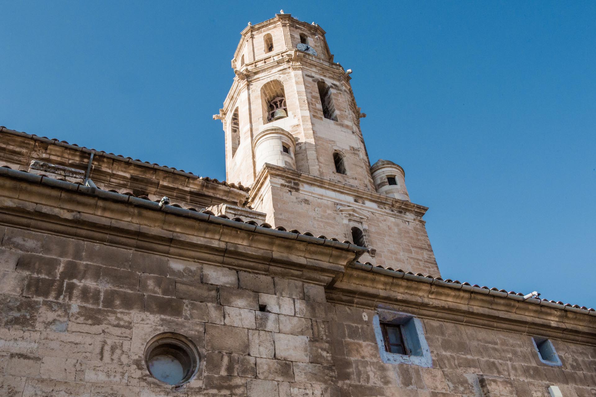
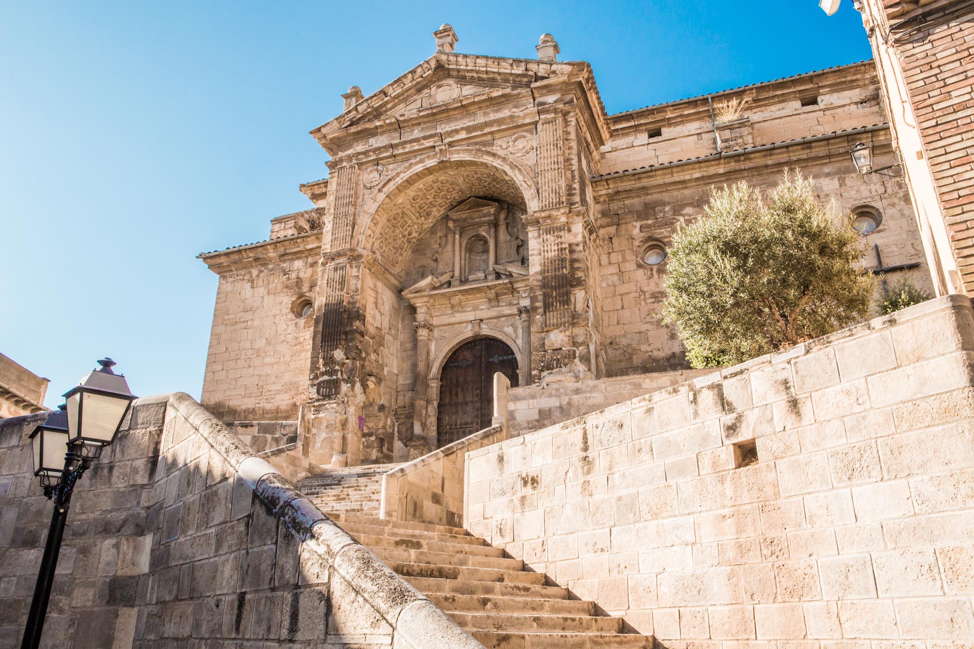
The old centre of Aínsa is a must. Strolling through the castle (11th to 16th centuries), the main square, with its portico and strong medieval atmosphere, the Romanesque church of Santa María (12th century) with its beautiful cloister and the cobbled streets, you can feel the centuries of history of this medieval city. The town’s houses (16th-17th centuries) are excellent examples of traditional architecture such as Casa Arnal, Casa Bielsa or Casa Latorre.

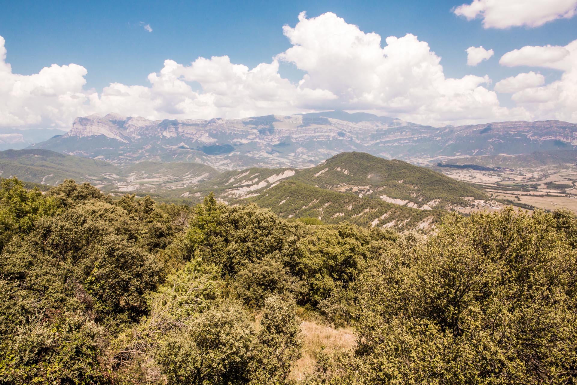
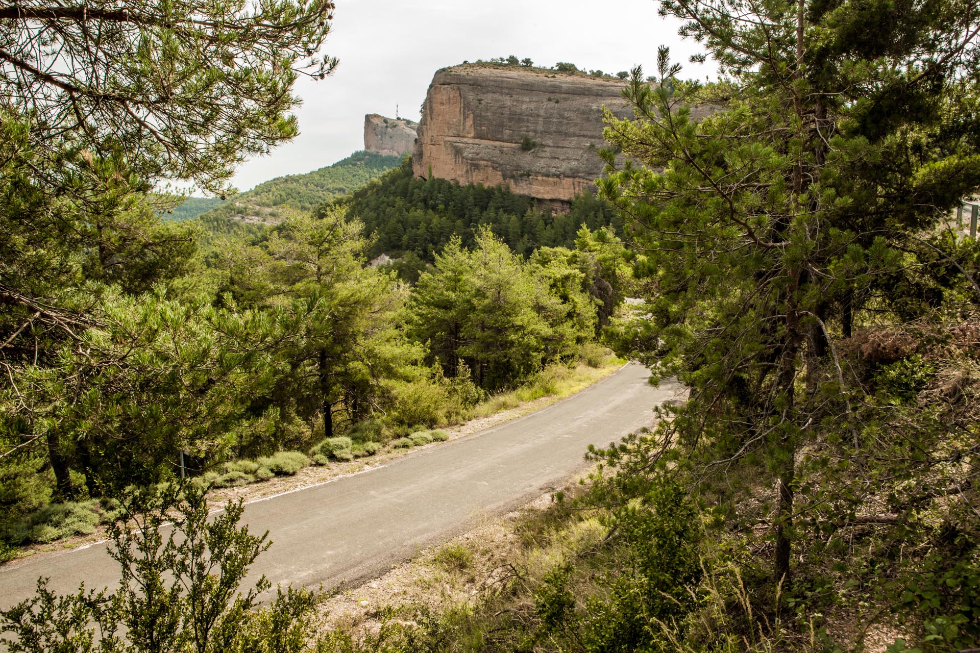
Walking through the historical centre of Aínsa, we will discover, thanks to the geo-city route of the Sobrarbe-Pyrenees UNESCO World Geopark, that this beautiful architectural complex has a lot to offer in addition to an interesting geological heritage, with which it is closely connected. It is the starting point for a visit to the Sobrarbe-Pyrenees UNESCO World Geopark, which is located in one of the towers of the castle.

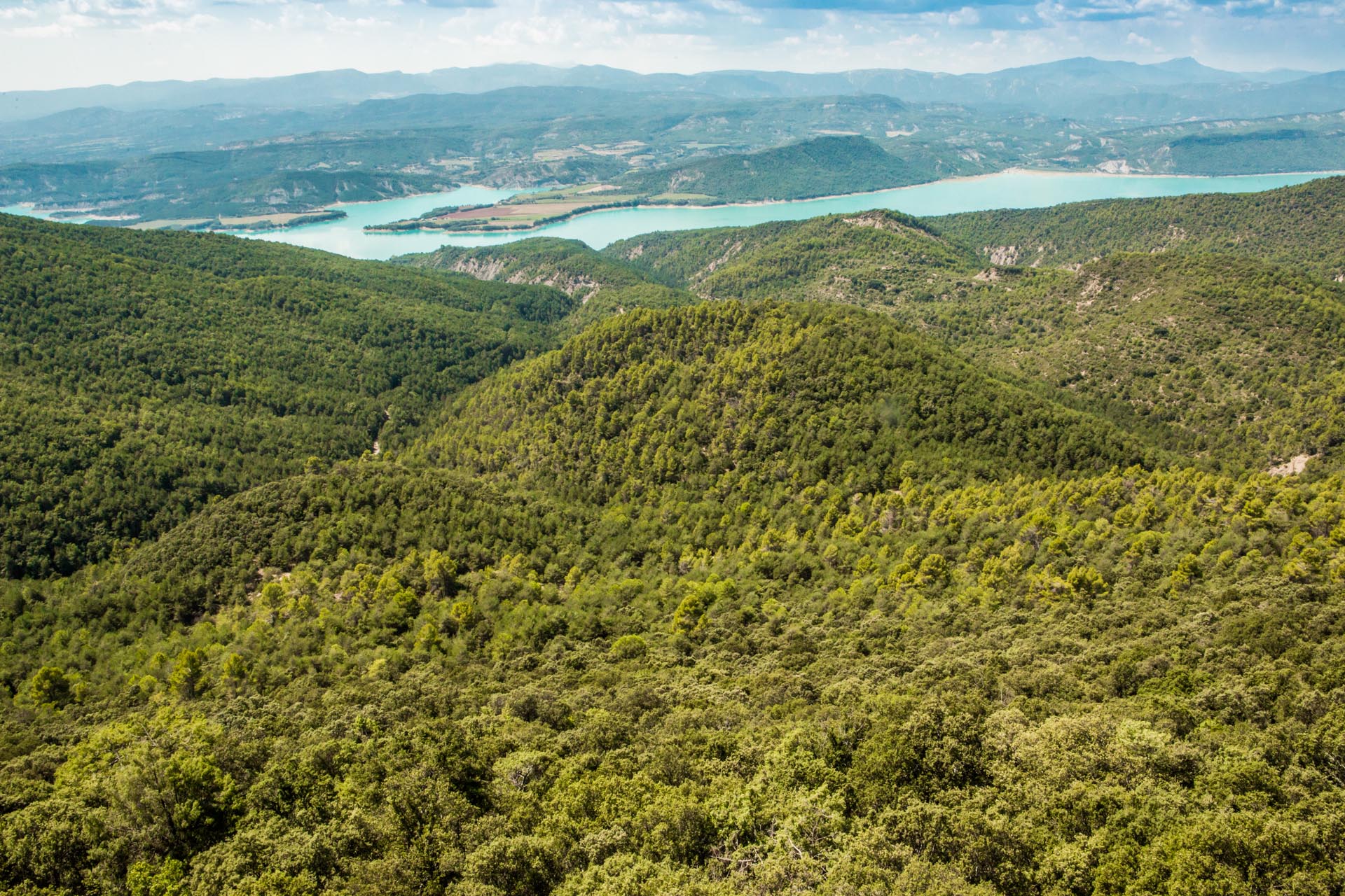
1.5 km from the village is the Cruz Cubierta Temple, inside which a column represents the tree and the cross of Sobrarbe, the symbols of the region that appear on the coat of arms of the kingdom of Aragón.

Point 1

Leave Aínsa via Avenida Sudiera/N-260 and then take the detour to Monzón. After 16,7 km we have arrived.

near_me Point 1

Leave Aínsa via Avenida Sudiera/N-260 and then take the detour to Monzón. After 16,7 km we have arrived.

Tierrantona local_hotelrestaurant

Tierrantona is located in a low area on the Llano de La Fueva (the largest plain of the Sobrarbe region).

The layout of the place, in contrast to other old places of La Fueva, does not show a defensive character, but a more recent constructive layout. Tierrantona is the district capital of the municipality of La Fueva, which was founded in the sixties after the merger of several municipalities. Samitans and Mediano were added in the seventies.

One building that we can highlight is the Casa del Médico (House of the Doctor), 16th-17th century, with a sloping door and loopholes on the walls. The façade is decorated with Gothic spans and ogee arches. The church is dedicated to the Assumption and has a Romanesque style from the 12th century. It has a rectangular nave and a drum-shaped apse. The door that opens onto the main square dates from the 16th century, as the original round arch is on the south side. The tower has three bodies and is crowned by a frieze of modern style blind arches and a roof with four double pitched roofs added in the 19th century.

Point 2

From Tierrantona take HU-V-6442 straight ahead and then HU-V-6441 to Formigales.

near_me Point 2

From Tierrantona take HU-V-6442 straight ahead and then HU-V-6441 to Formigales.

Formigales local_hotel

The village is limited to two streets and one square; 200 people once lived here. Some houses are slightly separated from the city centre and to the south we find a fortified house and the parish church. The 16th century building was a palace fortress. In the façade, the gate has a lowered arch to complement the coat of arms and two Gothic profile windows.

The parish church dates back to the same century as the palace-fortress, since it was built in Aragonese Gothic style in the 16th century. It is dedicated to Saint Eulalia and has a covered nave with a star vault and polygonal apse. The façade is finished at the nave, with a gallery of rectangular arches. The door opens to the west, with grooved pillars and capitals. The tower rises to the north and has three bodies.

Point 3

Leave Formigales on the HU-V-6441 until you reach the 5.9 km between us and Troncedo.

near_me Point 3

Leave Formigales on the HU-V-6441 until you reach the 5.9 km between us and Troncedo.

Troncedo

Troncedo is located on a hill on the slope of the Sierra de Turón. The pentagonal main tower and the stump of a rectangular tower are all that remain of the castle. The tower has semi-circular windows on each side of the upper floor and is made of natural stone, possibly from the 11th century.

The village consists of two scattered groups of houses. One of these groups, possibly the older one, was arranged around the castle and the parish church, and consists of a single alleyway in which there are about twenty houses. In this hamlet, the buildings have made use of the irregularity of the terrain of the ridge on which they sit. The second hamlet, a little further away, is below the main hamlet, on the slope that leads to the Salinar Gorge. This hamlet is made up of several houses that border a church dedicated today to Saint Victorian.

The parish church is situated on a rock and is a 12th century Romanesque building dedicated to Saint Stephen.

Point 4

Exit Troncedo direction HU-V-6441 to reach the 9,3 km that separate us from Pano.

near_me Point 4

Exit Troncedo direction HU-V-6441 to reach the 9,3 km that separate us from Pano.

Pano

Pano is located 13 km from Graus in the direction of the Fueva valley. The village was abandoned in the 1960s with the construction of the El Grado reservoir and is currently being rebuilt. There is a religious-military complex, now in ruins, which together with those of Troncedo, Clamosa and Abizanda was part of the Christian outpost against the Muslim squares of Graus, Barbastro and Monzón. It was built around 1055-1060 by local stonemasons in the style of the Lombard masters.  The tower must have had three floors plus a platform. It is a strategic place that dominates the Fueva valley to the east and the large area of the Cinca river to the west and is visually linked to the castle of Samitier.

Pano preserves an 11th century jewel, the San Antón hermitage, which has been declared a Cultural Heritage Site and was the last remnant of the convent of San Juan de Pano. Its style is Romanesque-Lombard, built from barely worked ashlars, this crudeness being one of the elements that emphasize its beauty.

Point 5

From Pano take the road HU-V-6441 to Panillo after 4,1 km.

near_me Point 5

From Pano take the road HU-V-6441 to Panillo after 4,1 km.

Panillo

Panillo is very close to Pano, on the other side of the hill. There is a 16th century church (Santa Engracia) and a bar in an old oil mill of about 7 metres in length. The municipality of Panillo was founded in 1984 and is linked to the Dagpo and Shangpa Kagyü lines of Vajrayana Buddhism, whose guardianship is under the protection of today’s Yangtsi Kalu Rinpoche. One year later, in 1985, it was finally established as a centre for the study and practice of Buddhism. The Dag Shang Kagyu Centre offers numerous activities. The community has restored the hostel and built a beautiful traditional-style temple, a 17 meter high stupa, a Kalachakra stupa, 108 small stupas, a large prayer mill and a shedra (school). Among the celebrations is that of the new Tibetan year, the Losar, a very special one. This New Year is celebrated on the first day of the first month of the Tibetan lunar calendar, which is usually in the month of February. The festival takes place between music, dances and prayers. The visitor can visit and experience the celebration free of charge.

Point 6

Leave Panillo via HU-V-6441 until you take the detour A-139 towards Graus. After 8,7 km we have arrived.

near_me Point 6

Leave Panillo via HU-V-6441 until you take the detour A-139 towards Graus. After 8,7 km we have arrived.

Graus local_hotellocal_gas_station

Graus is located at the confluence of the Ésera and Isábena and is the administrative capital of the region. It has been declared a Conjunto Histórico (Historical Complex). Today, parts of the city wall and three of its gates can still be seen.  In the lower part of the town, the medieval flavour survives in the narrow streets and small squares, which contains a few stately palaces. The most outstanding feature in Graus is the main square, where the buildings stand as a harmonious whole on beautiful verandas, where very different architectural styles meet. On this square stands the Town Hall with its arches in Mudéjar-Aragonese Art Nouveau style; the buildings of Casa Heredia and Casa del Barón have pretty facades with allegorical paintings. Other outstanding buildings are the medieval Puente de Abajo bridge and the Joaquín Costa Monument. The San Miguel parish church is also of Romanesque origin, although it was continuously rebuilt until the 18th century. The Basilica of the Virgen de la Peña, of Romanesque origin, with a Gothic flavour and a fundamentally Renaissance style, is a robust church with a single nave and star-shaped ribbed vaults, also noted for its beautiful cloister and the old Spittal, and containing an interesting icon museum in its premises.

Point 7

Leave Graus along the road Valle de Arán/A-1605, then walk the 12 km that separate us from Laguarres

near_me Point 7

Leave Graus along the road Valle de Arán/A-1605, then walk the 12 km that separate us from Laguarres

Laguarres local_hotel

This small village belongs to the municipality of Capella. At its centre we find the parish church of the Ascension, in Aragonese Gothic style and completed in 1586. The Nuestra Señora del Llano hermitage, built at the end of the 12th century, is in Romanesque style and can be seen on the other side of the street. In the 19th century, the cemetery next to the parish church was moved here. In the hermitage of San Sebastián, the day of the patron saint is celebrated on the 20th of January with a mass followed by a cake and wine feast.

Laguarres Castle is a building in ruins, on the top of the mountain range, on the road to Benabarre. As soon as you go up the mountain pass at km 7, there is a path on the left that is one kilometre long and leads to the top of the imposing 1150-metre high rock. All that remains of the castle is the base of a cylindrical tower measuring about nine metres in diameter; the original height of the tower is unknown, although it was probably about 20 metres high and resembled the towers of Fantova, Viacamp or Luzás.

Point 8

Leave Laguarres on the A-1606 and drive the 14.8 km that separate us from Benabarre.

near_me Point 8

Leave Laguarres on the A-1606 and drive the 14.8 km that separate us from Benabarre.

Benabarre local_hotellocal_gas_station

Benabarre is the historical-cultural capital of the region and the ancient capital of the county of Ribagorza. The restored town hall building is our reference point on the main square. In the church square, the 19th-century parish is under the protection of the Our Lady of Valdeflores and the Archangel Saint Michael.

The castle is an imposing building of Muslim origin, which experienced its maximum splendour between 1577 and 1589, when Benabarre was the capital of the county of Ribagorza. At that time, the bloody battles between Count Don Martín and his son Don Fernando de Aragón took place. After many sieges, in 1596 the castle was demolished by King Philip II.

Benabarre offers us a very interesting itinerary to discover some of the crafts that have been lost and saved from oblivion; from the repair of the finest clock to the washing of everyday clothes, they demonstrate the ability of many people who for generations have worked with their hands to transform cocoa into chocolate, ears of corn into bread, milk into cheese and ultimately, raw materials into art.

The route shows us places of interest such as the ice fountain, the oil mill and the grain mill, the cistern and the washing places, the clock museum, the chocolate museum and the goat cheese factory.

Point 9

From Benabarre via Carretera de Viella/N-230 and then via HU-941 to Villa Medieval de Montañana.

near_me Point 9

From Benabarre via Carretera de Viella/N-230 and then via HU-941 to Villa Medieval de Montañana.

Montañana

The medieval centre of Montañana has been declared a Cultural Heritage Site and a Historical Complex. It was in the upper part of the hill, composed of the gorges of San Miguel and San Juan, that the fortress that was part of the border line, along the Pyrenees, was built for the benefit of the reconquista (Christian reconquest from the Moors). In general, the medieval character of the two Romanesque churches dominates, as do the remains of several defence towers standing on the top, the remains of walls, ramps, the gates of a sturdy structure, the townscape, and even a steep rock face on which the remains of the original castle and the church of Nuestra Señora de Baldós are built.

Point 10

Leave the medieval village via the HU-941 in the direction of the N-230. After 12.7 km we have reached our destination.

near_me Point 10

Leave the medieval village via the HU-941 in the direction of the N-230. After 12.7 km we have reached our destination.

Viacamp and the Mont-Falcó - footbridges local_hotelrestaurant

The Camino Natural de Montfalcó Route to the Congosto de Mont-Rebei Gorge and its famous footbridges is one of the most impressive and innovative in Aragón and even Spain. These is a fascinating route between gorges with high rock faces, vantage points with impressive views and reservoirs with greenish water crossed by suspension bridges.

From the small village of Viacamp, we start on a dirt road, suitable for all vehicles, that, following a 15-kilometre journey of some 30 minutes, takes us to the Montfalcó Hostel, where the car can be parked.  This is where a trail begins, taking us in about two hours to a series of steps and footbridges built in the rock that will lead us along a fascinating route to the Congosto de Mont-Rebei Gorge, which is already on Catalan soil.

Point 11

Leave Viacamp via the N-230 towards Purroy Solana and Estopiñán del Castillo. 1.5 km before Estopiñán and just before the road diversion, on the left, there is a path that points to Finestras, with a wooden sign typical of hiking trails. The route, which is about 12 km long, is usually in good condition until the Penavera bridge, when you cross an arm of water from the Canelles reservoir. From there, some sections of the road are made of loose stones and it is better not to drive in low vehicles. An off-road vehicle or one with a similar height is recommended.

near_me Point 11

Leave Viacamp via the N-230 towards Purroy Solana and Estopiñán del Castillo. 1.5 km before Estopiñán and just before the road diversion, on the left, there is a path that points to Finestras, with a wooden sign typical of hiking trails. The route, which is about 12 km long, is usually in good condition until the Penavera bridge, when you cross an arm of water from the Canelles reservoir. From there, some sections of the road are made of loose stones and it is better not to drive in low vehicles. An off-road vehicle or one with a similar height is recommended.

Estopiñán and the “Chinese Wall of Finestras” local_hotelrestaurant

The abandoned village of Finestras (also known as Finestres) is home to one of the geological wonders of Montsec del Estall: an impressive crest of vertical and parallel limestone cliffs commonly known as the ‘Chinese Wall’.

This great natural barrier, with its sawtooth profile, and which now surrounds the Canelles reservoir, once housed the castle of Finestras. Today only the Romanesque San Vicente hermitage survives in a site of great panoramic, natural and hermitage interest.

After the visitor has crossed the village through its narrow alleys, he or she can walk about 20 minutes further to the San Marcos hermitage, from where you can enjoy a first and fascinating view of the “Wall”, which stands majestically over the waters of the Noguera Ribagorzana. The hermitage, still well-preserved, offers an incredible panoramic view the famous natural wall above the reservoir.

Point 12

Leave the wall in the direction of the N-230 and then take the A-2216 to Peralta de Sal.

near_me Point 12

Leave the wall in the direction of the N-230 and then take the A-2216 to Peralta de Sal.

Peralta de la Sal local_hotel

This pretty village lies at the foot of the Calasanz and Gabasa gorges, surrounded by olive groves, almond trees, pines and holm oaks on the banks of the Sosa river. It has a well-preserved town centre that converges on the main square. Particularly noteworthy is the parish church and the Piarist monastery next to the church. The La Asunción parish church (17th century) is a three-nave temple with a beautiful façade and a robust bell tower. Inside you can admire the beautiful Mudéjar plasterwork (part of the Mudéjar de Aragón, UNESCO World Heritage). You can also see the baptismal font in which San José de Calasanz, the founder of the Piarist Order, was baptized.

The monastery rises above the house where San José de Calasanz was born. It houses the church, the Calasancio Museum, the Martyrs’ Chapel, a cloister, a hostel and a hotel school, all under the command of the Order.

The saltworks of Peralta de la Sal, declared a Cultural Heritage Site, form the imposing panorama within the actual channel of the gorge.

Point 13

From Peralta take the A-2215 to the A-133 and drive 16 km to Fonz.

near_me Point 13

From Peralta take the A-2215 to the A-133 and drive 16 km to Fonz.

Fonz local_hotelrestaurant

Fonz is one of the most monumental villages of Huesca and a Renaissance town par excellence. The impressive main square has been declared a Historical Complex and is home to the Caños fountain, one of Aragon’s most monumental fountains. Fonz has 10 palaces and more than 80 mansions and it is precisely in the “Route of the Palaces” where we can see and admire its most important buildings. A good example of these is the Town Hall, a 16th-century Renaissance palace where the Knights Templar once lived. The Renaissance Interpretation Centre is to be found inside. 

The manor houses include the birthplace of Pedro Cerbuna (founder of the University of Zaragoza). But one of the highlights is the Palace of the Barons of Baldeolivos (17th century). In the portraits room, the third baron of Valdeolivos, Pedro María Ric, member of the Cortes de Cádiz, the parliament that passed the Constitution of 1812, stands out.  He and his wife, the Countess of Bureta, played a prominent role during the sieges of Saragossa.

The parish church is one of the most important Renaissance churches in Aragon. The bell tower is of particular beauty, and from here one can enjoy a beautiful panoramic view of the place.

End of route

From Fonz via Carretera Binéfar/A-133 and then via the A-1236 to Monzón. 14,9 Km.

near_me End of route

From Fonz via Carretera Binéfar/A-133 and then via the A-1236 to Monzón. 14,9 Km.

Monzón local_hotellocal_gas_stationrestaurant

From a historical point of view, the city occupies a privileged position, as the head of an important Templar commandery and, on numerous occasions, the seat of the Courts of Aragón (13th to 17th centuries). The castle is an emblematic fortress in the whole of Aragon. It was built on an elevated area and has its origins in a Muslim fortress conquered by Infante Peter in 1089, which was later passed on to the Order of the Temple and then to the Order of the Knights of the Holy Sepulchre in Jerusalem

The Santa María del Romeral Cathedral is located in the centre of the city. In 1995, together with the Cathedral of Barbastro-Monzón, it became the Cathedral of the Diocese of Barbastro-Monzón. The present church was built at the end of the 12th century in a Romanesque style, although it has undergone major changes in modern times. Outside, the most outstanding feature is the Mudéjar brick tower.

Both the cathedral and the castle are historical monuments that housed kings and nobles. The boy king James I spent part of his youth in the fortress under the care of the Knights Templar after the death of his father King Peter II.

One of the most important representatives of regenerationism, Joaquín Costa, was born here. His birthplace is now a museum that commemorates his life and work.