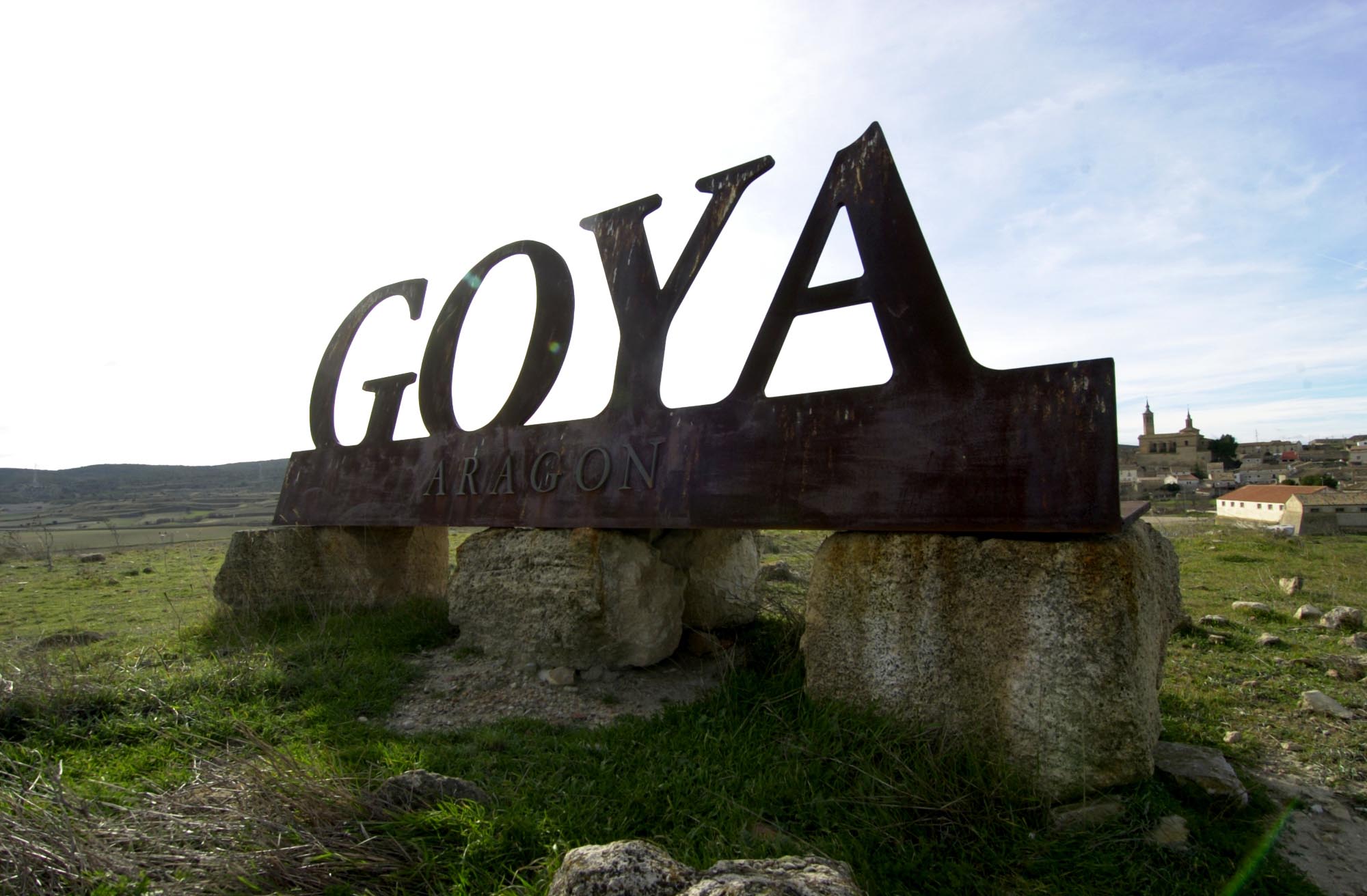
The Ebro River, Goya (The Painter) and The Memories of The Spanish Civil War Route

This route starts in the Campo de Belchite region and continues from Quinto to Mequinenza, accompanied by the Ebro River. The Ribera Baja del Ebro preserves Roman and Visigothic sites and a rich Moorish heritage. The river, as it flows through these lands, is also crossed by several bridges. In the past, however, communication between the banks was by boat. Today we have only the barest of evidence of them in the form of pontoons and towers. Weirs marking the section of the river, water wheels, ditches, wheels, water pipes, mills, hydroelectric power stations, dams, breakwaters, pontoons…. can be found on the banks in these municipalities. On this route we will follow in the footsteps of one of the universal geniuses of painting: Francisco de Goya, and we will take a close look at our recent history in Belchite. We can also admire the monumental Iberian site of Azaila, the Rueda monastery, the impressive Mequinenza reservoir, the “Sea of Aragon” or the historic city Caspe.

Details of interest

  • Distance:
    212 km

    Estimated time without stops :3h 37 min

    Recommended stages :3

Recommended stages

    1. Fuendetodos-Quinto
    2. Quinto-Monasterio de Rueda-Caspe
    3. Caspe-Mequinenza
    1. Mequinenza – Caspe
    2. Caspe – Monasterio de Rueda – Quinto
    3. Quinto – Fuendetodos

Map of route

Directions and points of interest

Congratulations, you are going to enjoy the slow driving route "The Ebro River, Goya (The Painter) and The Memories of The Spanish Civil War Route".
Follow the directions that we give you below and don't miss any of the details of these really marvellous places. Let's go!

Points of the route "The Ebro River, Goya (The Painter) and The Memories of The Spanish Civil War Route"

DEPARTURE

Fuendetodos is a Spanish city in the province of Zaragoza in Aragon. The place is known because it is the birthplace of the Spanish painter Francisco de Goya y Lucientes. He was born in 1746.

near_me DEPARTURE

Fuendetodos is a Spanish city in the province of Zaragoza in Aragon. The place is known because it is the birthplace of the Spanish painter Francisco de Goya y Lucientes. He was born in 1746.

Fuendetodos local_hotelrestaurant

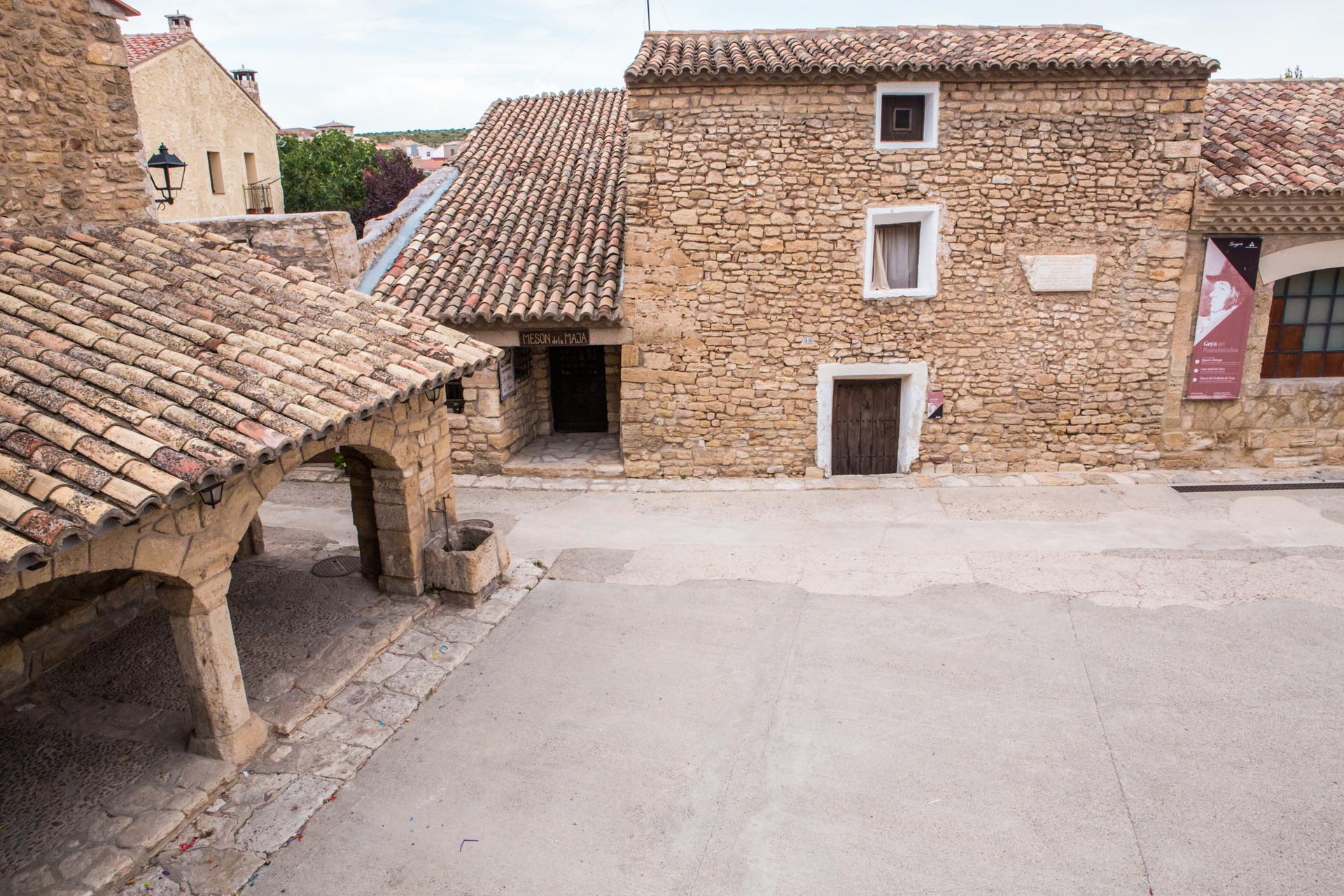
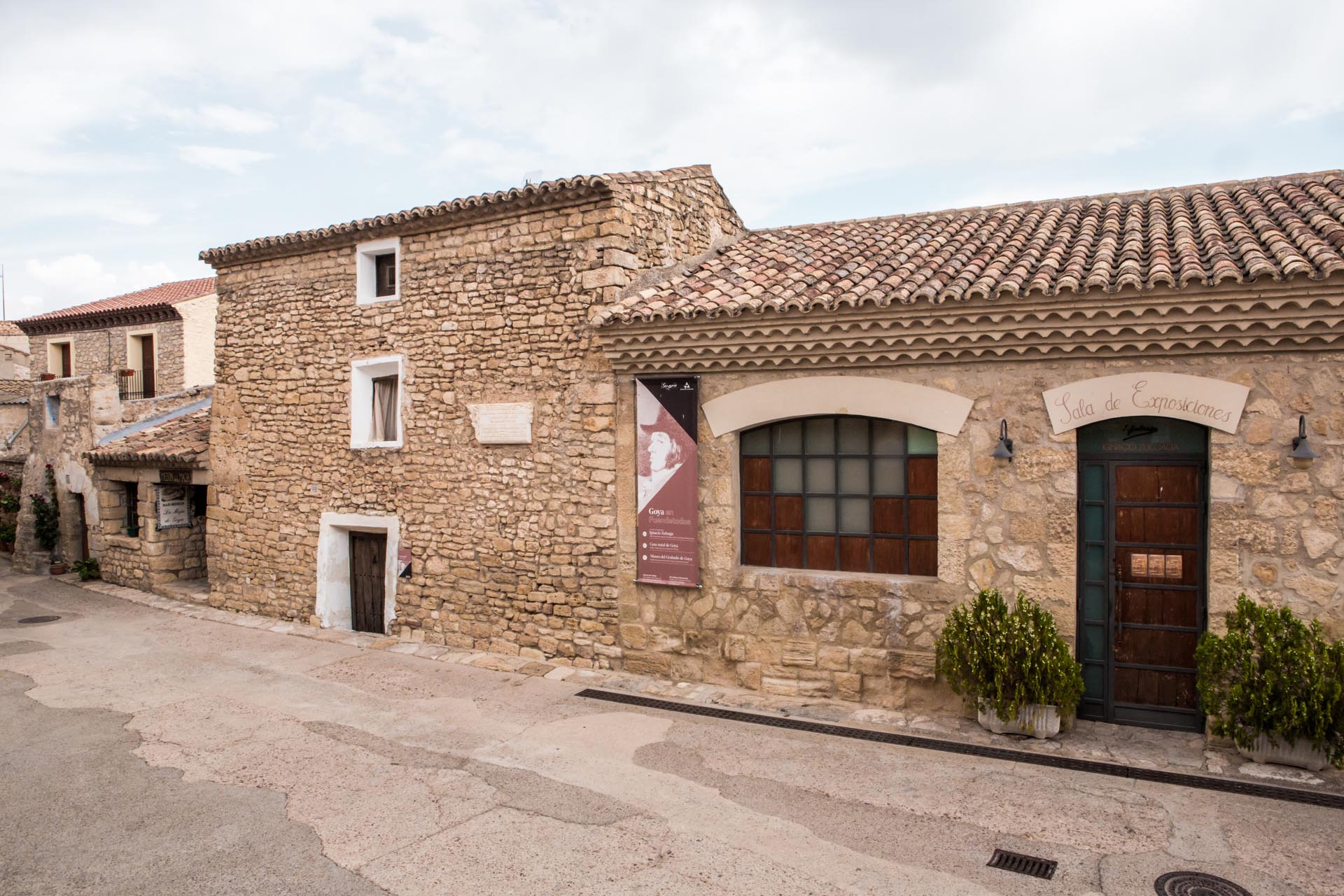
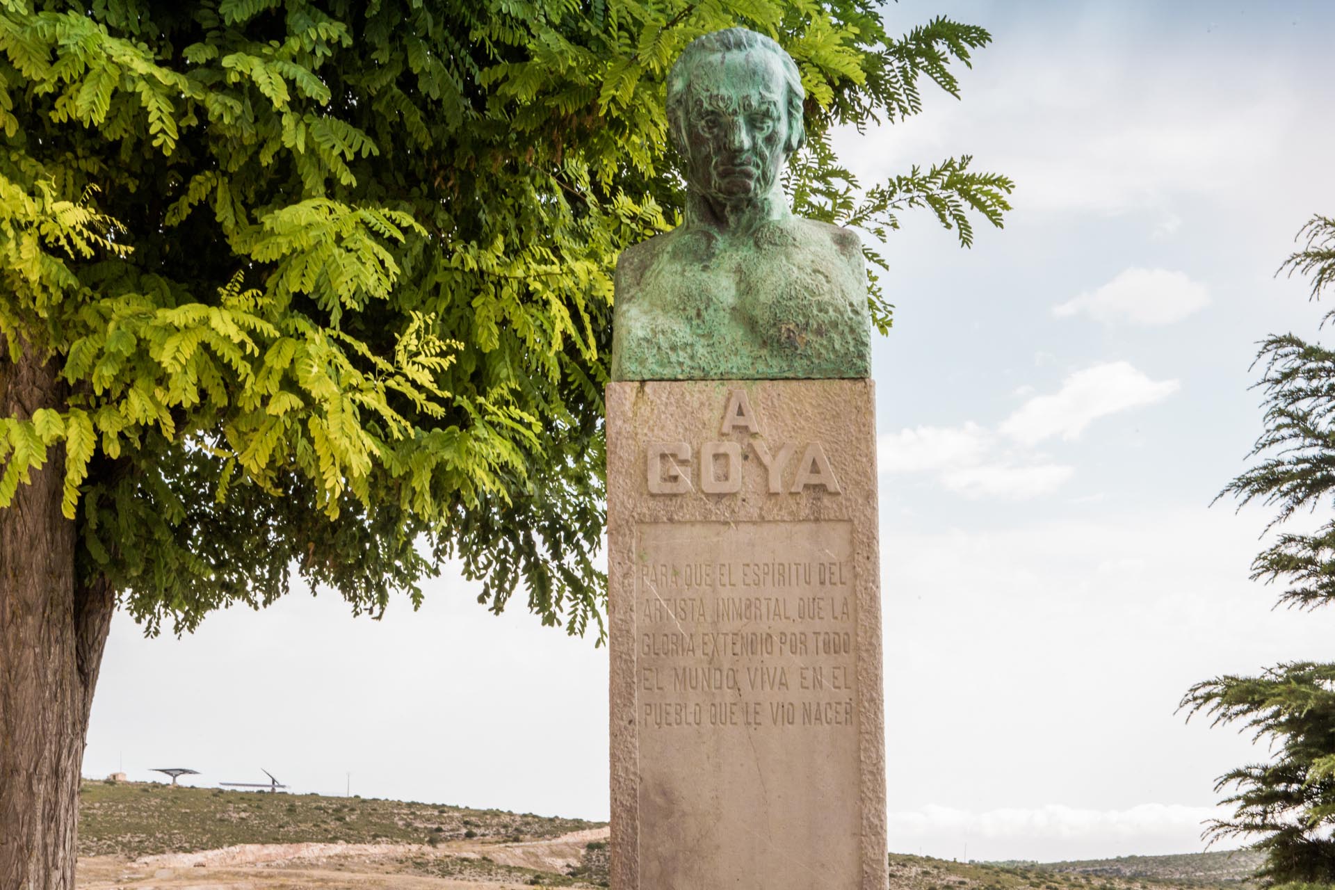
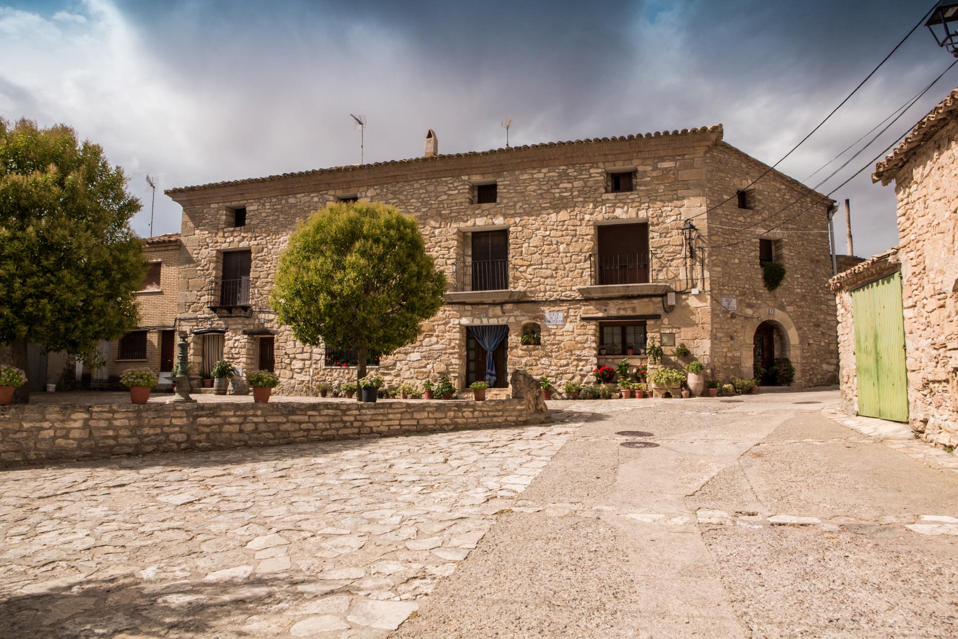
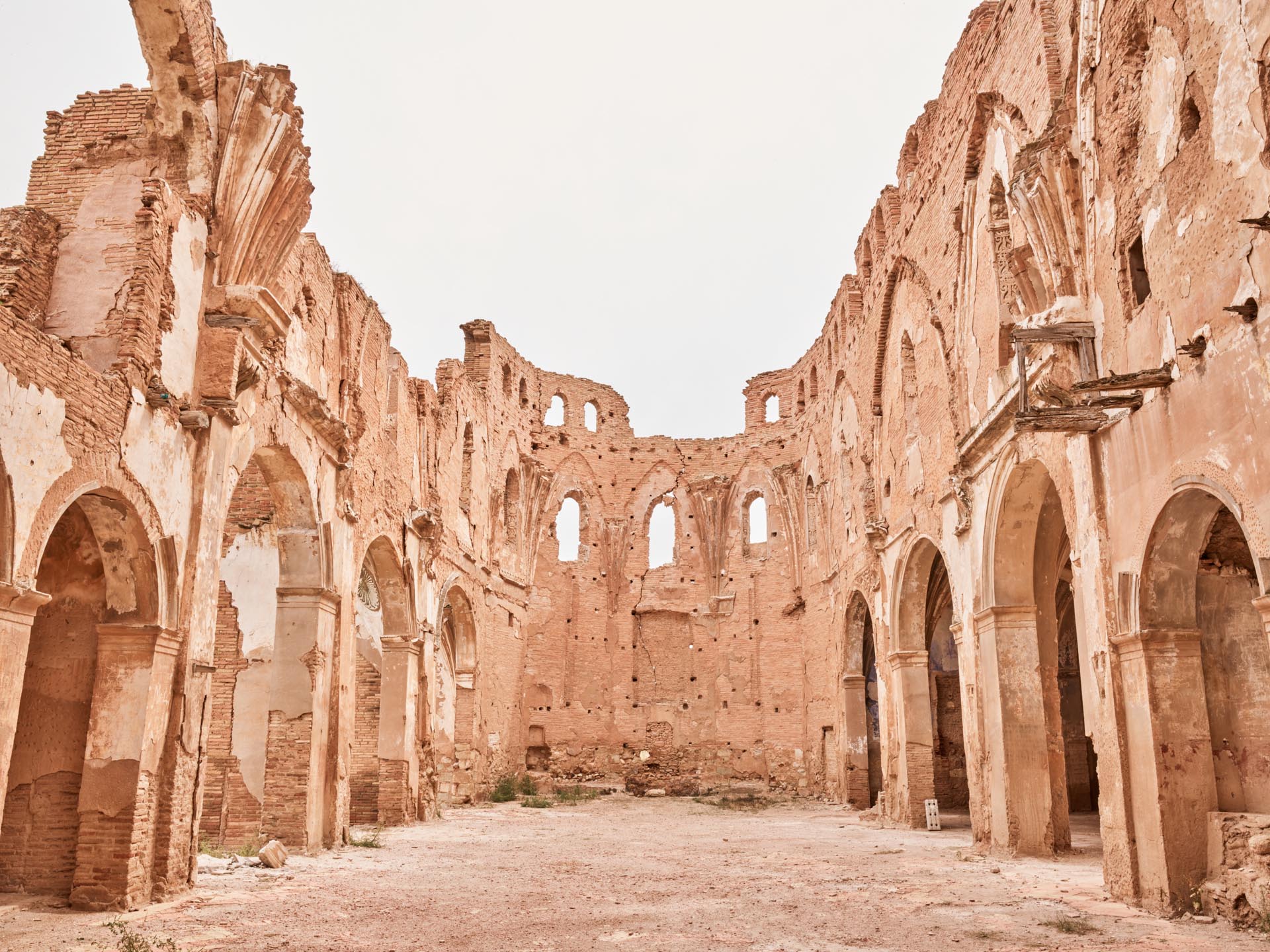
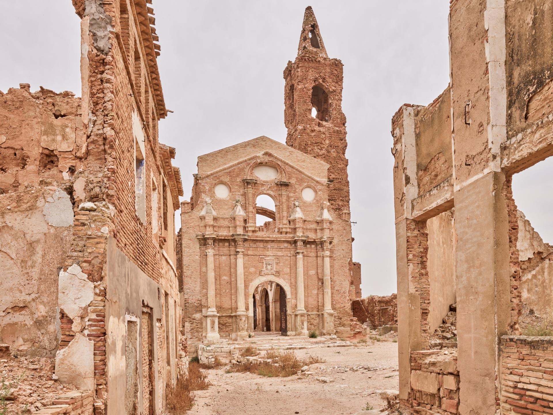
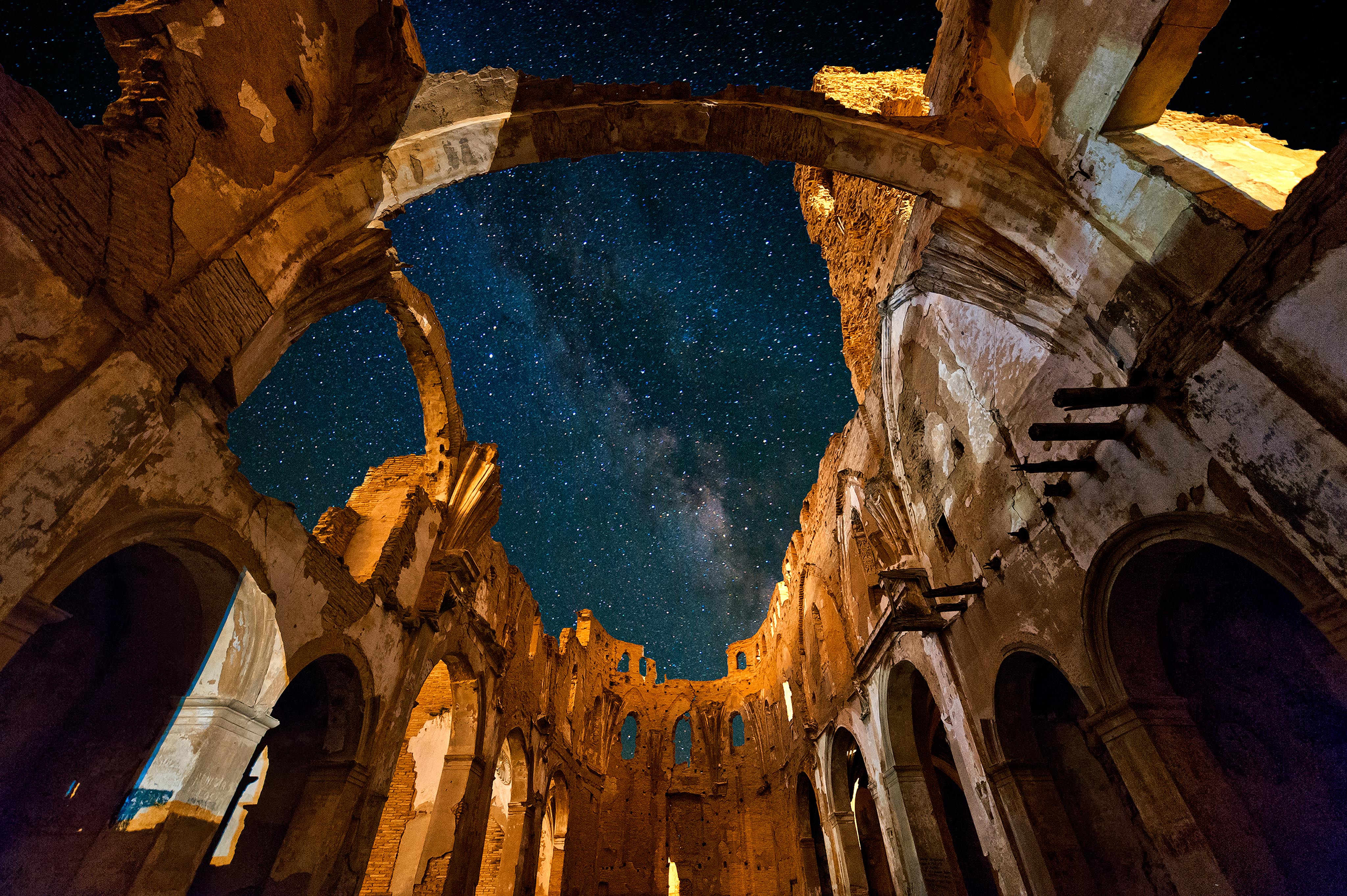
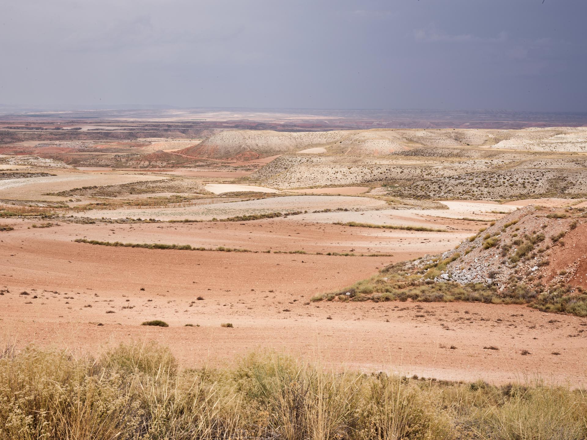
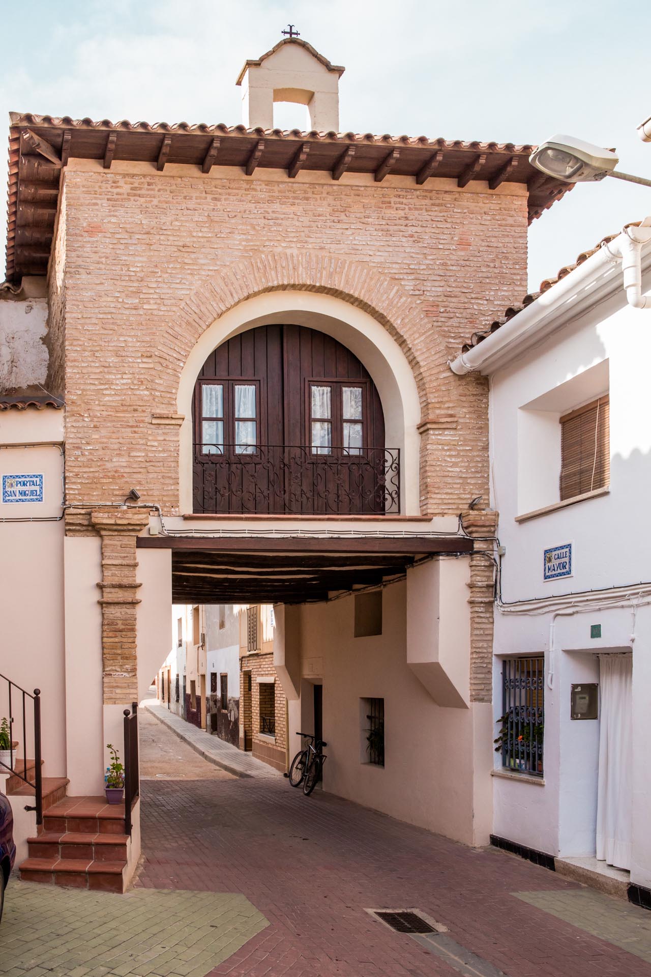
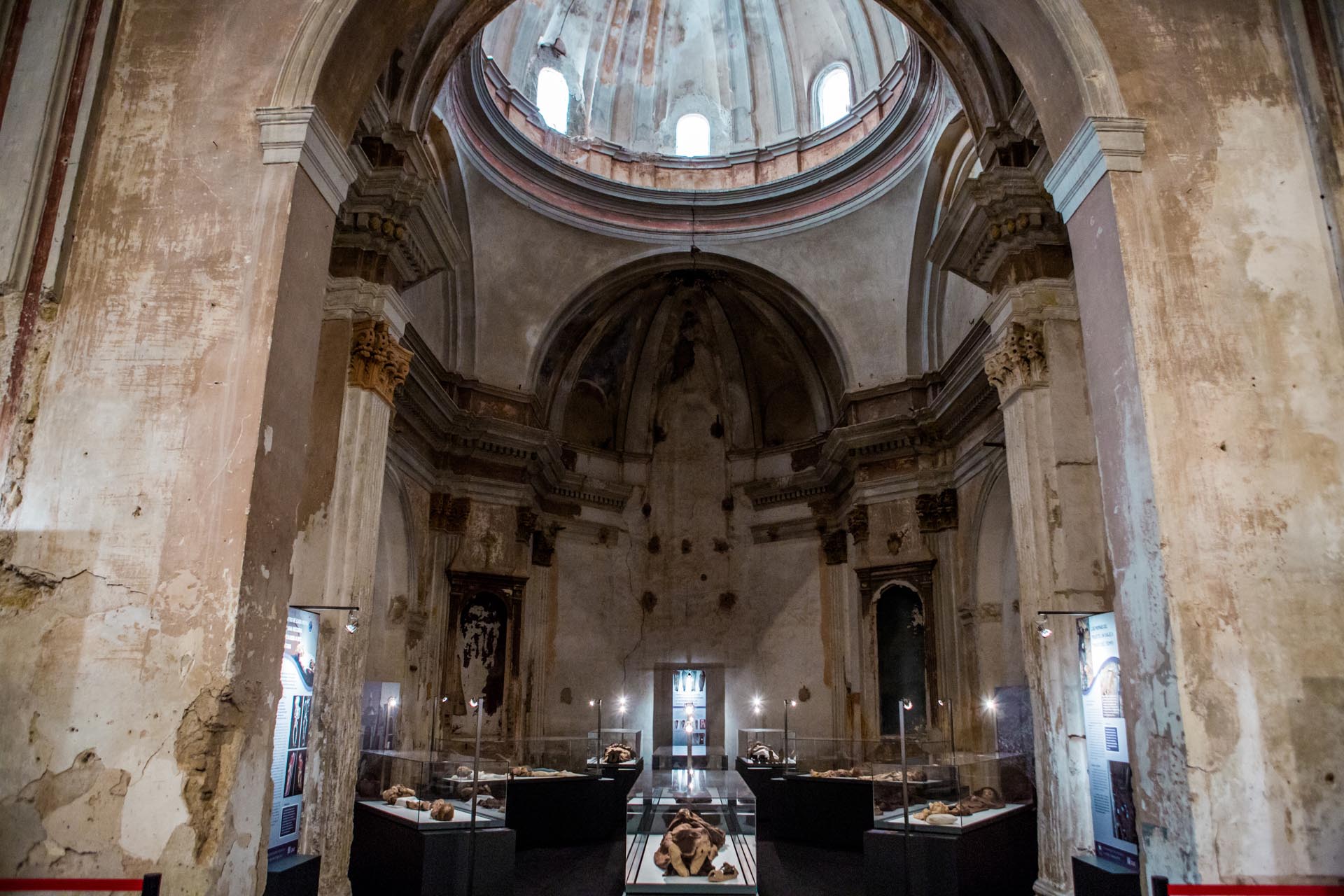
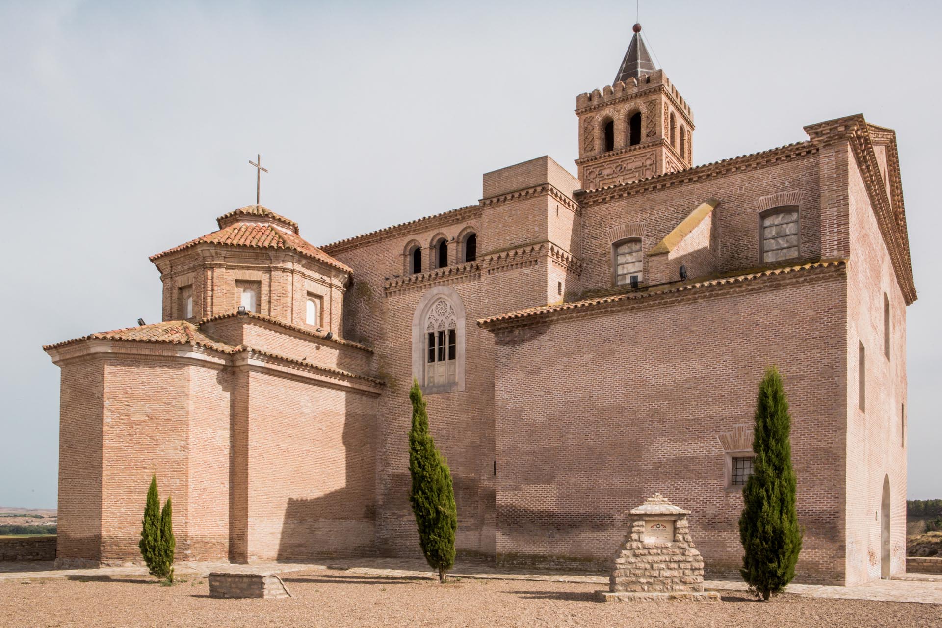
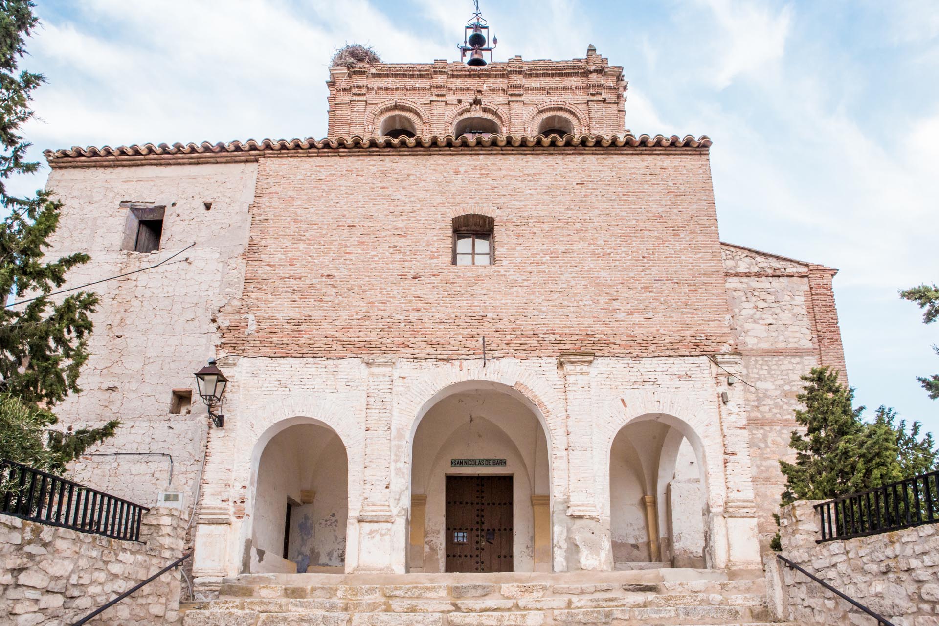
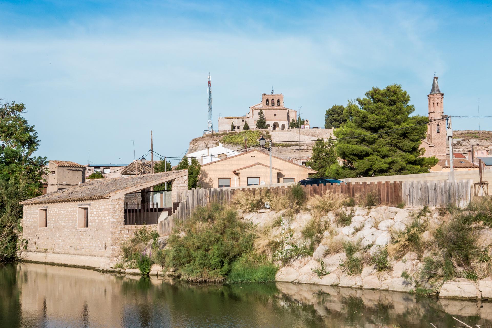
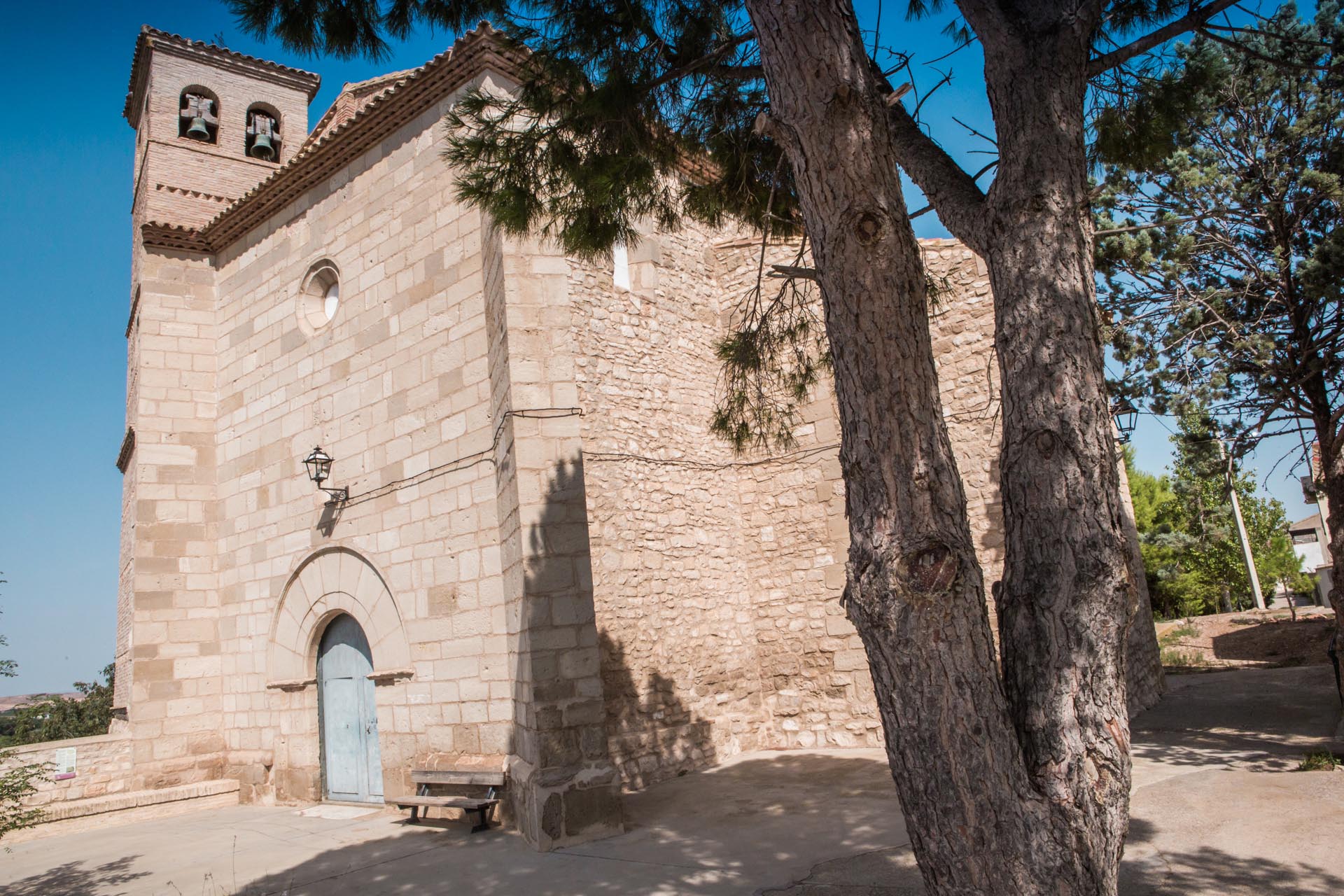
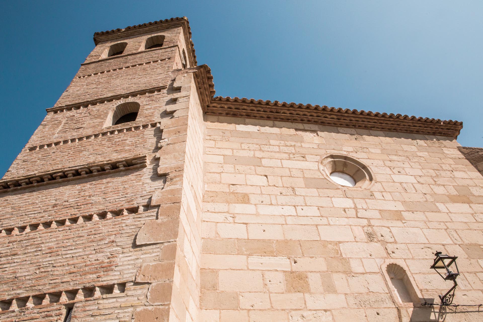
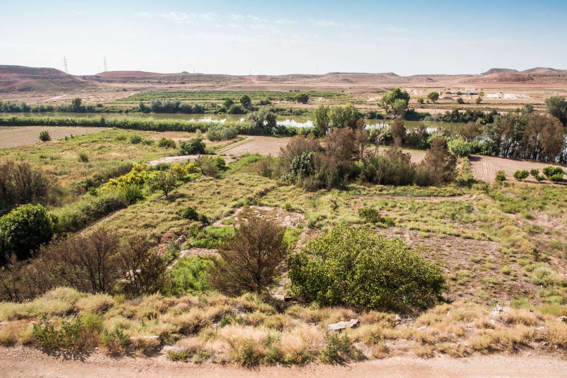
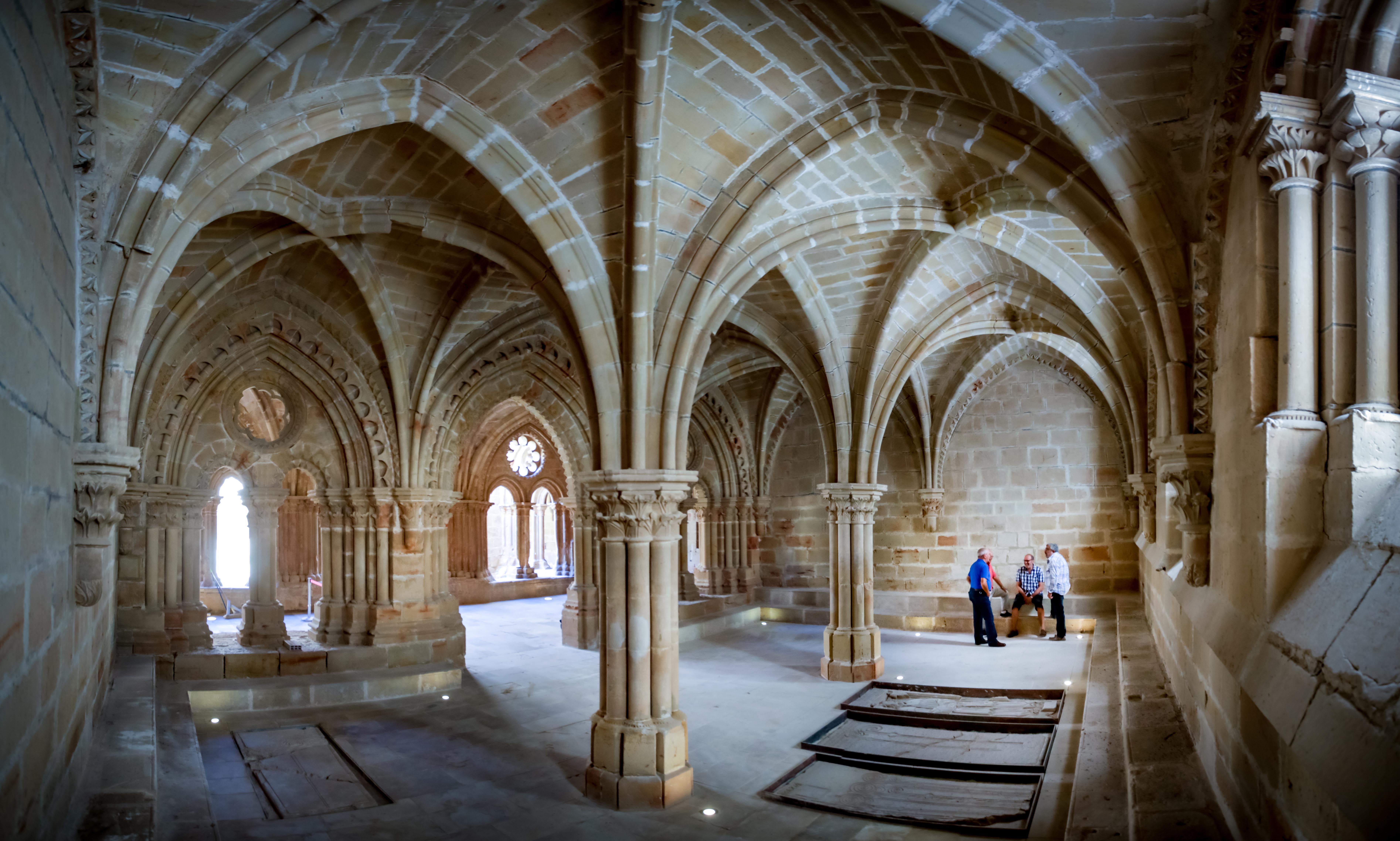
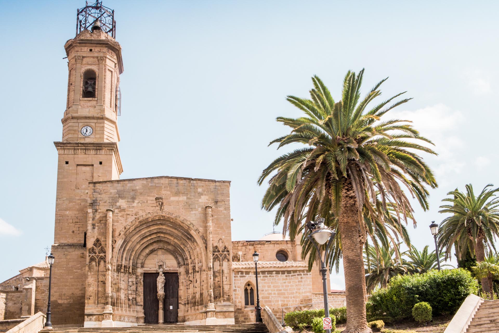
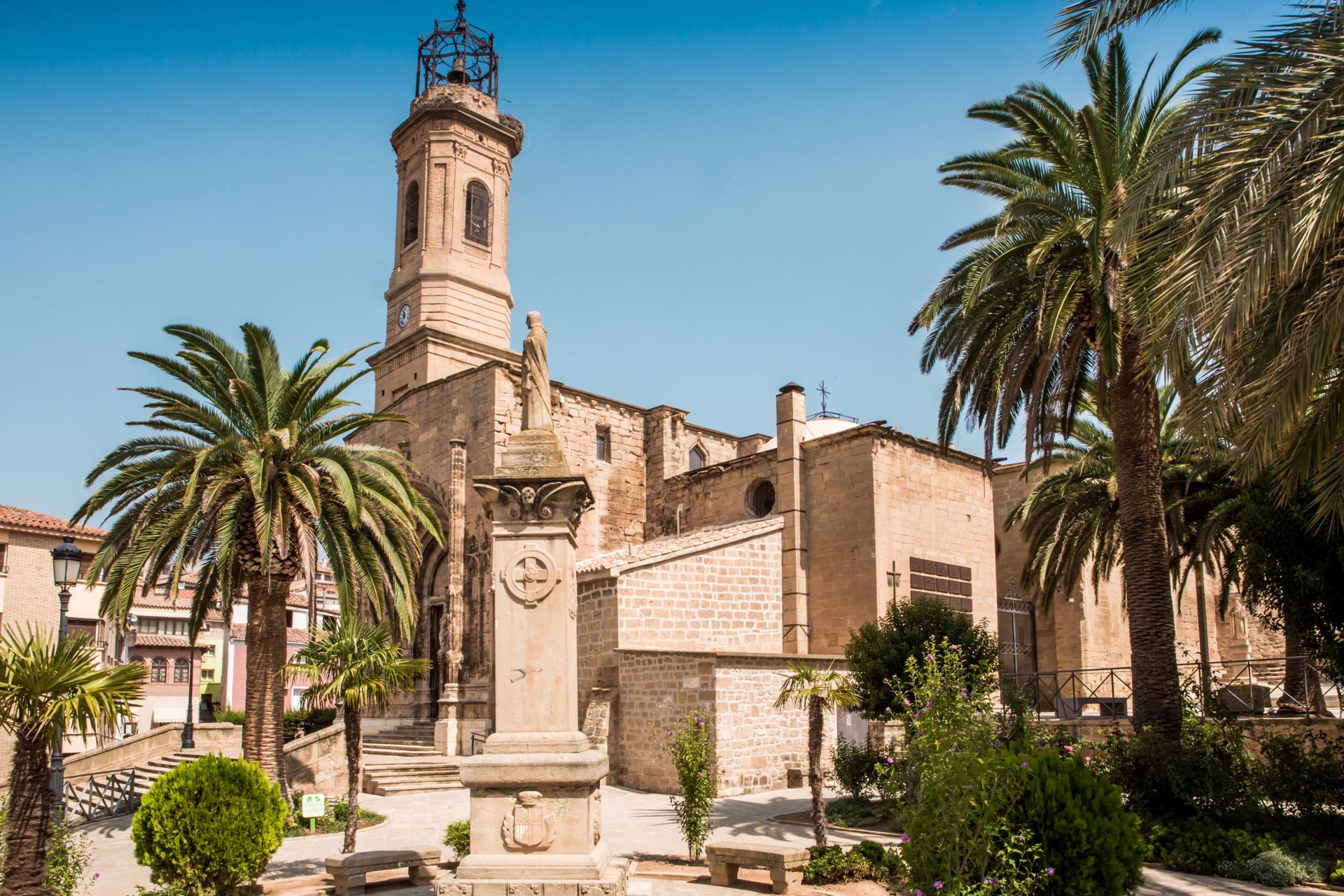
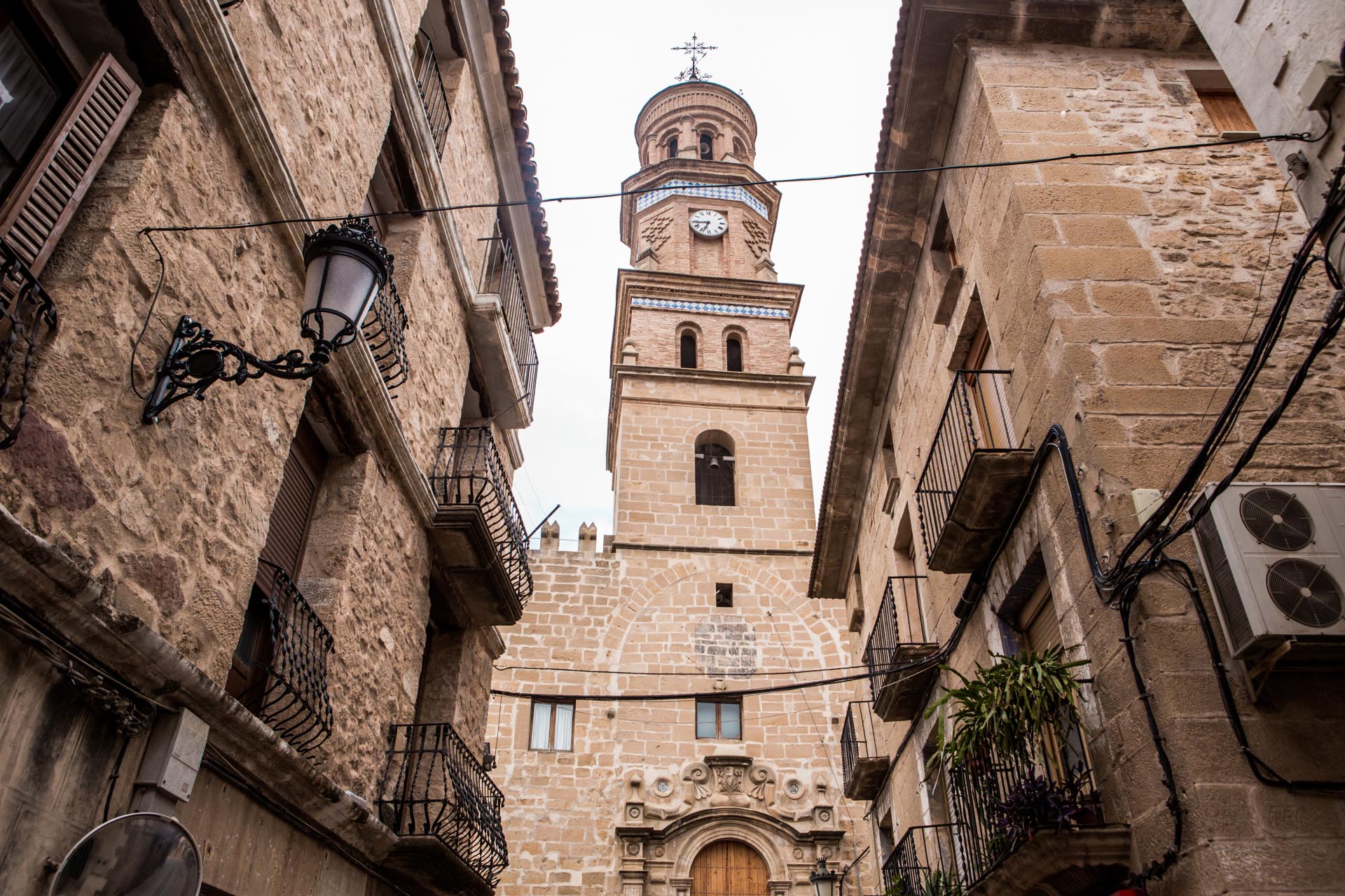
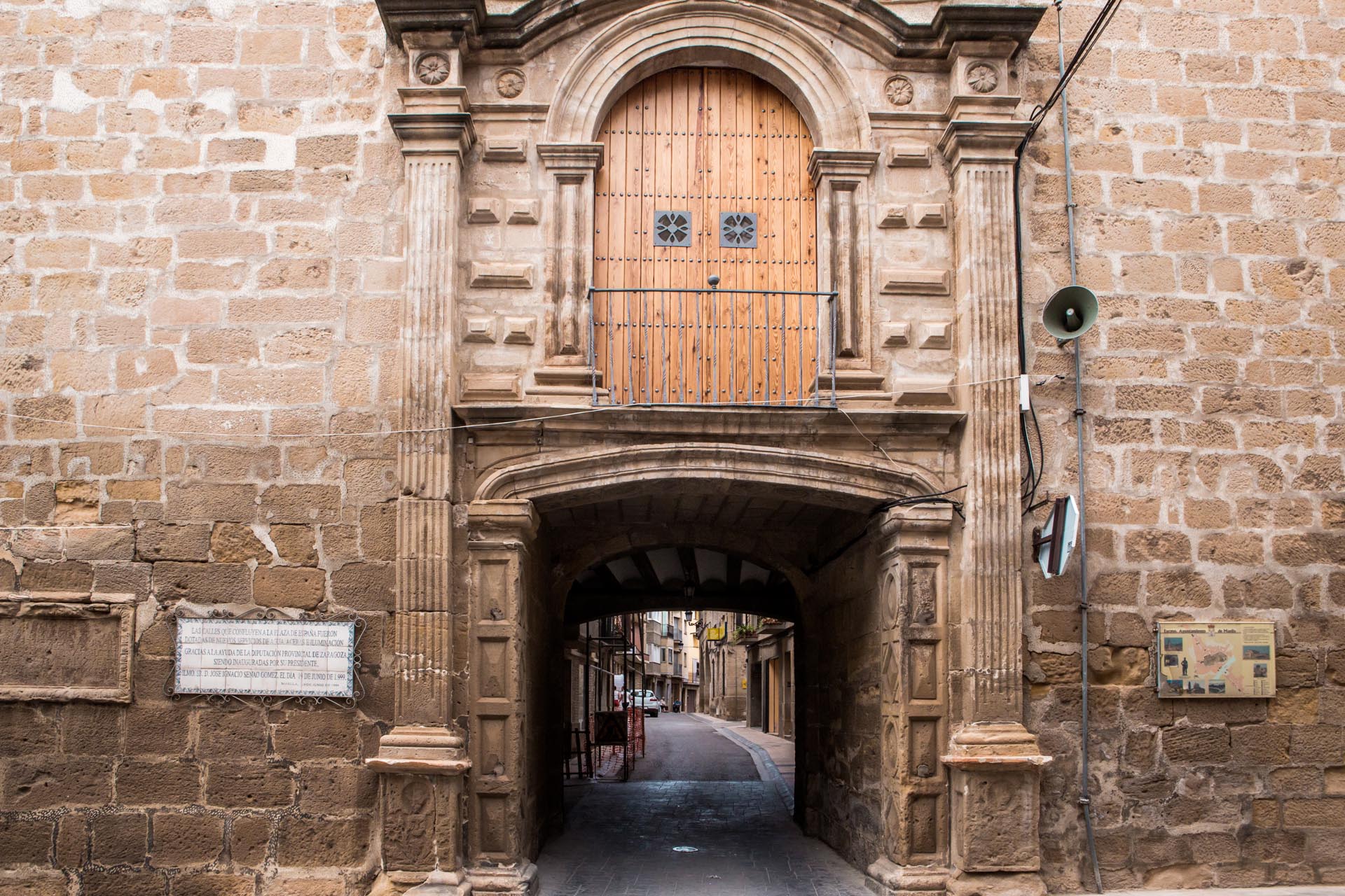
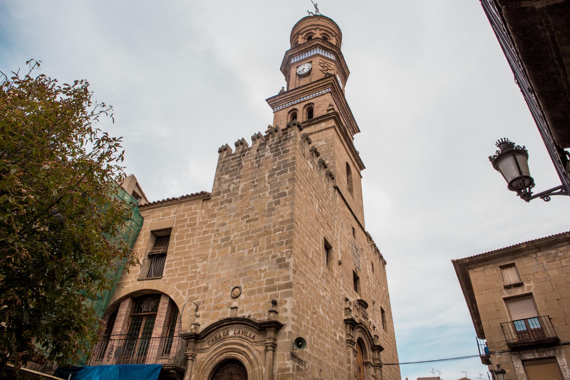
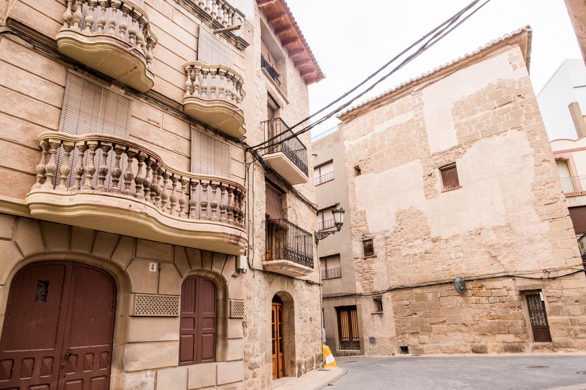
The village is located in the Ebro Valley, 44 km from Saragossa, at the confluence of the rivers Aguasvivas and Huerva. On 30 March 1746, Francisco de Goya, the genius of painting, was born in this city and lived here for the first six years of his childhood. Unfortunately, the Spanish Civil War destroyed Goya’s two most precious testimonies in Fuendetodos: the paintings made in the reliquary of the parish church and in his birth house, which was partially destroyed and plundered in 1946 and restored years later. The building, built at the beginning of the 18th century, has all the characteristics of a farmhouse. Inside, it recreates what rural dwellings looked like at the time the artist lived, and is furnished with furniture and furnishings from the period, paintings and graphic documentation.

A few metres away, we find the Museo del Grabado, the Museum of Etchings and Engravings, which exhibits a selection of his graphic works. Guests can also visit the Zuloaga exhibition hall.

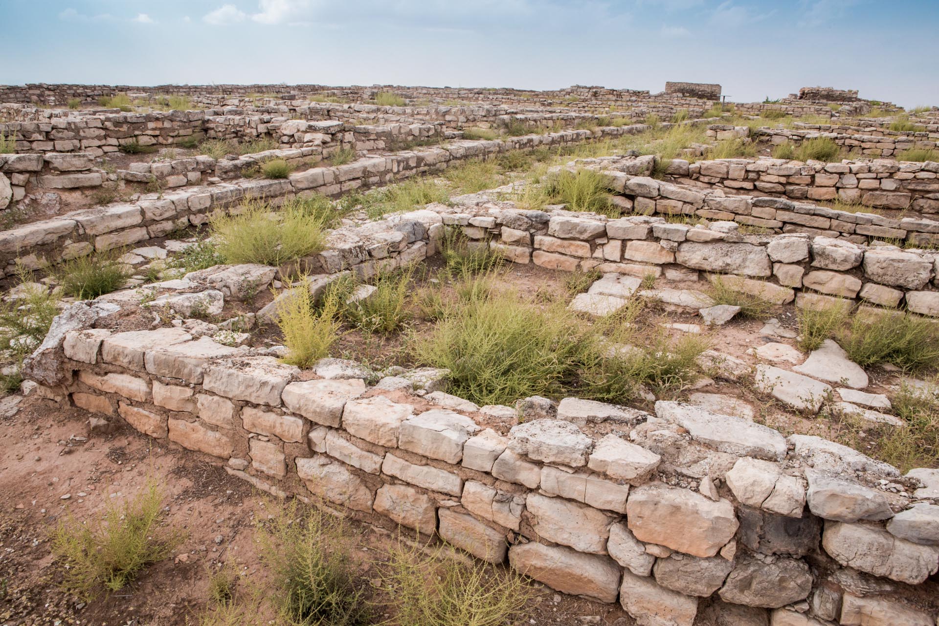
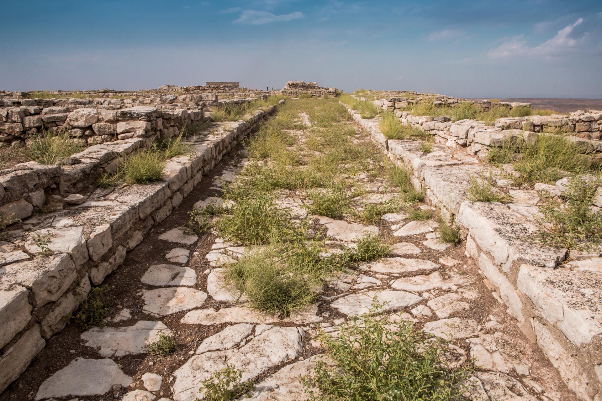
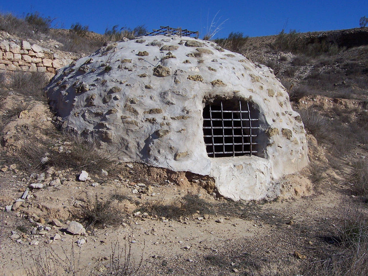
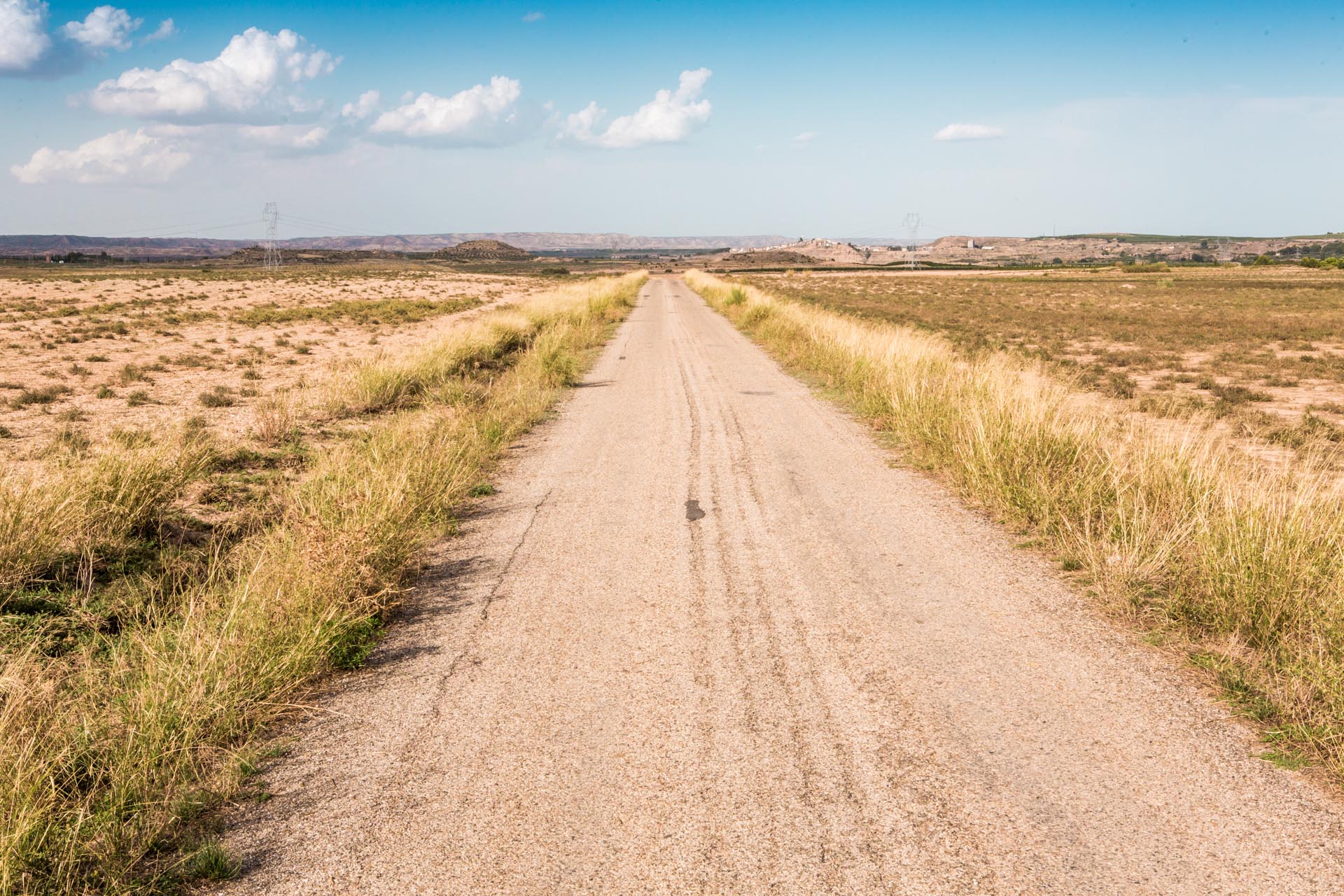
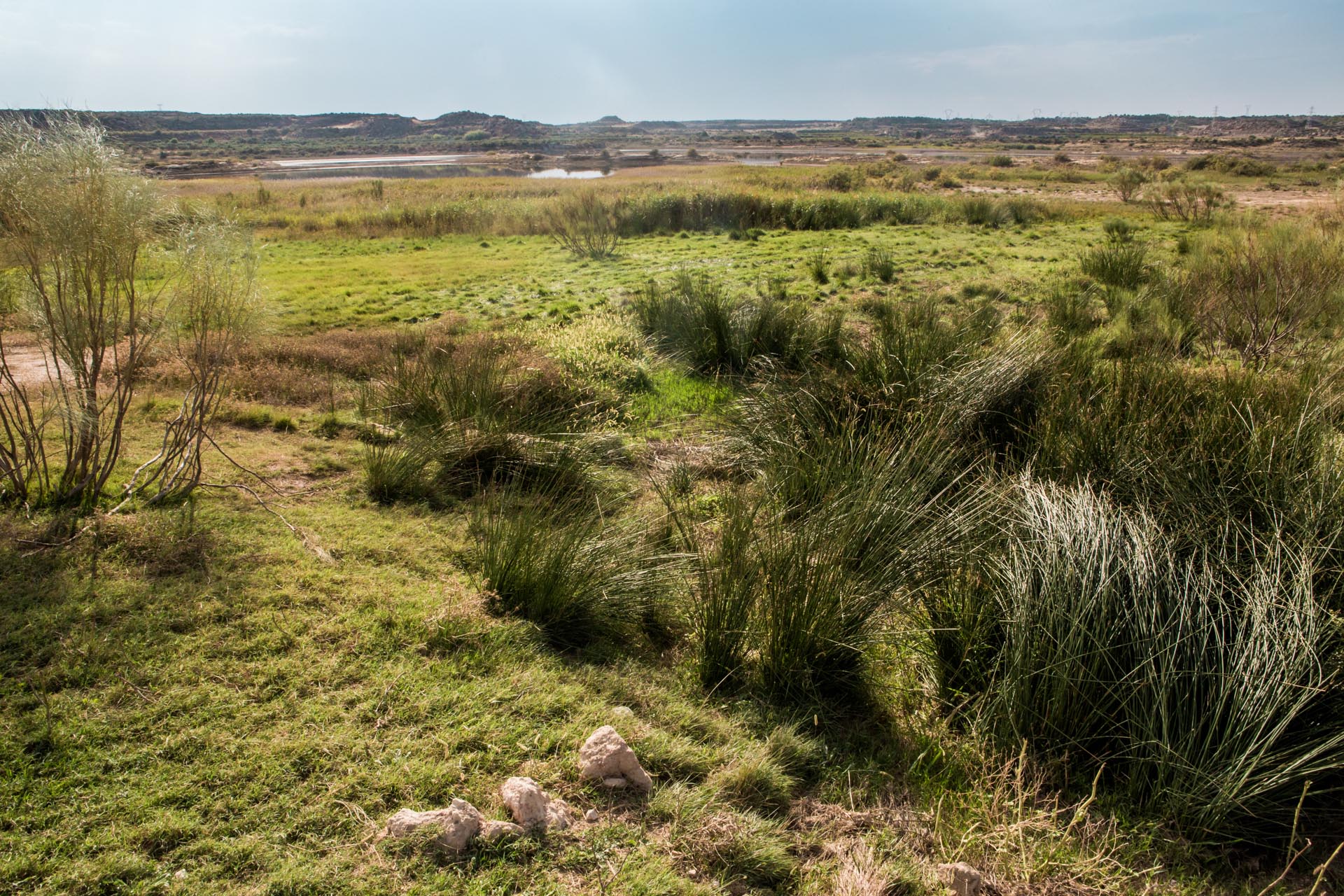
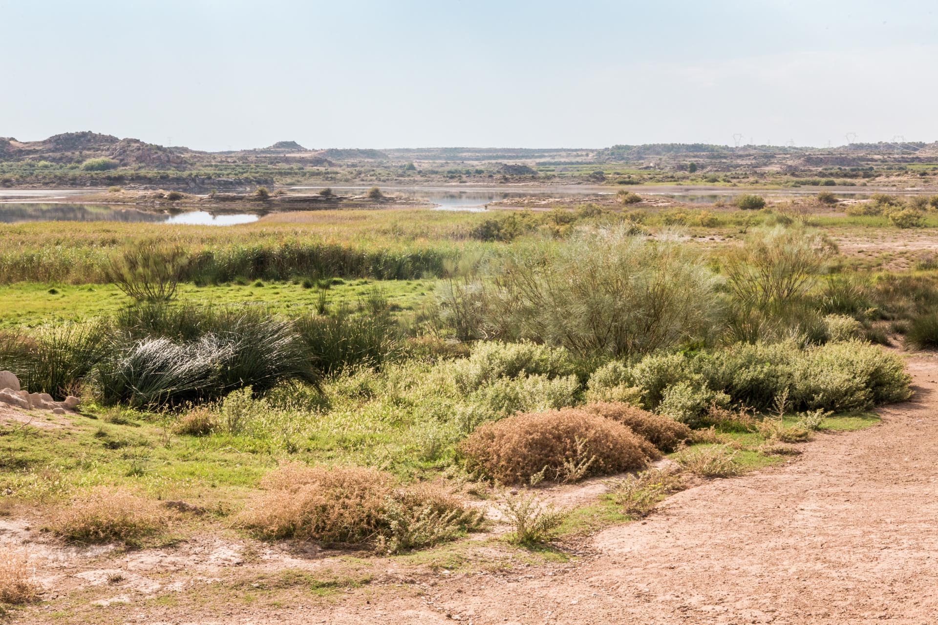
Also of interest are the “neveras“, 18th century constructions in which snow was stored and turned into ice to furnish Saragossa with supplies. Fuendetodos also has a network of more than 100 kilometres of trails and the Fuendeverde Nature Centre, for discovering its natural surroundings.

Point 1

From Fuendetodos, take the A-2101 from Paseo de Vista Alegre, then take the A-220 to Belchite.

near_me Point 1

From Fuendetodos, take the A-2101 from Paseo de Vista Alegre, then take the A-220 to Belchite.

Belchite local_hotellocal_gas_stationrestaurant

A visit to Belchite brings with it the discovery of two different villages: the old one, a memorial of one of the battles of the Spanish Civil War, now abandoned, and the new village, built in 1954 just a few metres away from the first. The olive groves surround the entire municipality and fill the surroundings with brownish-green tones. The steppe is another resource of Belchite, with the La Lomaza Animal Sanctuary and the Planerón Bird Sanctuary.

Belchite was one of the most important municipalities in Aragon during modern times. Numerous palaces and mansions accompanied the most important remains of the Belchite Viejo, the Old Belchite (the San Martín, San Agustín and San Juan churches, the clock tower, the San Rafael monastery, the seminary, the hermitage of the Virgen del Pueyo or the gates that surround the city and allow access).

The most important war event for the town was the battle during the Spanish Civil War in June 1937, which marked the beginning of the end of many centuries of history. The historic city of Belchite has been depopulated, and its buildings, affected by war damage, abandonment, unfavourable weather and the passage of time, are still witnesses of an important and far-reaching past.

Point 2

In Belchite, take the Calle de Ntra. Sra. de los Desamparados to take the A-1307 for the 24.5 km to Azaila.

near_me Point 2

In Belchite, take the Calle de Ntra. Sra. de los Desamparados to take the A-1307 for the 24.5 km to Azaila.

Azaila local_gas_stationrestaurant

The village is located on the right bank of the Aguasviva River above a deep gorge. The village is made up of quarters with homogeneous buildings, some of them of considerable size, with a courtyard, two floors and a whitewashed façade. The church of Rosario is a 17th century Baroque work in brick and masonry.

Azaila is known above all for its monumental Iberian site. Located close to the village, Cabezo de Alcalá is one of the most important, if not the most important, Iberian sites in Aragon and is classified as an Asset of Cultural Interest. El Cabezo shows us the superposition of three cities in three different phases: a first of Central European origin (7th century to 218 B.C.), a later one corresponding to the Iberianisation and subsequent Romanisation, which extended from 218 to 72 B.C., and a last settlement on the previous remains. Its destruction dates back to the year 76-72 BC during the wars of Sertorius, although other studies date the destruction to the year 49 BC (Battle of Ilerda).

The visit to the Ibero-Roman site begins at the Interpretation Centre, which is located in the site itself and where you can get a global view not only of the site, but also of the region in which the site is embedded. In September, Azaila celebrates the Iberian celebration of the Sedeisken.

Point 3

In Azaila, take the N-232 to cover the 16 km to Quinto.

near_me Point 3

In Azaila, take the N-232 to cover the 16 km to Quinto.

Quinto local_hotellocal_gas_stationrestaurant

Right on the border between the lush valley and the surrounding steppe, we find the village of Quinto. Its origins and name go back to the times of the Roman occupation; the name refers to the fifth (Spanish: quinto) milestone on the Roman road that connected “Lepida Celsa” with “Caesaraugusta”. In the eighth century the Moors settled on the hill Cabezo del Piquete, next to today’s Iglesia de la Asunción church (“El Piquete”). This monumental building, which dominates the whole town, was built in the fifteenth century and has undergone many changes over the centuries. During the civil war, the building served as a defensive bastion and was completely destroyed. It has been added to the Mudéjar Aragonés list (and declared a UNESCO World Heritage Site in 2011). After years of renovation, it was inaugurated in 2017 by the city council for social and cultural purposes. Inside it is the Quinto Mummy Museum, the first Spanish museum of its kind. It consists of a permanent exhibition of fifteen mummified bodies from the 18th and 19th centuries, burial objects and religious rituals in the building itself.

During a walk through the village we can find three medieval portals:  San Miguel, San Antón and San Roque, as well as pretty elements of folk architecture, Renaissance palaces, and numerous other details, such as coats of arms, grilles…

Point 4

Leave Quinto on the A-221, and then take the A-1105 and CP-611 to Velilla de Ebro.

near_me Point 4

Leave Quinto on the A-221, and then take the A-1105 and CP-611 to Velilla de Ebro.

Velilla de Ebro

At Velilla, the wide plain of the Ebro Valley begins to narrow gradually and is the preamble of the meanders embedded downstream.

The municipality dates back to 44 BC, when Marco Emilio Lépido founded the Roman colony “Victrix Iulia Lepida” (later called Celsa), consolidating control over the Ebro and the Via Augusta. The archaeological site “Lepida Celsa” is characterized by the interest of its urban network of paved streets, by its beautiful mosaics, like the house of the dolphins, by the block of shops…. The visit is completed by the Museum, where the most important finds of the excavations are exhibited.

Before ending our visit to the town, we can visit the flour mill and the restored bucket wheel, the Mudéjar church and the San Nicolás de Bari hermitage and lookout point, where the visitor can hear the legend of the Velilla bell: according to the legend, the bell rang by itself to announce bad news.

Velilla also preserves, among its traditions, one of Aragon’s oldest dances, performed at the San Nicolás festival, with the paloteado (wooden sticks) swords or castanets to the sound of the dulzaina (traditional Spanish woodwind instrument from the oboe family).

Point 5

From Calle Abejar take the direction VP-17. Further ahead, at the roundabout, take the third exit to reach Alforque on VP-017A.

near_me Point 5

From Calle Abejar take the direction VP-17. Further ahead, at the roundabout, take the third exit to reach Alforque on VP-017A.

Alforque local_hotel

When the Ebro River reaches Alforque, it changes its appearance and begins to squeeze itself between vertical walls. Thus the river forms an unusual landscape known as the embedded meander (a true paradise for fauna with its islands or mushrooms).

The oldest settlement in Alforque dates back to the early Iron Age (6th century B.C.) and gained importance in Roman times through the Ebro and the Roman road. The Arab occupation left a clear trace that is present in the name of the city, which will outlast the centuries. At the end of the Middle Ages, the complex irrigation system, based on a weir and water wheel and a subsequent mill, was put into operation. On its banks, there are numerous water basins known as zafaraches, used for breeding and fishing fish eels, which were abundant in the river until the middle of the 20th century.

The late Gothic San Pedro church stands out for its tower, a true watchtower overlooking the valley, and constituting an impressive vantage point, the “Mirador de la Empalizada“. As a curiosity, we can stop to discover the inscriptions carved into its walls, or approach the river to visit the house of the boatman or the boat that led to the other bank in its former times.

Point 6

Leave Alforque on VP-017A to reach Alborge after 4.7 km.

near_me Point 6

Leave Alforque on VP-017A to reach Alborge after 4.7 km.

Alborge local_hotel

The small village Alborge is home to a number of interesting traditional buildings that bear witness to the importance of many ancient crafts that have disappeared today: an oil mill, the water mill with a grain mill, the ice fountain… Its name indicates its Arab origin (al-burj; the tower), of which only the ruins of the castle remain. As early as the 12th century, Alphonse II handed over the city to the ecclesiastical rule of the Rueda monastery.

A visit to the late 17th century San Lorenzo church and the Town Hall, built in 1885 in Neomudéjar style, is essential. Also unique are the peirones or road crosses, which are distinguished by their beauty, such as that of San Antón, the Casa de los Recaudos (today converted into a rural tourist apartment) or their examples of folk architecture, which are spread throughout the municipality, such as doors, balconies, grilles, coats of arms… On the outskirts of Alborge there is a beautiful route along the riverbank to the old ferry to Cinco Olivas (which used to be in use). From there we can enjoy its green groves, which lead through a small bridge to a mejana (island). From the Mirador de las Tres Aguas lookout point, we have a fantastic view of the river with the weir of the mill.

Point 7

From Alborge take the A-221 to reach the Monastery after 10 km.

near_me Point 7

From Alborge take the A-221 to reach the Monastery after 10 km.

Real Monasterio de Nuestra Señora de Rueda (Sástago) local_hotelrestaurant

Built at the beginning of the 13th century by the Cistercian Order, the Monasterio de Rueda, after its recent reopening, is one of the largest Cistercian monasteries in Aragon.

Built under the protection of the Ebro River and declared a National Monument in 1924, the monastery houses an impressive group of buildings from different eras and with different functions. The monastery was built to strengthen the spirit of the Order of Saint Benedict: “Ora et Labora”, and for centuries was the economic engine of the region, on which many municipalities were dependent.

The three-nave church with its octagonal tower in Mudéjar style is particularly noteworthy for its size. The Cistercian cloister, thanks to the decoration of its galleries, is the most beautiful element around which all other outbuildings are grouped. A grain mill and other buildings, such as the old oil mill or the ice fountain, are embedded in the life of the monastery. The Mendizábal confiscation in 1836 marked the end of the sacred use of the buildings, which was used as an agricultural building until 1988. In that year the complex became the property of the General Council of Aragon.

Point 8

From the Monasterio de Rueda, go northwest on the A-221, and after only 3 km you will reach Escatrón.

near_me Point 8

From the Monasterio de Rueda, go northwest on the A-221, and after only 3 km you will reach Escatrón.

Escatrón local_hotellocal_gas_stationrestaurant

The village is located opposite the Rueda Monastery, on the opposite side of the Ebro. The history of the place is closely linked to the river and its traditional use as a communication route, as downstream its waters become calmer until they merge with the water of the Mequinenza reservoir.

After the Iberians and Romans, it was at the time of the Moors that the landscape of Escatrón was transformed into a fertile garden with the development of ditches and weirs. From the foundation of the Rueda Monastery until the confiscation by Mendizábal in 1836, the population became part of his ecclesiastical rule.

In the town, one can visit the monumental baroque La Asunción de Nuestra Señora church, which houses the altarpiece of the main altar of the Rueda Monastery, made in alabaster by Master Esteban in the seventeenth century.

Other buildings worth seeing are the Santa Águeda Hermitage and the San Javier Monastery. Walking through the town, we will discover beautiful examples of civil architecture, such as Casa de los Abades, the prison, the Renaissance Palace and the Santa Águeda Arch. Outside the town, towards Chiprana, over the Martín River, we find the ancient Roman bridge and a little further ahead, the 19th century Mocatero Fort.

Point 9

Leave Escatrón on the A-221 to cover the 20 km to Chiprana.

near_me Point 9

Leave Escatrón on the A-221 to cover the 20 km to Chiprana.

Chiprana local_hotelrestaurant

Chiprana is situated on a slope at the foot of which the “Mar de Aragón” (the Sea of Aragon) spreads out. This is why it is also known as the “Bride of the Ebro River“.

In the centre of the village we find well-preserved corners with murals and sculptures that constitute a true Open-Air Museum. Its parish church, dedicated to St. John the Baptist, is Gothic with a monumental Baroque façade. The interior holds some surprises for us: the wood-panelled ceiling, the Mudéjar painting from the 16th century and a group of coats of arms from the 14th century. We can also admire the remains of a Roman mausoleum that was transformed into the Consolación Hermitage.

About 10 km from the town centre is the Saladas de Chiprana Lagoon Complex, a Nature Reserve that is unique thanks to the unique ecosystems in these saline endorheic waters (lakes without drainage). Nearby is the San Marcos park, a resting place for visitors to the Lagoon Complex, where the Saladas de Chiprana Interpretation Centre is located.

Chiprana is also an ideal place for fishing, especially catfish and carp.

Point 10

Take in Chiprana de Avenida Juan Carlos I direction A-221. After 9 km you reach Caspe.

near_me Point 10

Take in Chiprana de Avenida Juan Carlos I direction A-221. After 9 km you reach Caspe.

Caspe local_hotellocal_gas_station

Caspe, on the shores of the Mequinenza reservoir (the “Sea of Aragon”) combines the tourist attractions of sport fishing and nautical activities with an important cultural heritage rooted in prehistory and history.

In the old town centre, the names of the streets and quarters tell of aljamas and juderías (the quarters of the Moors and Jews) and the friars of the Order of St. John. The most important monument is the group of the Colegiata de Santa María la Mayor del Pilar (14th century) and the remains of Bailio Castle, which had been recently restored. Inside the Colegiata there are two important relics: the Vera Cruz (True Cross) and the Cáliz del Compromiso (Holy Cups of Peace).

Every year, the historical event bearing its name is remembered: The Compromise of Caspe (1412), which ended the war between the kingdoms of Aragon and Valencia and the Principality of Catalonia. It is a popular medieval festival that takes place at the end of June.

We must also highlight the important archaeological heritage of the municipality. The most outstanding are the sites included in the Route of the Iberians – the Tallada and Loma de los Brunos – and the rock paintings of Plano del Pulido.

Caspe also has a wide range of museums, important civil architecture and a grandiose wreath of hermitages.

Point 11

near_me Point 11

Maella local_gas_stationrestaurant

The origin of the name Maella goes back to the expression “Mà d’ella”: “her hand”, in reference to an astonishing legend of its medieval past.

In a landscape animated by olive trees, the slender clock tower of the Town Hall and the medieval castle of Pérez de Almazán give the profile of Maella its unique appearance. Solid and imposing walls and one of the best Gothic façades in Aragon have been preserved from the castle. Its cellars have recently been restored.

In its stone farmhouse, we find the house where Pablo Gargallo was born, a museum with several works by the sculptor.

The San Esteban parish church, whose origins date back to the late Romanesque period, boasts several overlapping styles from the various phases of its construction. Inside there is a small diocesan museum.

Other interesting monuments are the church of Santa María in Gothic style, the hermitage of Santa Bárbara (on Mount Calvario) and the ruins of the monastery of La Trapa, next to the road to Fabara, whose chronology dates from the 13th century and is built in Cistercian style.

Point 12

Leave Maella on the Avenida Caspe A-221 to take the turnoff to the A-1411 until Fabara.

near_me Point 12

Leave Maella on the Avenida Caspe A-221 to take the turnoff to the A-1411 until Fabara.

Fabara restaurant

Fabara, in whose name we find Arabic roots, is located between two rivers: the Algar and the Matarraña. The settlement dates back to ancient times, as shown by the archaeological sites, including the Roquissal del Rullo, considered the most important of the Iron Age in Aragon. It is worth getting lost in its streets, where you will find fascinating corners.

Among the historical remains is the famous Roman Mausoleum (the best preserved in Spain) from the 2nd century AD, also known as “La Casa de los Moros” (The House of the Moors). It was declared a National Monument in 1931.

The parish church, fortified and dedicated to Saint John the Baptist, is a solid example of the Mediterranean Gothic style. Nearby is the medieval palace tower, restored as a Town Hall, which houses the Museum of Painting of Virgilio Albiac (the illustrious son of the city) and the Museum of Crafts of José Vals, also from Fabara.

As singular element in Fabara, mention should be made of its Ecological Treatment Plants, and the Observatory of Necrophagous Birds, which is located some 8 km from the urban area.

Point 13

We leave Fabara on the Carretera del Puente A-2411 and continue on the A-1411 for 32 km to Fayón.

near_me Point 13

We leave Fabara on the Carretera del Puente A-2411 and continue on the A-1411 for 32 km to Fayón.

Fayón local_hotellocal_gas_stationrestaurant

The new village of Fayón was built in the 1960s to house the inhabitants of old Fayón, who were forced to leave their homes when the old village on the banks of the Ebro River was flooded by the construction of the Ribarroja reservoir.

From the lookout point next to the the Virgen del Pilar hermitage, there is an impressive view of the mouth of the Matarraña River in the Ebro and the cliffs and slopes that surround the basin. From here you can also see two silent witnesses of the old town: the remains of the medieval castle and the church tower that rises from the water.

In the surroundings of the village there are numerous emblematic and picturesque places to visit: the Peña de Bugarrech, remains, vestiges and ditches of the civil war, the hermitage of San Jorge…. all this among green pine groves and mountainous hills. The city also has an exceptional Museum of the Battle of the Ebro River, which took place in 1938.

Fayón is a true “fishermen’s paradise” and offers the ideal setting for water sports.

End of route

Take from Fayón de CV-103 to reach further ahead on the A-1411 after 20 km Mequinenza.

near_me End of route

Take from Fayón de CV-103 to reach further ahead on the A-1411 after 20 km Mequinenza.

Mequinenza local_hotelrestaurant

Mequinenza is located at the confluence of the Ebro, Segre and Cinca Rivers. The city is located between two large reservoirs: the Mequinenza Reservoir (known as the Sea of Aragón) and the Ribarroja Reservoir, which constitute a true paradise for lovers of fishing and water sports. Mequinenza also has a regatta course for rowers, which is considered one of the best in Spain.

The unique nature reserve known as “Aiguabarreig” has a great ornithological wealth (declared a Special Bird Protection Area) and is located about 2 km from the city centre. The reserve stretches upstream to the confluence of the Segre and Cinca Rivers.

The castle rises majestically on the mountaintop, a perfect watchtower to observe how the Segre joins the Ebro. The castle is one of the most remarkable and grandiose Gothic buildings in Aragon. It is currently the seat of the Endesa Foundation and can be visited on request. The old town was flooded by the Ebro river with the construction of the Mequinenza dam. The new town, situated at the foot of the imposing fortress, hosts two interesting museums: the Museum of History and Prehistory and the Museum of the Mines, which reveals the secrets of a coal mine and the hard life of the miners.