near_me
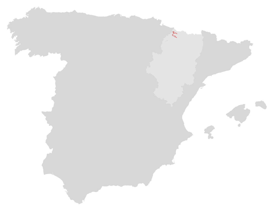
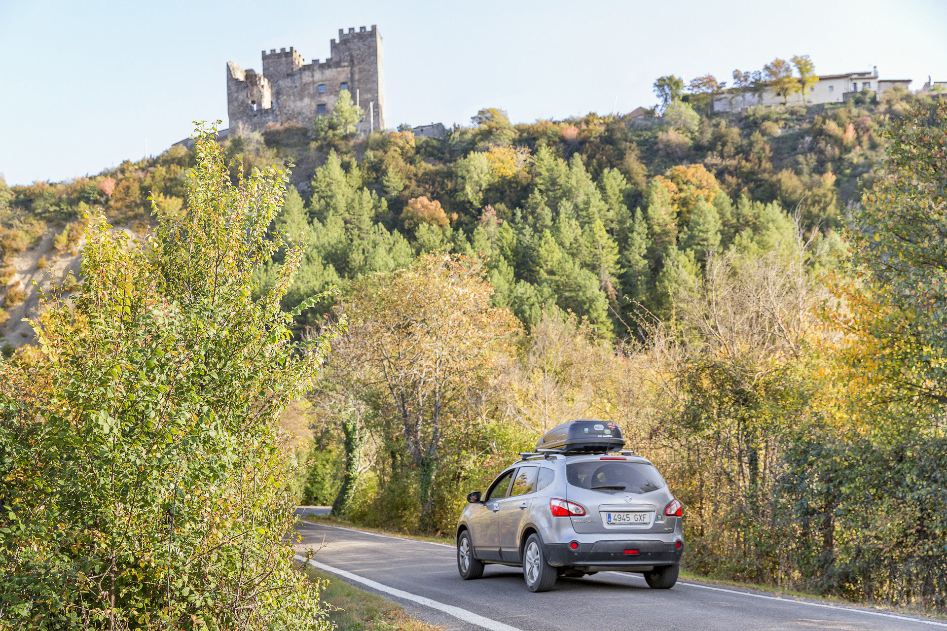
Point 5From Jasa, turn left and join the road that comes down from Aragüés del Puerto, another of the Pyrenean jewels (A2605). Upon leaving, you cross the Osia river. You then go west until you join the A176 where you turn right going north to Hecho. This section is 14.8km.
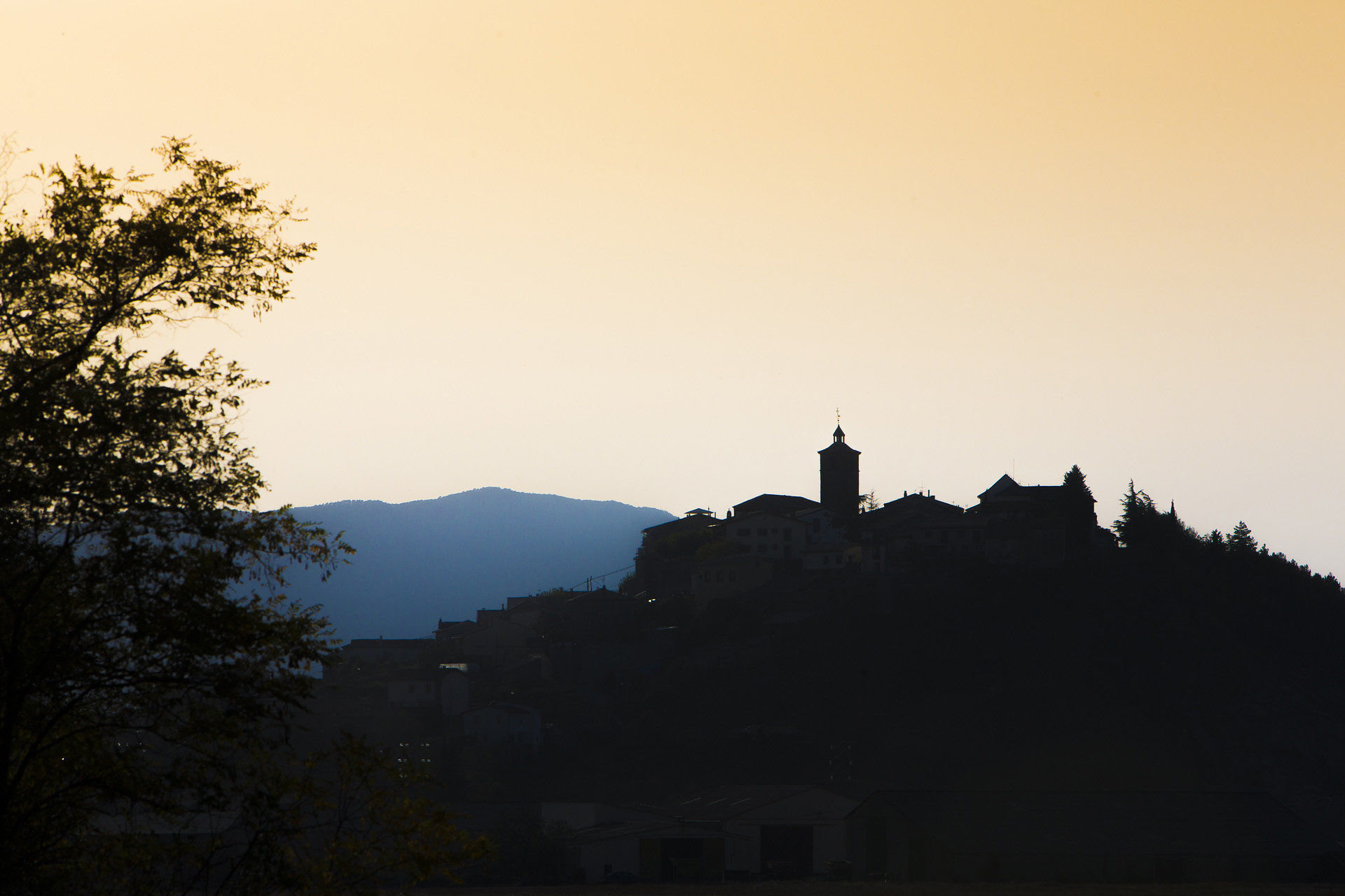
Hecho/Echo
local_hotellocal_gas_stationrestaurant
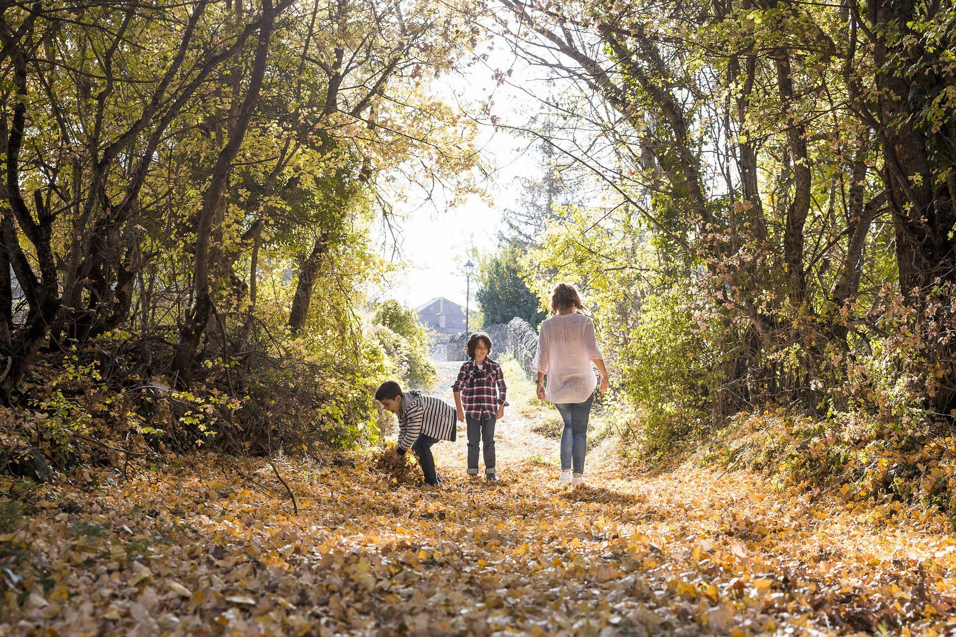
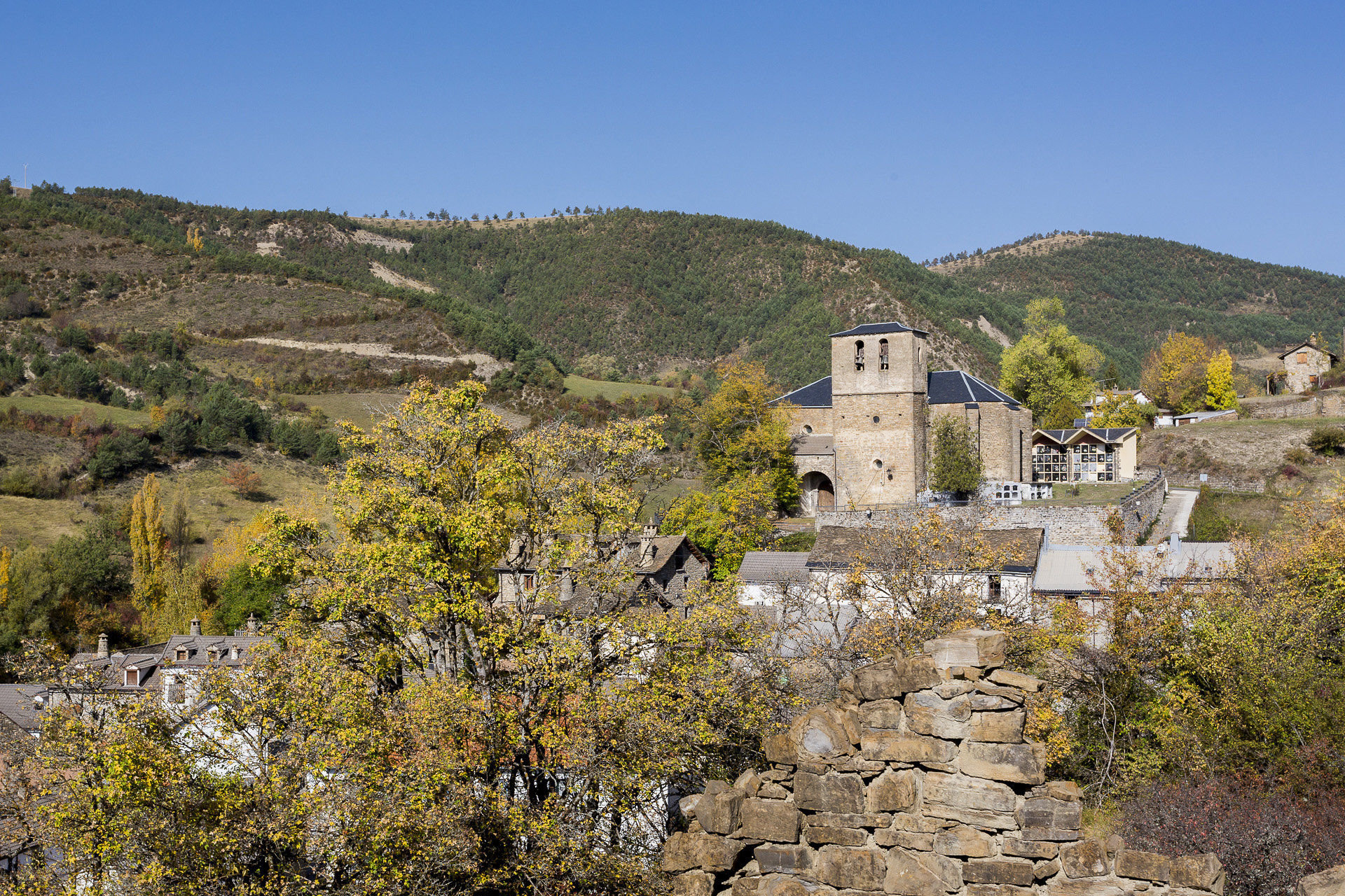
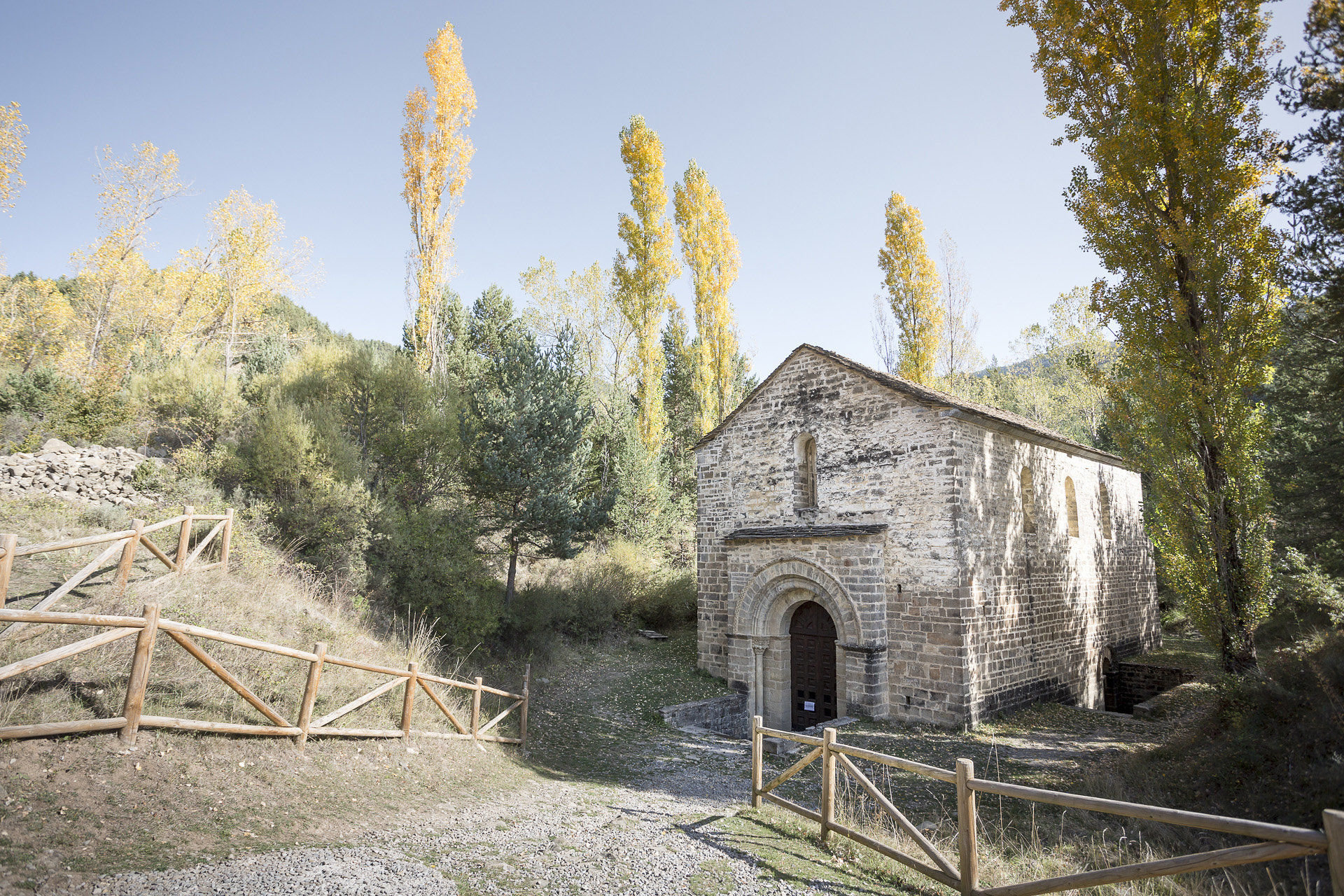
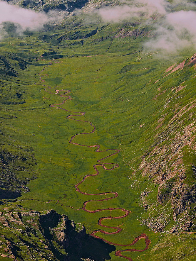
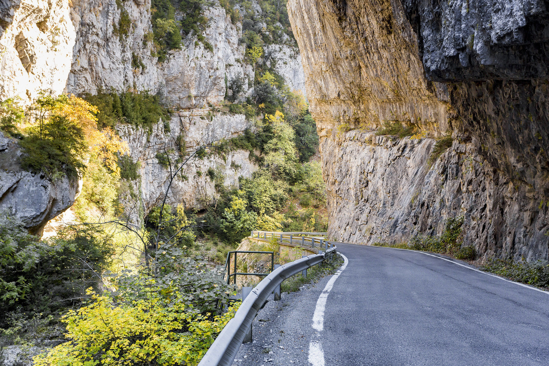
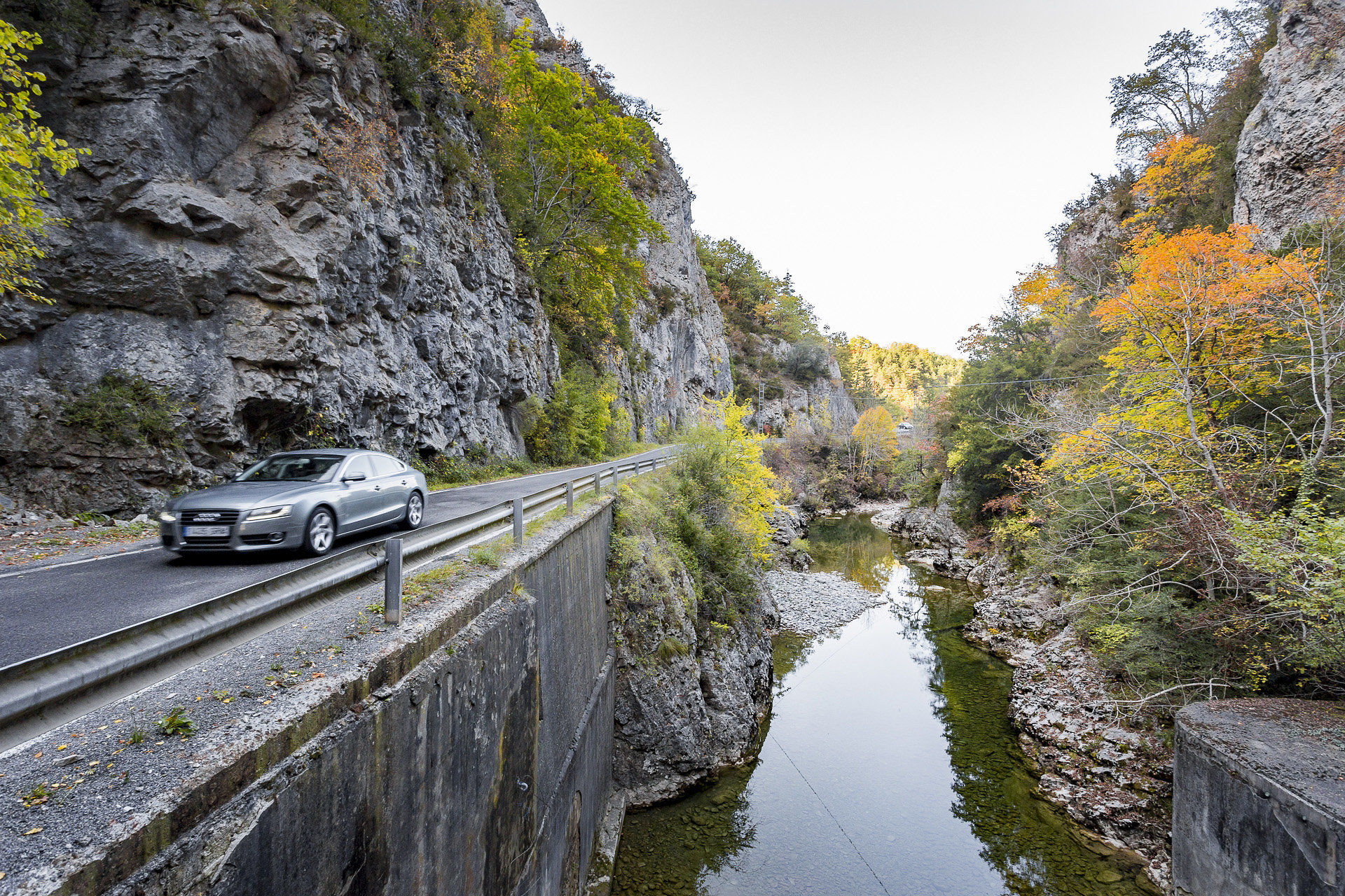
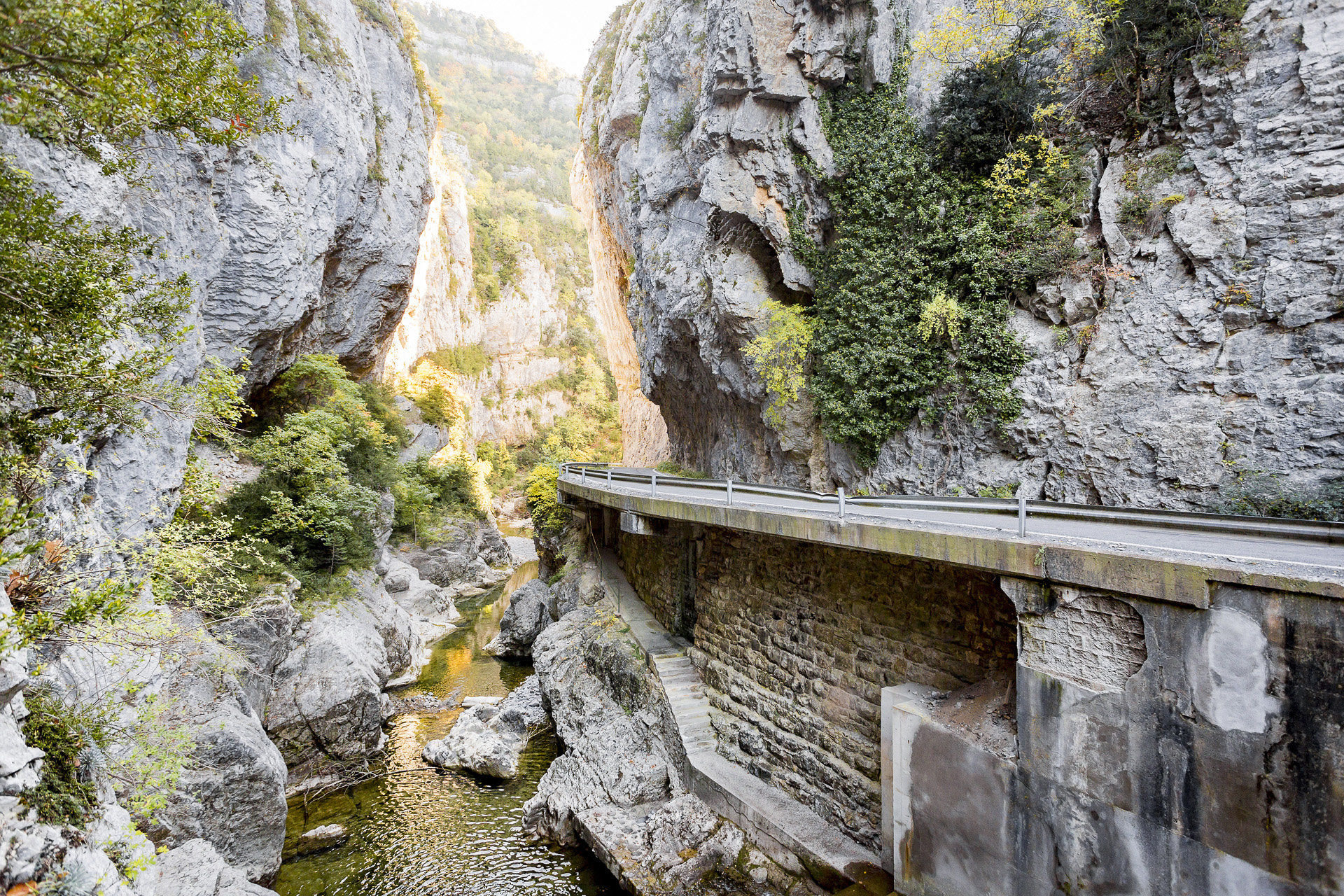
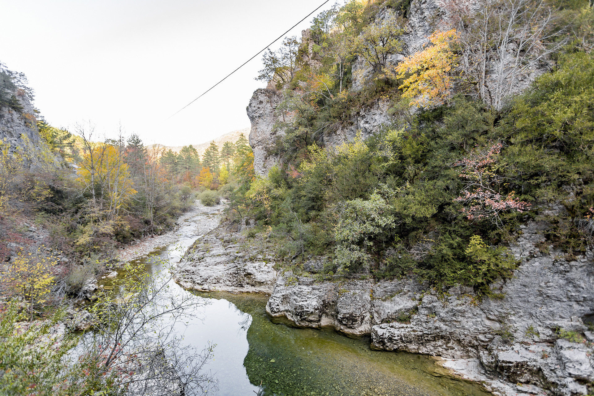
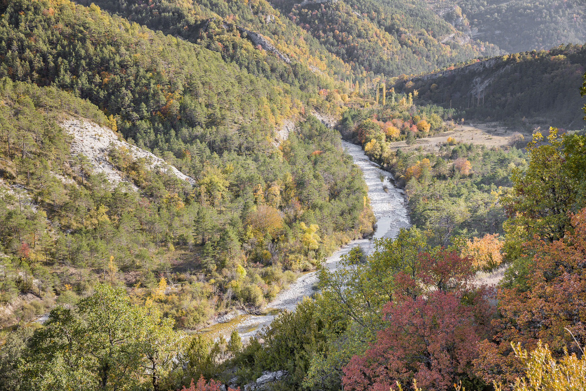
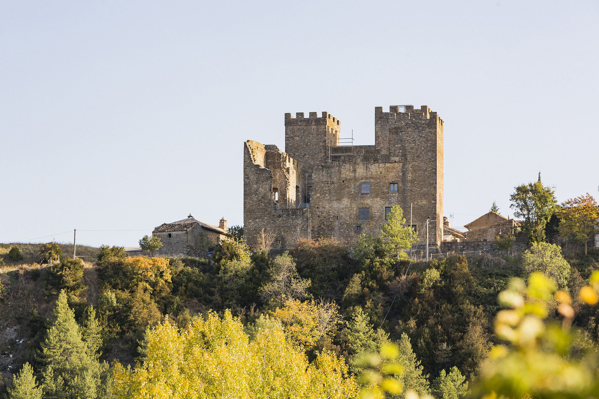
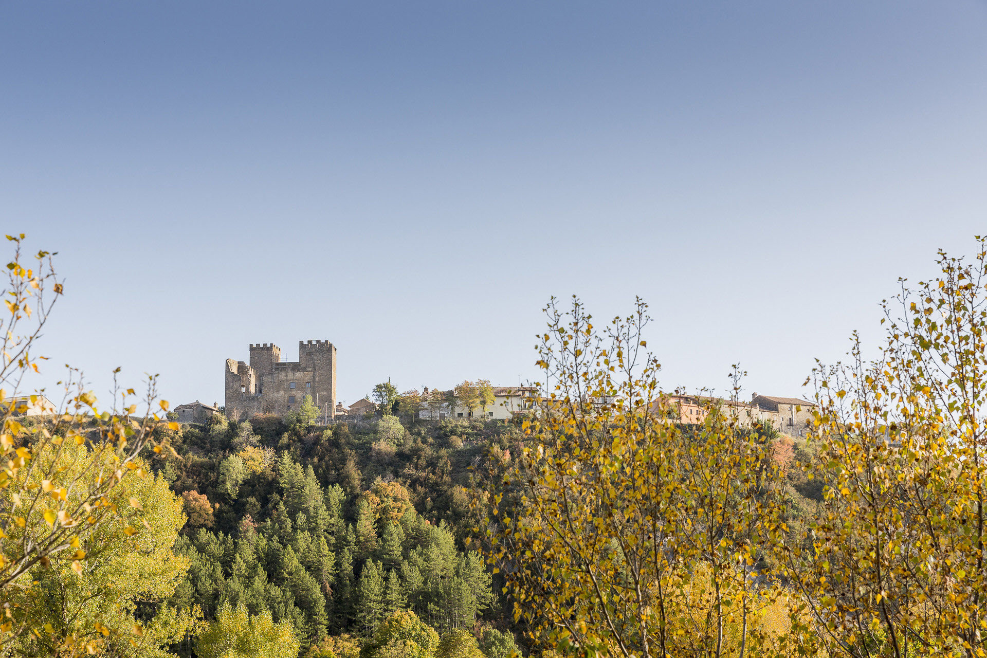
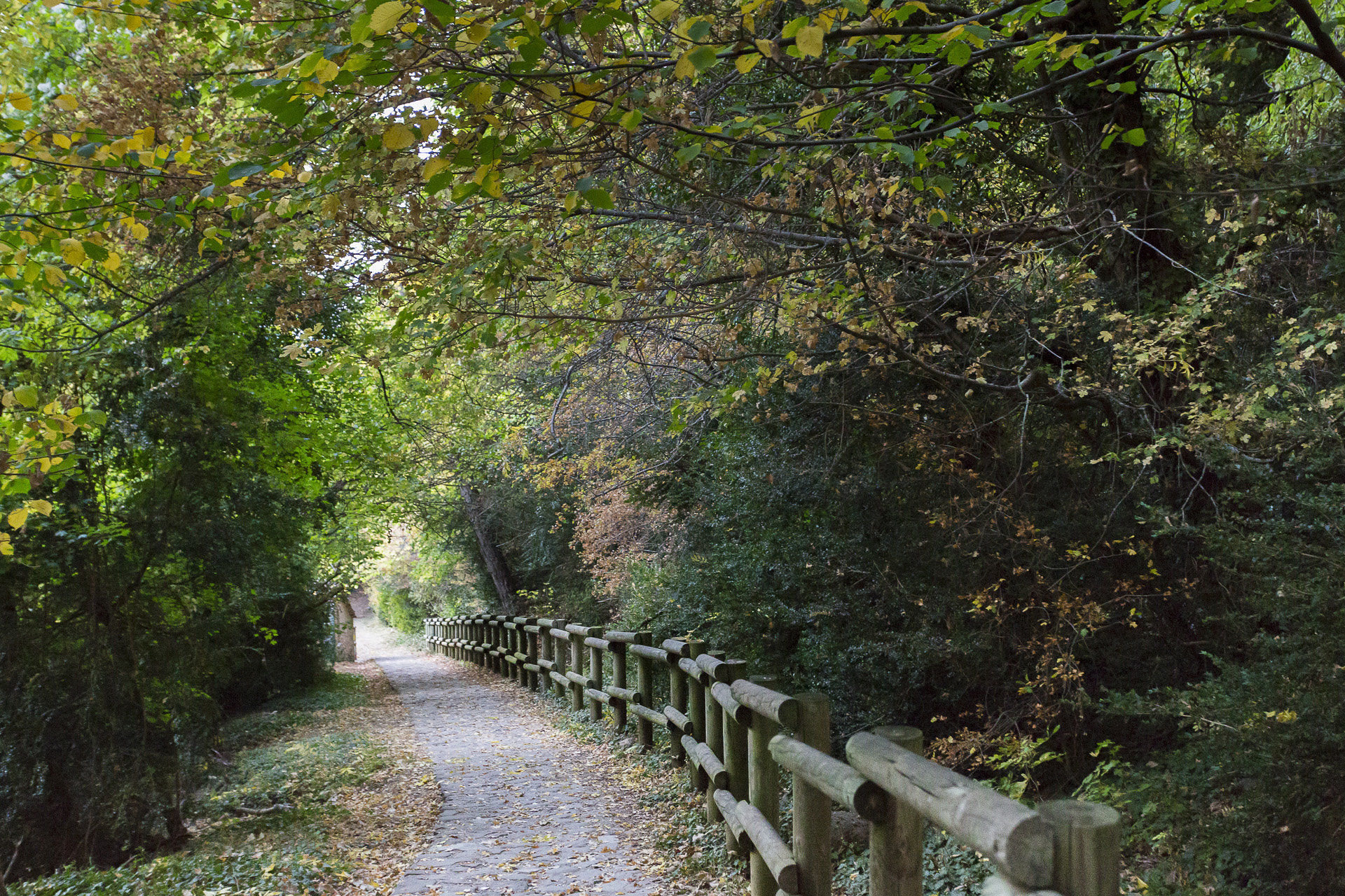
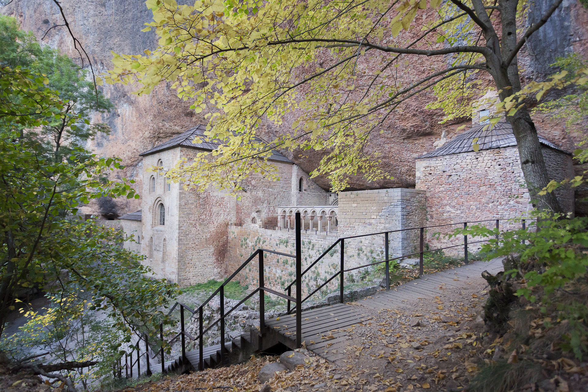
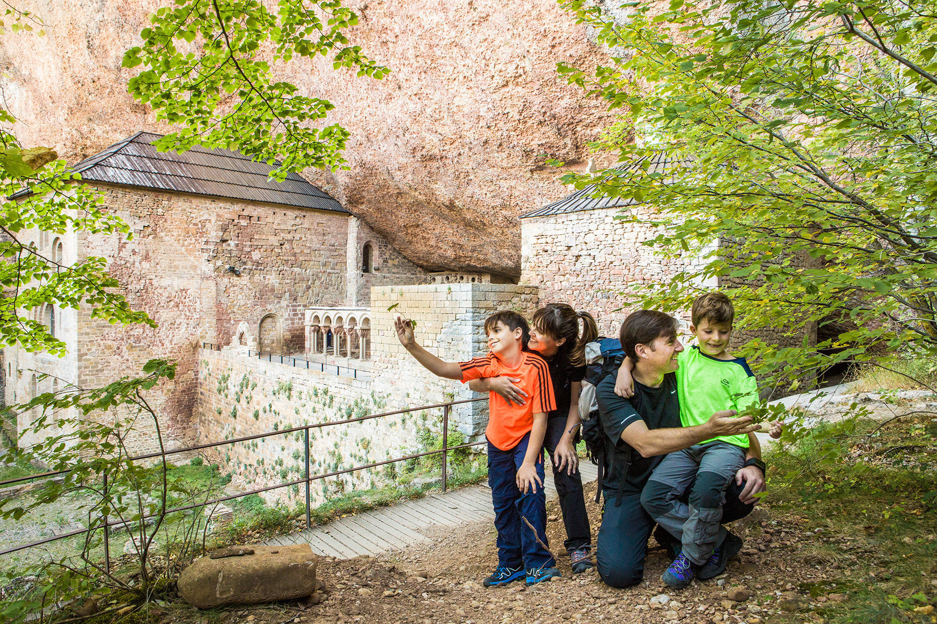
The Valle de Hecho/Val de Echo is one of the places in the Pyrenees that is worth discovering. Besides having splendid natural surroundings, in which there are still animals such as the brown bear or the bearded vulture, the inhabitants have known how to preserve their traditions and culture. The variety of the Aragonese language, the cheso, is one of its jewels. The Selva de Oza is one of the most beautiful corners of the Pyrenees. A beautiful mixed forest formed by firs, pines and beech trees. Other unique places are the spectacular congosto de la Boca del Infierno, the valle de Guarrinza, covered with green meadows.
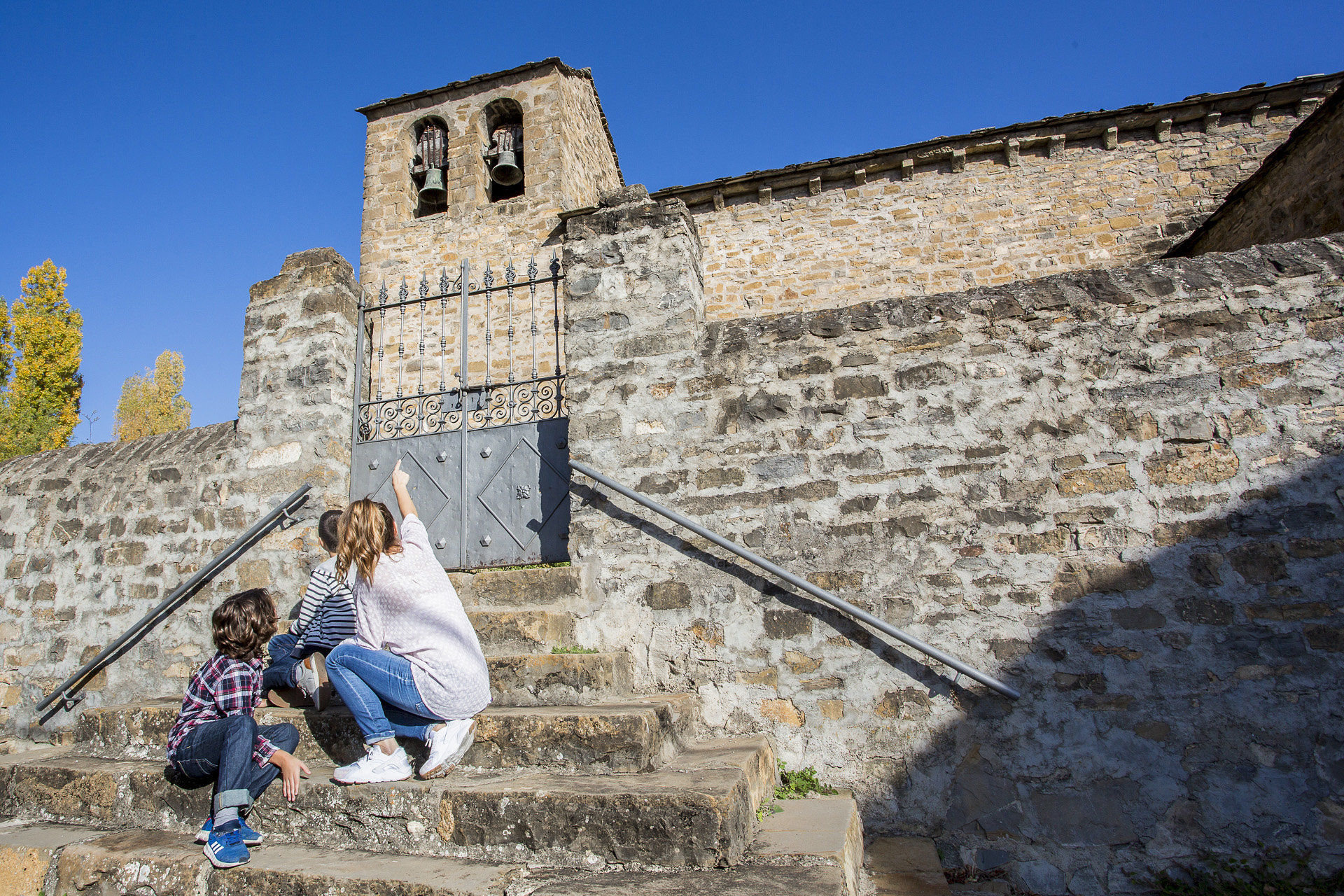
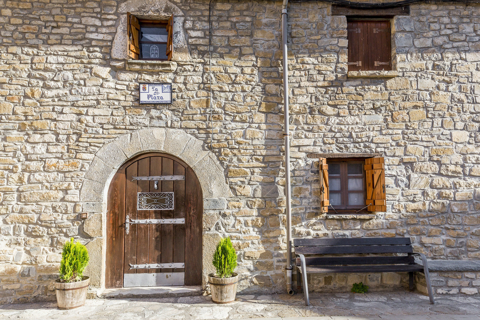
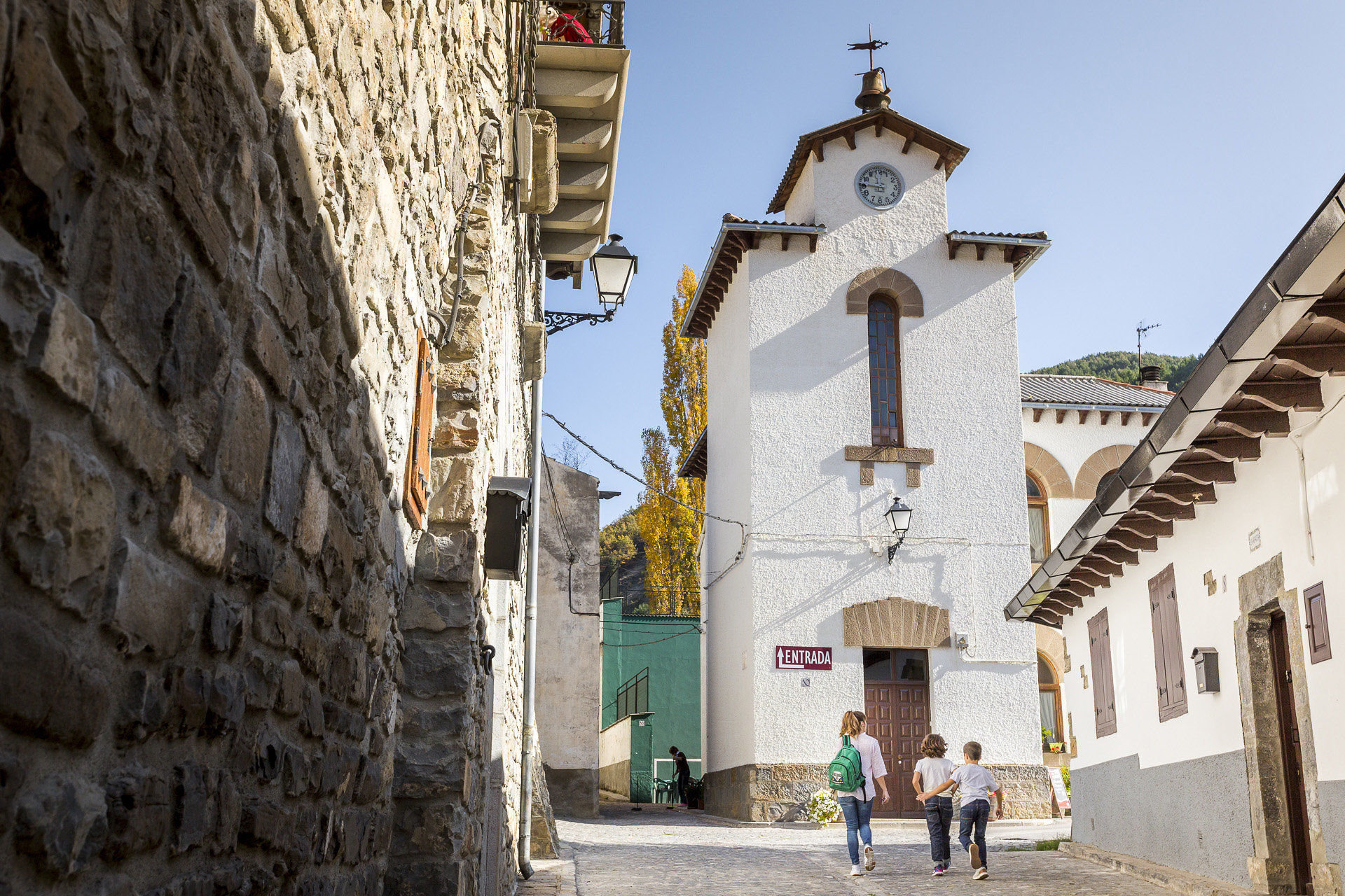
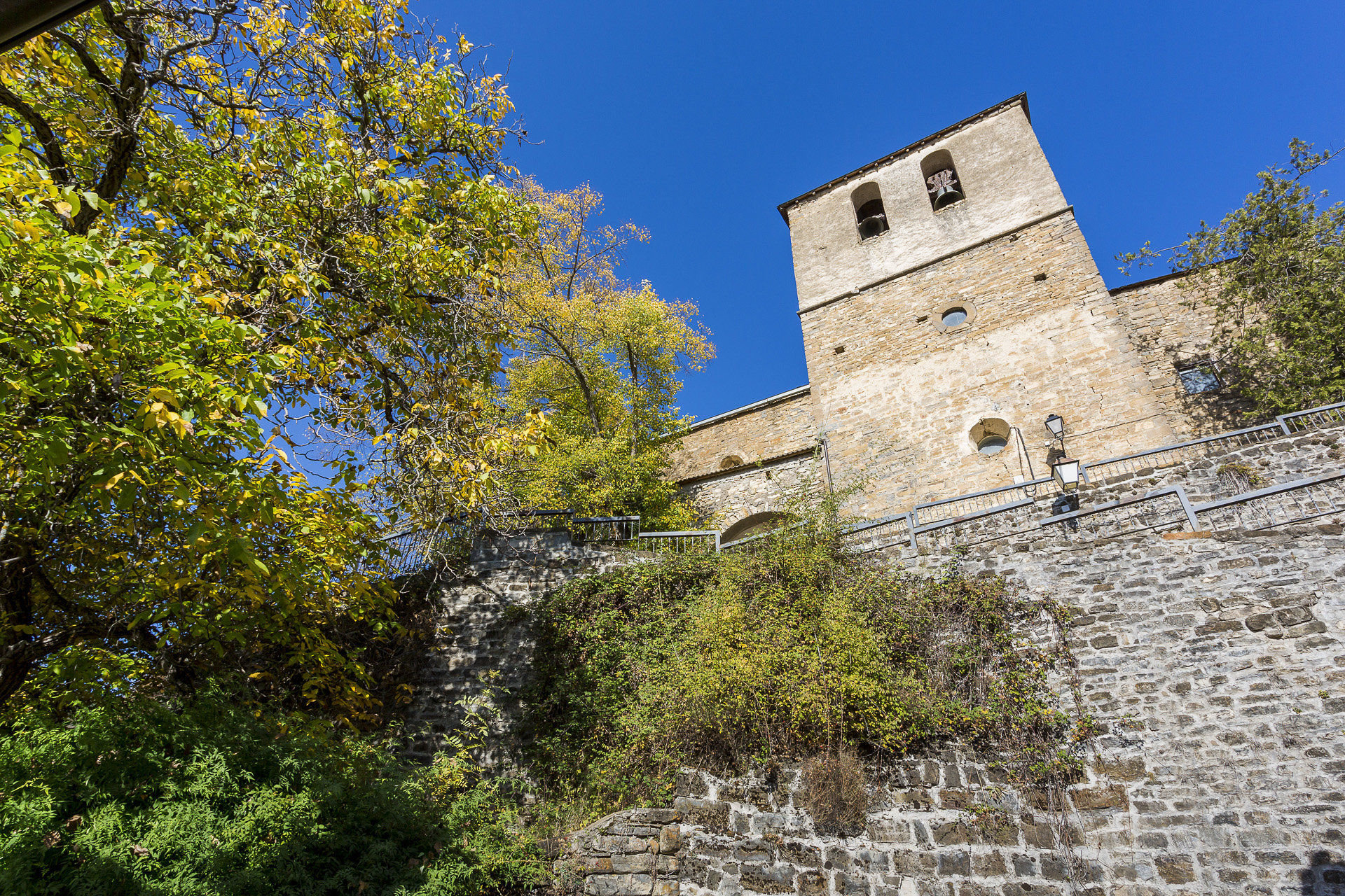
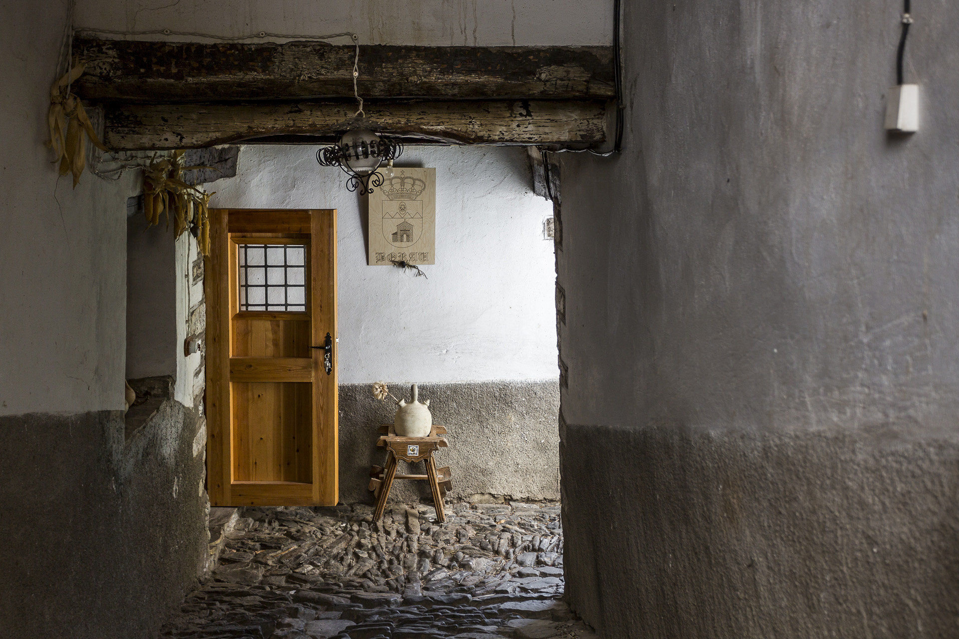
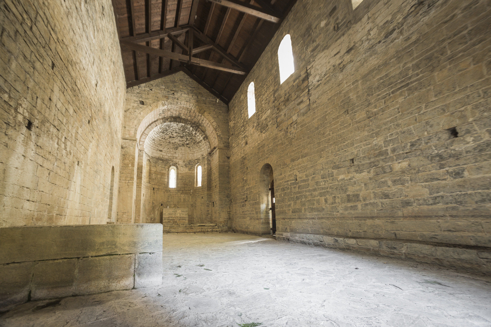
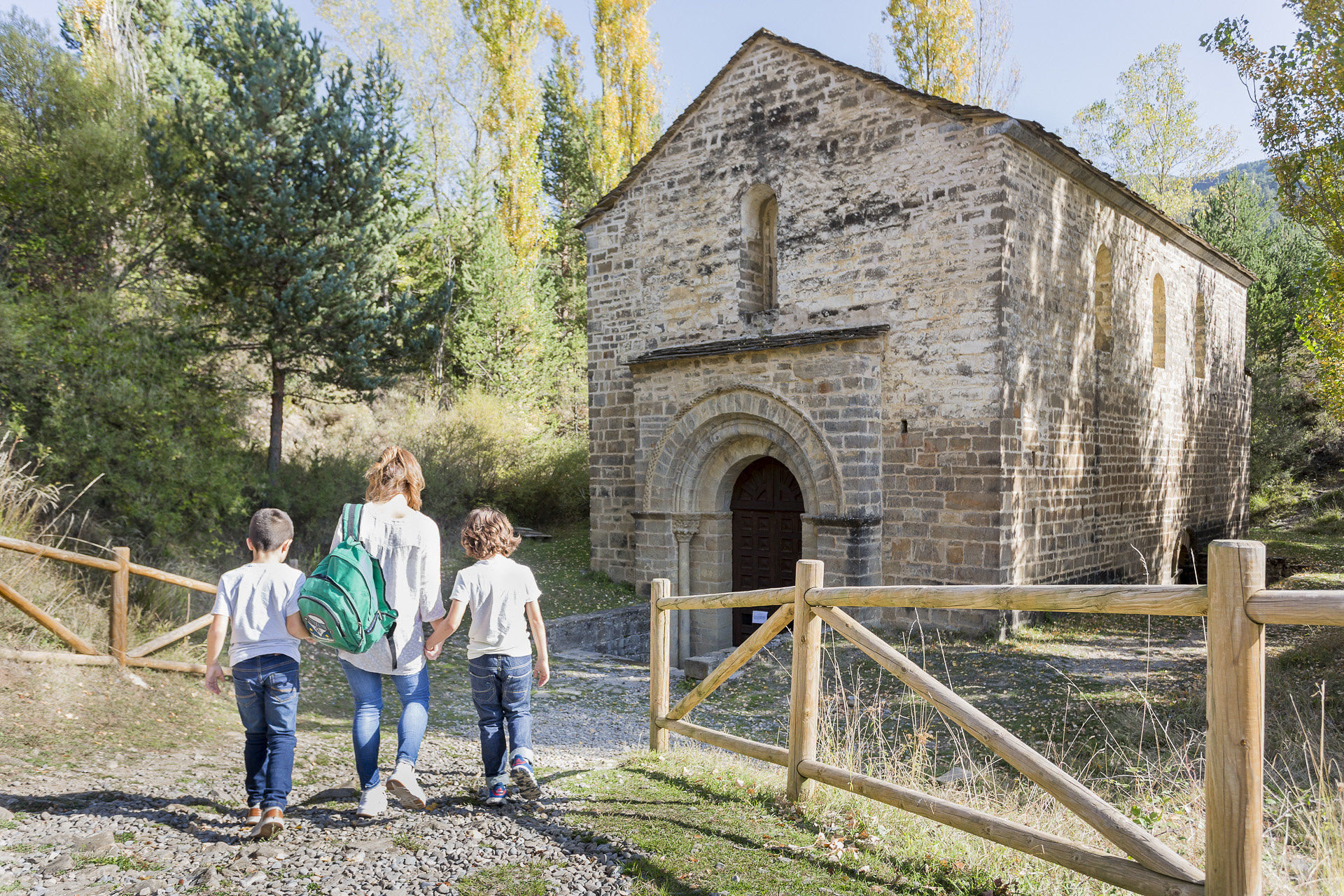
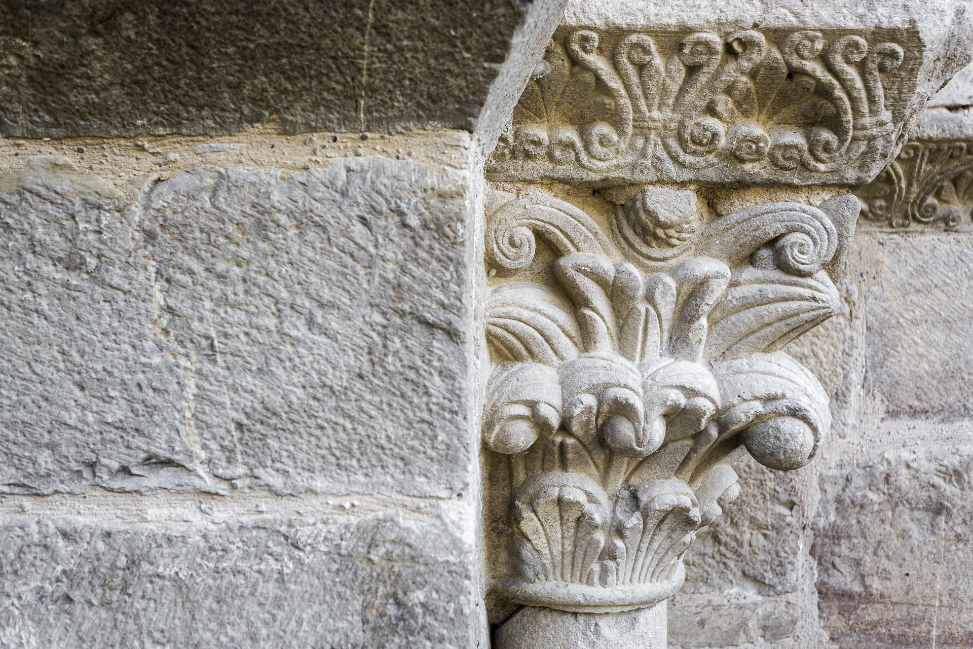
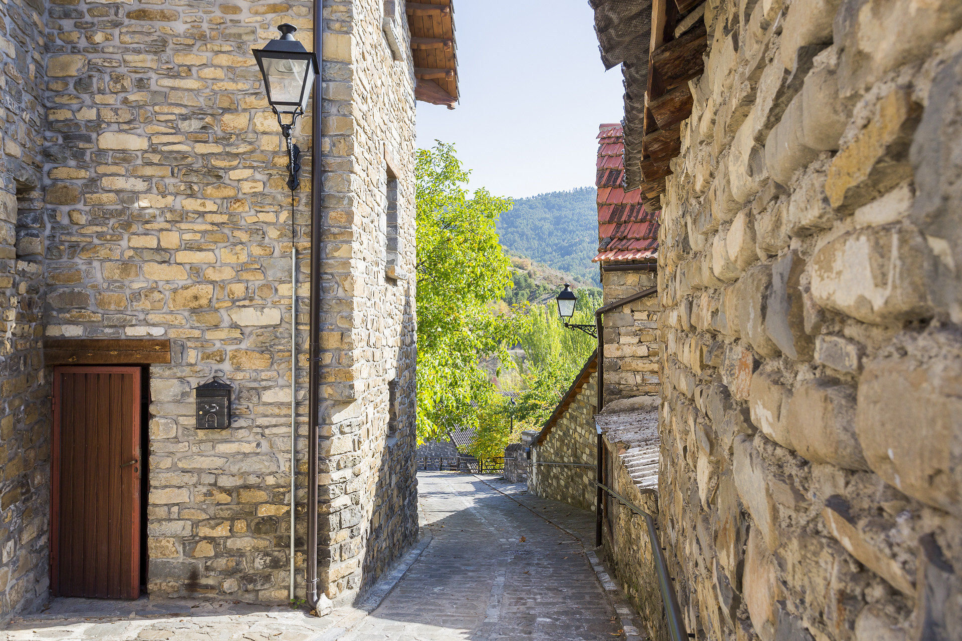
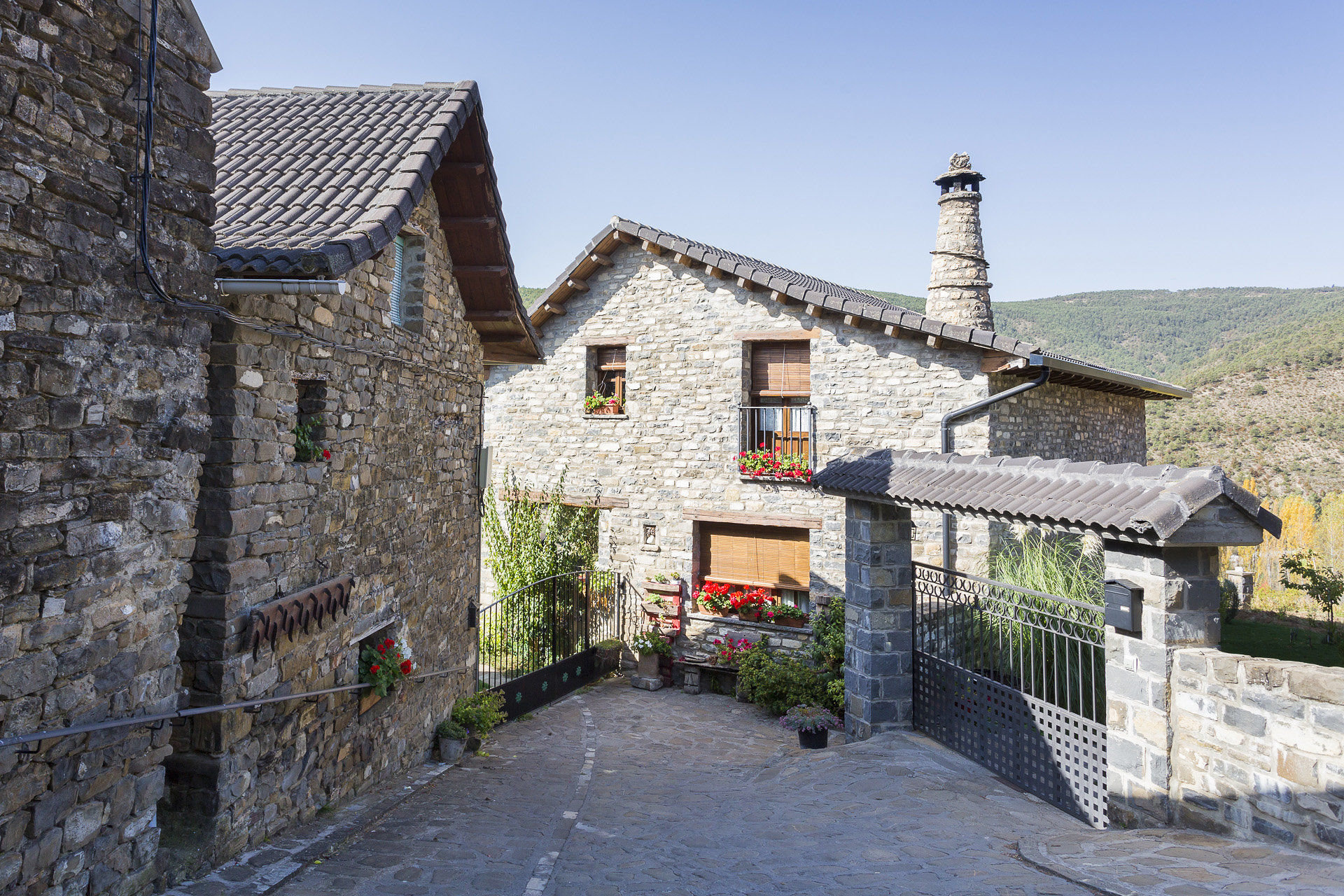
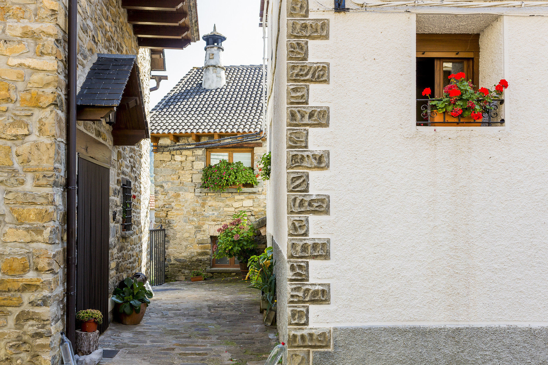
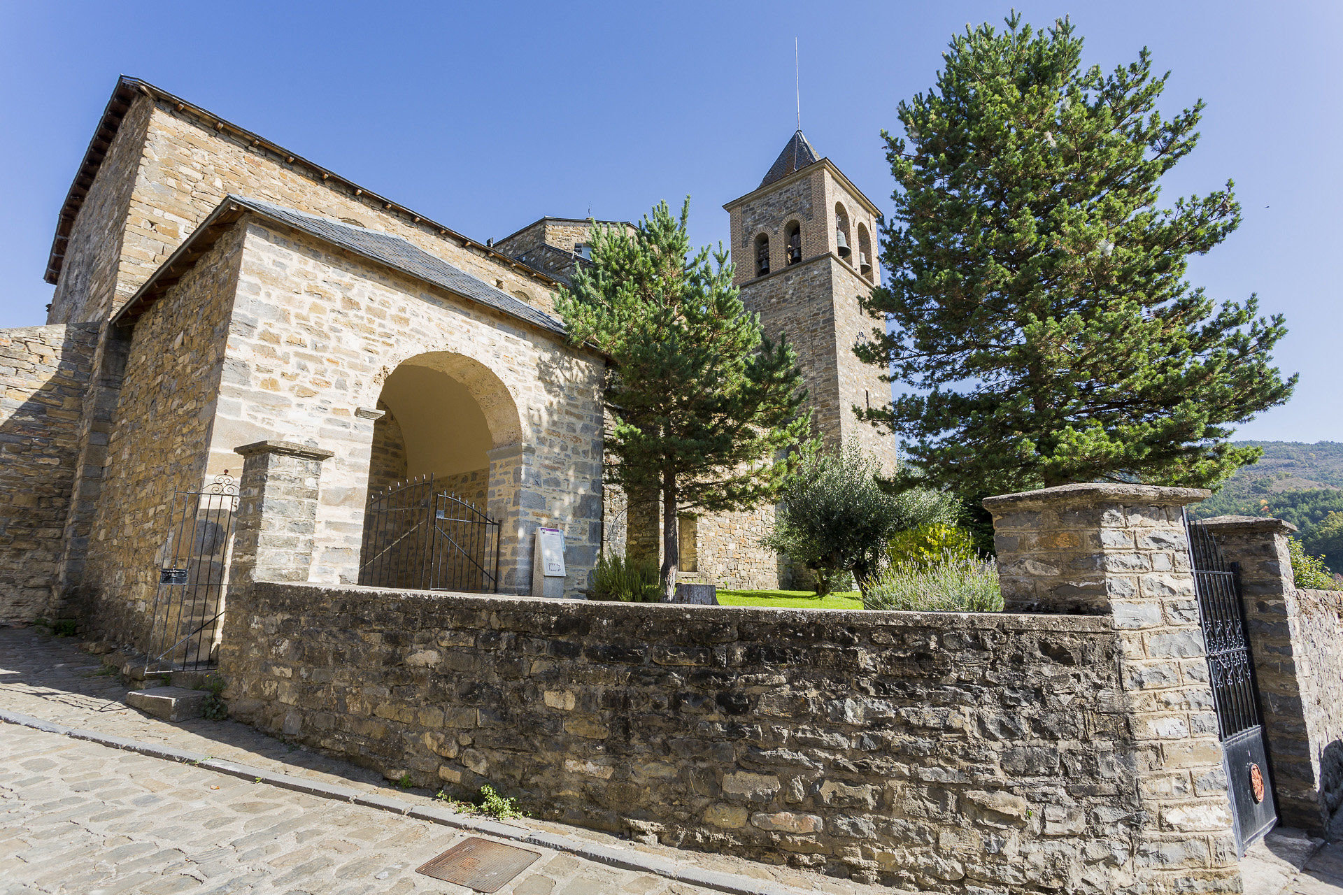
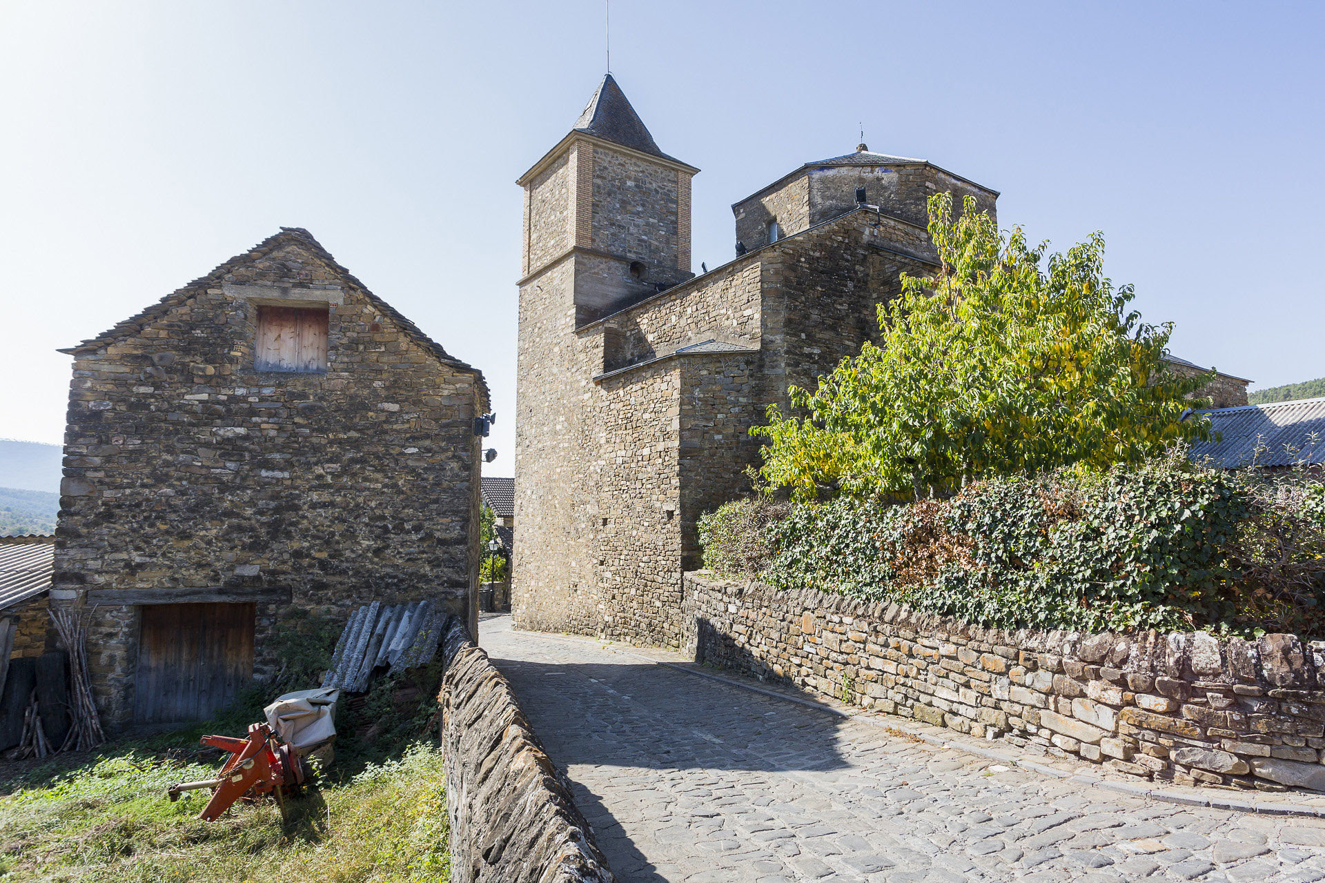
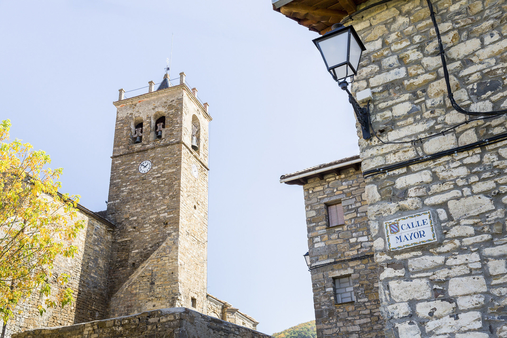
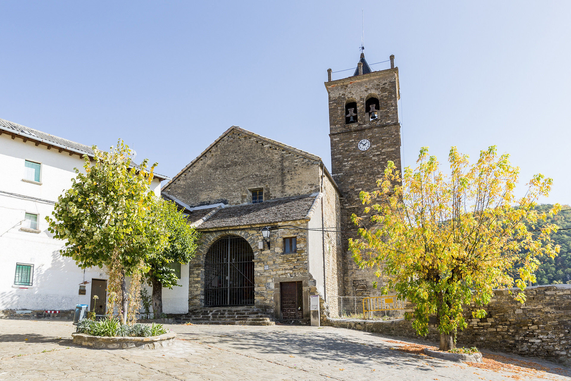
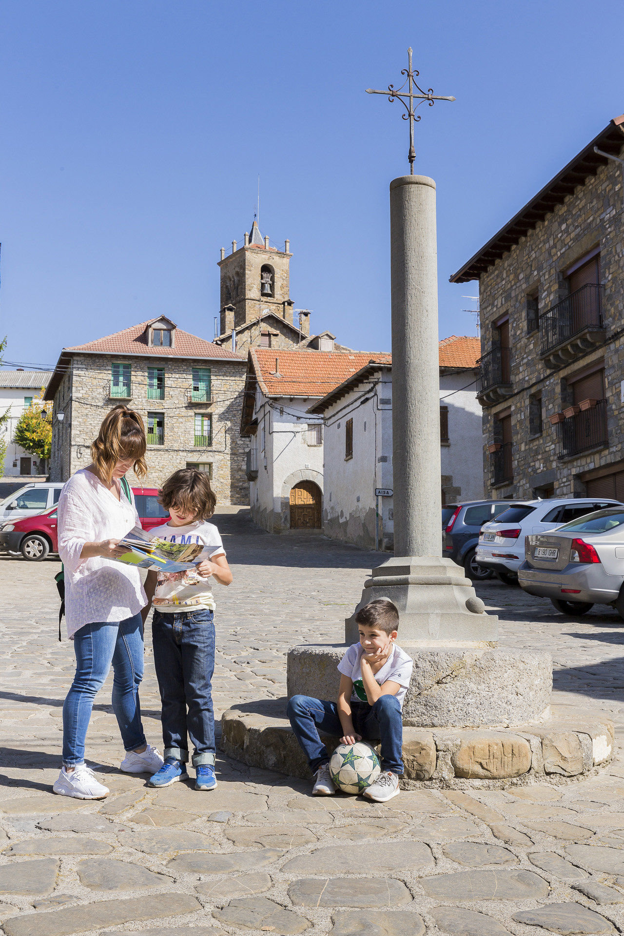
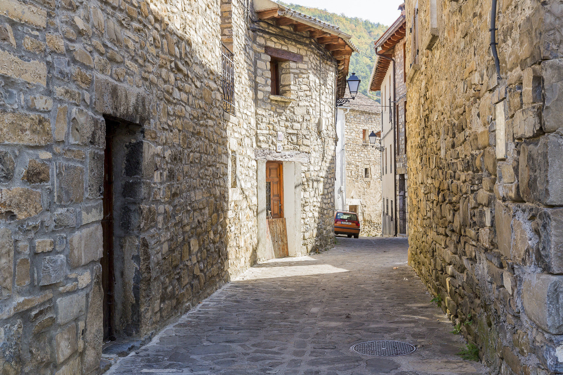
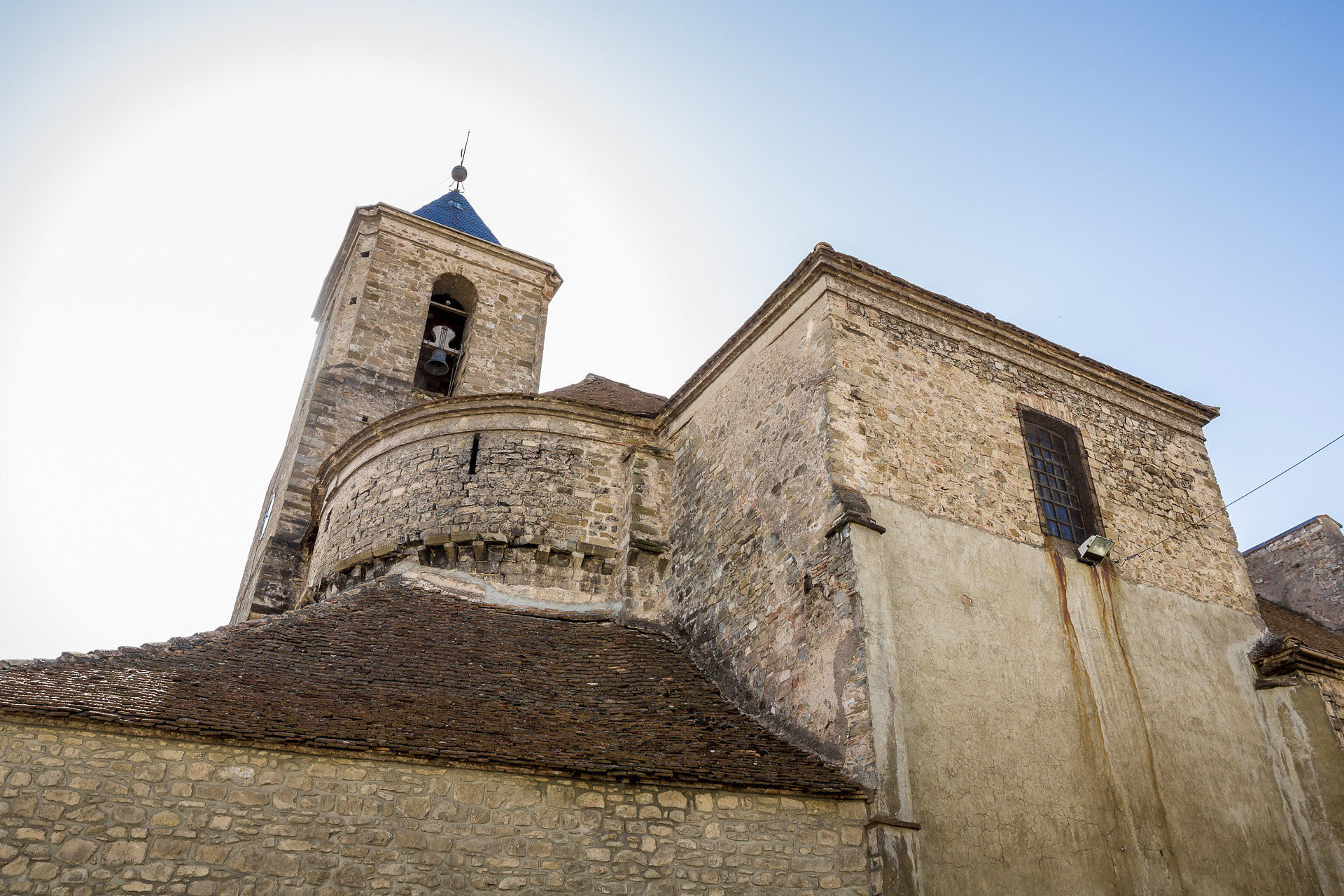
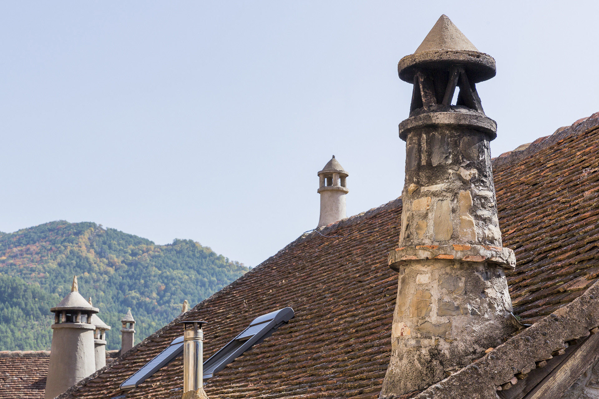
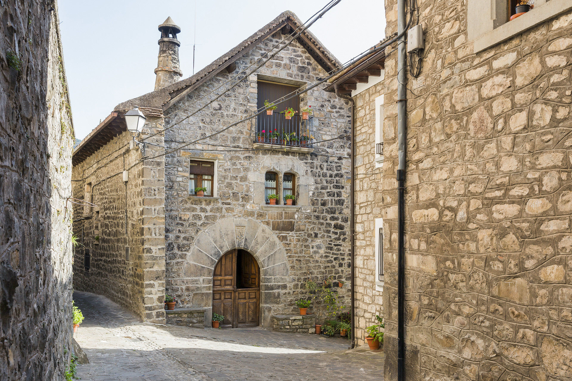
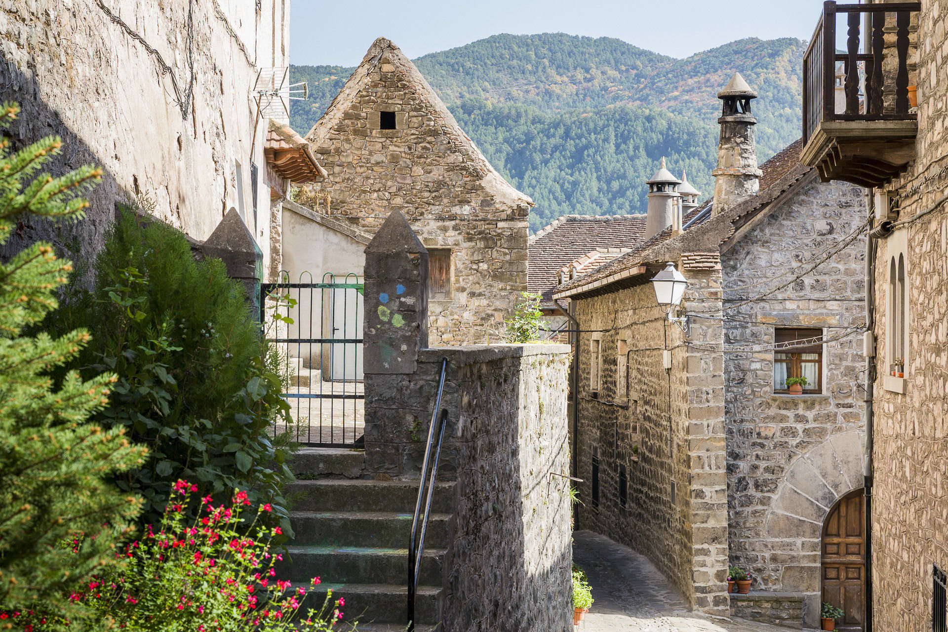
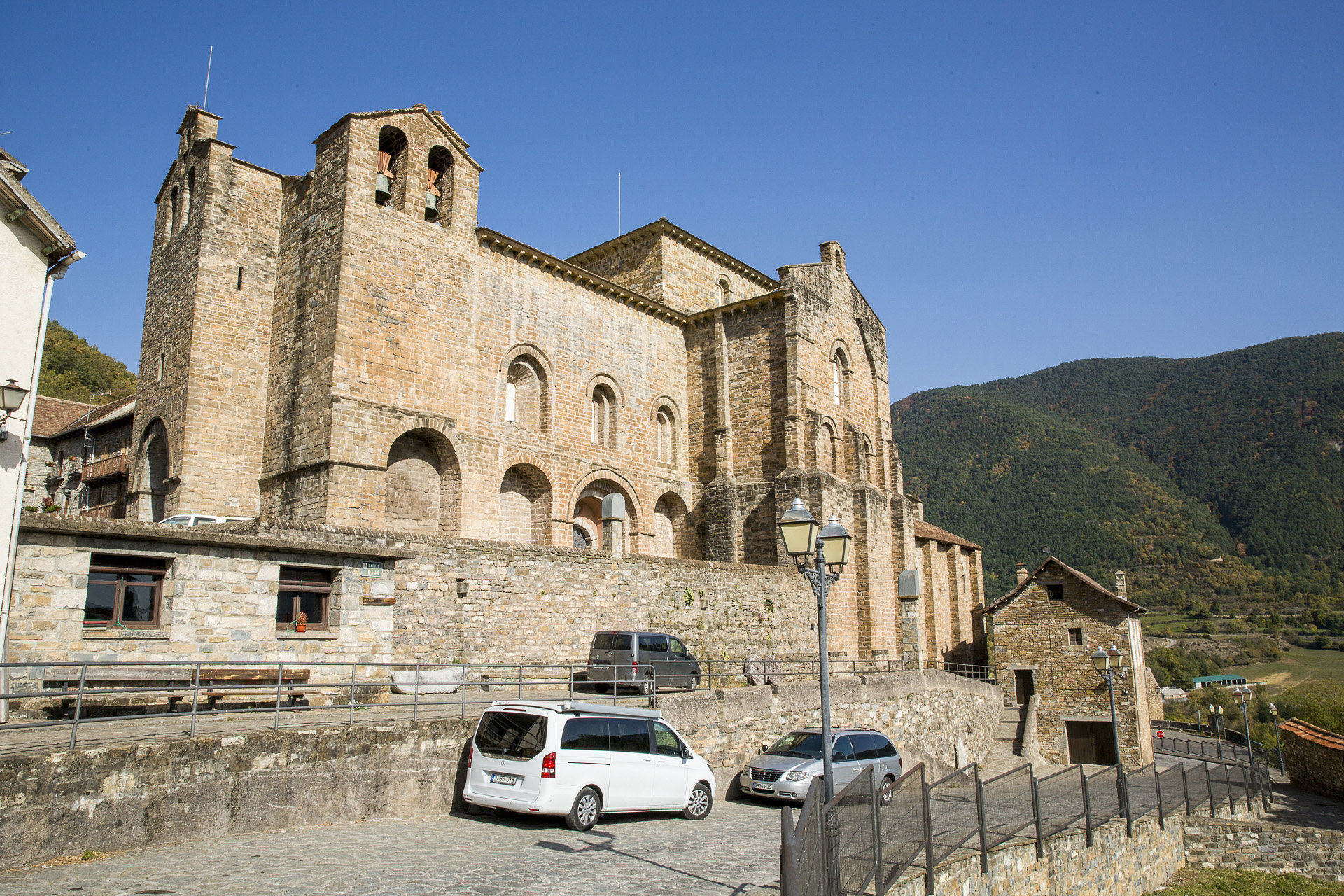
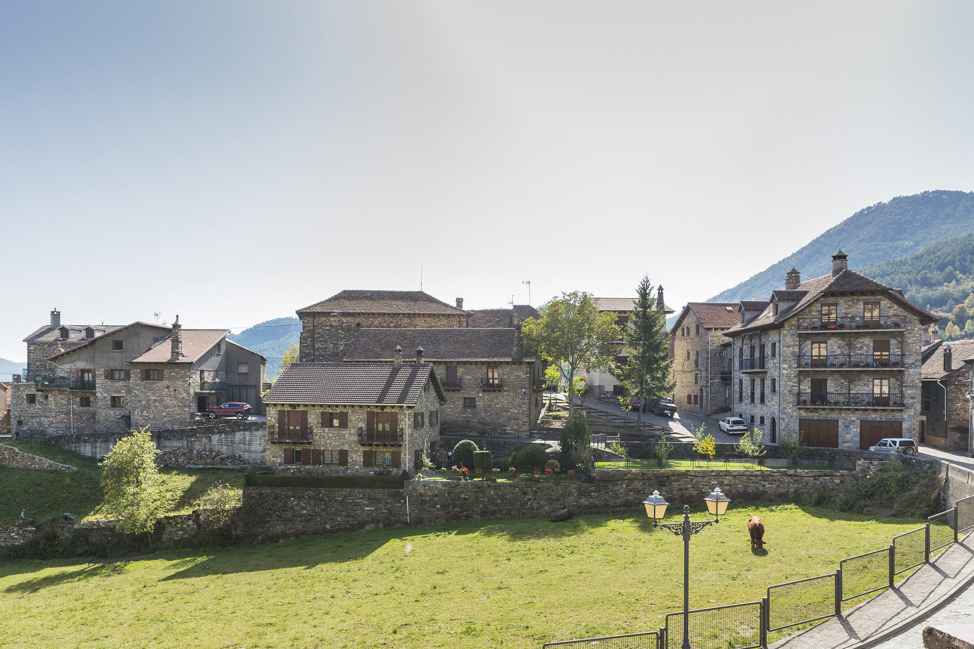
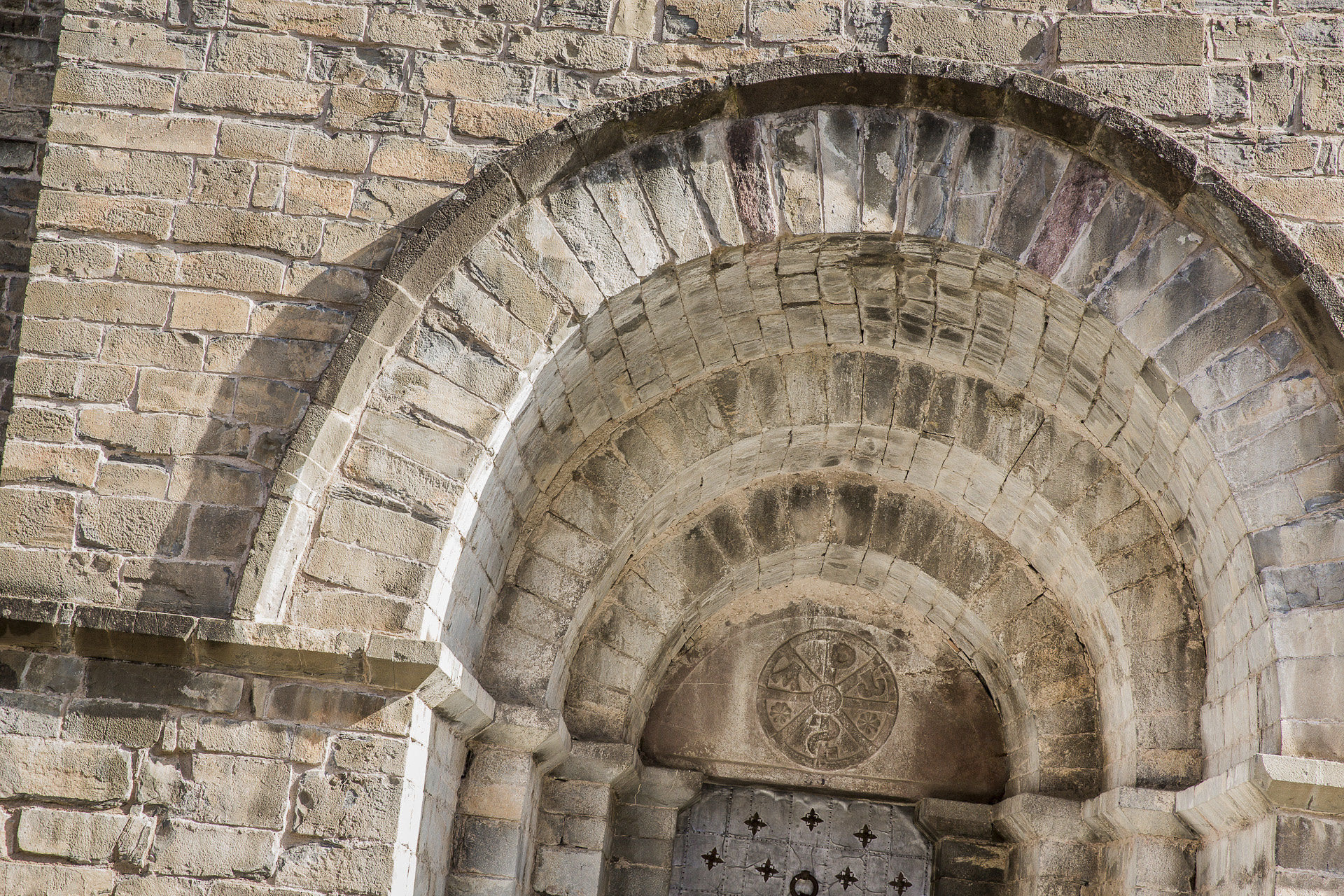
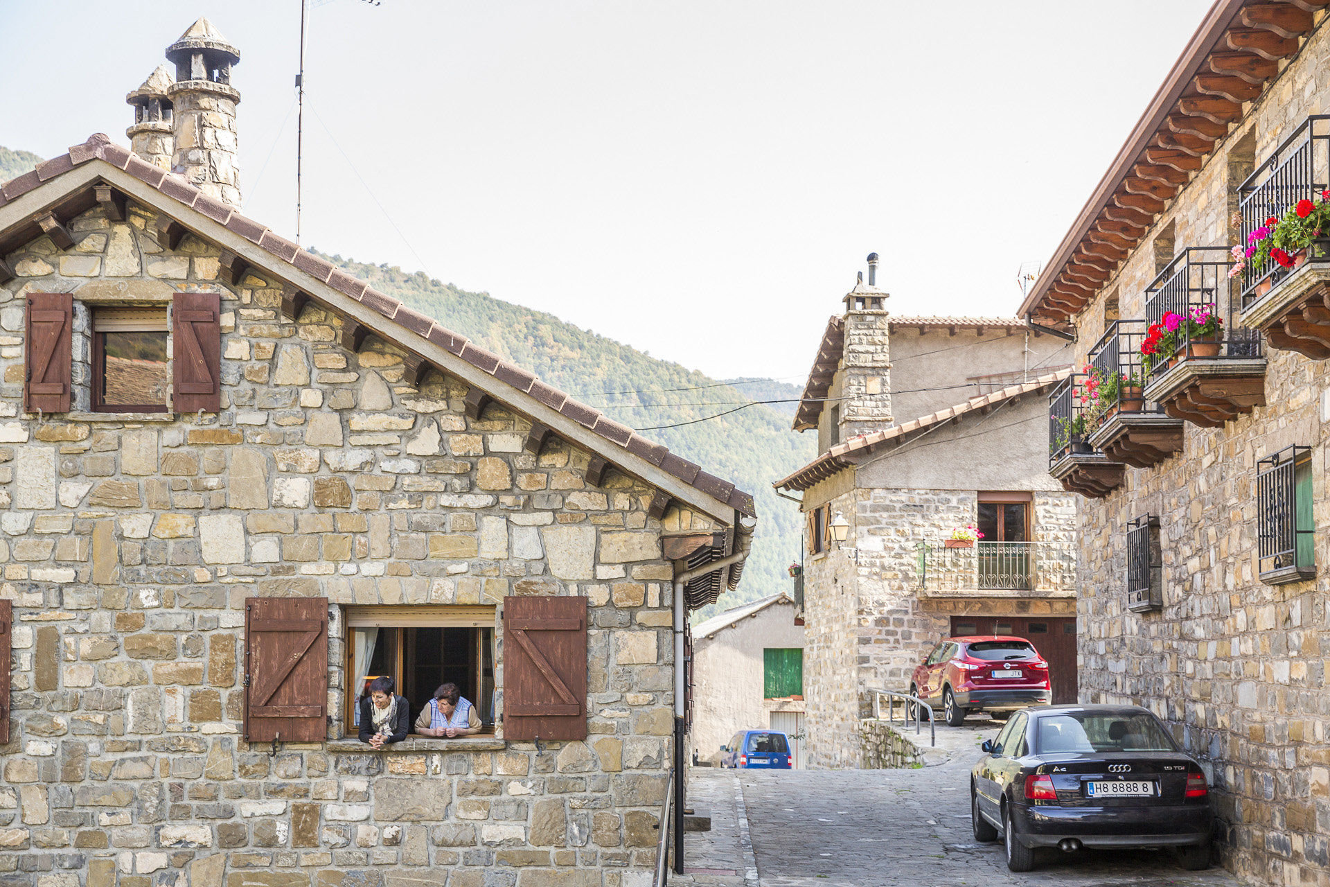
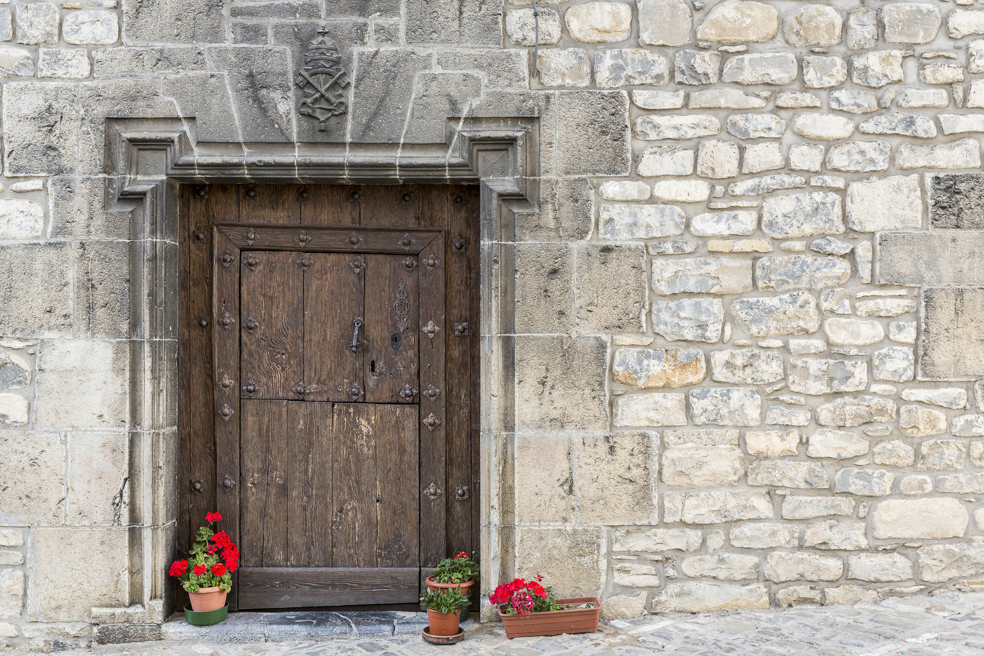
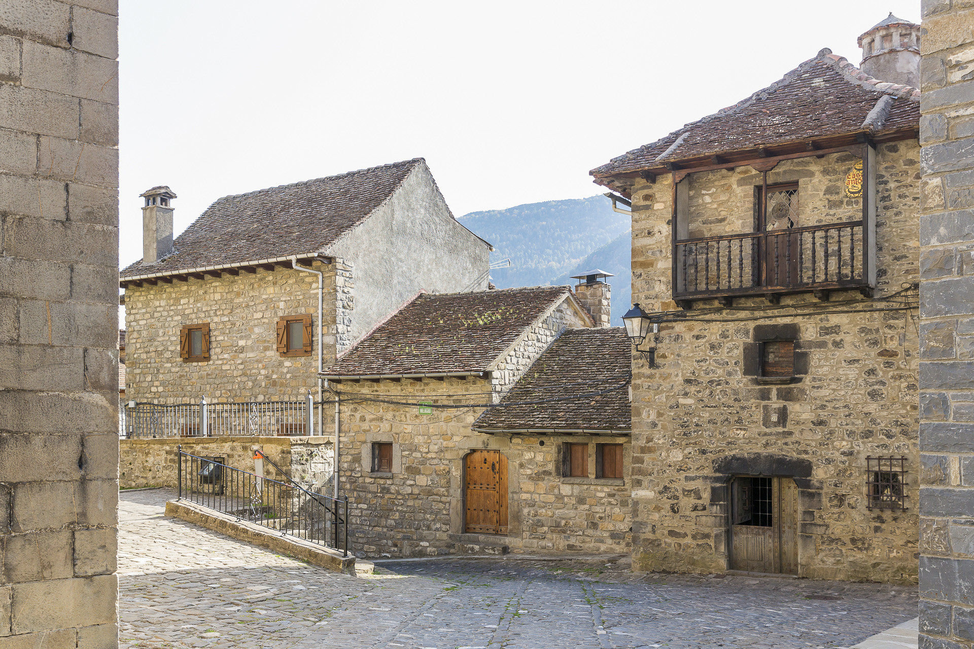
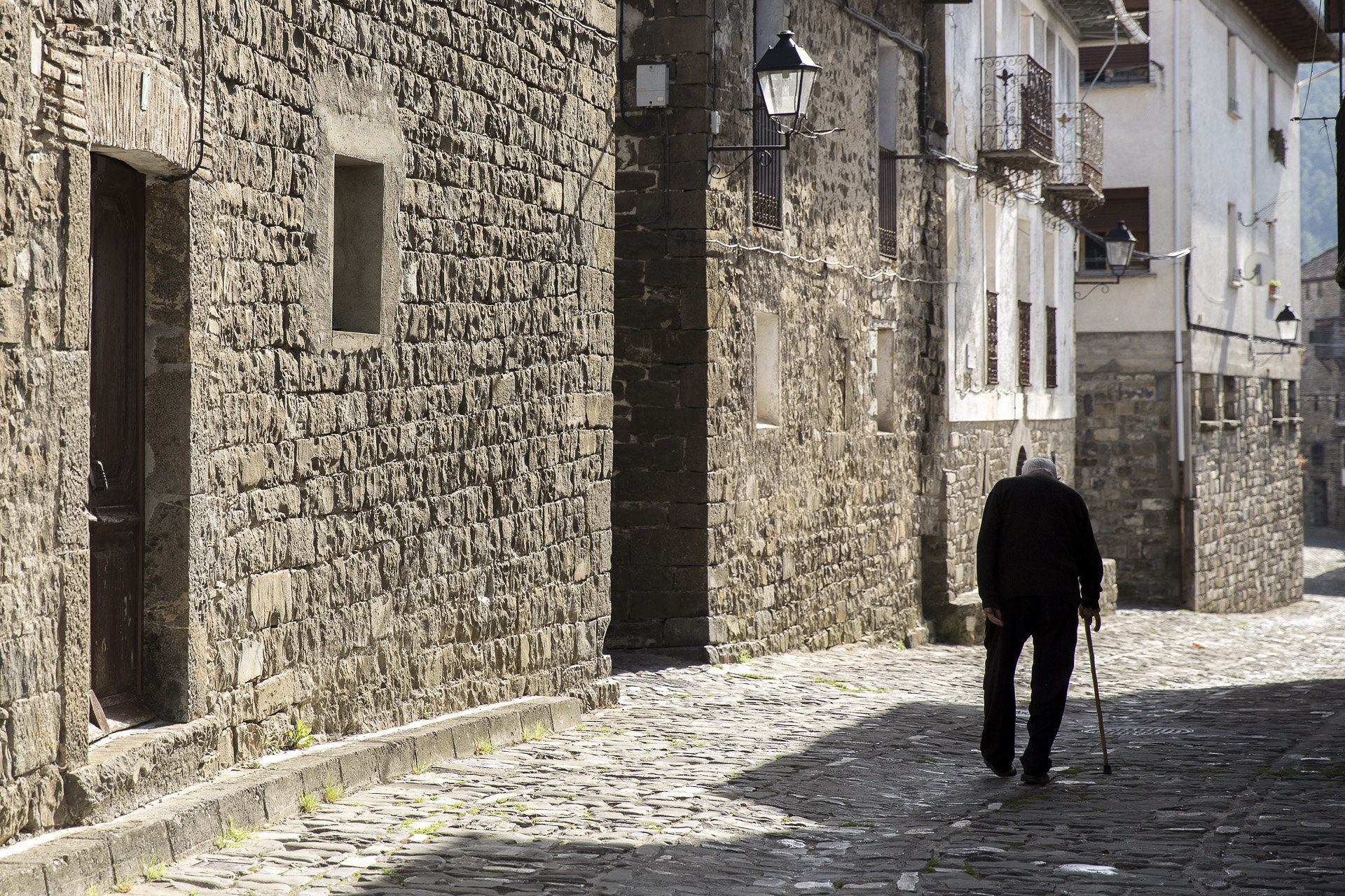
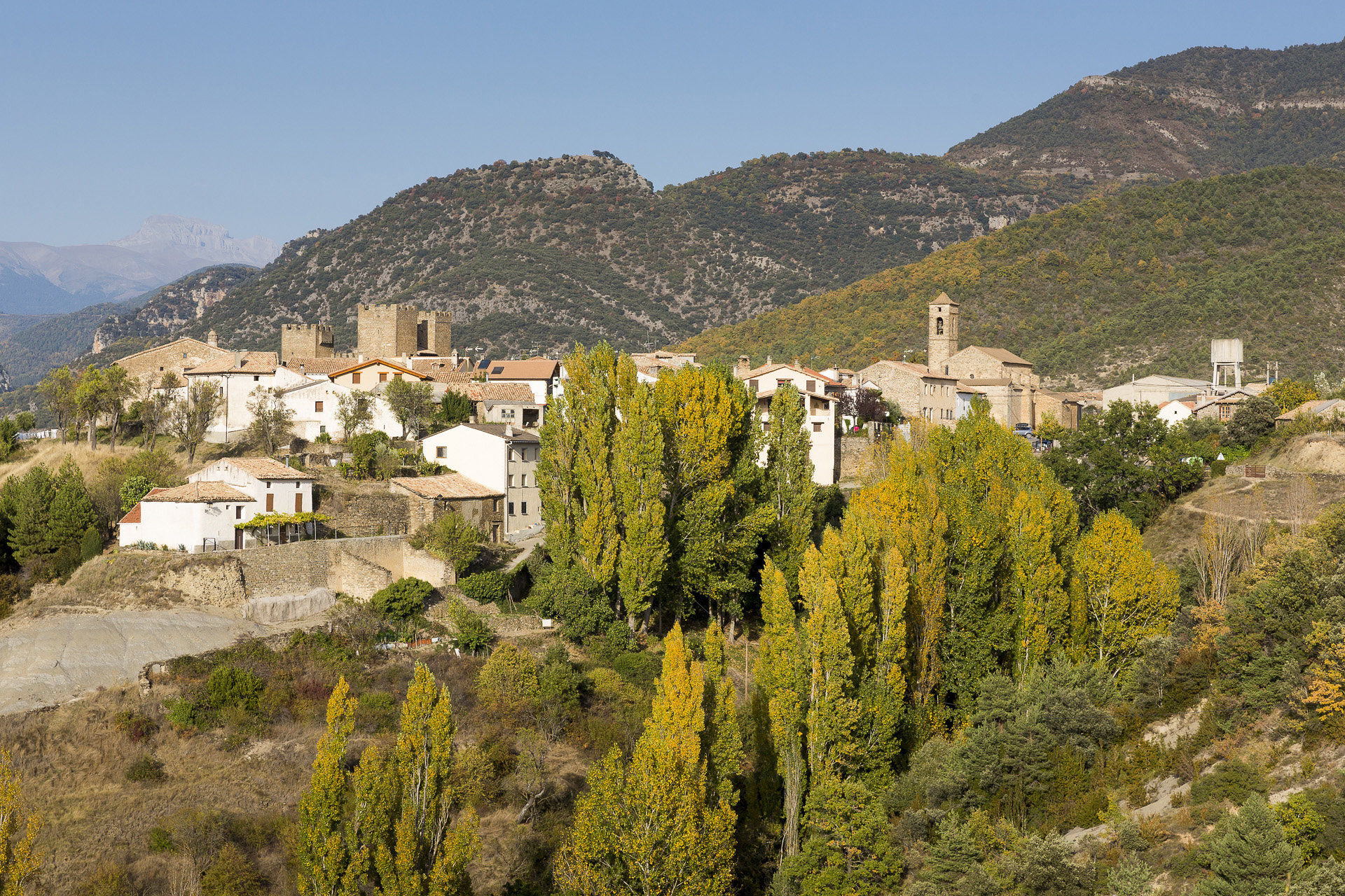
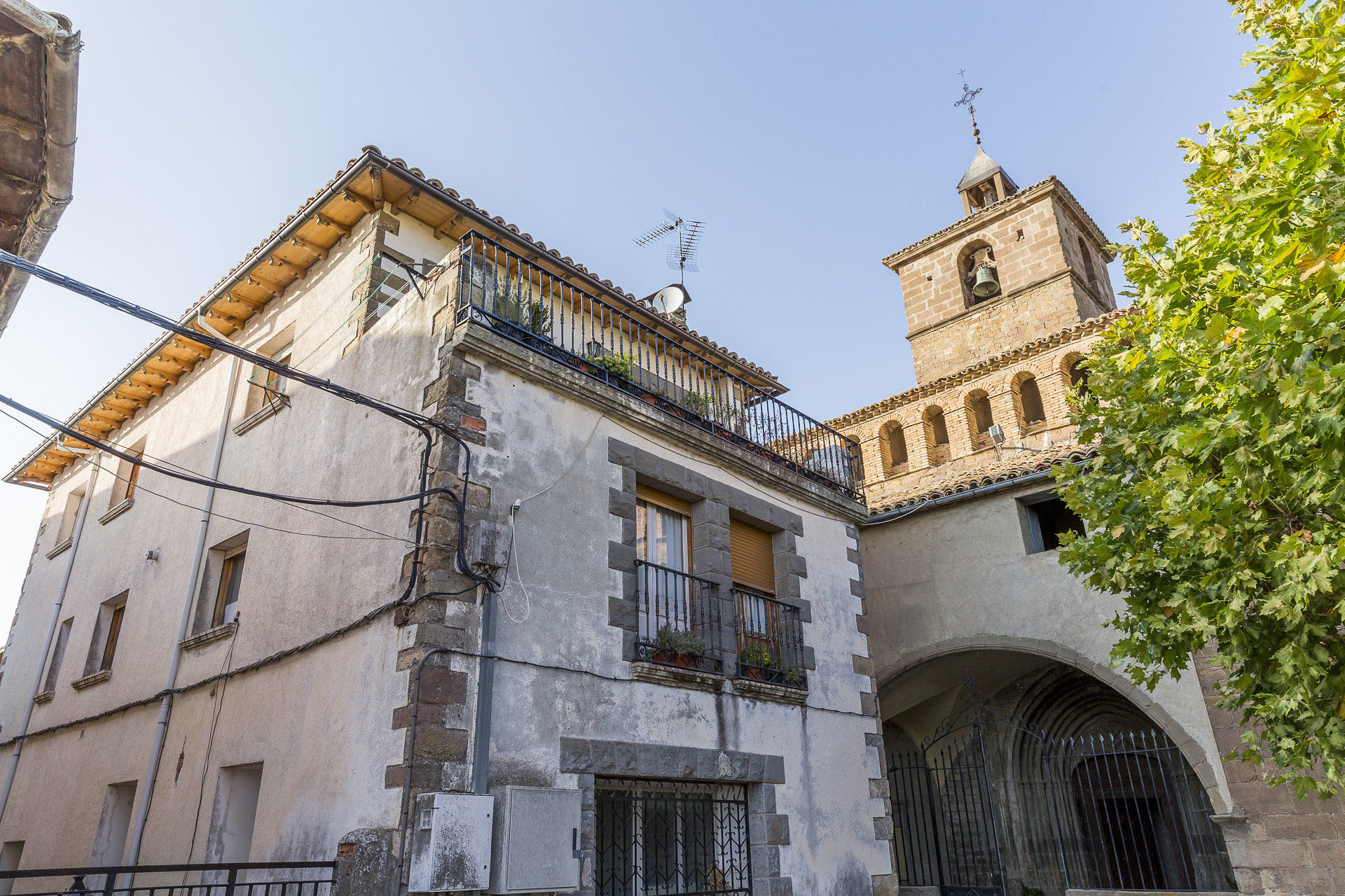
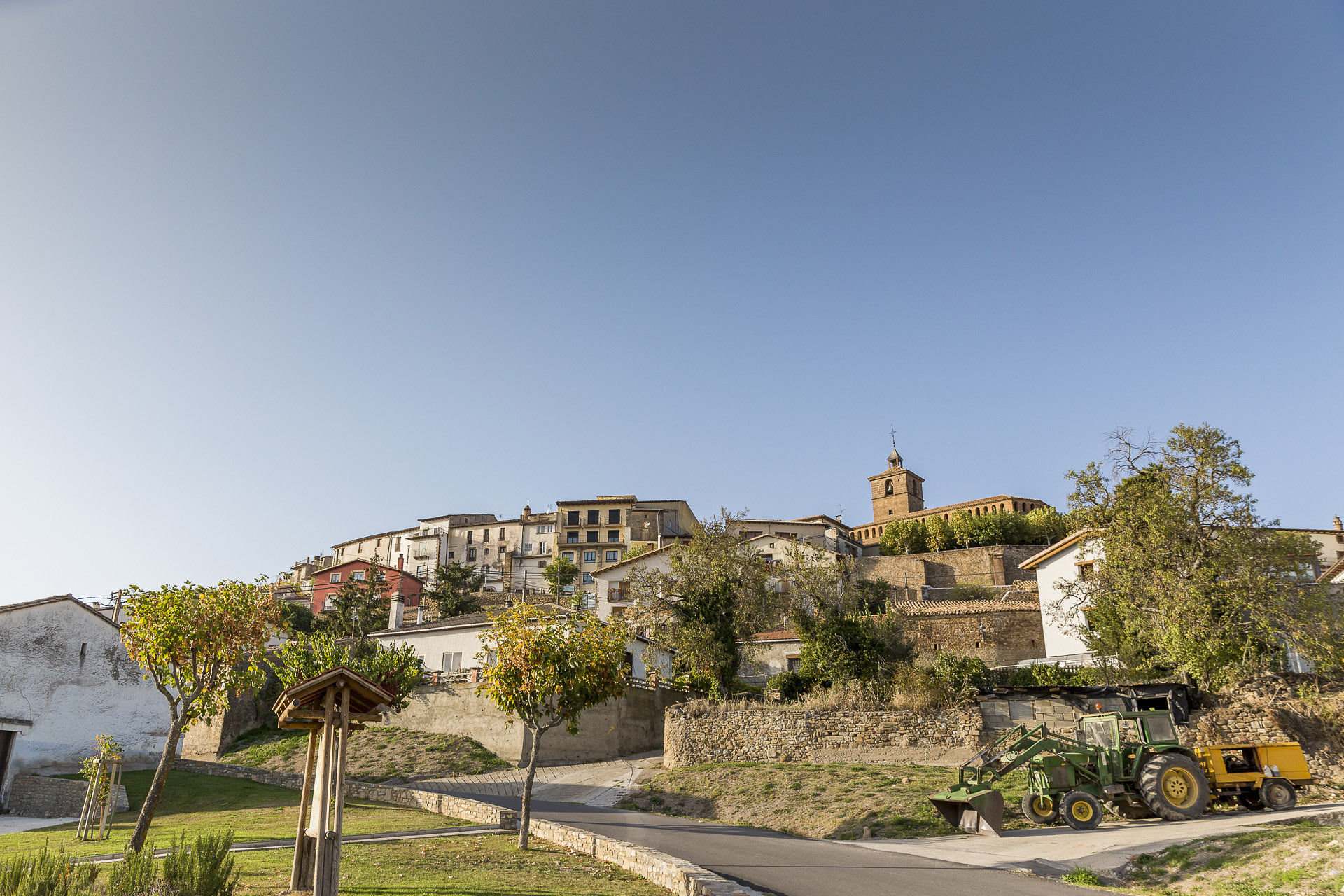
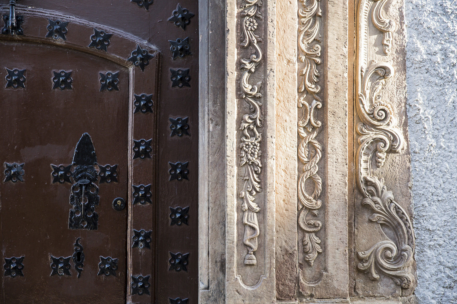
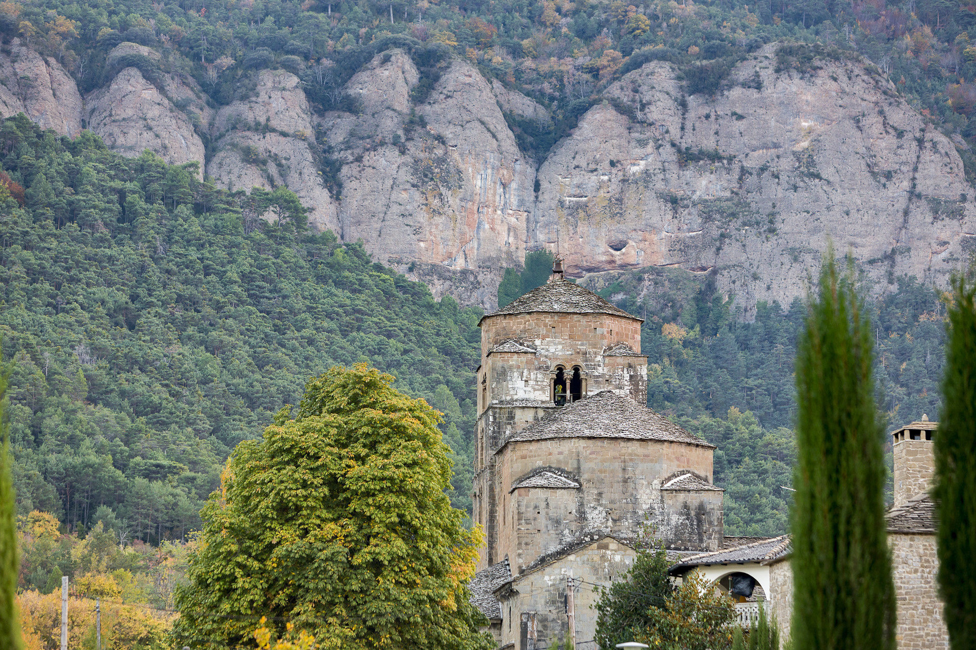
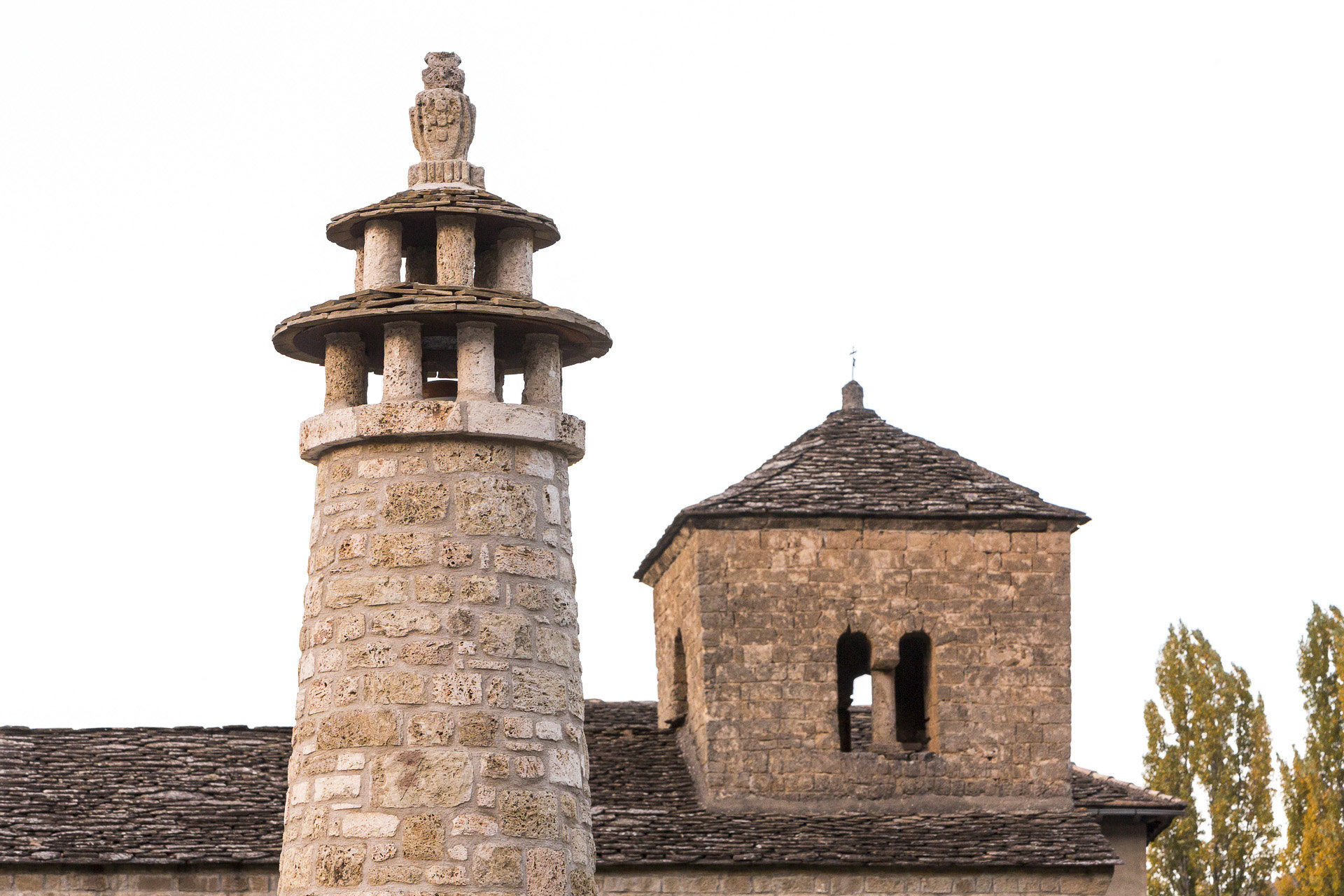
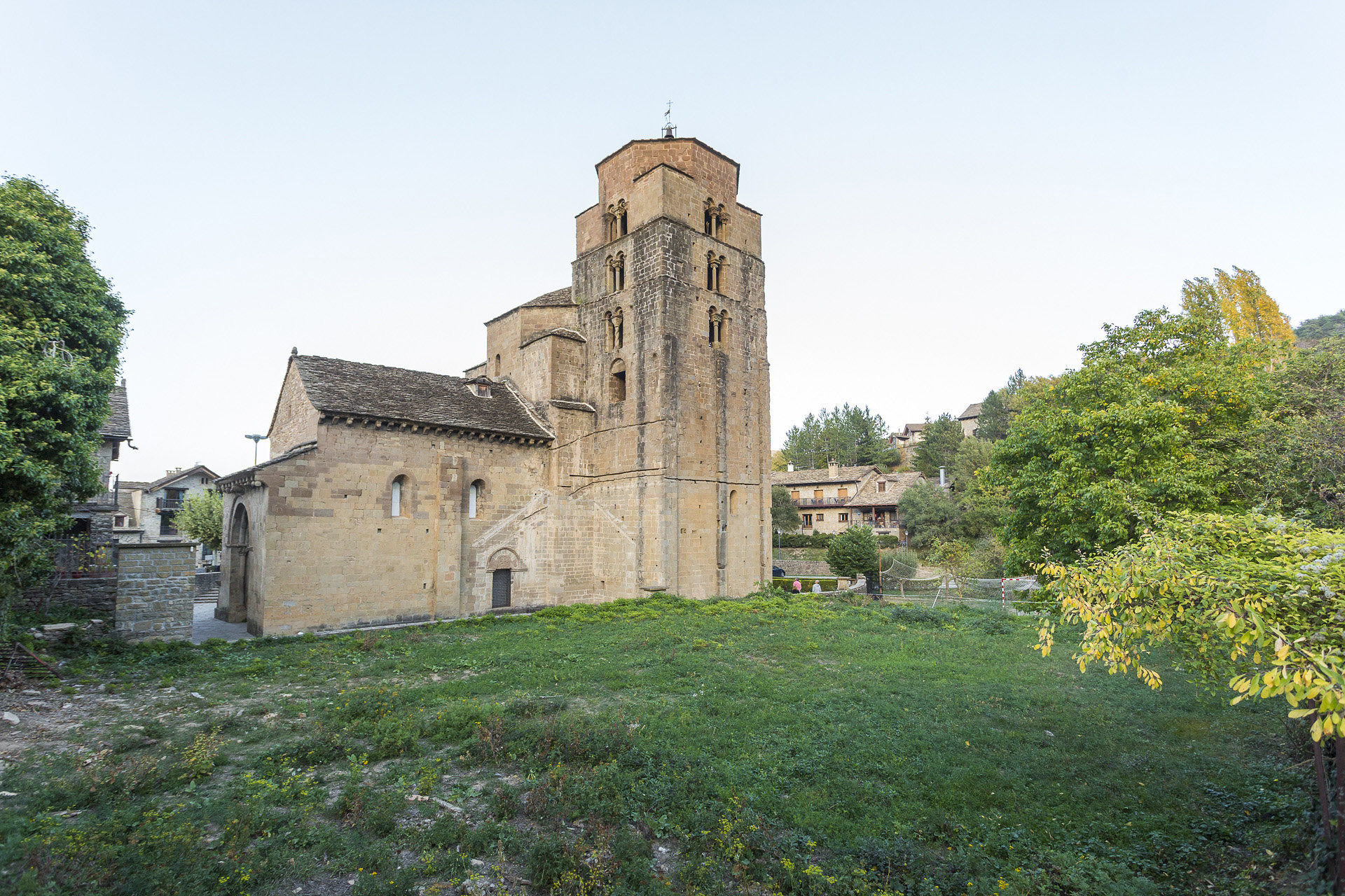
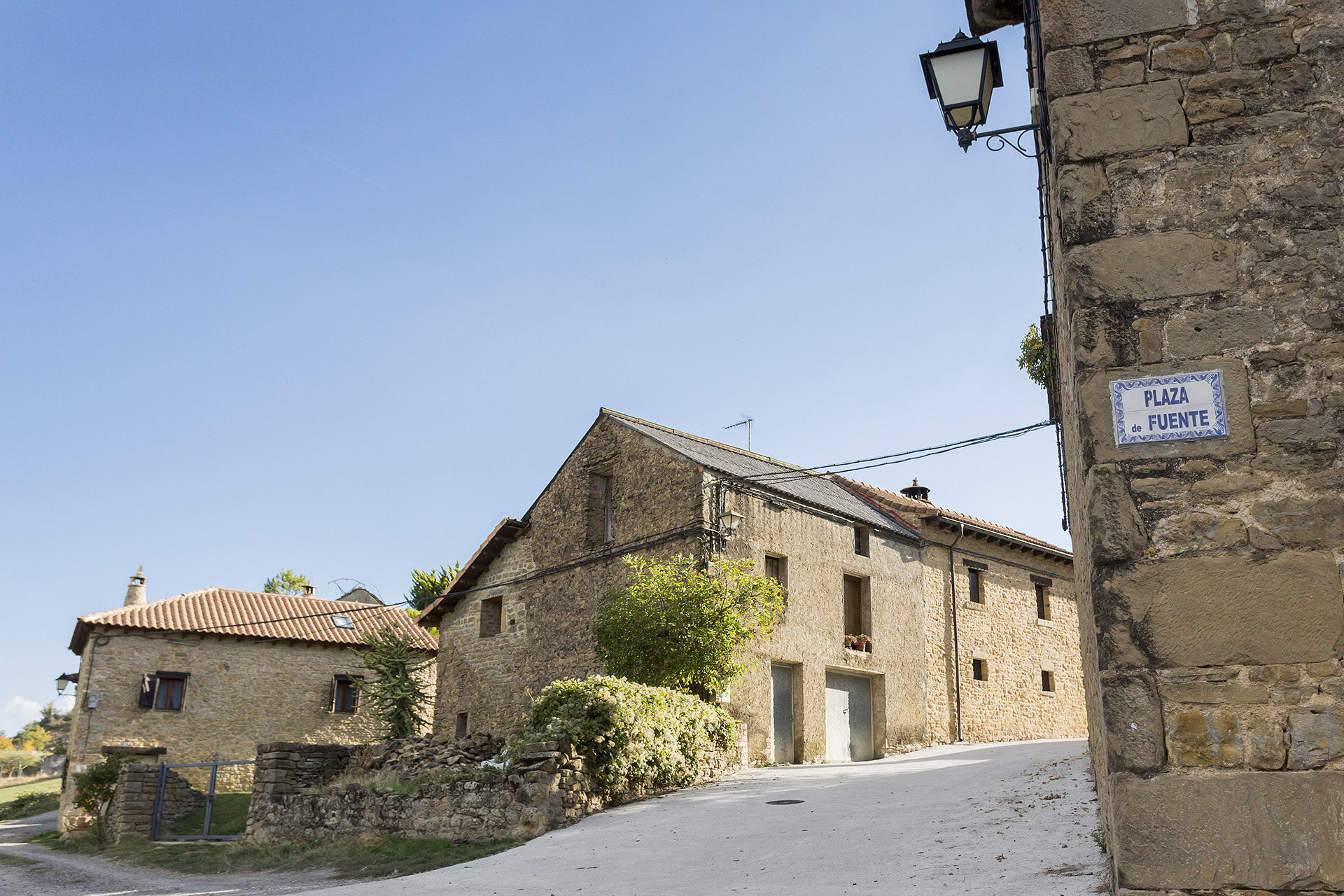
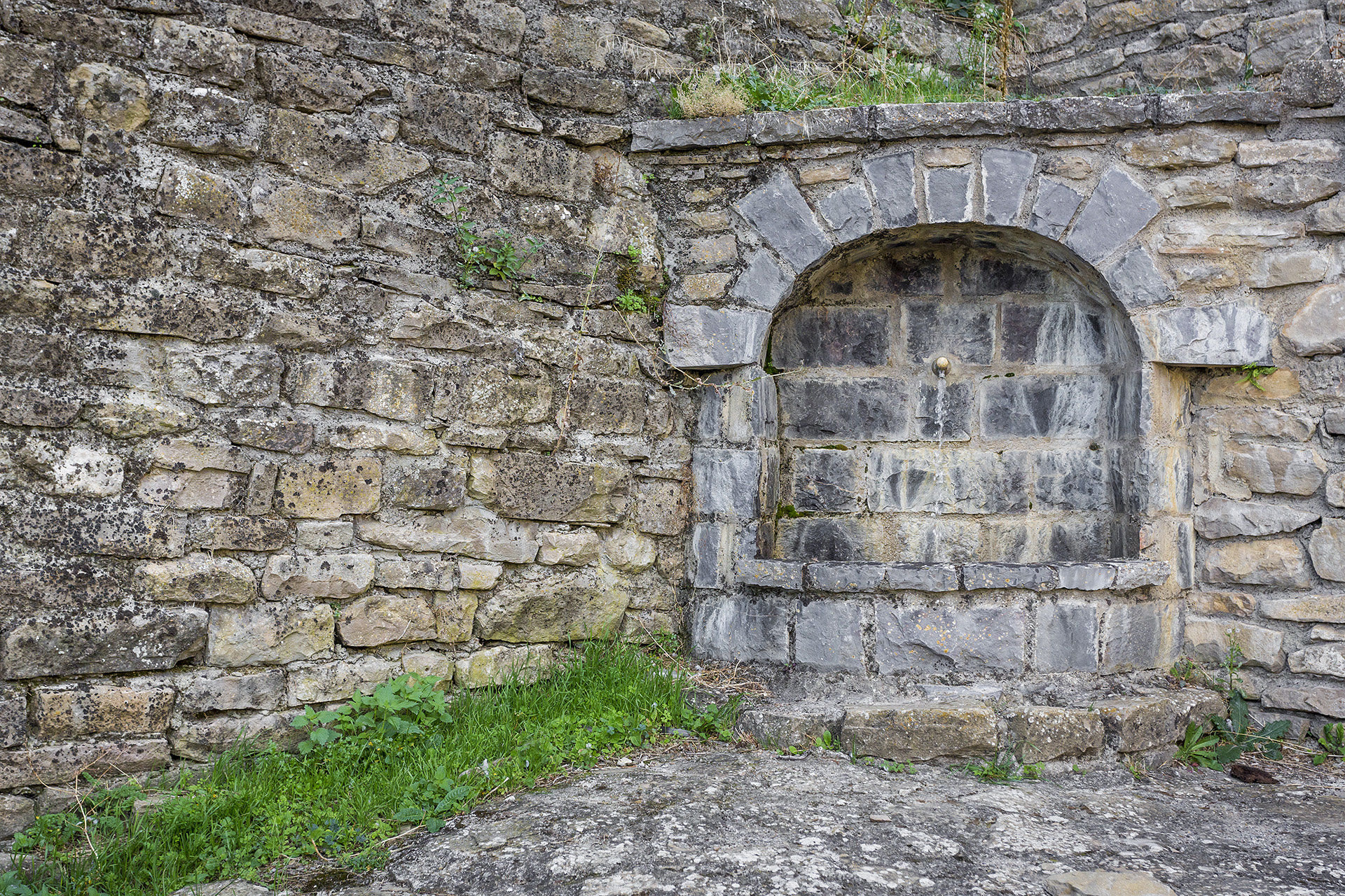
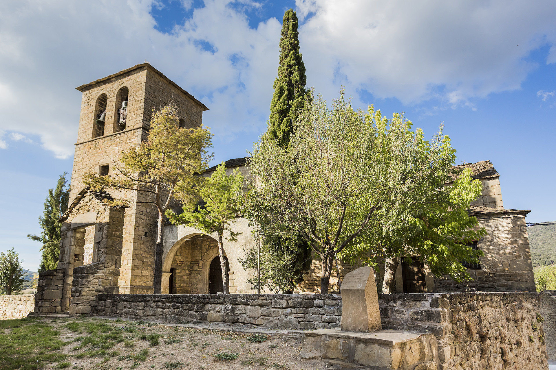
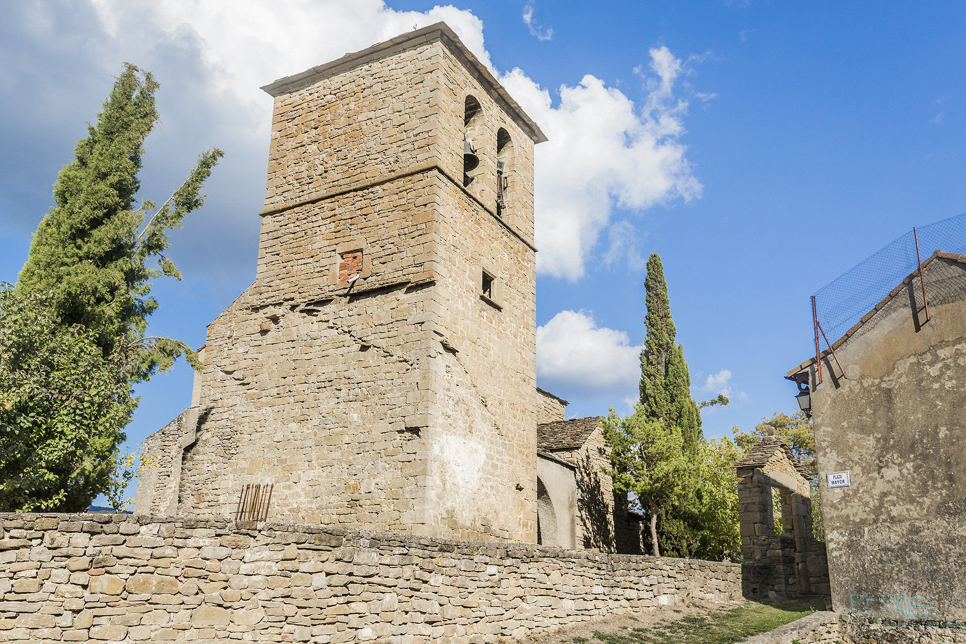
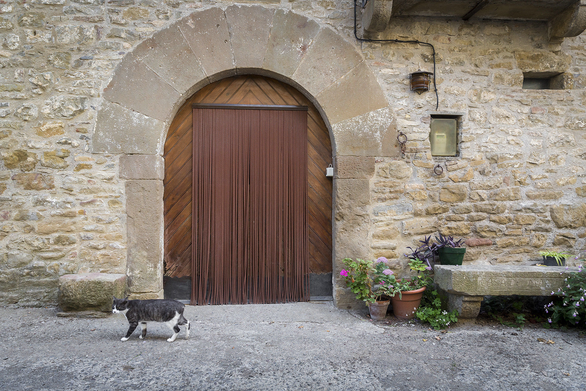
The village of Hecho/Echo, which gives its name to the valley, stands out for its well-preserved urban complex, famous for its particular traditional architecture. Walking through its streets means discovering a stone architecture, in which doors, walls, windows, balconies and chimneys are bestowed with their own personality. The church of San Martín, of Roman origin and from which you have a beautiful view of the city centre, the Casa Mazo ethnological museum, where you can admire the traditional costumes worn by the chesos until the end of the 20th century, or the open-air contemporary sculpture museum, make up an attractive enough panorama worthwhile stopping to visit.