The wonders of the Tena Valley and the Serrablo Region

This route takes us to the Alto Gállego region to discover the magic and charm of the Pyrenean landscape. The headwaters of the Gállego River and its tributaries are the main axis of the region. South of the river lies the Serrablo region, where we can enjoy its beautiful Romanesque churches, such as those of Lárrede, San Juan de Busa, Oliván…. We will also enjoy a magnificent view of the valley from its various lookout points: Forests, lakes,… and the beautiful Lanuza and Búbal reservoirs. The great wealth of rivers makes the Alto Gállego region the perfect place for practising exciting sports activities, as well as for travelling through countless hiking and cycling routes…. We will visit charming villages with typical Pyrenean architecture; we will enjoy ourselves with the family while observing animals in semi-freedom in Lacuniacha or feel the thrill of the spectacular rope slide in Hoz de Jaca. And if you are looking for relaxation, there is nothing better than skiing in the Formigal and Panticosa resorts or bathing in the thermal waters amidst a spectacular landscape.

Details of interest

  • Distance:
    147 km

    Estimated time without stops :3h 19 m

    Recommended stages :3

Recommended stages

    1. Lárrede-Hoz de Jaca
    2. Hoz de Jaca-Panticosa-Sallent de Gállego
    3. Sallent de Gállego-Tramacastilla de Tena- Búbal
    1. Búbal – Tramacastilla de Tena- Sallent de Gállego
    2. Sallent de Gállego – Panticosa – Hoz de Jaca
    3. Hoz de Jaca – Lárrede

Map of route

Directions and points of interest

Congratulations, you are going to enjoy the slow driving route "The wonders of the Tena Valley and the Serrablo Region".
Follow the directions that we give you below and don't miss any of the details of these really marvellous places. Let's go!

Points of the route "The wonders of the Tena Valley and the Serrablo Region"

DEPARTURE

Lárrede is a Spanish village that currently belongs to the municipality of Sabiñánigo in the province of Huesca. It belongs to the region of Alto Gállego, in the Autonomous Community of Aragón

near_me DEPARTURE

Lárrede is a Spanish village that currently belongs to the municipality of Sabiñánigo in the province of Huesca. It belongs to the region of Alto Gállego, in the Autonomous Community of Aragón

Lárrede local_hotelrestaurant

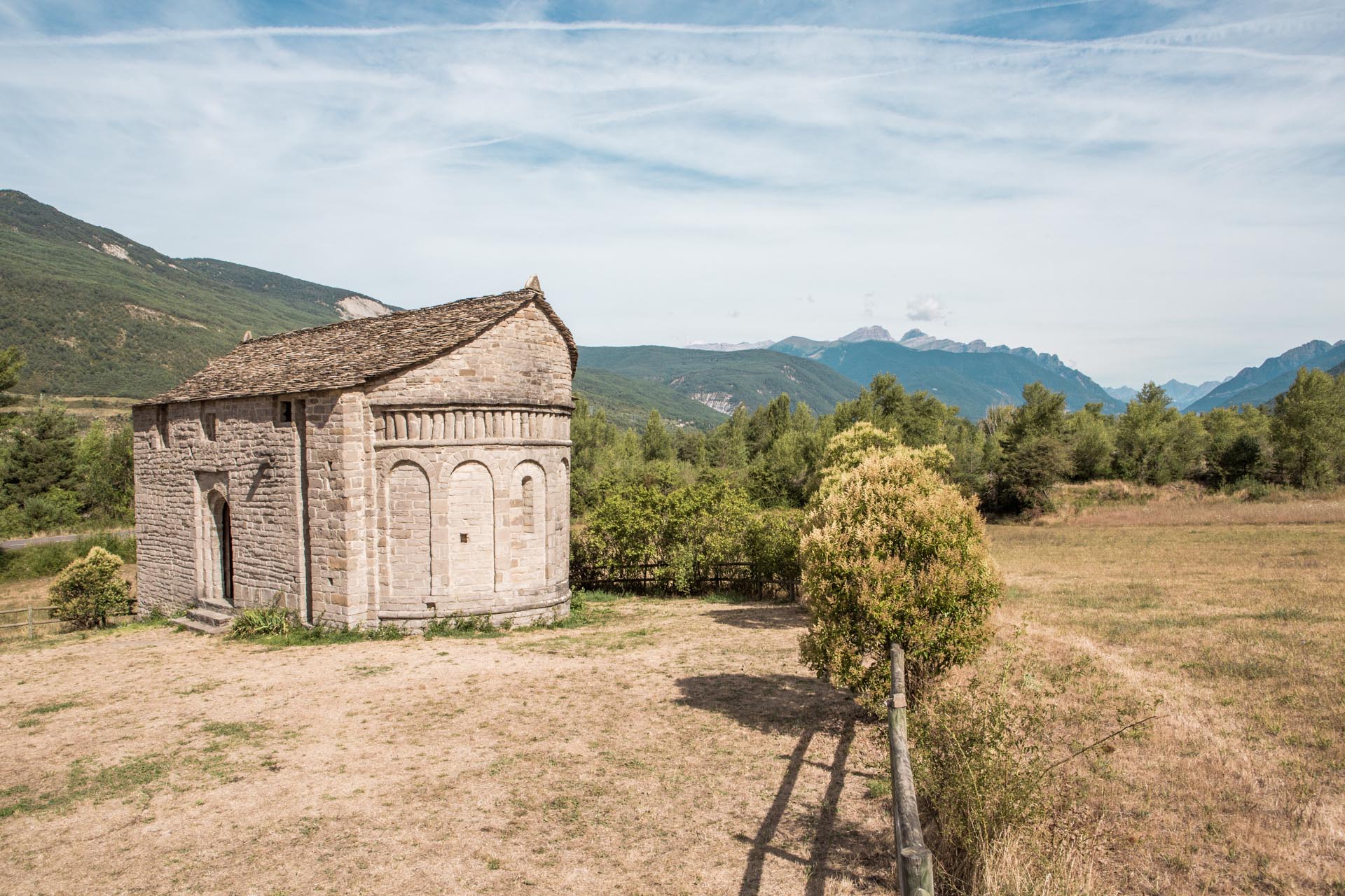
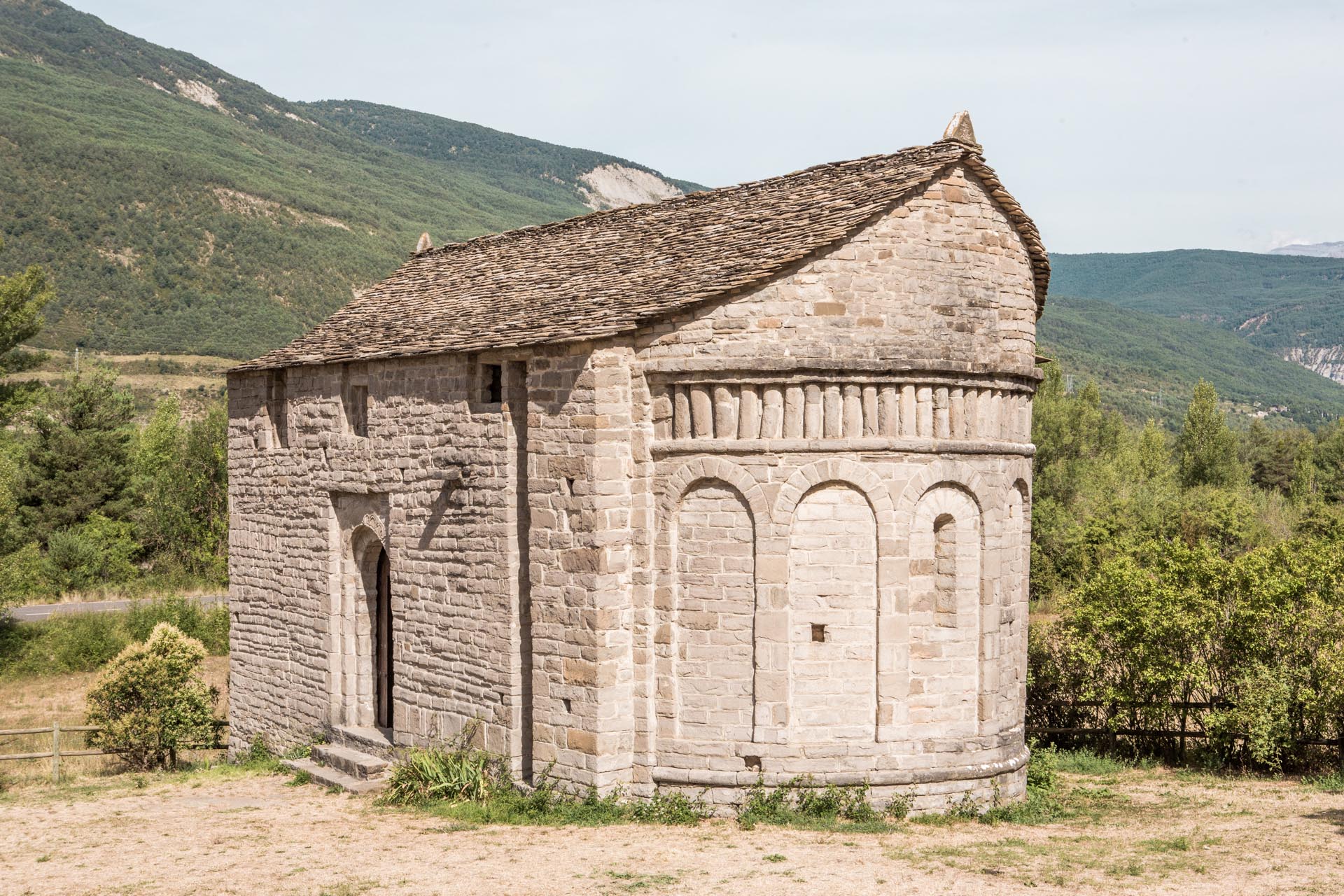
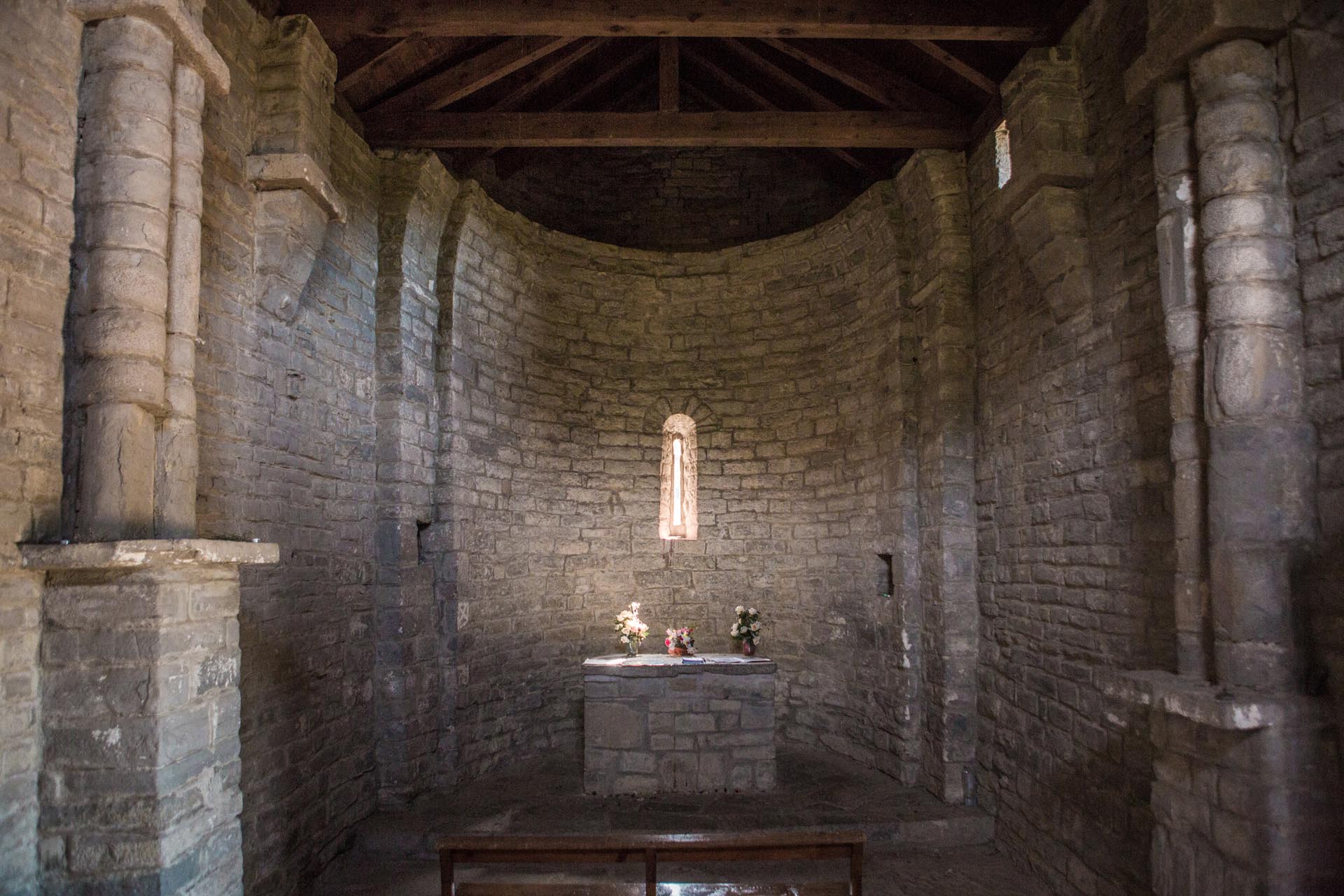
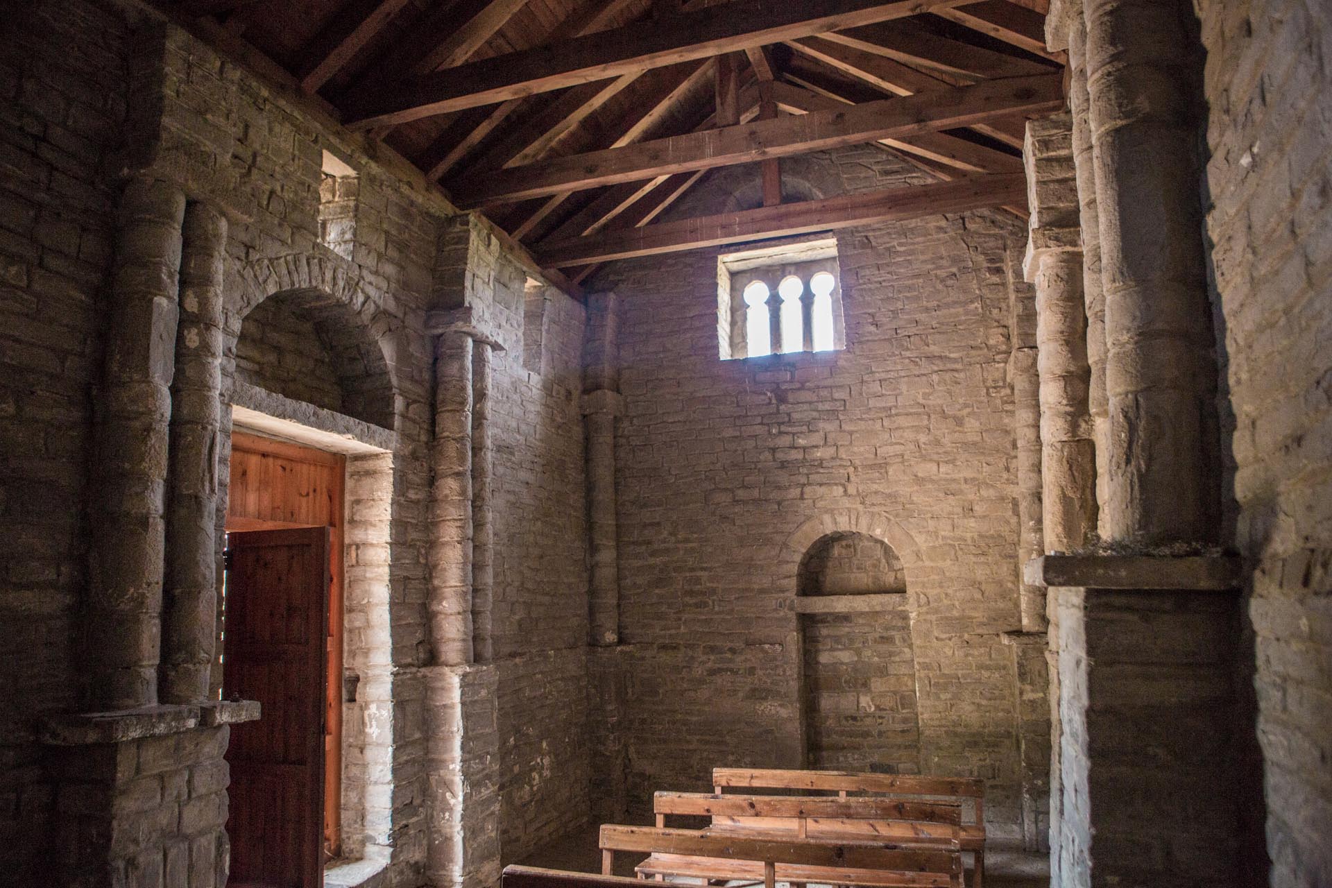
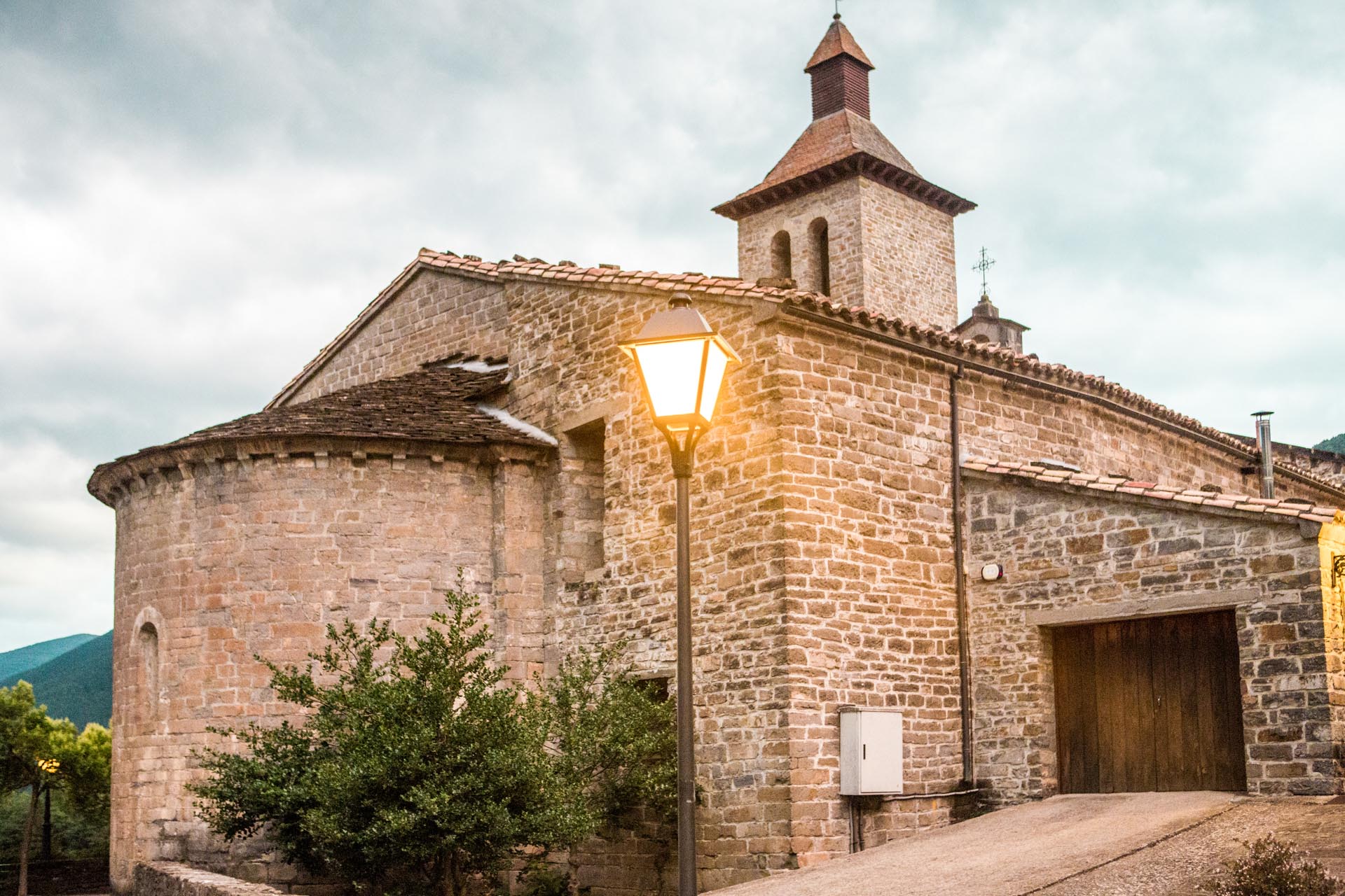
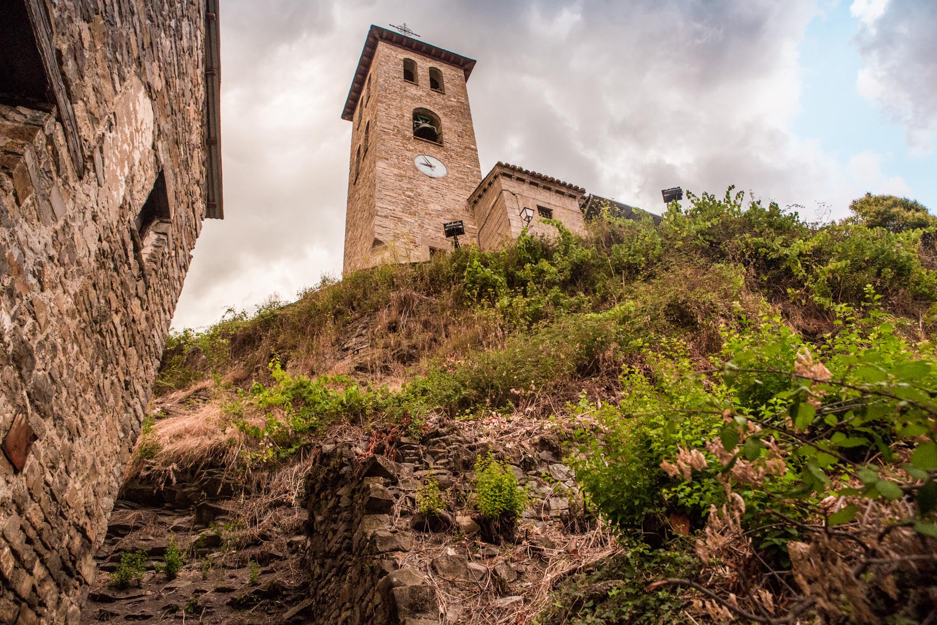
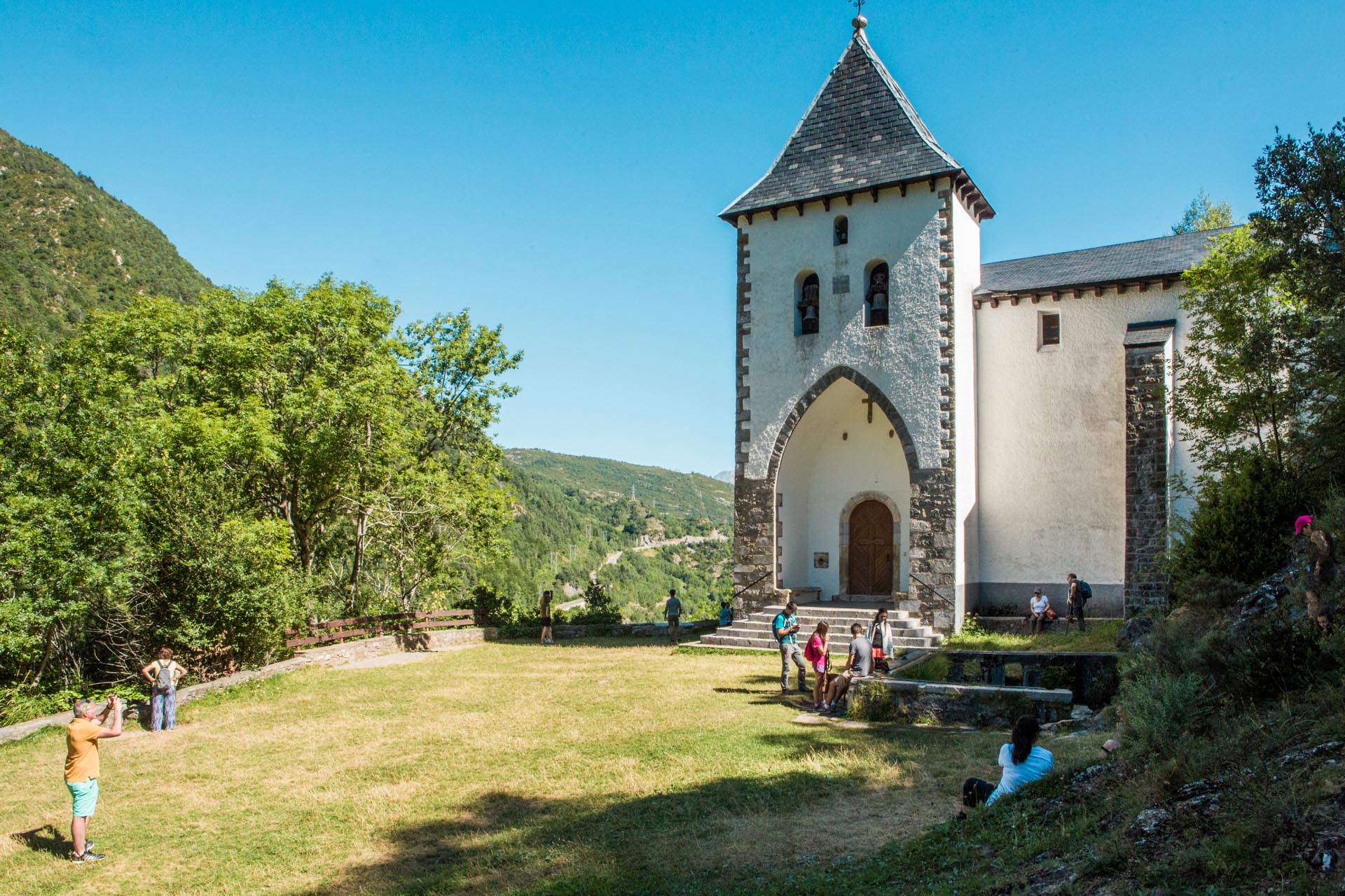
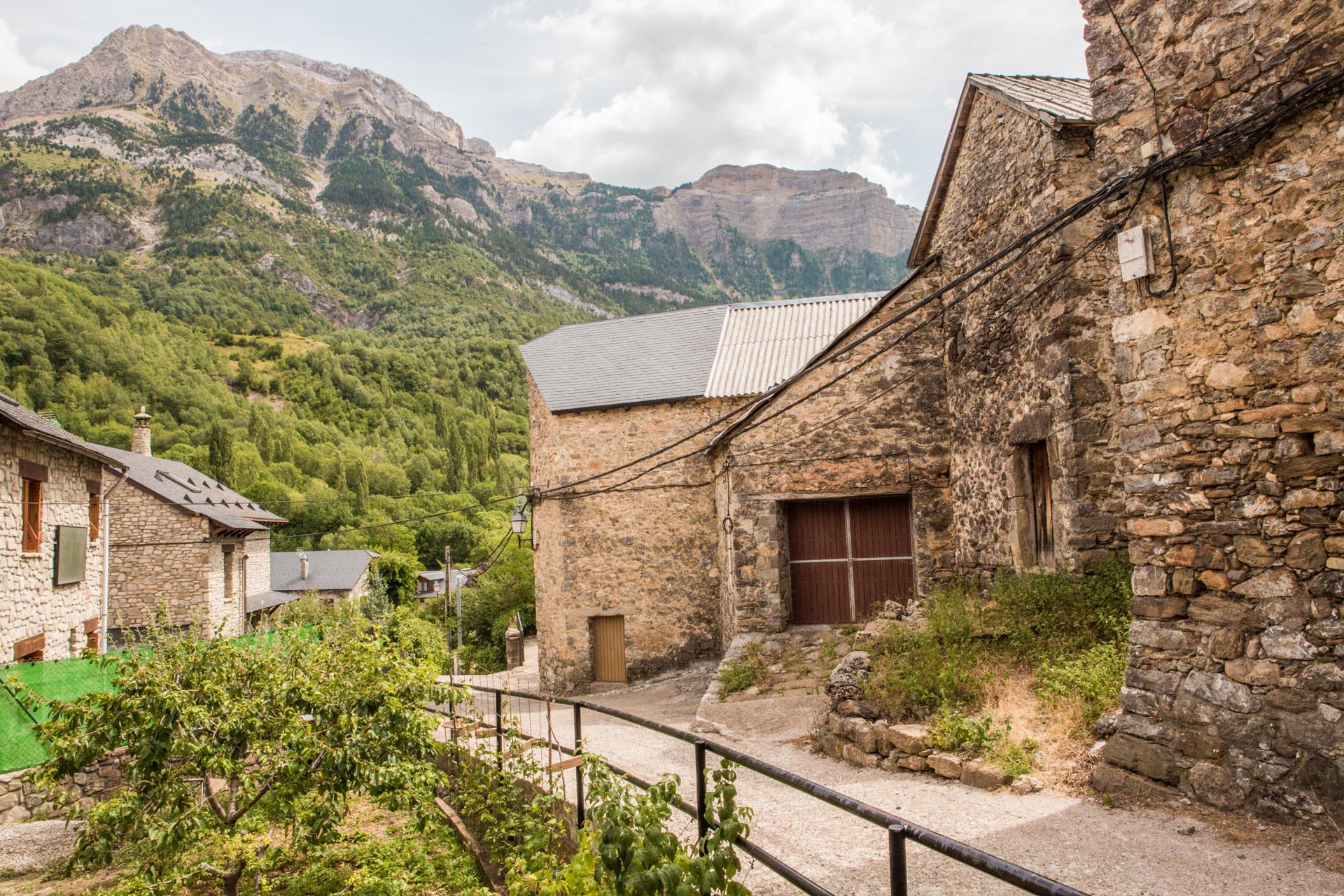
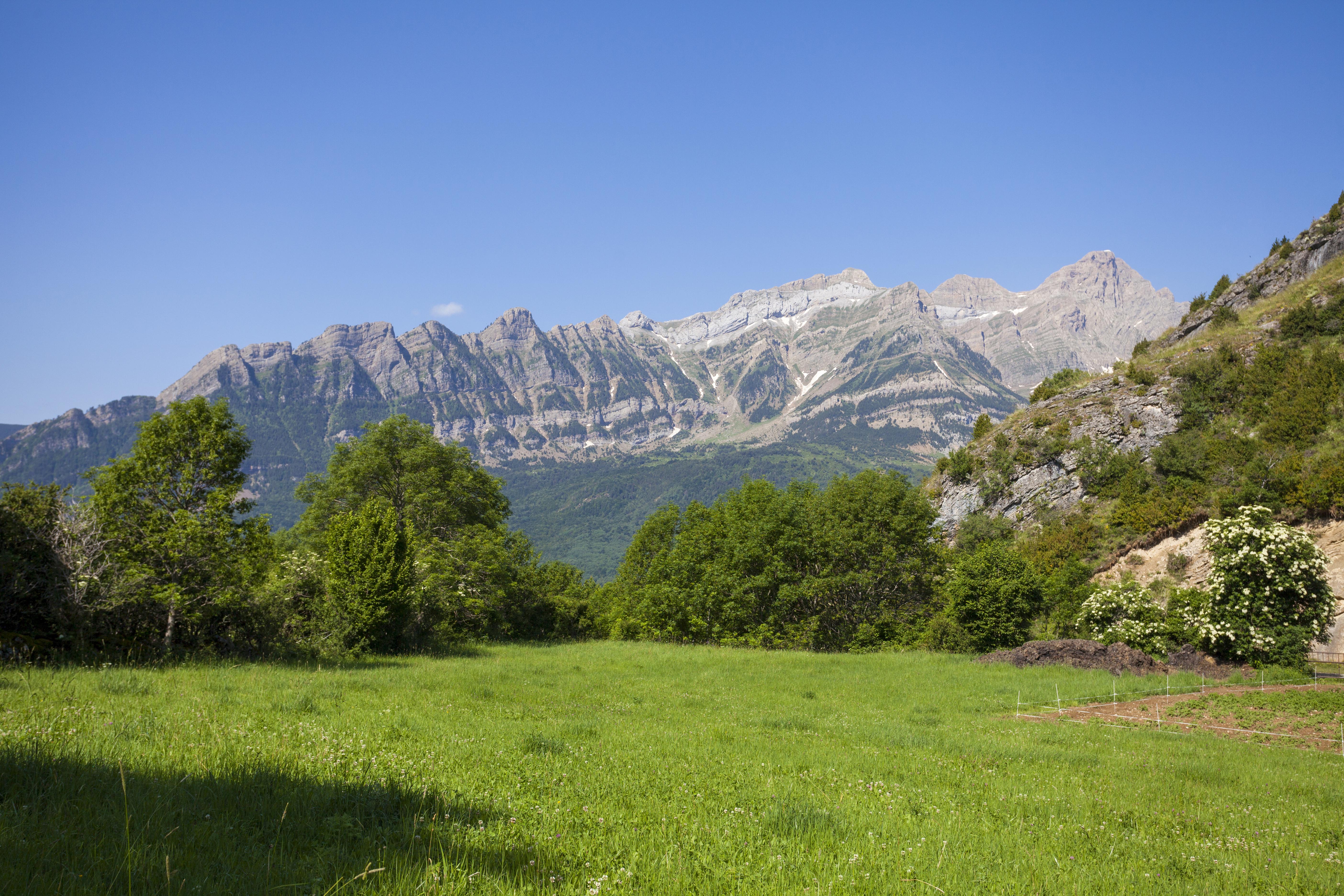
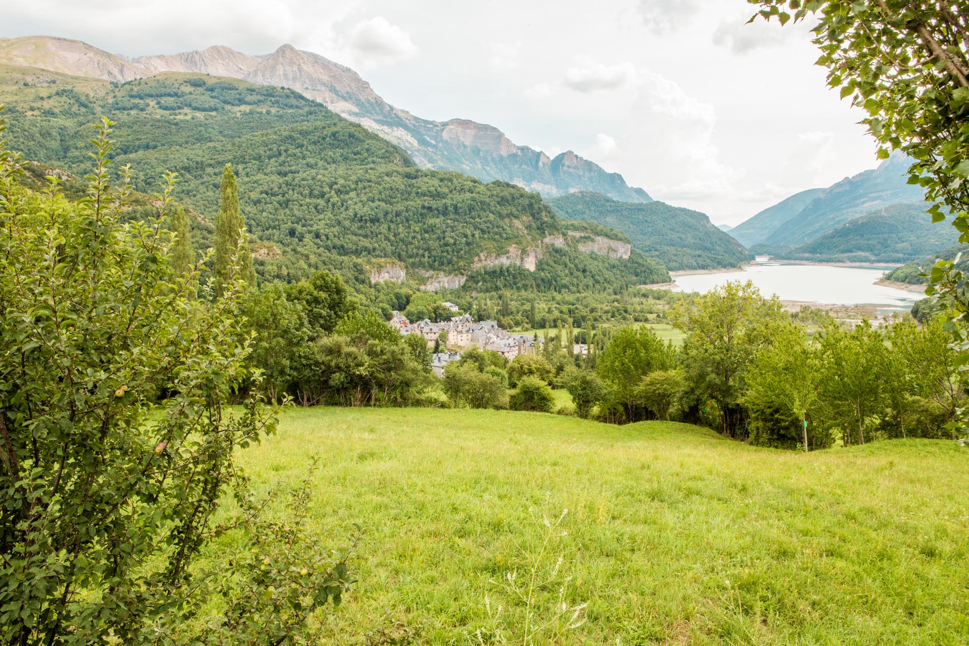
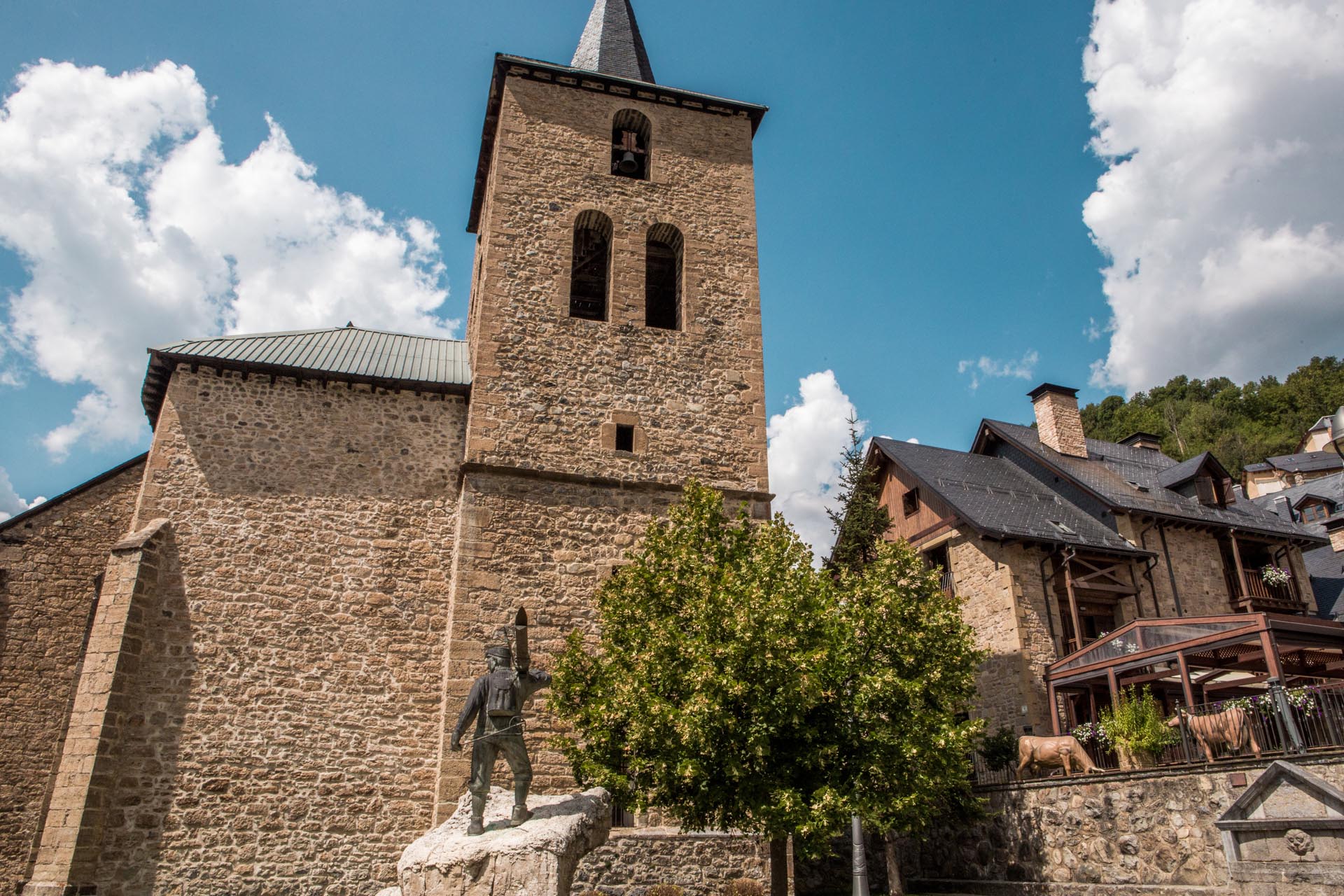
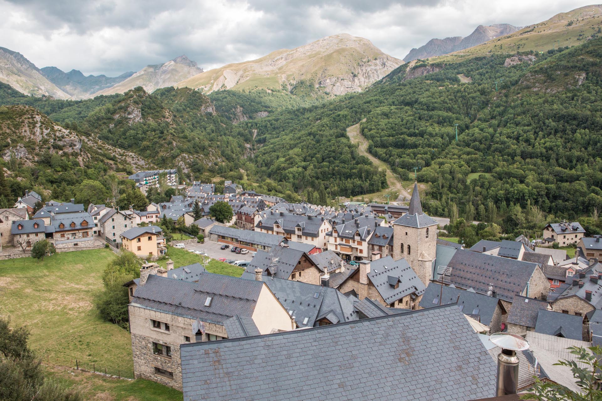
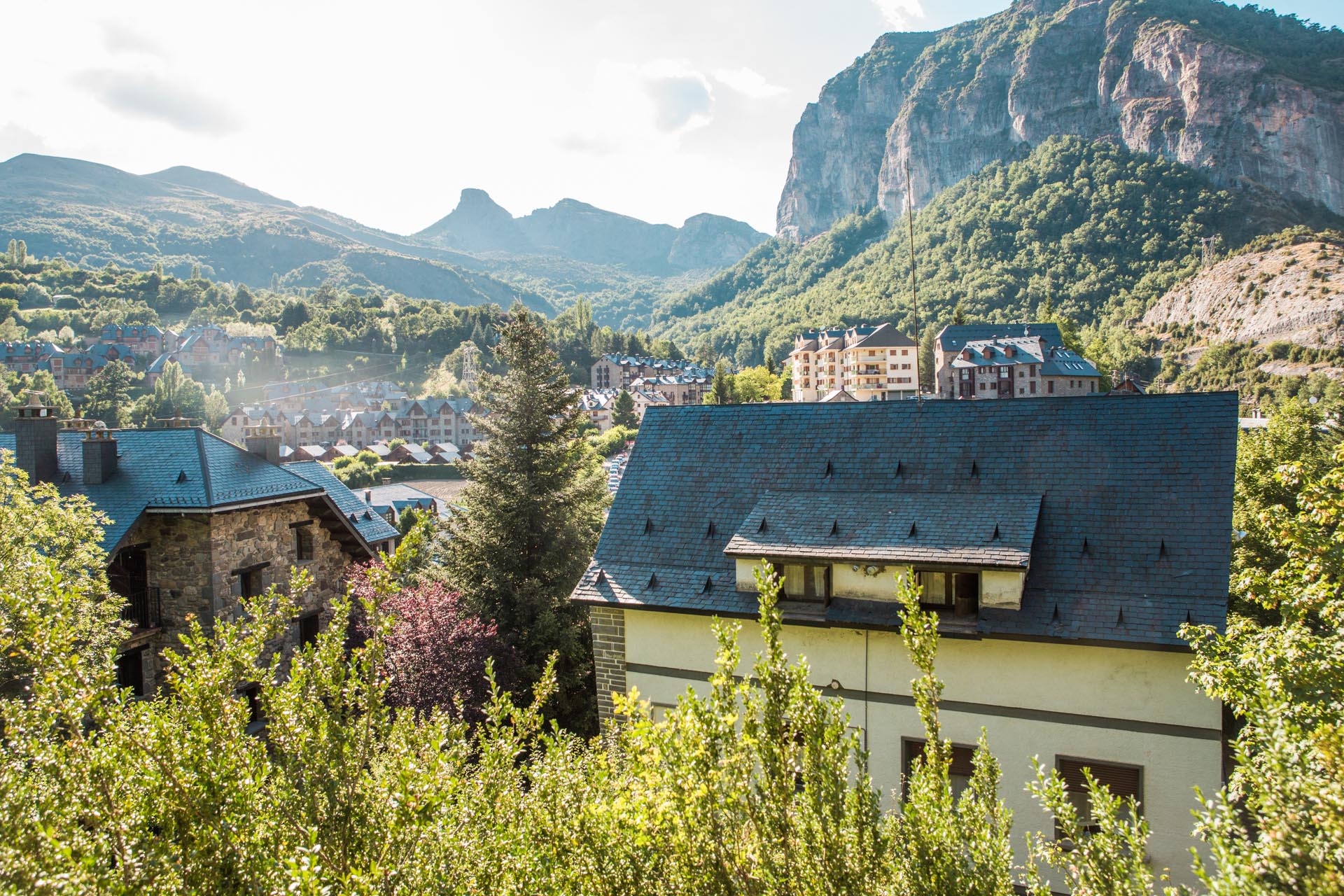
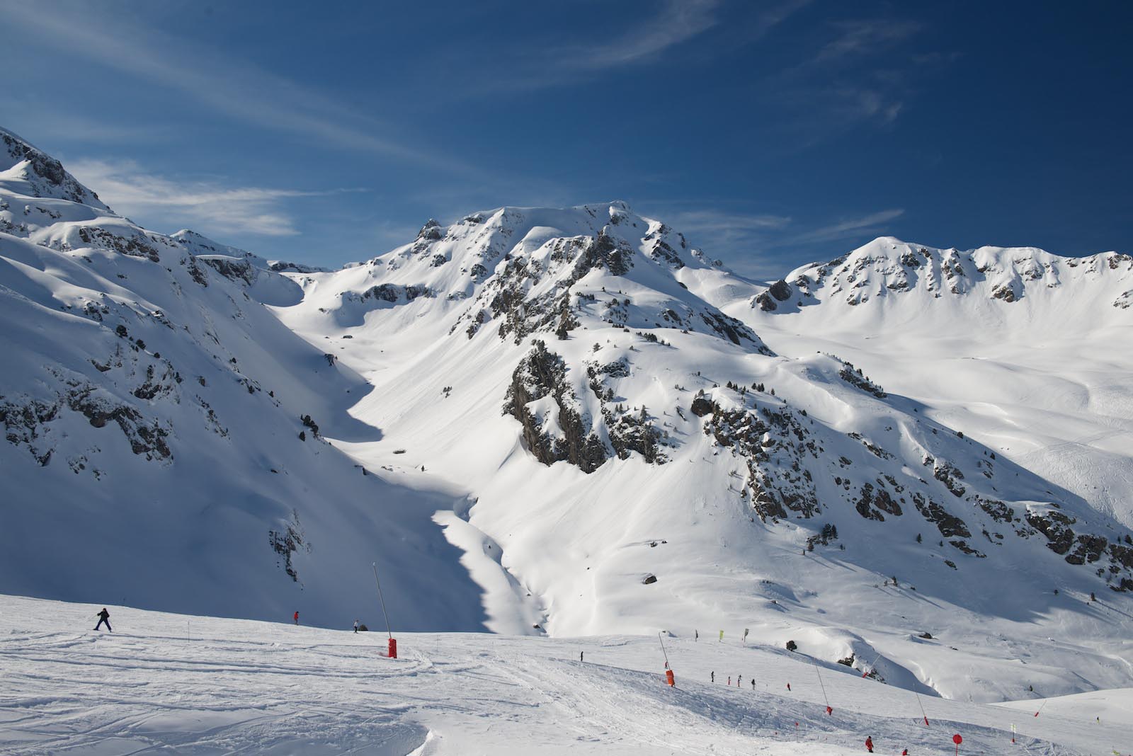
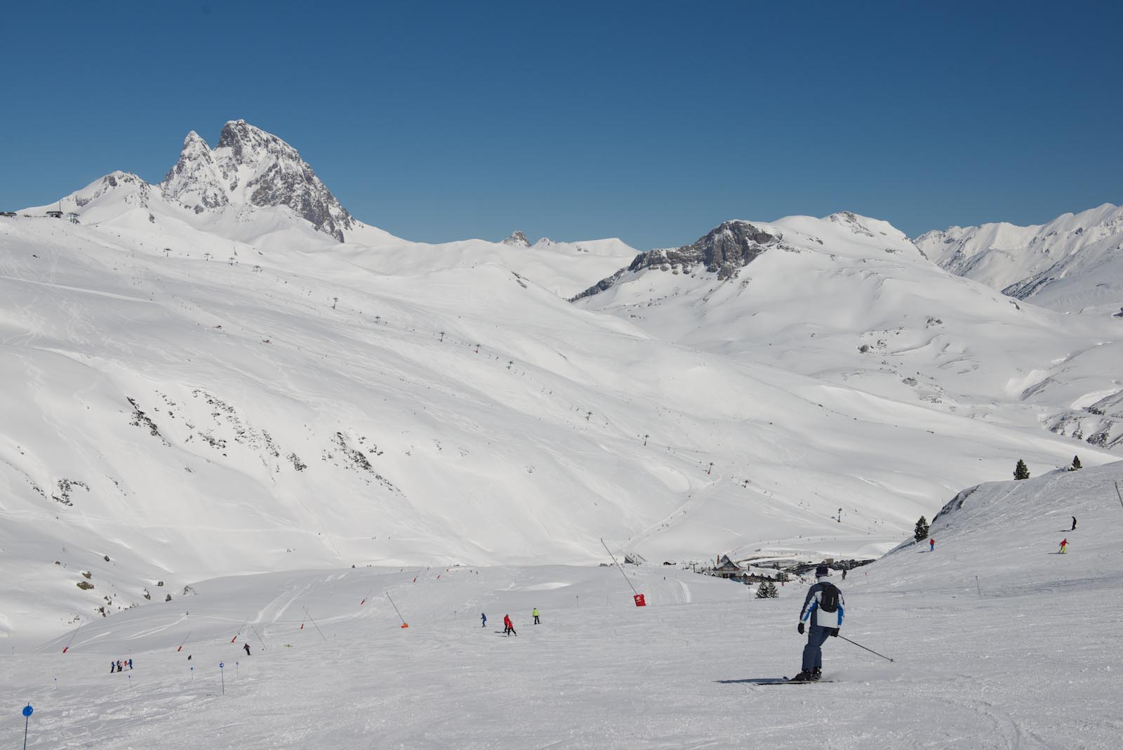
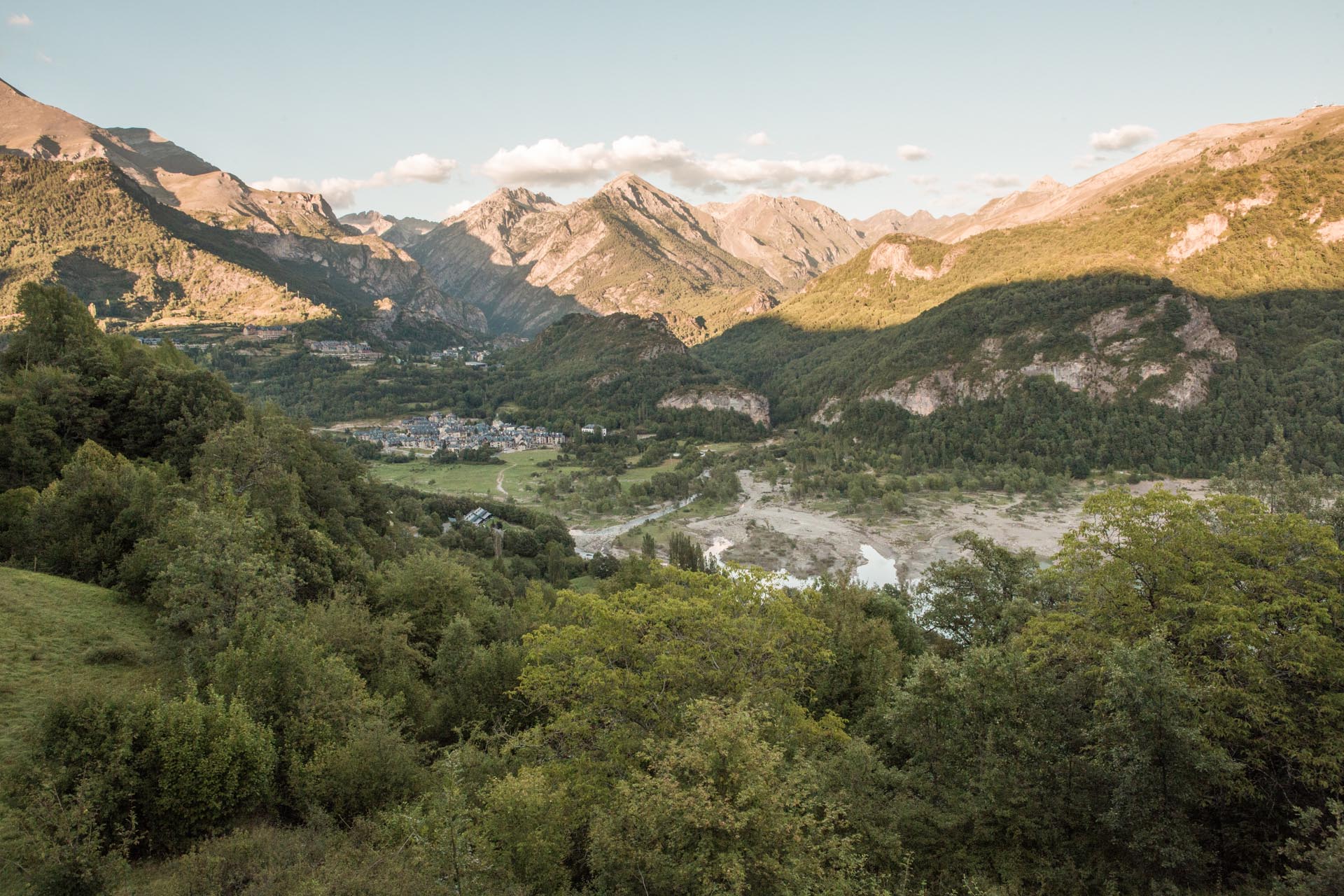
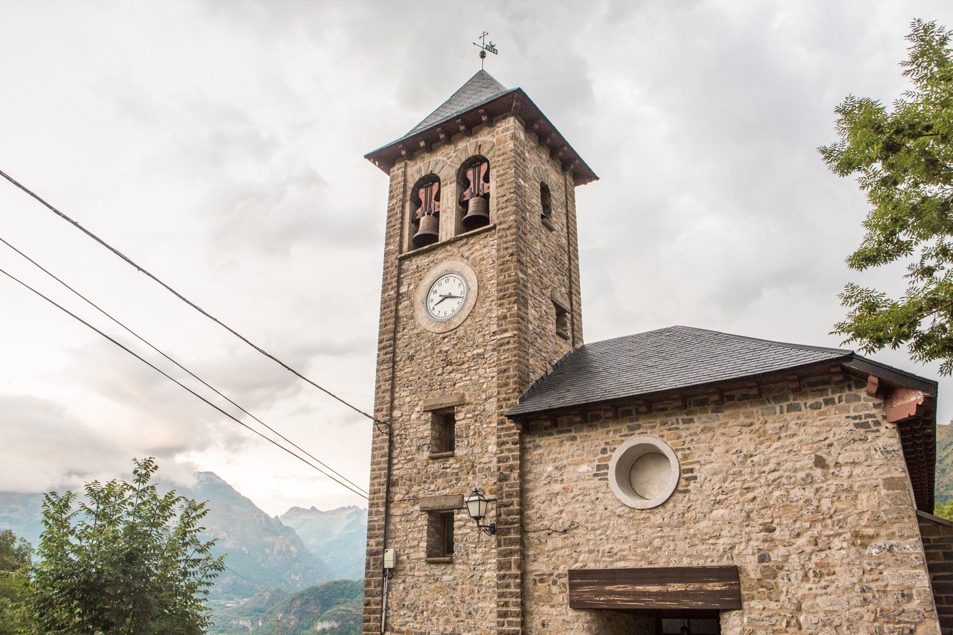
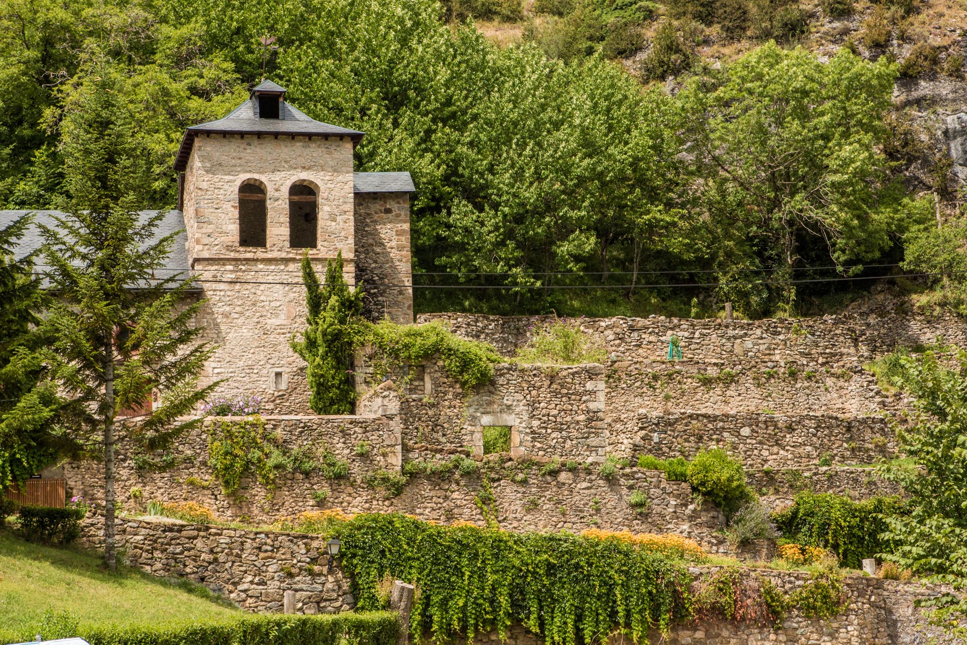
At the gates of the Aragonese Pyrenees and on the left bank of the Gállego, only 8 kilometres from Sabiñánigo, lies the beautiful municipality of Lárrede. The village is situated between the 15th-century defence tower called Torraza or Torre del Moro and the 10th-century San Pedro church, which is part of the “Route of the Serrablo Churches“.

The generic term Serrablo is precisely the one used by historians and specialists to bring under the same name a group of Lombard-Romanesque churches built between the 10th and 11th centuries, with a series of homogeneous stylistic peculiarities. San Pedro de Lárrede is the best and most unique example of this beautiful group.

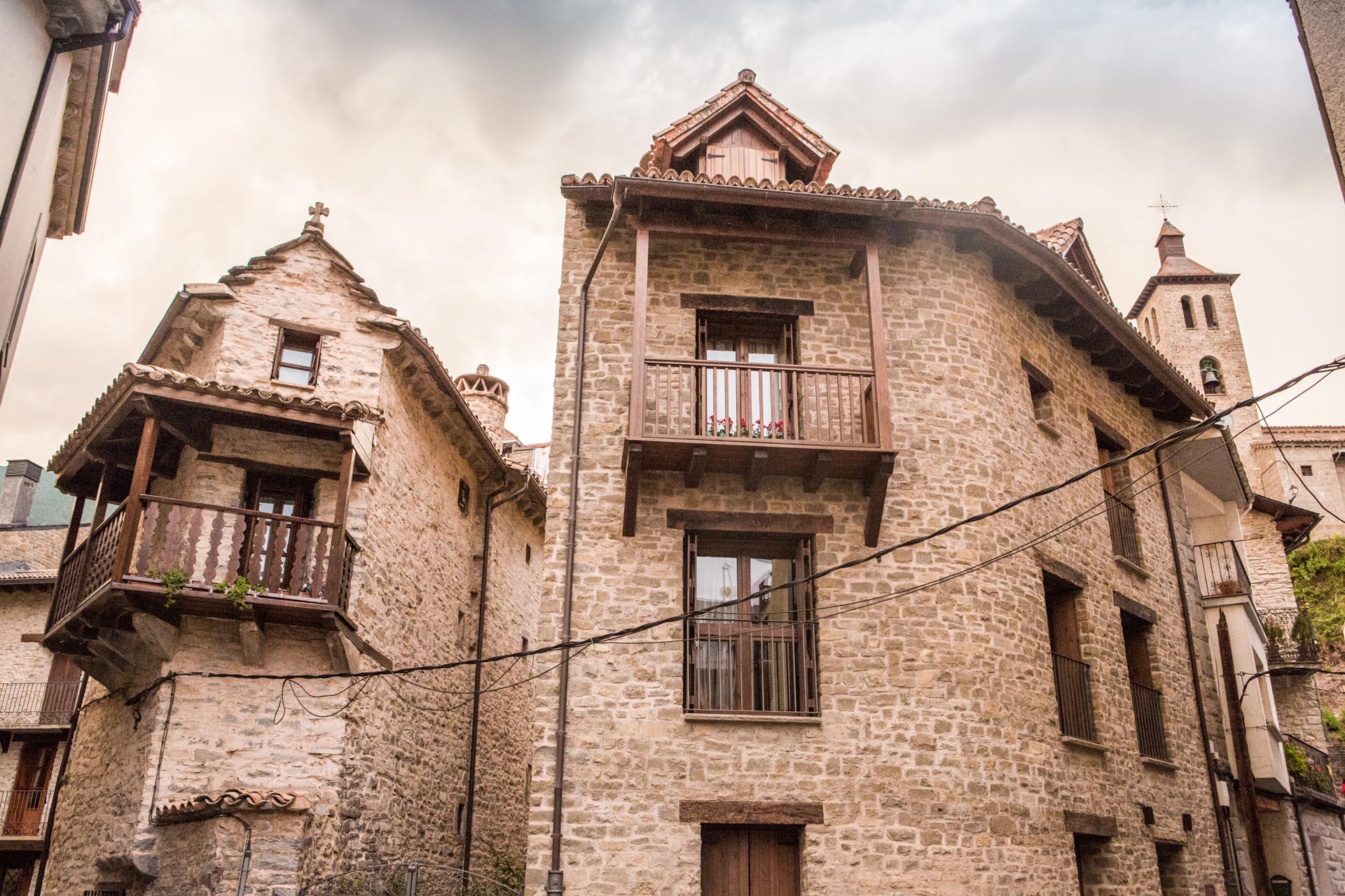
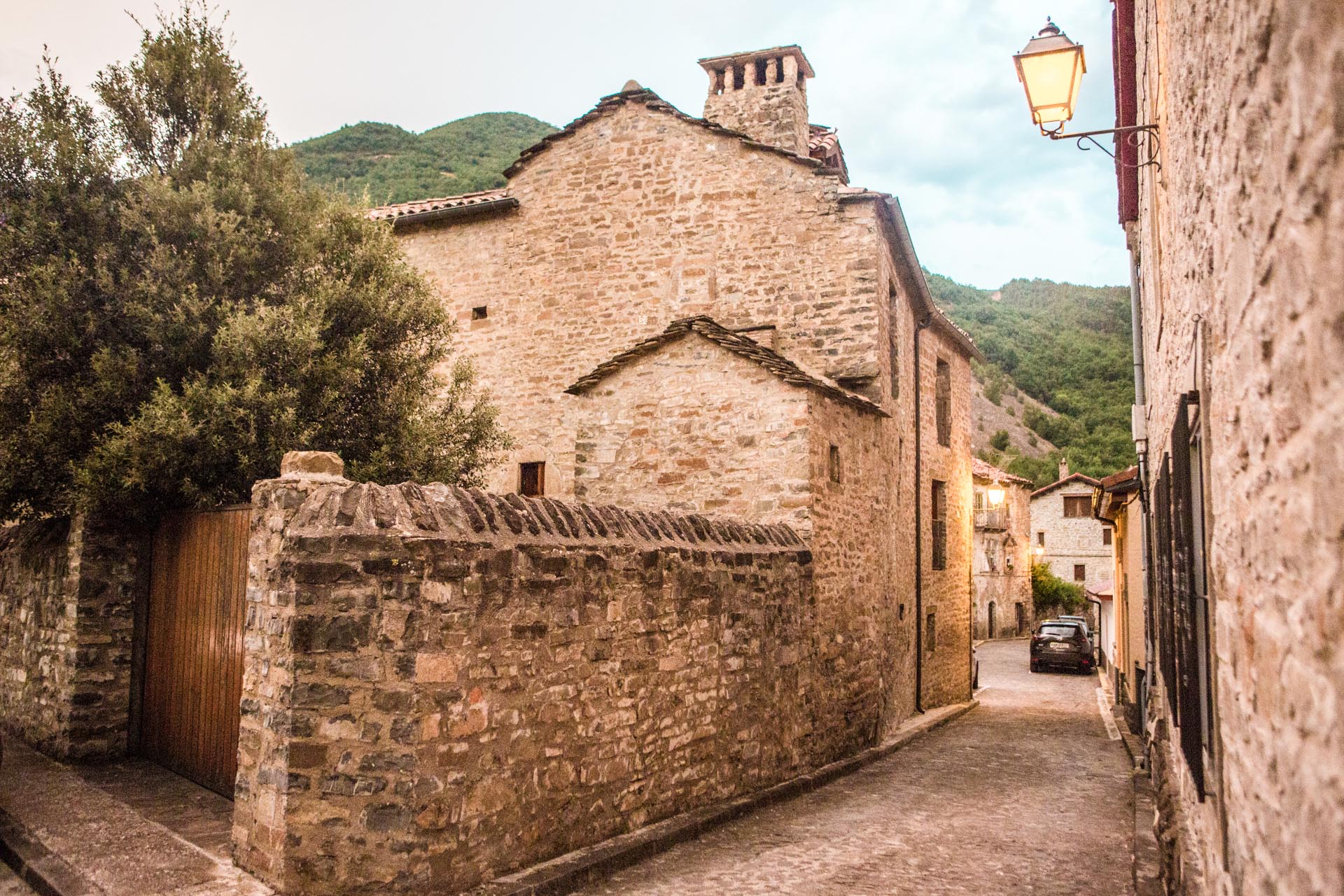
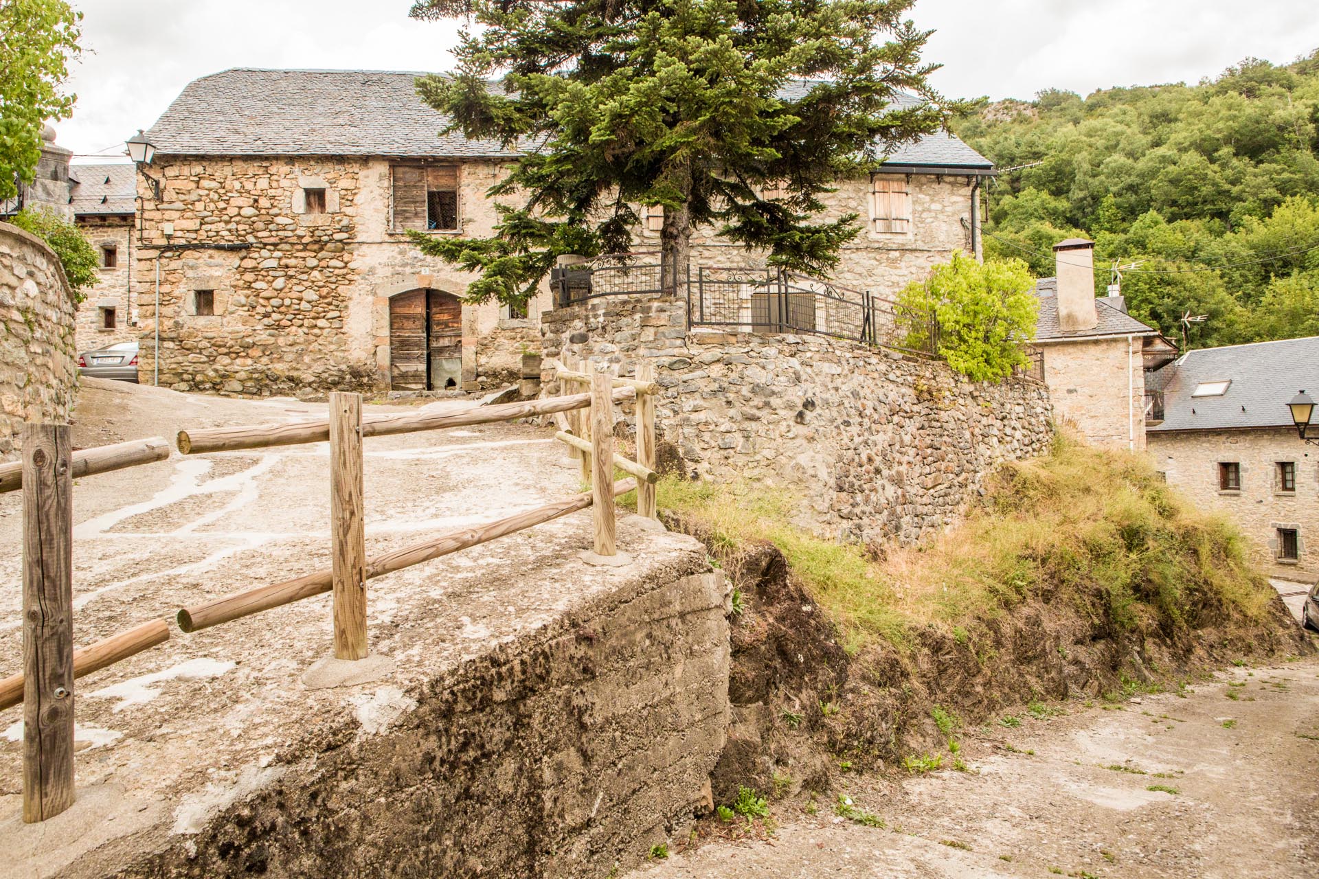
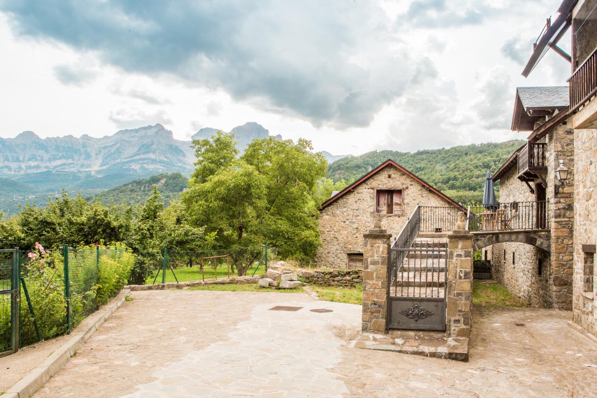
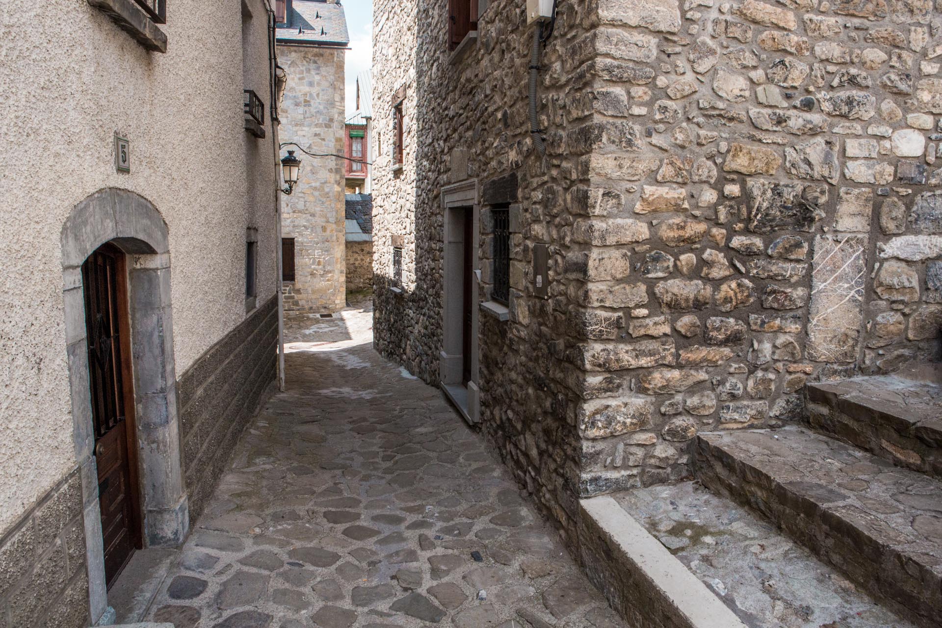
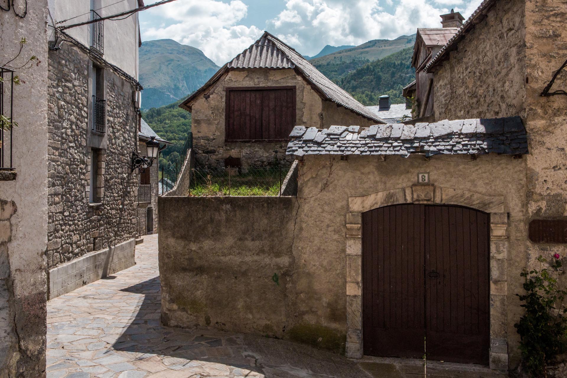
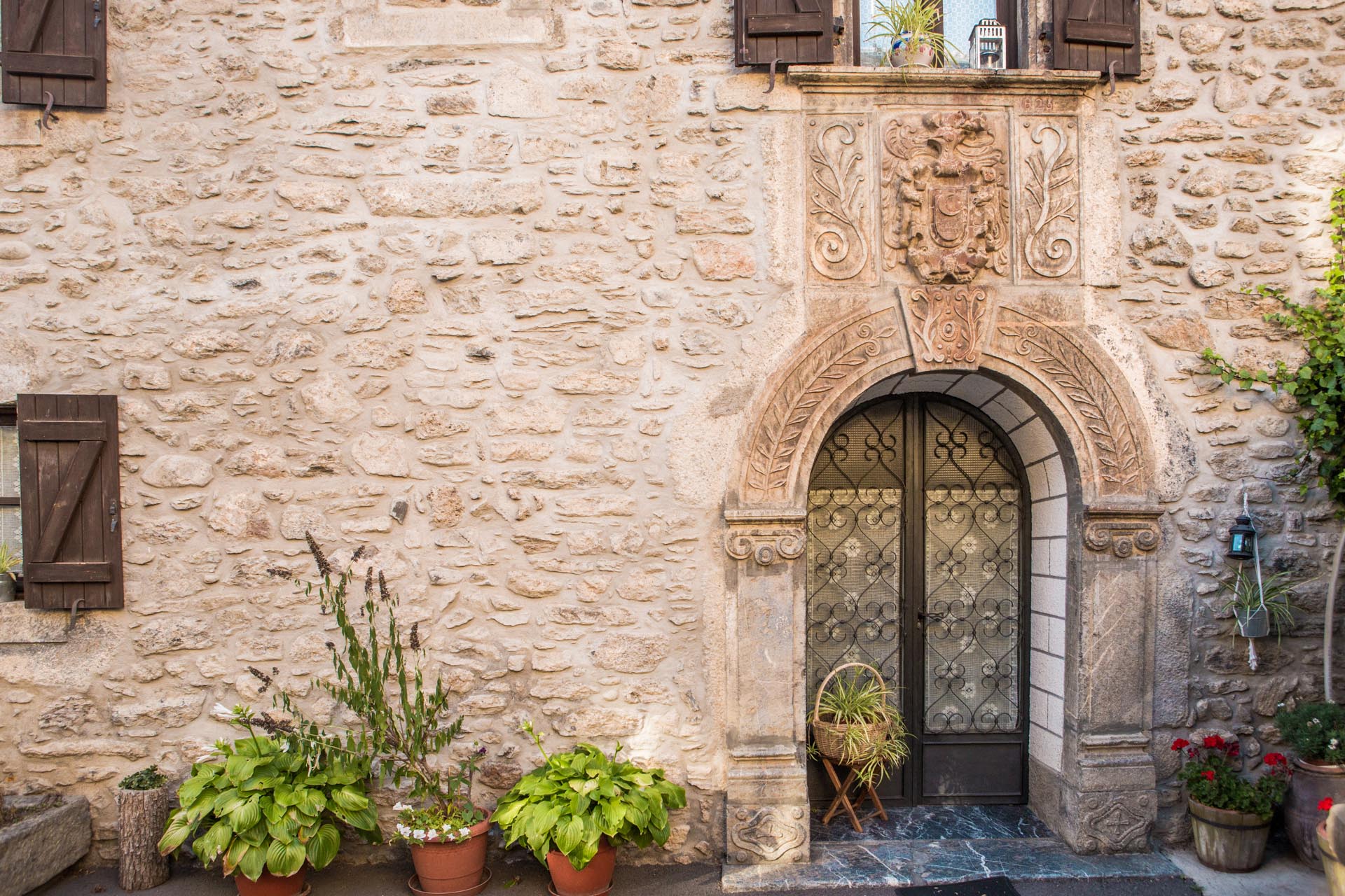
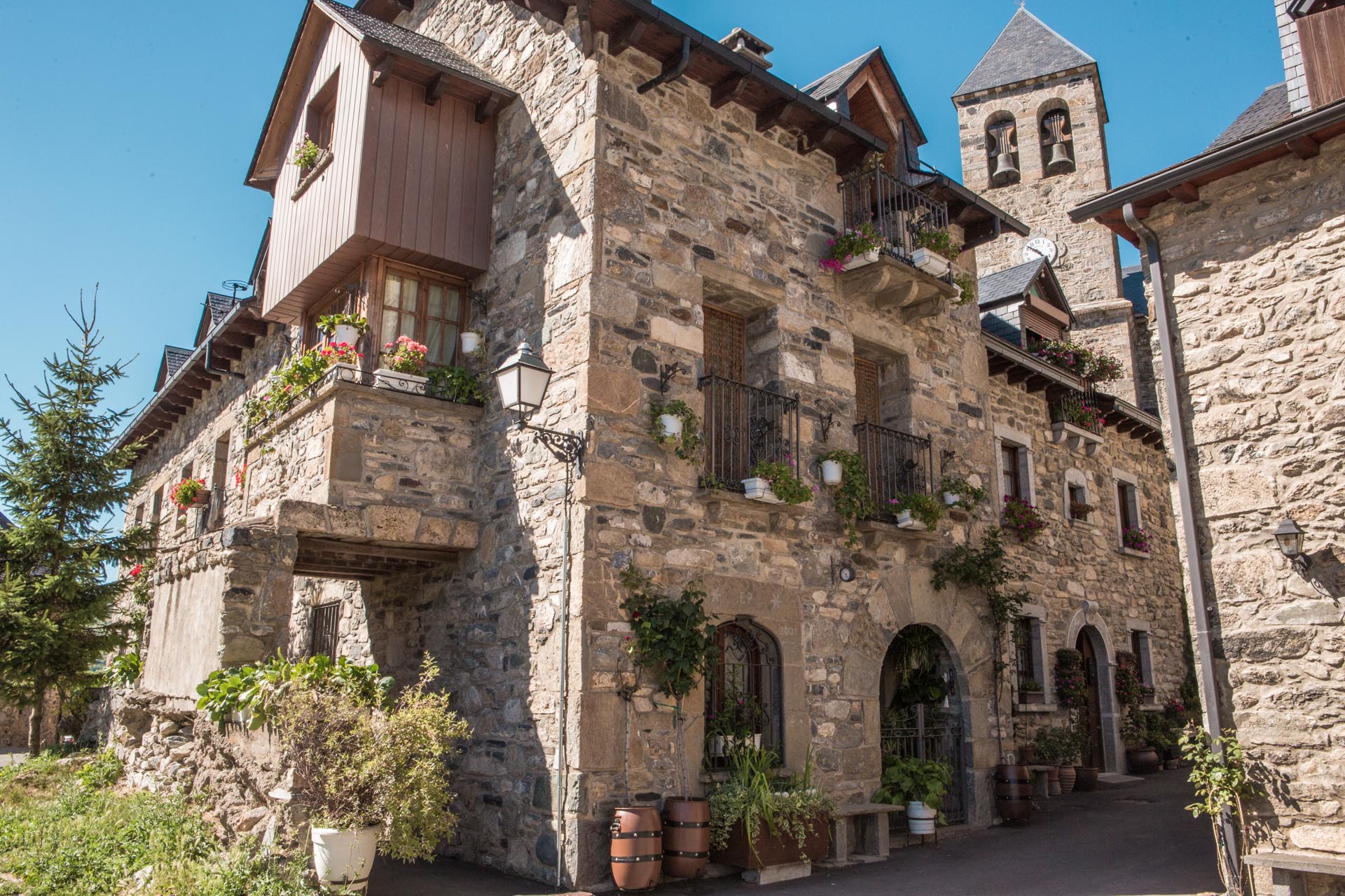
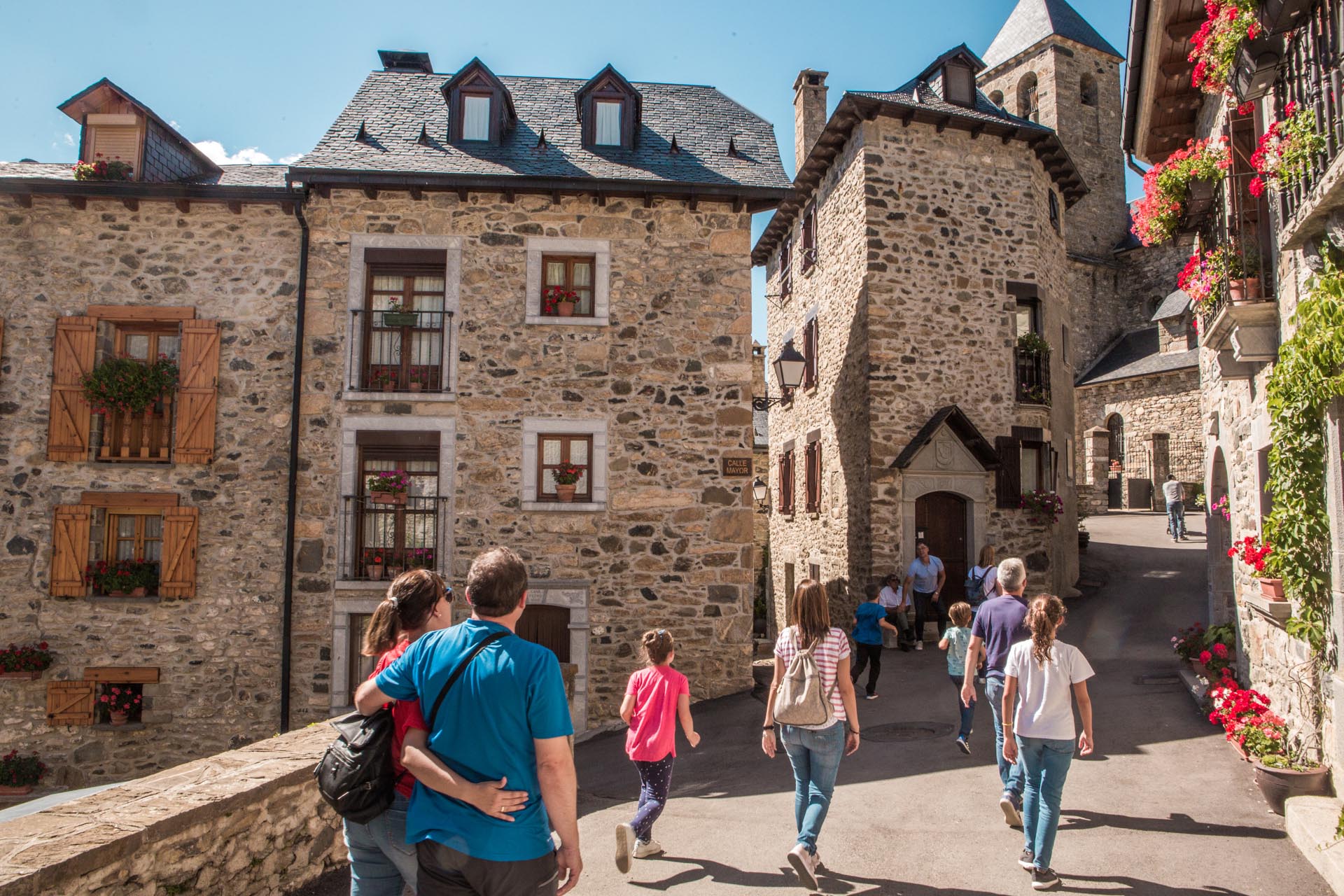
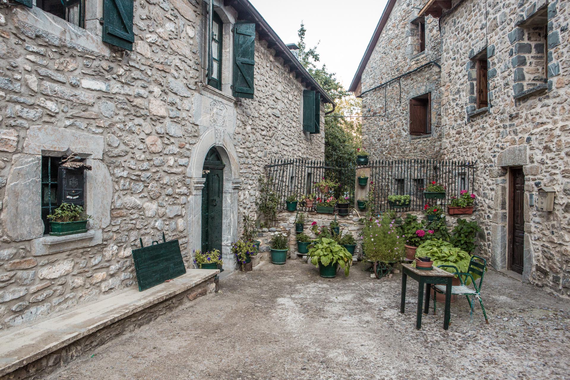
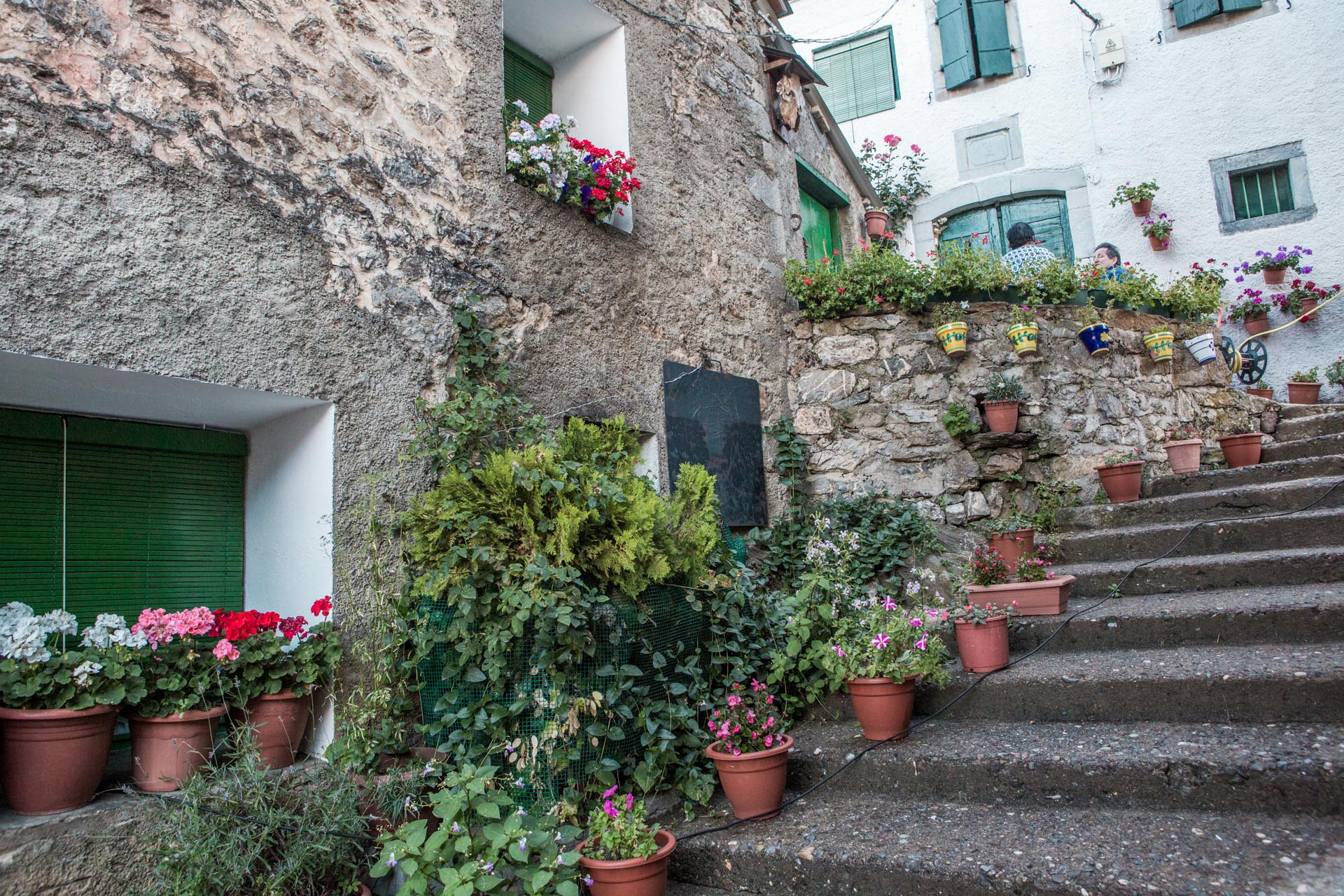
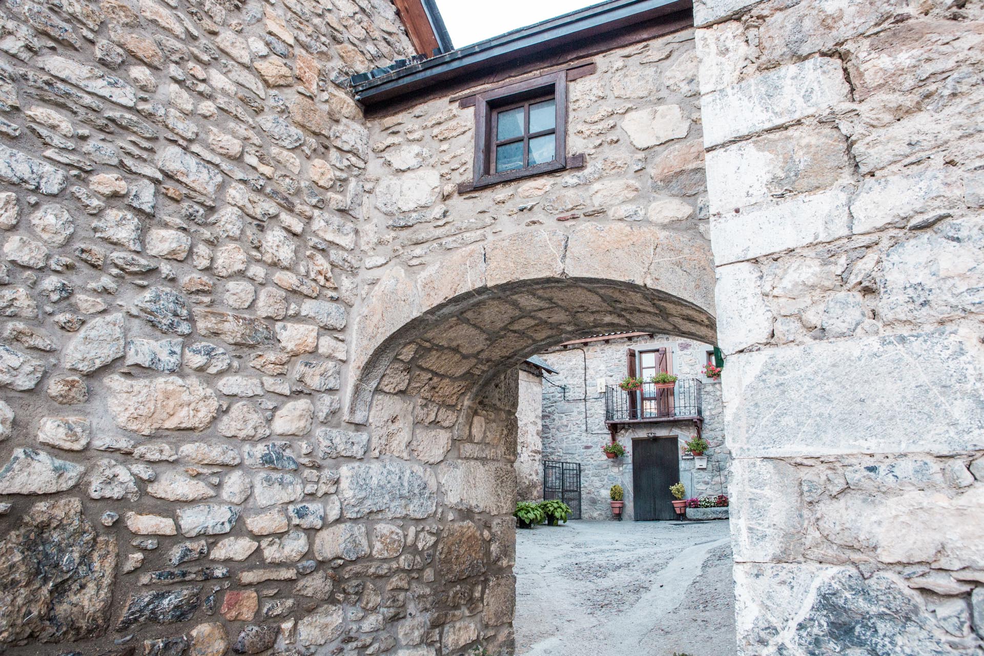
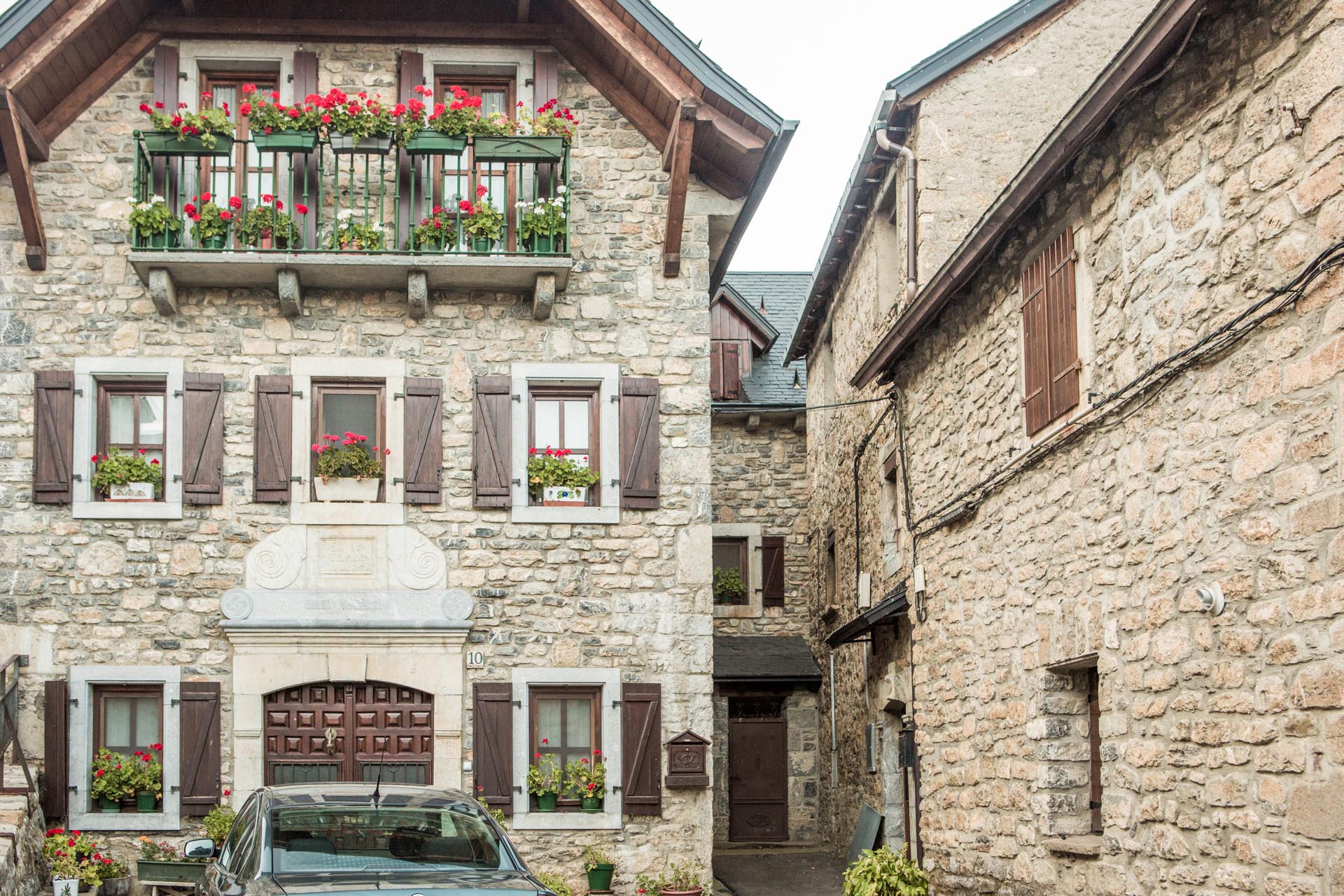
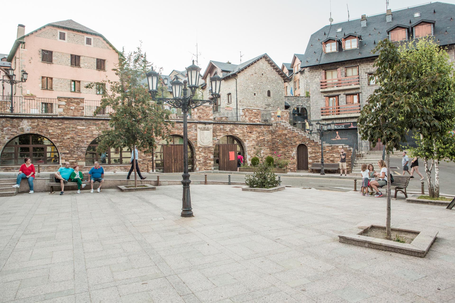
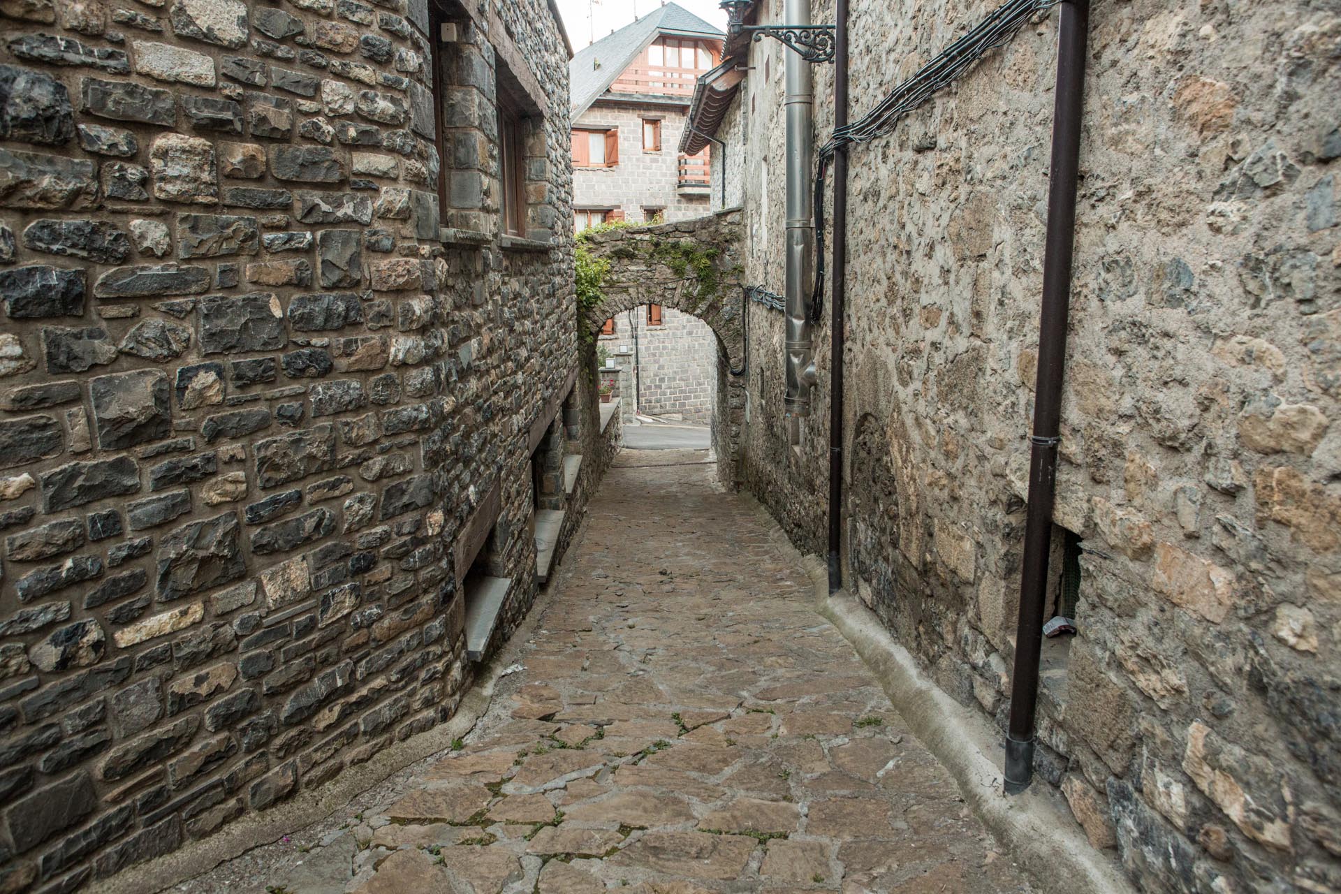
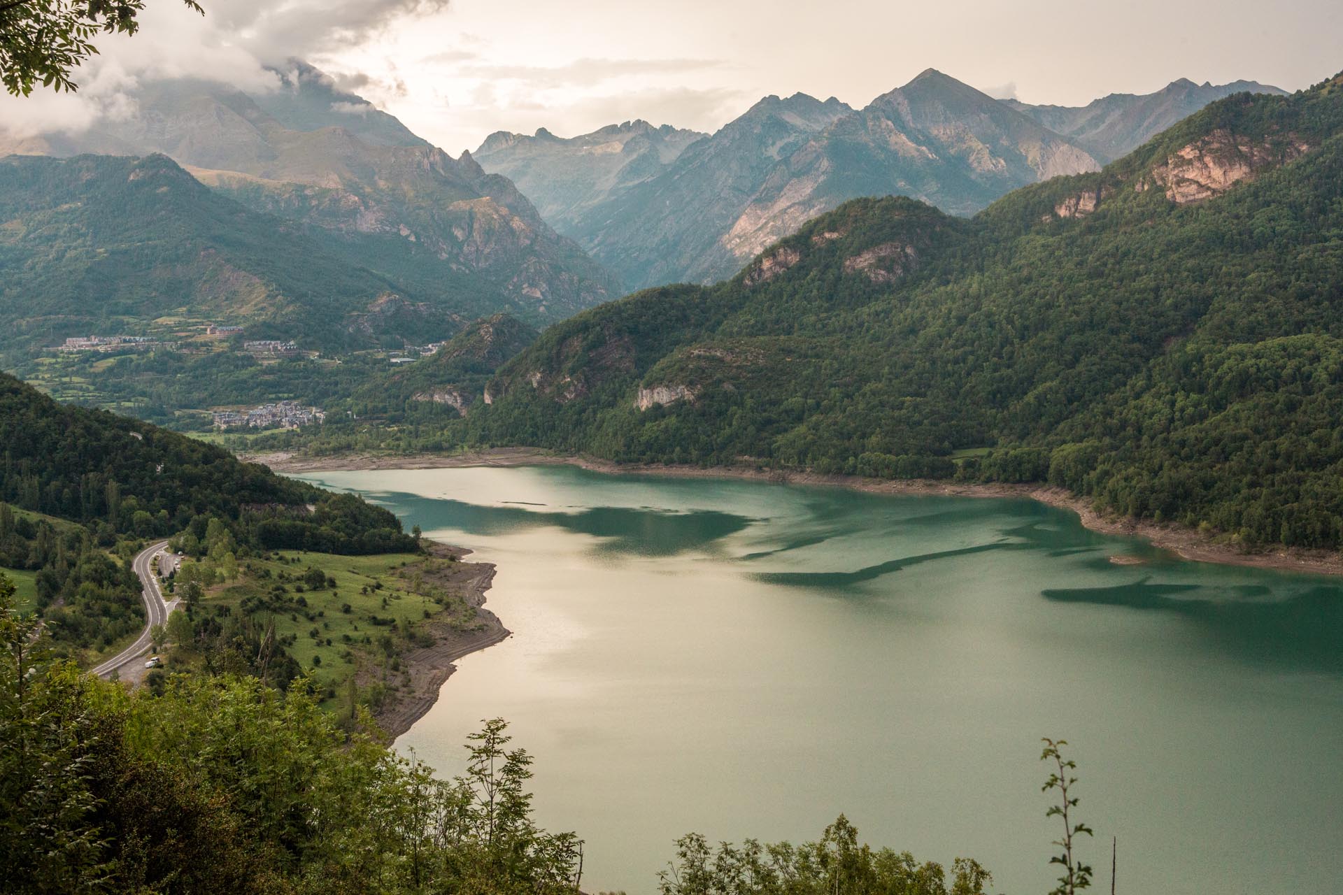
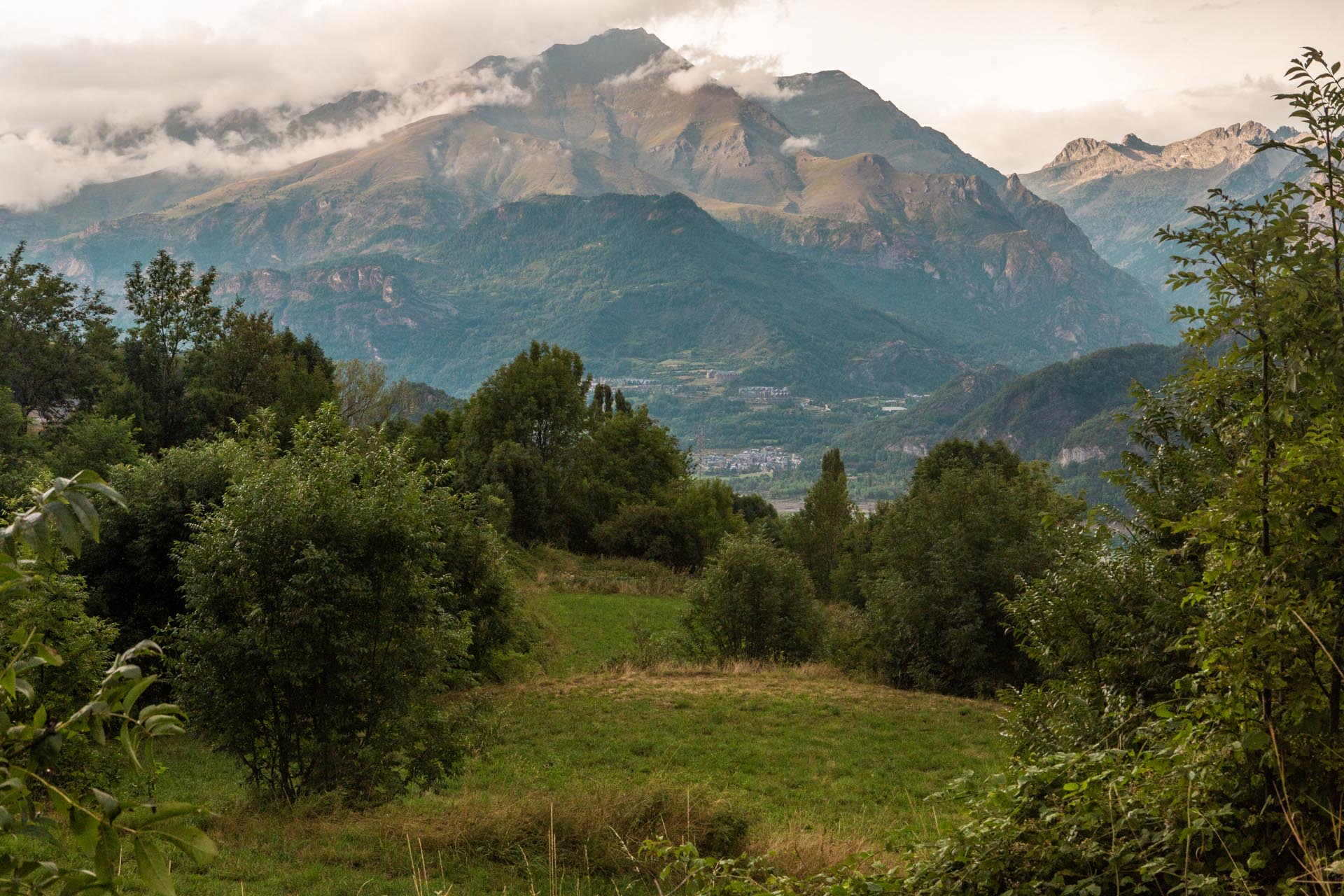
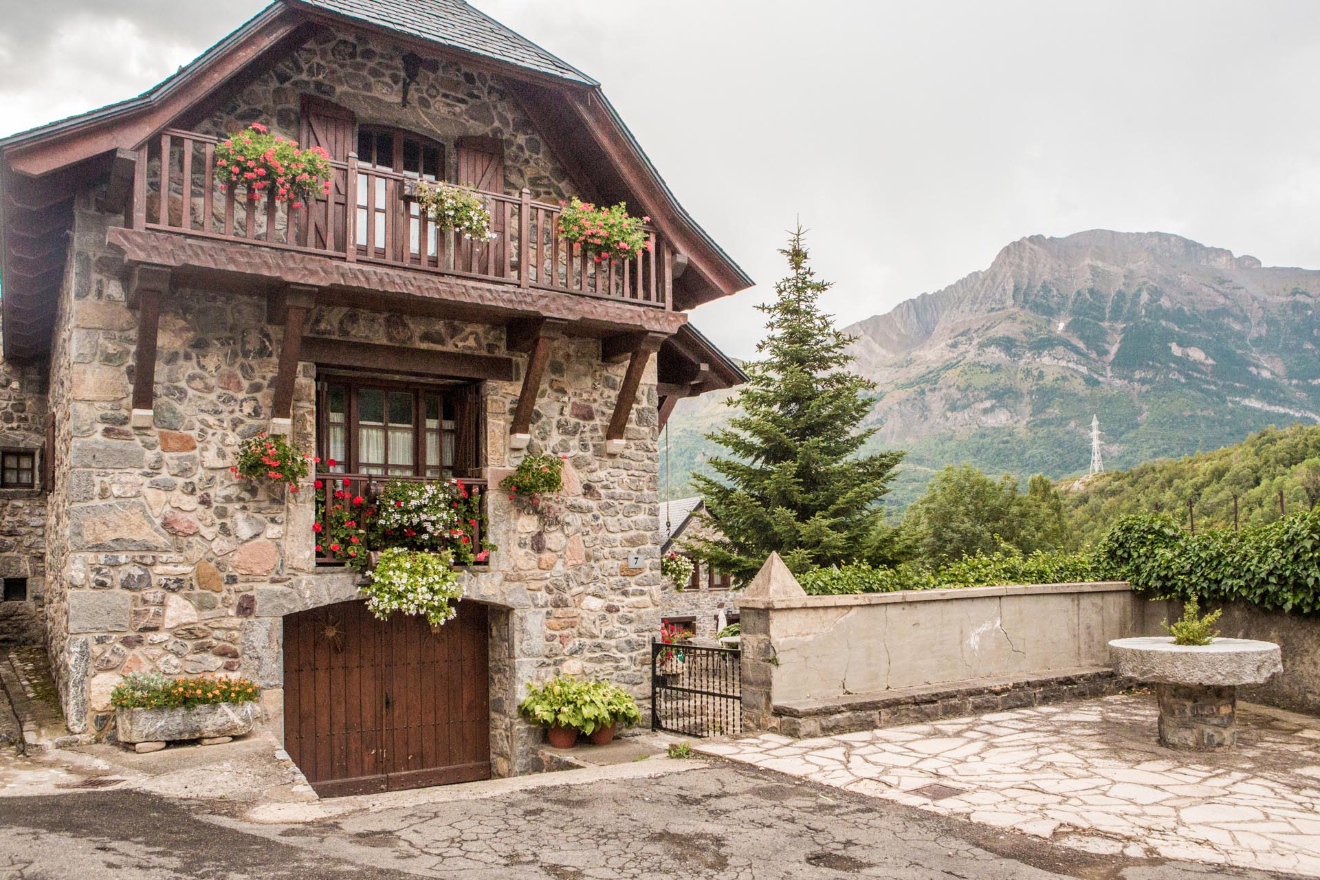
Walking through the town, we can enjoy not only the view of the Pyrenees and the paths suitable for the whole family, but also the splendid stone houses where we can visit the Casa Isabal, a 17th-century manor for the lower nobility and the Interpretation Centre of the Serrablo churches.

Point 1

Leave Lárrede and head southwest to cover the few 2 km that separate us from the church of San Juan de Busa

near_me Point 1

Leave Lárrede and head southwest to cover the few 2 km that separate us from the church of San Juan de Busa

San Juan de Busa

San Juan de Busa is one of the lovely churches that are part of the Serrablo churches.  It dates back to the 10th century and is located outside Lárrede on the left bank of the river. It may have been the parish church of a medieval village that has now disappeared. Today its original state is preserved and one can see that it lacks a bell tower and that the apse is not finished. Its only rectangular nave is covered with a wooden saddle roof.

A compulsory stop between the municipalities of Lárrede and Oliván to enjoy the tranquillity of this hermitage and its natural surroundings.

Point 2

Leave San Juan de Busa and head north. After 4 km you reach Oliván

near_me Point 2

Leave San Juan de Busa and head north. After 4 km you reach Oliván

Oliván local_hotel

The village is situated on the left bank of the Gállego River, a few kilometres from Lárrede, on the slope of the mouth of the Oliván Gorge, which descends from Sobrepuerto.

The San Martín church, dating from the first half of the 11th century, is worth mentioning. It also belongs to the group of Serrablo Churches. The hermitage was extended in the 16th century and restored in 1977.

The popular architecture of the buildings, the natural environment and the hiking trails will make this small village an enjoyable experience.

Point 3

Leave Oliván in a southwesterly direction and walk 3.9 km to Orós Bajo.

near_me Point 3

Leave Oliván in a southwesterly direction and walk 3.9 km to Orós Bajo.

Orós Bajo local_hotelrestaurant

On the left bank of the Gállego, just a few kilometres from Oliván and Biescas, we can find the centre of Orós Bajo. From here it is possible to walk (for about one hour) to the spectacular waterfall of the same name. Hidden between the deep walls of the gorge of Os Lucás, this small paradise (shaped for centuries by the action of water) is composed of two successive waterfalls of about 5 and 7 meters in height and ending in a pool. A great attraction in the summer months to cool off on the hottest days.

In the very same village, in addition to the traditional architecture of the houses, we can admire the Santa Eulalia church, another of the beautiful churches of the 11th century that is part of the “Route of the Serrablo Churches“.

Point 4

Leave Orós Bajo and take the N-260 de 8,1 Km bs Biescas.

near_me Point 4

Leave Orós Bajo and take the N-260 de 8,1 Km bs Biescas.

Biescas local_hotellocal_gas_stationrestaurant

Biescas is the gateway to the Valle de Tena Valley, one of the most visited strategic enclaves in the entire Aragonese Pyrenees. The village preserves all the beauty and taste of an authentic Pyrenean village and has a rich architectural heritage: defensive structures such as La Torraza, two churches of Romanesque origin, various examples of original farmhouses that have remained faithful to local folk architecture, the main square, the town hall… The town is part of the Ordesa-Viñamala Biosphere Reserve, one of the first reserves in Spain to be declared a protected area by UNESCO and one of the best examples of Pyrenean ecosystems.

Its privileged position as a transport axis with the Tena Valley, the Serrablo, the Broto Valley and France as well as the available services and the beautiful natural environment have made Biescas a national tourist reference of the Pyrenean ecosystems.

Point 5

From Biescas, head north on the A-136 to cover the 4.8 km to the Santa Elena hermitage.

near_me Point 5

From Biescas, head north on the A-136 to cover the 4.8 km to the Santa Elena hermitage.

Santa Elena Hermitage

5 km from Biescas lies the legendary Santa Elena hermitage, situated above a ravine in a beautiful place next to a prehistoric dolmen.

The hermitage is one of the most important religious enclaves of the Alto Gállego region. It is a temple built in the thirteenth century and has undergone many renovations over the centuries. Next to the hermitage there is a fountain known as the Fuente de la Gloriosa. The legend that surrounds this fountain is one of the most widely told in the area. The Fuente de Santa Elena fountain, a late 19th and early 20th century structure, can also be seen nearby. Here we also find a group of post-war bunkers that were part of the Pyrenees defence line that ran from the Bay of Biscay to the Mediterranean (P line).

Very close to the path that leads to the hermitage is the Santa Elena Dolmen. The remains of dolmens found on the flat plain of Santa Engracia indicate that Biescas was inhabited as early as the third millennium BC. Some of them were rebuilt, resulting in this very famous dolmen.

Point 6

Leave the hermitage in Ruchtung north on the A-136. At km 2.2 take the turn-off to the right for Hoz de Jacaa. After 2.7 km you will reach your destination.

near_me Point 6

Leave the hermitage in Ruchtung north on the A-136. At km 2.2 take the turn-off to the right for Hoz de Jacaa. After 2.7 km you will reach your destination.

Hoz de Jaca local_hotelrestaurant

At 1272 metres above sea level, below the Peña Blanca and Peñas de Hoz, Hoz de Jaca is a true natural lookout point over the Búbal reservoir. The small village, made picturesque by the whole of its surroundings, has the typical buildings of the mountains, pretty coats of arms on the facades and a strict control of the new buildings; all this makes it a very inviting place.

It is also a wonderful starting point for hikes and high mountain tours. Thanks to its beauty and low difficulty, the routes from Hoz to Panticosa via Fratacoz and from Hoz to El Pueyo via La Aliana, as well as the ascent to the Sabocos Lakes, are particularly worth mentioning.

The Tirolina Valle de Tena (rope slide) is one of the places of interest. It was inaugurated in 2016 and is unique in Europe because of its length and the chance to enjoy the slide as a couple.

We also recommend a visit to the baroque parish church and the impressive Mirador del Muro viewpoint. It literally hangs above the Búbal reservoir and offers a magnificent view of the valley, the Peña Telera mountains and the Sabocos and Los Asnos lakes.

Hoz de Jaca can be reached via El Pueyo de Jaca or via the Búbal reservoir.

Point 7

Leave Hoz de Jaca via Avenida Mirador and follow Carretera de Hoz for 5.4 km to reach El Pueyo de Jaca.

near_me Point 7

Leave Hoz de Jaca via Avenida Mirador and follow Carretera de Hoz for 5.4 km to reach El Pueyo de Jaca.

El Pueyo de Jaca local_hotelrestaurant

El Pueyo de Jaca is located 1,091 metres above sea level on the left bank of the Gállego, at the end of the Búbal reservoir.

Thanks to its location on the Camino Real (Royal Trail), the town has been the administrative capital of the valley since the 17th century and had up to 241 inhabitants in the last century. Despite its rapid growth, its buildings have not lost their mountainous character thanks to a rehabilitation plan for all its dwellings.

The parish church of San Miguel (16th century) was taken over by a later, 18th-century church and consists of a single nave with side chapels (1580 is engraved on the lintel leading to the sacristy). The Concellar Bridge, over which the Royal Trail crossed, is another of its monuments; it was built in 1550, but has been rebuilt several times.

In the 70’s, the Búbal reservoir flooded the best plots, but thanks to a small number of inhabitants the city has remained alive. You should not leave the town without trying itssopetas” (a peach punch).

Point 8

Take the Carretera Puente Escarrilla to the A-2606 to cover the 3 km that separate us from Panticosa.

near_me Point 8

Take the Carretera Puente Escarrilla to the A-2606 to cover the 3 km that separate us from Panticosa.

Panticosa local_hotelrestaurant

Panticosa is an enchanting village on the course of the Caldarés river at 1,200 m above sea level, where its large stone houses, its steep and narrow streets, its impressive corners and its reputation as a resort and healthy air in summer are characteristic.

Surrounded by beautiful mountains with lakes and several peaks of more than 3000 metres in height, Panticosa is the ideal place to practice all kinds of mountain sports that allow visitors to discover unique routes. The parish church was built in the late Gothic style in the 16th century. It was built under the name of Santa María de la Asunción on the remains of another 11th century church. It has a Gothic-Aragonese tableau altar from 1480 and an altarpiece with polychrome alabaster paintings.

The Aramón Panticosa ski area completes the offer of the place. Its slopes can be reached via a wide promenade at the foot of the river from which the cable car runs. In summer it is also possible to make a nice excursion in the same cable car that brings us closer to the Asnos and Sabocos lakes and the natural lookout point of Cuartale. In addition, the famous Baños de Panticosa thermal spa stands 8 kilometres away from the city.

Part of the village area is occupied by the Pyrenees Glaciers Natural Monument.

Point 9

Leave Panticosa via Barrio Alto and take the A-2606 to reach the thermal baths after 7.7 km.

near_me Point 9

Leave Panticosa via Barrio Alto and take the A-2606 to reach the thermal baths after 7.7 km.

Balneario de Panticosa local_hotelrestaurant

The Balneario de Panticosa Spa is a privileged and unique enclave. It is located at an altitude of 1,636 metres in the glacial basin of the Caldarés River, whose granite walls are composed of peaks that stand at more than 3,000 metres and from whose heights the water begins to flow down to Lake Ibón de los Baños, which is located in the spa itself.

The discovery of Roman coins from the time of Augustus and Tiberius near the spring of Tiberius testifies to the Roman presence in this enclave and the conscious use of thermal water since that time. In 1694, the first building was erected on this site, but it was not until the 19th century that the thermal baths reached their full splendour and were designed as we know them nowadays: a garden and a forest were created, emblematic buildings and fountains were erected… In the first half of the 20th century, the spa was the thermal centre par excellence for much of the Spanish bourgeoisie, being visited by many famous personalities. This beautiful place has been declared a Historical Site (Historical Place).

Point 10

Leave the spa on the A-2606 and take the Escarrilla turn-off to the A-136, which will take you a total of 12.2 km.

near_me Point 10

Leave the spa on the A-2606 and take the Escarrilla turn-off to the A-136, which will take you a total of 12.2 km.

Escarrilla local_hotelrestaurant

Escarrilla is located at an altitude of 1,120 m. and is several metres above the Escarra river, at the confluence with the Gállego. Walking through the streets of the two districts you will find splendid old houses with their façades, coats of arms and windows, as well as the two 19th-century fountains. The magnificent architecture of the old buildings (which seem to be influenced by neighbouring France) gives this typical Pyrenean town its character.

Surrounded by beech, pine and fir forests, Escarrilla offers us its magnificent nature and the beauty of its landscape. It is an ideal place for sporting activities at any time of year, where fans of hiking, climbing, canyoning, hunting, fishing…. find a privileged environment to fully satisfy their hobbies.

The most common excursions and hikes are to the Escarra reservoir, Punta Cochata, the village of Sandiniés and the “El Saldo del Escarra” cascade.

Point 11

From Escarrilla de A-136 take the road to the right to Camino de Lanuza ze and continue forwards. A total of 3,9 km.

near_me Point 11

From Escarrilla de A-136 take the road to the right to Camino de Lanuza ze and continue forwards. A total of 3,9 km.

Lanuza local_hotelrestaurant

Lanuza is located in one of the most impressive spots of the Tena Valley, at 1,265 metres above sea level, on the left bank of the Gállego River. Lanuza is documented as early as the 13th century and is now part of the municipality of Sallent de Gállego.

Its houses, built around the church and staggered on the hill, were the birthplace of Aragonese jurisprudence. The construction of the reservoir, named after the village, in the 70s brought about the abandonment of the village. It was rebuilt and today constitutes one of the most picturesque corners of the Tena Valley.

In July, a floating stage is set up here in the reservoir for the performances of the famous international cultural festival “Pirineos Sur“.

The Camino Natural del Embalse (Nature Trail to the Lanuza Reservoir) offers us a beautiful panoramic view of the reservoir, the Peña Foratata peak and Sallent de Gállego. During the tour we will enjoy one of the most famous views of the Tena Valley. This is a route for one to get to know the vegetation of the area in tranquillity and to relax in the various quiet zones along the way.

Point 12

From Lanuza, take the Camino de Lanuza and turn right onto the A-136 towards Sallent de Gákkego. 5.4 Km.

near_me Point 12

From Lanuza, take the Camino de Lanuza and turn right onto the A-136 towards Sallent de Gákkego. 5.4 Km.

Sallent de Gállego local_hotelrestaurant

Sallent lies at the beginning of the Tena Valley. It is a typical place of the Aragonese Pyrenees and is situated at 1,305 metres above sea level at the end of the Lanuza reservoir and on the slope of the impressive Peña Foratata.

Sallent enjoys an exceptional mountain landscape that combines the beauty of its peaks, forests and lakes with the popular architecture of the valley.

In the past and, together with Lanuza, the town formed the so-called Quiñón de Sallent, one of the three historical areas into which the administration of the valley was divided.

The town has a beautiful Gothic-style parish church from the early 16th century, with a beautiful Renaissance altarpiece. The medieval bridge (next to which is the children’s playground and picnic area) is also worth visiting. Coats of arms, gates, windows… and on the square there is a triple Romanesque arch, contrasting with a modern climbing wall.

One of Sallent’s peculiarities is its privileged location, as it is the starting point for numerous excursions to places such as the Circo de Piedrafita, the Picos del Infierno peaks and the Ibón de Anayet lake. On these quiet paths we can find lakes, gorges and ridges, and admire beautiful landscapes.

Point 13

At Sallent take the Lanuza-Sallent road to Lanuza. Once in Lanuza, take the A-136 IN towards Formigal. 10,4 Km.

near_me Point 13

At Sallent take the Lanuza-Sallent road to Lanuza. Once in Lanuza, take the A-136 IN towards Formigal. 10,4 Km.

The Formigal ski resort local_hotellocal_gas_stationrestaurant

The Aramón Formigal ski resort is located at an altitude of 1,550 metres, just a few kilometres from the French border of Portalet. Formigal is an important international centre for skiing and snow sports and a place for mountain sports in summer.

Its privileged location guarantees a good quantity and quality of snow during the winter season. With 137 kilometres of pistes, Aramón Formigal has become one of the most important ski resorts in Spain, making it the ideal reference for winter sports enthusiasts.

Its San Úrbez y San Miguel church, now near the ski resort, was originally located in the uninhabited village of Basarán (in the municipality of Broto), from where it was moved in the early 1970s. Built in the eleventh century, it belongs to the group of the Serrablo Churches, which are unique in Spain.

Among the most frequent excursions and hikes is the GR-11 Long-Distance Trail: to Sallent de Gállego (via Canal Royal); to Canfranc (via Canal de Izas); to the Ibones de Anayet lakes and Collado de Foratata.

From the Tres Hombres summit you can see great peaks of the Pyrenees: the Midi D´Ossau, Balaitus or Picos del Infierno, in an impressive mountain range.

Point 14

From the Formigal ski resort, head south on the A-136 and you will see the junction for Sandiniés. 10,0 Km.

near_me Point 14

From the Formigal ski resort, head south on the A-136 and you will see the junction for Sandiniés. 10,0 Km.

Sandiniés local_hotelrestaurant

Sandiniés is located on the right bank of the Gállego, at an altitude of 1,294 metres, on the steep slope of the Partacua Mountains. This small and picturesque village preserves the tranquil atmosphere of the Tena Valley. The well-preserved and well-kept town centre is one of the least altered in the Tena Valley and retains all the typical features of the valley towns in its streets, buildings, portals and coats of arms.

Two streets and a square form a charming unit with impressive mansions and interesting corners. Although some of the houses date from the 17th century, most were built in the 19th century. On the square we can see the old washing place, the water hole and the fountain. Among the buildings, a beautiful Romanesque parish church stands out.

From its lookout point, you can admire the confluence of the Gállego and Caldarés rivers and all the high peaks of the region in a splendid panoramic view.

The most frequent excursions and walks are: to the village of Tramacastilla de Tena, to the village of Escarrilla, to the Escarra reservoir, to the Punta Cochata and to the “El Saldo” cascade.

Point 15

Take the 1.1 km from Sandiniés to Tramacsatilla on the road that connects the two towns.

near_me Point 15

Take the 1.1 km from Sandiniés to Tramacsatilla on the road that connects the two towns.

Tramacastilla de Tena local_hotelrestaurant

At an altitude of 1,224 metres, on a sunny slope that dominates the valley floor, this beautiful village lies in a landscape of exceptional beauty, hidden among pine hills, oak groves and meadows. On the horizon, as a background, one sees the haughty and rugged Peña Telera and Peña Blanca, and at their feet, the Búbal reservoir.

The folk architecture includes stone facades with coats of arms and windows decorated with flowers. There are also numerous balconies and, above all, the fountain and the old village laundry stand out.

The most outstanding building is the San Martín church. Originally a twelfth-century Romanesque temple, it was strongly reformed in the seventeenth century. The main altar is dominated by an outstanding Renaissance altarpiece from the 16th century.

Tramacastilla is a magnificent place for hiking. A good option is to walk through the Betato forest (one of the region’s most attractive forests) to the nearby Piedrafita de Jaca, ascend to the Ibón de Tramacastilla lake, practise water sports in the Búbal reservoir or cross-country skiing at the nearby Partacua ski resort.

In summer it is possible to make a beautiful excursion with the “Tena Valley Tourist Train“, which will reveal the incomparable landscape of the surroundings for about two hours.

Point 16

Leave Tramacastilla on the A-136 to cover the 6,3 km to Piedrafita

near_me Point 16

Leave Tramacastilla on the A-136 to cover the 6,3 km to Piedrafita

Piedrafita de Jaca local_hotel

Piedrafita de Jaca is situated at an altitude of 1,242 metres at the foot of the Sierra de la Partacua, below the Peña Telera. This place will enchant you with its natural environment and its beautiful traditional Pyrenean architecture. If you walk through its streets, you will find the church of San Andrés from the twentieth century.

From Piedrafita de Jaca we can enjoy a hiking trail that connects the town with Tramacastilla de Tena. The path leads through the idyllic Bosque del Betato forest. According to legend, this ancient forest was a meeting place for witches, magicians, elves… and the location for “Aquelarres” (Witches’ Sabbaths), at a time when witchcraft took possession of the Tena Valley. Other excursions can be made to places of great beauty, such as Lake Piedrafita.

Point 17

Leave Piedrafita via the only road in the direction of Lacuniacha. 1,9 Km

near_me Point 17

Leave Piedrafita via the only road in the direction of Lacuniacha. 1,9 Km

Parque Faunístico de Lacuniacha – Animal Park

Two kilometres from Piedrafita de Jaca and between 1,380 and 1,580 metres above sea level, the animal park is situated in a forest at the foot of the Sierra de Partacua and under the watchful eye of Peña Telera.

A pleasant walk on unpaved nature trails and through lush forests allows us to observe a variety of animals in semi-freedom at close range. The guest can reach the entrance by car and it is only necessary to be well equipped with suitable clothing and mountaineering boots. The rest of the facilities are available (including baby carriers for babies and toddlers). The park has two rest areas where you can rest and eat. Along a distance of approx. 4.5 km the (well signposted) ways lead us to the animal enclosures, where we can observe wild goats, lynxes, wolves, deer, moose, reindeer, bison, Pzewalski horses, chamois, fallow deer, deer and many other animals in their natural habitat.

Lacuniacha is located in a Special Protection Area for Birds (SPA) and is therefore a protected area of the European Union. There are two ornithological observation points and an area for photographing birds of prey.

End of route

Take from Lacuniacha doe A-136 and further ahead, the junction rightyts to the A-2606 until you reach Búbal 13.4 Km.

near_me End of route

Take from Lacuniacha doe A-136 and further ahead, the junction rightyts to the A-2606 until you reach Búbal 13.4 Km.

Búbal local_hotelrestaurant

Búbal, with its splendid view onto the Peña Telera, is a place influenced by the construction of the reservoir named after it. The reservoir flooded a large part of the area and the villagers had to leave their village. However, the upper part (which was also abandoned and expropriated) was not affected by the construction of the reservoir and therefore became part of the Restoration of Abandoned Villages Program in 1984. After many years of work, it was possible to rebuild most of the village and the 18th century parish church of San Martín.